

frd
-
Posts
6,931 -
Joined
-
Last visited
Content Type
Profiles
Blogs
Forums
American Weather
Media Demo
Store
Gallery
Everything posted by frd
-
Things warming faster and faster.
-
In the end this means nothing. Just mentioning it. We are in a new background state as well. Hard to get excited about any meaningful winter weather since the super El Nino reset. Even blocking doesn't work anymore. Less cold air to work with and less baroclinic boundaries .
-
October following September as a new later summer month. Well, that might be grasping, but obvious the cooling that was modeled is vanishing The cooler weather beyond day 5 might simply be falling daily temps following climo.
-
from bluewave. And yes, the dew points have been off the hook ! < Continuation of our new subtropical climate theme. The dew point at JFK reached 70° again today. This was the 64th day so far this year. All the top years for 70° or higher dew points have occurred since 2016. https://mesonet.agron.iastate.edu/plotting/auto/?_wait=no&q=161&network=NY_ASOS&zstation=JFK&var=max_dwpf&dir=aoa&thres=70&month=all&year=2021&dpi=100&_fmt=js #1…..89 days….2018 #2….77 days…..2019 #3….68 days…..2016 #4….64 days…..2021…2020 >
-
The first significant drop in the AO might be in the cards for late month. Would like to see this actually happen to the degree forecasted and verifify to lend credence of computer modeling of a weak PV in November and December .
.thumb.gif.5c73217a831263ec31313978eb916389.gif)
-
Are you sure about that? This stat, ( below ) is for nearby NY Central Park, but other sites up and down the east coast have been warming dramatically. This is from Donald Sutherland recent post: New York City's Central Park is on track to record a low temperature of 70° or above today. The mean last date such a temperature has increased 4 days from September 10 (1951-80) to September 14 (1991-20). The interval from the first and last dates has also widened 9 days to 104 days during that time. Most of that widening has occurred during the most recent 30-year period (104 days vs. 96 days for 1981-2010). Overall, September has been warming to the extent that it is now more an extension of summer than gateway into autumn.
-
I will take this as a positive start.
-
I'm not sure what you're really talking about. Originally the front was forecast to pass our area on Wednesday. Thursday and Friday we're going to be sunny, if you read the Mount Holly AFD you'll still see that Wednesday and Thursday look unsettled. The sun will break out Friday morning late. I would appreciate if people pay attention to a poster's entire post. I said things may change , I never said it's certain. fyi nothing in weather is definite
-
Very true. By Sunday warming begins again. What was forecasted as a nice 4 day period has turned into really just one, Saturday. Might change of course but strong upstream blocking is messing up everything in terms of a quick frontal passage.
-
Some indications the AO may start to go negative later this month.
-
Not sure the Euro has the handle on this just yet. The trend seems to be a slower frontal passage due to upstream blocking with higher rainfall totals as a result. Coolest post frontal anomalies may never make it to the coastal areas due to resistance from the WAR. FYI, the WPC seems to be going wetter over a larger area versus what the Euro has here.
-
Euro agrees, wow !
-
Certainly doesn't look like we enter October like a dessert. Soil moisture overall would favor a normal temp profile for the first part of the month. However, that would be unusual given the past 5 years. Also taking note that the AO is going towards more neutral, the NAO expected to turn negative, and the PNA after going on a major dive into negative territorry it may flip dramatically back to positive in early October.
-
Get ready for the inland trackers, coastal huggers and of course our friend the "cutter".
-
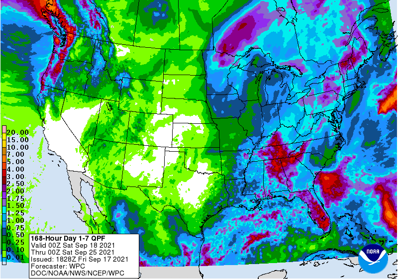
The scale's color scheme seems more dramatic than the actual numbers, but is still warmer nonetheless.
-
Still steamy out despite the wind change. Current dew point here is 70.
-
Does this include Delaware South of I-95 as well ? Mount Holly alluded to this potential in the recent 10:11 AM short-term AFDupdate, but didn't mention what the 12z CAMs showed.
-
After October 7 th
-
Dew point currently 71 at 8:00 AM., just nasty for mid September.
-
Exactly, looks aweful ! September should be another August. Climo is getting warmer and warmer right before our eyes.
-
Fits the pattern of the Euro weeklies which shows a robust WAR into early October. You just need the correct timing, but that is an odds thing. Overall, the potential is there.
-
I can dream though. I imagine surf temps will be like the last few years, maintining above 70 F. deep into September, maybe even early October.
-
Mount Holly just added Northern Delaware to a FFW Flood Watch National Weather Service Mount Holly NJ 604 PM EDT Wed Sep 8 2021 DEZ001-090800- /O.EXB.KPHI.FF.A.0010.000000T0000Z-210909T0800Z/ /00000.0.ER.000000T0000Z.000000T0000Z.000000T0000Z.OO/ New Castle- Including the cities of Wilmington 604 PM EDT Wed Sep 8 2021 ...FLASH FLOOD WATCH IN EFFECT UNTIL 4 AM EDT THURSDAY... The National Weather Service in Mount Holly has expanded the * Flash Flood Watch to include a portion of northern Delaware... including the following area...New Castle. * Until 4 AM EDT Thursday. * Thunderstorms with heavy rain are forecast to move through the region this evening into the overnight period. Heavy rainfall of one to two inches may quickly lead to flooding of flood prone and other low-lying areas due to rapid runoff.


.gif.d617dc01794f476bb362d84e9a4009c0.gif)
