weatherwiz
-
Posts
81,150 -
Joined
-
Last visited
Content Type
Profiles
Blogs
Forums
American Weather
Media Demo
Store
Gallery
Everything posted by weatherwiz
-
You may want to count backwards
-
Every time I am outside with the dog in the evening I keep telling myself these few things In a few months it will still be light out There will be leaves on the trees It will be hot and humid It's almost here
-
I think I would set myself on fire. I've become a big baby over the years with the cold. I put alot of blame in getting my drivers license/driving. Back before then I used to pretty much walk (for the few part time jobs I had it was usually a 45-90 minute walk depending on the job) or take the bus to hockey games. But I walked in all elements. Now I can't stand to be outside for more than 2 minutes in the cold...I've done it to myself with getting lazy.
-
I don't know how people who live in climates where that stuff is daily during the winter. Despite the cold though I am pleased with how quickly the ice in the driveway and at the bottom of the driveway has melted. Contrary, virtually no melting of anything in the backyard which is kind of stunning because it gets direct Sunlight. But I am fine with this...the landscape is beautiful. I wish though the patio would melt for the dog. I've tried to use the ice chopper but no use.
-
Teens/lower 20's and wind is still pretty awful though and even if some of the mornings were the product of radiational cooling, it doesn't change the fact that its bitterly cold. -5F from the product of the airmass is no different than a -5 from radiational cooling (Edit: But I do like the reference of radiational cooling as fake cold). But the duration of this cold has been awful...I mean thankfully we've gotten some semblance of wintry weather these last few weeks but for how cold it has been consistently...I would have loved to do a helluva lot better
-
I violently disagree with this assessment.
-
If there is one good thing about the cold…dog poop freezes quickly making it easier to pick up. Though I had to kick a piece to get it loose
-
Please end this cold and wind.
-
Thankfully we're about 2 months away from heat and humidity.
-
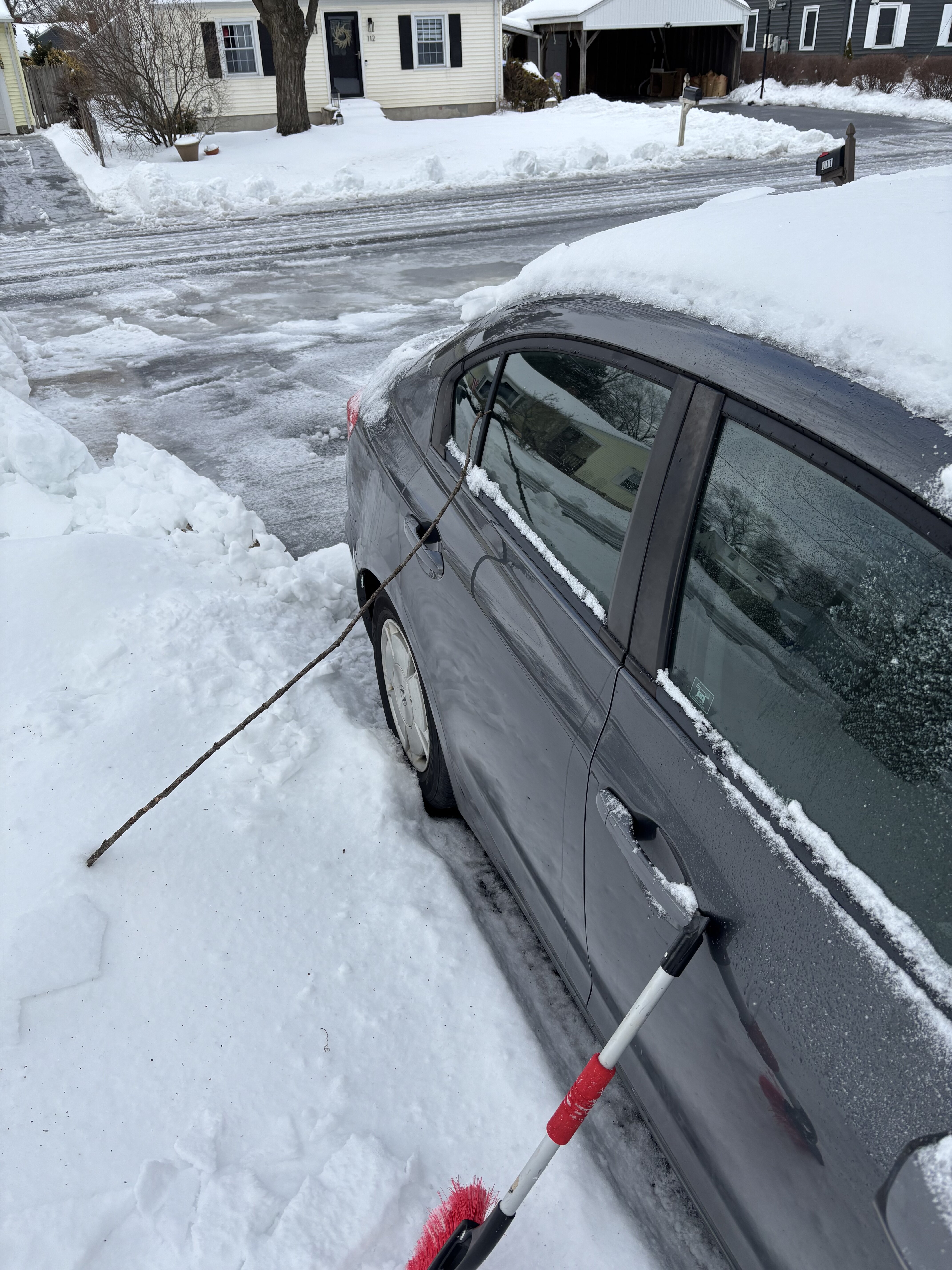
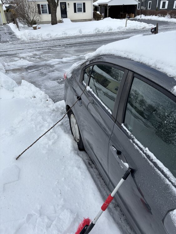
I am desperately ready for warmer weather now. This has gotten ridiculous. The ice too in the driveway and at the bottom is absolutely wild. Spent 2+ hours last night working on it. Had to be a good 4" think. Had to go to the dentist this morning and thankfully I was able to get out of the driveway...road here though is a disaster. It was slipping and sliding until I was able to get to the main road. Getting into the driveway...almost didn't happen.
-
Looks like Phil trying to toy with me
-
I used to love doing that as a kid during recess in Elementary School. Myself and a few others (sometimes I think I may have even been alone) would walk across the snow and try not to break. Good times. That's how it is outside now...though I am going to have to do some serious work outside after. This isn't good for the dog and it's even worse since he never did fully recovery from the spinal stroke in July. He doesn't even want to go outside to use the bathroom. He just slips and falls on his butt.
-
It's crazy what years of essentially no snow depth will do to the eyes. My snow depth is literally like 4" but it seems like a foot
-
I know I’ve given that message when my storage is about full. But when I post images, I always re-size because they appear massive on mobile or laptop and I’m afraid it will take up peoples screens. so when I upload an image on my phone, I double click it get this. Then u just change the dimension

-
You can also re-size in the reply box. When you upload your pic into your post, double click it and you can adjust the size
-
Snowing nicely out there
-
Oh wow it’s actually snowing out.
-
Actually based on CC should be a plain rain here
-
Looks like a pelt fest coming in
-
Curious to see any reports from Fairfield county soon, that’s some serious wind not far off the ground
-
Impressive swath of wind gusts to our southwest
-
No issues with icing here, must be just a few ticks too warm. Snow is incredibly wet.
-
I did not prepare myself well dress wise. I have ZERO clue what possessed me to wear nothing but shorts. I was wearing shorts with a short-sleeved shirt and I didn't bring any long pants or a sweatshirt so I was just soaked and of course being super skinny I was freezing. I couldn't stop shivering lol. Probably the second coldest I've ever been, behind the outdoor hockey game in Hartford. Coming down steadily again, though I can hear some melting I think so we must be warming. This will probably add more icing to the cars/snow but doesn't seem to be coating trees/power lines...from what I can tell anyways
-
At least I'm 99.9% sure. Wasn't the Earl the one that all of a sudden started to crawl towards the Cape and it was the slower forward speed which factored into the less impressive wind aspect?
-
That was Earl I almost froze to death.