southmdwatcher
-
Posts
1,023 -
Joined
-
Last visited
Content Type
Profiles
Blogs
Forums
American Weather
Media Demo
Store
Gallery
Everything posted by southmdwatcher
-
2022 Mid-Atlantic Severe Wx Thread (General Discussion Etc)
southmdwatcher replied to Kmlwx's topic in Mid Atlantic
St Mary's storm now popped above 50k ft -
2022 Mid-Atlantic Severe Wx Thread (General Discussion Etc)
southmdwatcher replied to Kmlwx's topic in Mid Atlantic
St Mary's supercell has strong mid level rotation -
2022 Mid-Atlantic Severe Wx Thread (General Discussion Etc)
southmdwatcher replied to Kmlwx's topic in Mid Atlantic
Severe Weather Statement National Weather Service Baltimore MD/Washington DC 806 PM EDT Fri May 27 2022 VAC099-280015- /O.CON.KLWX.TO.W.0020.000000T0000Z-220528T0015Z/ King George VA- 806 PM EDT Fri May 27 2022 ...A TORNADO WARNING REMAINS IN EFFECT UNTIL 815 PM EDT FOR NORTHEASTERN KING GEORGE COUNTY... At 806 PM EDT, Doppler weather radar indicated a tornado was located over Dahlgren, moving northeast at 30 mph. HAZARD...Damaging tornado and quarter size hail. SOURCE...Emergency management confirmed tornado. IMPACT...For those in the direct path of a tornado touchdown, flying debris will be dangerous to those caught without shelter. Damage to roofs, siding, and windows may occur. Mobile homes may be damaged or destroyed. Tree damage is likely. Locations impacted include... Dahlgren and Nanjemoy Creek. -
2022 Mid-Atlantic Severe Wx Thread (General Discussion Etc)
southmdwatcher replied to Kmlwx's topic in Mid Atlantic
And we have breaks in the clouds and some sunshine breaking through sporadically. -
2022 Mid-Atlantic Severe Wx Thread (General Discussion Etc)
southmdwatcher replied to Kmlwx's topic in Mid Atlantic
A completely destroyed house as per the Bedford VA scanner. Definitely significant damage to more than one home. Bedford County Sheriff, Fire and EMS, Bedford Police Dispatch Live Audio Feed (broadcastify.com) -
2022 Mid-Atlantic Severe Wx Thread (General Discussion Etc)
southmdwatcher replied to Kmlwx's topic in Mid Atlantic
So, if the 12z NAM 3km is correct about the DC/Baltimore/Fredericksburg area having 1800 to 2500 MLCAPE this region will have some instances of significant severe weather tomorrow. The 300 to 700mb flow is focused towards our area during mid to late afternoon tomorrow. -
2022 Mid-Atlantic Severe Wx Thread (General Discussion Etc)
southmdwatcher replied to Kmlwx's topic in Mid Atlantic
Day 2 Convective Outlook NWS Storm Prediction Center Norman OK 1218 PM CDT Sun May 15 2022 Valid 161200Z - 171200Z ...THERE IS AN ENHANCED RISK OF SEVERE THUNDERSTORMS FROM NORTHERN VIRGINIA INTO NEW YORK... ...SUMMARY... Scattered severe storms are expected Monday from central New York/western New England southward into the Carolinas. Damaging winds, hail, and few tornadoes will be possible through about 00Z. ...Synopsis... A shortwave trough will move quickly from the OH Valley toward the Mid Atlantic during the day, taking on a negative tilt across New England after 00Z. Deep-layer wind fields will strengthen with this trough, with substantial large-scale ascent from VA into NY. A surface trough will deepen as it moves into eastern NY and PA, with dewpoints holding near 60 F within the zone of convergence. Farther south, the main cold front push will occur from MD into VA, coincident with a midlevel dry slot. Here, dewpoints around 65 F will be more common, with a plume of steep low-level lapse rates emanating out of the southwest. ...Northeast and Mid Atlantic into the Carolinas... Thunderstorms will likely be ongoing Monday morning from western PA into WV along the developing cold front, and SBCIN will likely be removed by 15Z due to cool 700 mb temperatures. Storms are expected to become severe between 15-18Z as they develop into south-central NY, central PA, and toward far northern VA. MLCAPE is expected to average 1000-1500 J/kg, with effective deep-layer shear of 40-50 kt. Mixed storm modes may occur, including supercells and QLCS. Damaging wind gusts will be most likely. The tornado threat is expected to increase during the late afternoon as the surface low/trough deepens, low-level lapse rates are maximized, and effective SRH increases to around 200 m2/s2. Cool temperatures aloft and elongated hodographs will also favor sporadic hail in the stronger cells. Although shear will be weaker farther south into the Carolinas, strong heating and plentiful moisture will result in 2000 J/kg MUCAPE with sufficient westerly shear to support multicells with wind and hail threat. A few cells may linger toward 00-02Z. -
2022 Mid-Atlantic Severe Wx Thread (General Discussion Etc)
southmdwatcher replied to Kmlwx's topic in Mid Atlantic
The enhanced area definitely expanded a bit to the west and south. -
2022 Mid-Atlantic Severe Wx Thread (General Discussion Etc)
southmdwatcher replied to Kmlwx's topic in Mid Atlantic
Wasn't April 28. 2002 also a moderate risk for the LaPlata tornado???? Unfortunately SPC is too happy to erase their files now beyond a certain timeframe. -
2022 Mid-Atlantic Severe Wx Thread (General Discussion Etc)
southmdwatcher replied to Kmlwx's topic in Mid Atlantic
Southwest VA down through western NC and upper SC are overperforming this evening with severe storms. The warm front is north of Richmond now. -
Crockett has a large tornado nearby and a BWER near Gilmer TX
-
The Madisonville supercell is tightening up significantly again near Ash Texas
-
From the TAMU radar, Madisonville looks to have a problem incoming. Couplet tightening again. Looks to be passing just west of town.
-
3/12 Event: Winters Last Hurrah at Least East of Mountains
southmdwatcher replied to Weather Will's topic in Mid Atlantic
However, any accumulating snow tomorrow with higher winds and cold temperatures will be a nice send off for this winter. -
3/12 Event: Winters Last Hurrah at Least East of Mountains
southmdwatcher replied to Weather Will's topic in Mid Atlantic
Add another option up there for buttons. DC/South and East jackpot again -
Sprinkles and some sleet mixed in here at the moment
-
January 25 2000, was the ultimate surprise event aside from the shock of PD1's extreme snowfall. March 1993 wasn't a severe snowstorm, but I was in Richmond Virginia for an event. I got to witness the low center pass directly overhead. The heavy snow(6 inches) of the overnight turned into heavy wind driven rain and temps in the mid 40's. The rain stopped and the winds calmed as the sky brightened and then temperatures crashed to the upper 10's in a two or three hour period with a flash freeze and wraparound snow accumulating several inches. January and February 1996 was the best year for overall snowfall in southern Maryland, even eclipsing the very special 2009-2010 season. 1994 had all those icing events. Hands down the best event of my lifetime is PD1. It was the first major snowfall for me. Could barely see the house across the street through the extreme rates and wind. The car engines ended up snowpacked under the hood from the blowing and drifting. Vehicles were practically buried in drifts as the snow ended. Large drifts up to 2nd story windows in southern Maryland and no school for a week as everyone had to help out in digging our street in St. Charles. Never before or since have we had an issue with not getting plowed in each large snowfall within 24 hours.
-
Mid-Atlantic forum winter 2021/22 snow totals thread
southmdwatcher replied to North Balti Zen's topic in Mid Atlantic
1/3 - 14.3" 1/7 - 2.2" 1/17 - 1.7" 1/29 - 2.8" Season - 21.0" -
January 28-29 2022 Miller abcdefu Storm Obs/Discussion
southmdwatcher replied to mappy's topic in Mid Atlantic
-
January 28-29 2022 Miller abcdefu Storm Obs/Discussion
southmdwatcher replied to mappy's topic in Mid Atlantic
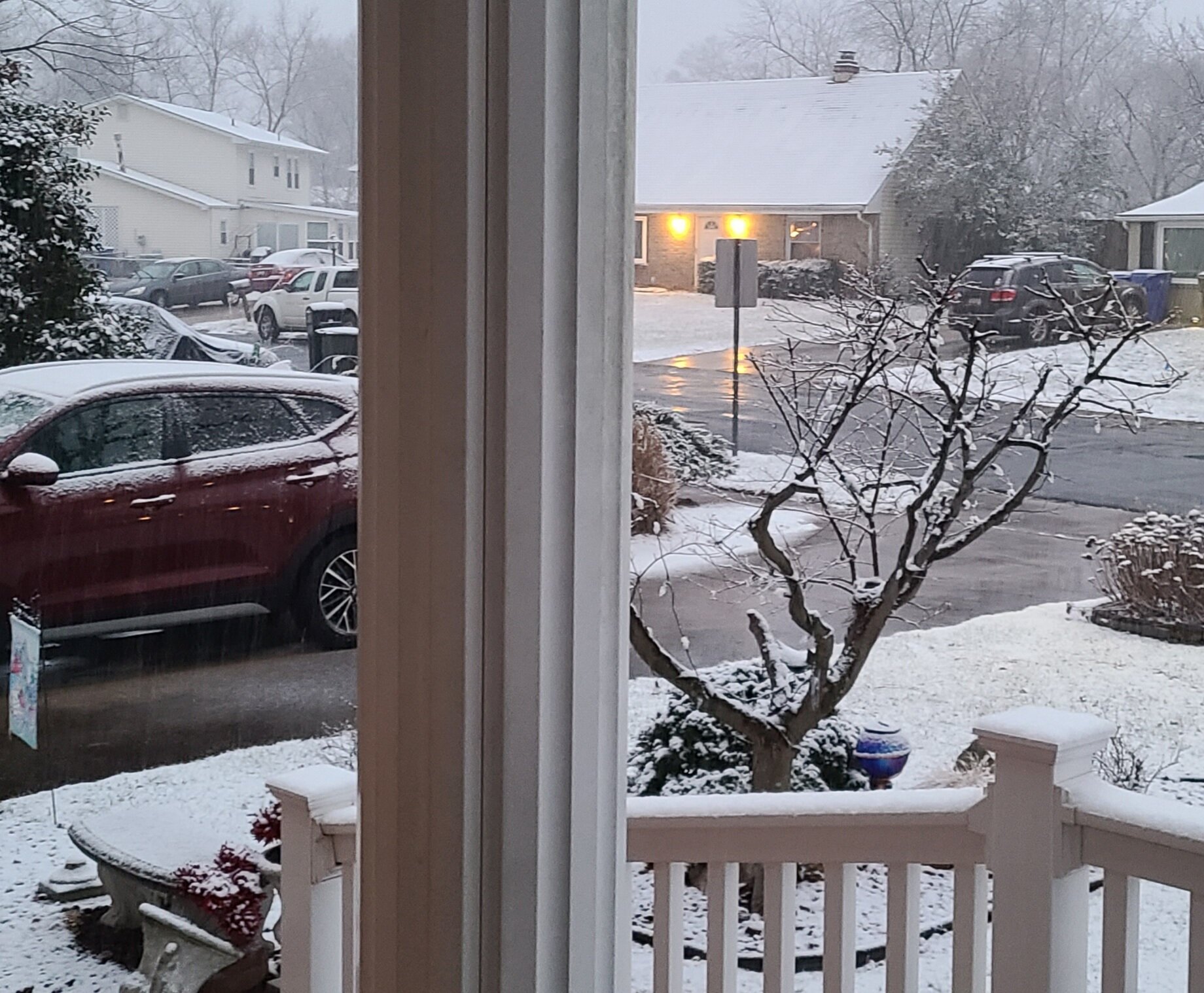
Wow we didn't start snowing here south of Waldorf until after 3pm and everything aside from the streets is covered by half inch or more of snow now. Both vehicles on driveway were driven one hour prior to the start of the snow and both are now totally snow covered. A shame the coastal is tracking further east than needed to bring more meaningful snow tonight. -
Thursday 1/20/22 Stat Padder Discussion and Observations
southmdwatcher replied to stormtracker's topic in Mid Atlantic
Greed is good. Let's go 4 for 4 -
January 16-17, 2022 MLK storm obs/now cast
southmdwatcher replied to George BM's topic in Mid Atlantic
That yellow band starts as larger flakes and heavy snow, but mixes and is moving northwest and will be all sleet at the end