snowfan
-
Posts
10,109 -
Joined
-
Last visited
Content Type
Profiles
Blogs
Forums
American Weather
Media Demo
Store
Gallery
Everything posted by snowfan
-
Just finished biking and working in the garden. Already 97 at bwi. Ffffffff.
-
Looks like DCA had a low of 84. Canaan nwr had a low of 58. Probably felt cold in comparison.
-
I don’t understand the appeal of having your wedding inside MSG. Shrug.
-
This is the station a stones throw from mby. MOG.

-
I-97 in aa county buckled across the entire width of the road near Benfield Blvd. NB lanes closed.
-
Those darn shitty forecasters
-
100/72/110 at BWI
-
HI of 108 at bwi at 1055. Woof.
-
Just finished a 20 mi bike ride. Worse than your typical swamp ass day.
-
103 imby today. Still 92. F that.
-
79 at spruce knob. Throwing up the middle finger at the heat wave.
-
If i sit outside long enough thur-sat, will my fat melt away?
-
My drought is getting worse on drought busting day.
-
The hard and cracked soil is causing this morning's rain drops to bounce high in the sky. Very strange phenomenon
-
Happy birthday Randy from your biggest fan! PS. Did you forget to pay the bill for the site?
-
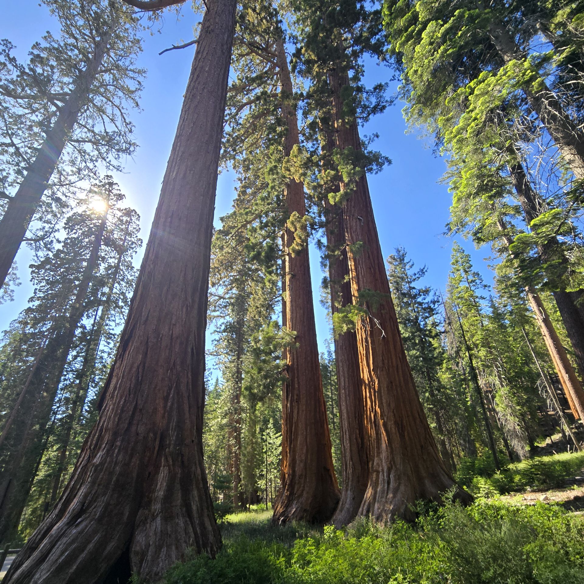
Spent the day w my daughter doing some hiking in yosemite

- 177 replies
-
- 11
-

-
Rainy where? South of Fredericksburg?
-
56 imby. 32 at canaan nwr.
-
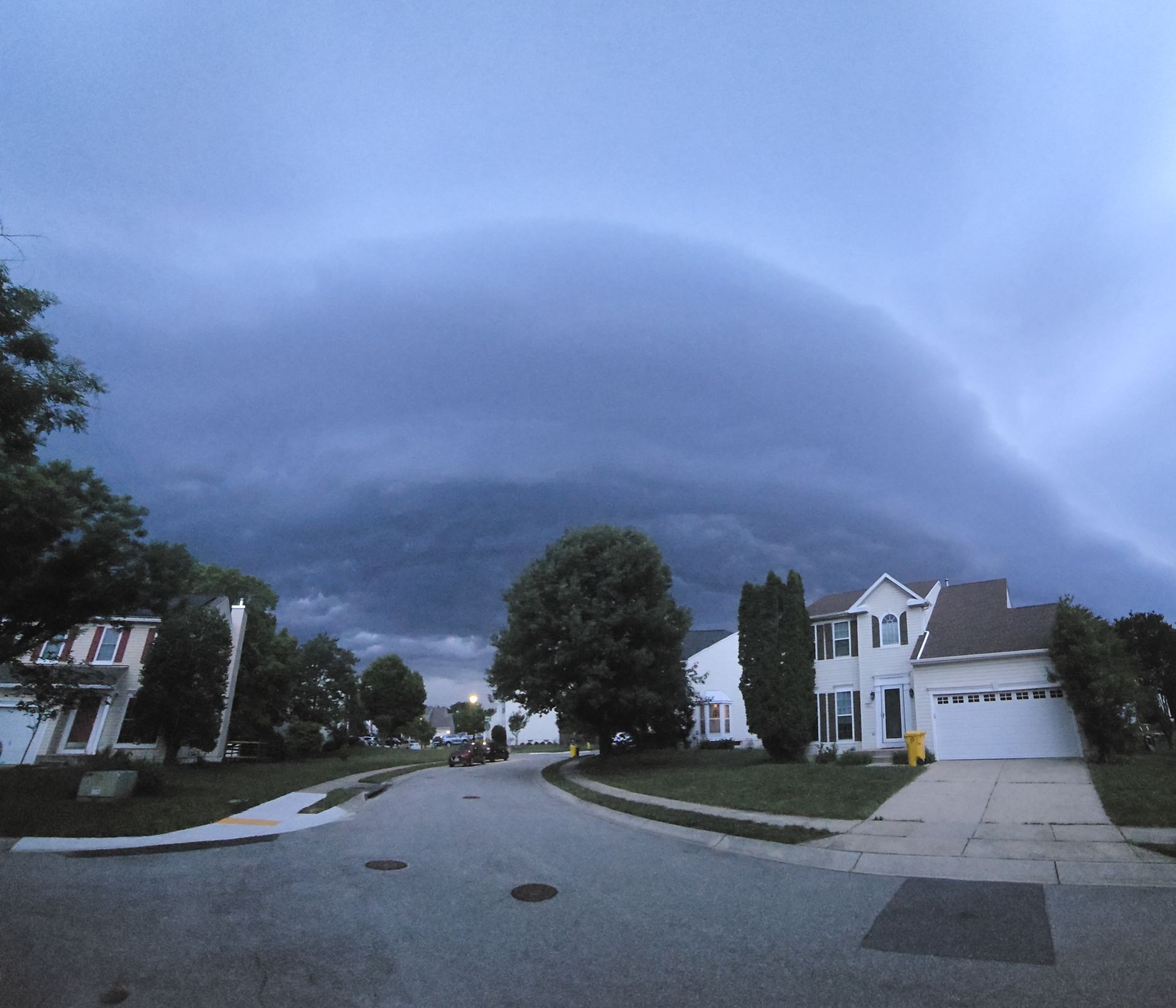
Thats quite the cluster from baltimore up into Lancaster co. Impressive amount of lightning.
-
90 at bwi for the high. On the comfortable day of the weekend lol
-
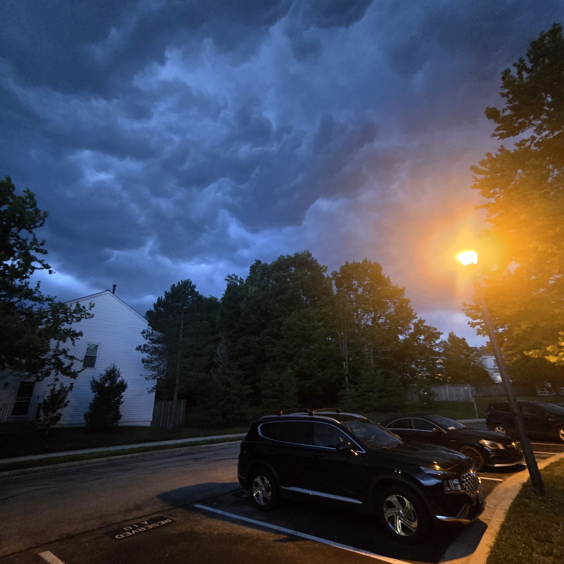
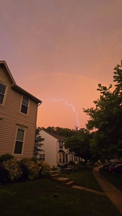
That aa co storm was putting out a healthy amount of lightning.
-

.thumb.jpeg.0d50cefe9231f9fb7f54641a6617cf9a.jpeg)
- 1,011 replies
-
- 5
-
-
- severe
- thunderstorms
- (and 7 more)
-
- 1,011 replies
-
- 15
-
-

-
- severe
- thunderstorms
- (and 7 more)
-

- 1,011 replies
-
- 4
-
-
- severe
- thunderstorms
- (and 7 more)
-

- 1,011 replies
-
- 9
-
-
-
- severe
- thunderstorms
- (and 7 more)


.jpeg.57581dea66ad583019cd39e68e5a1d07.jpeg)