michsnowfreak
-
Posts
18,396 -
Joined
-
Last visited
Content Type
Profiles
Blogs
Forums
American Weather
Media Demo
Store
Gallery
Everything posted by michsnowfreak
-

Winter 2025-26 Medium/Long Range Discussion
michsnowfreak replied to michsnowfreak's topic in Lakes/Ohio Valley
AI Euro has done decent this winter. But get ready for plenty of model waffling this week. -
2026-2027 Super El Nino
michsnowfreak replied to Stormchaserchuck1's topic in Weather Forecasting and Discussion
The warmth has been crazy all winter out West. Glad its not here though. Detroit hasn't had a warmer than avg month since October. -
2026-2027 Super El Nino
michsnowfreak replied to Stormchaserchuck1's topic in Weather Forecasting and Discussion
The ensembles go to day 16 and its cold in the Great Lakes and east coast -
Winter 2025-26 Medium/Long Range Discussion
michsnowfreak replied to michsnowfreak's topic in Lakes/Ohio Valley
Signal remains strong...but still a week out -
Your last line actually makes sense (this is not the mlb forum ). It would be interesting to see who are just snow lovers, who are winter lovers, and who are both. Because there absolutely are three groups. In the Lakes subforum I know who's who but dont call em out. Im all 3. It can snow to the end of April but thats not winter. I generally think of winter as mid november to mid March. Even though march averages more snow than November, November absolutely seems like the more wintry month here lately.
-
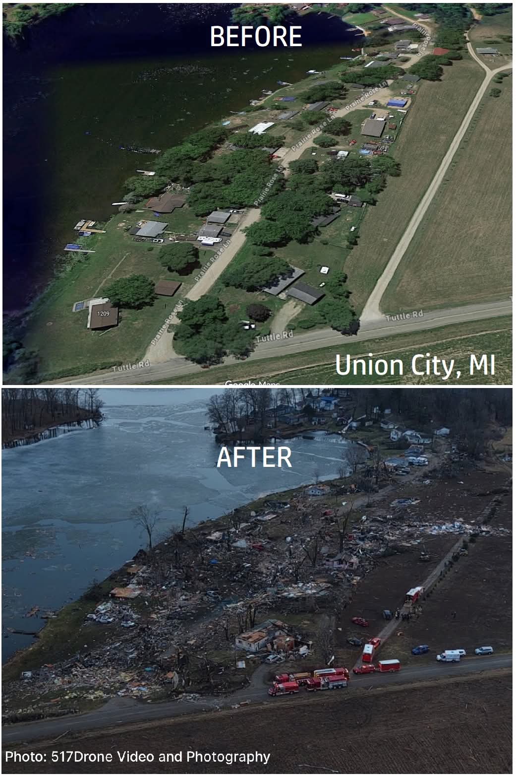
Confirmed. With 4 fatalities it was the deadliest Michigan tornado since May 1980. I think lack of warning hurt.
-
Yup. I get them every spring lol.
-
The east coast south of boston always struck me as a feast/famine climate for winter, but nyc really feasted this year after multiple years if famine.
-
A crop of baby bunnies will appear in your yard soon.
-
I like the different styles people grade on...but if I had to do a breakdown of the 3 big ones, mine would be near identical to yours: Snowfall- B Cold- A Snowcover- A It was a very good winter, but could've gotten a bit more snowfall (and of course still probably will). Cold/snowcover were fantastic. We are not the feast/famine climate of the east coast. This easily seemed like an A+ winter there after a slew of D/F's. But here we always manage to get multiple snows in even the mildest winters, so i place a heavy emphasis on cold/snowcover and not just the final snowfall number.
-
Not sure if its AI or just a summer picture from elsewhere, but definitely not the Michigan tornado. Reported to be Michigan's deadliest tornado (4 fatalities) since 1980. Ill take more snow. Most are tired of winter, not me lol.

-
Awful.
-
DTW got down to 1/8 as well.
-
https://x.com/NickKrasz_Wx/status/2030051360670937334?app=coremodule=systemcontroller=embedurl=https://twitter.com/i/status/2030051360670937334 If you watch the high quality video on her Facebook. Around the 50 second mark you can see the tornado Crack the ice and waves shoot up
-
Incredible footage but so sad. I hear there's 3-4 fatalities. Someone said Michigan's deadliest tornado since may 1980.
-
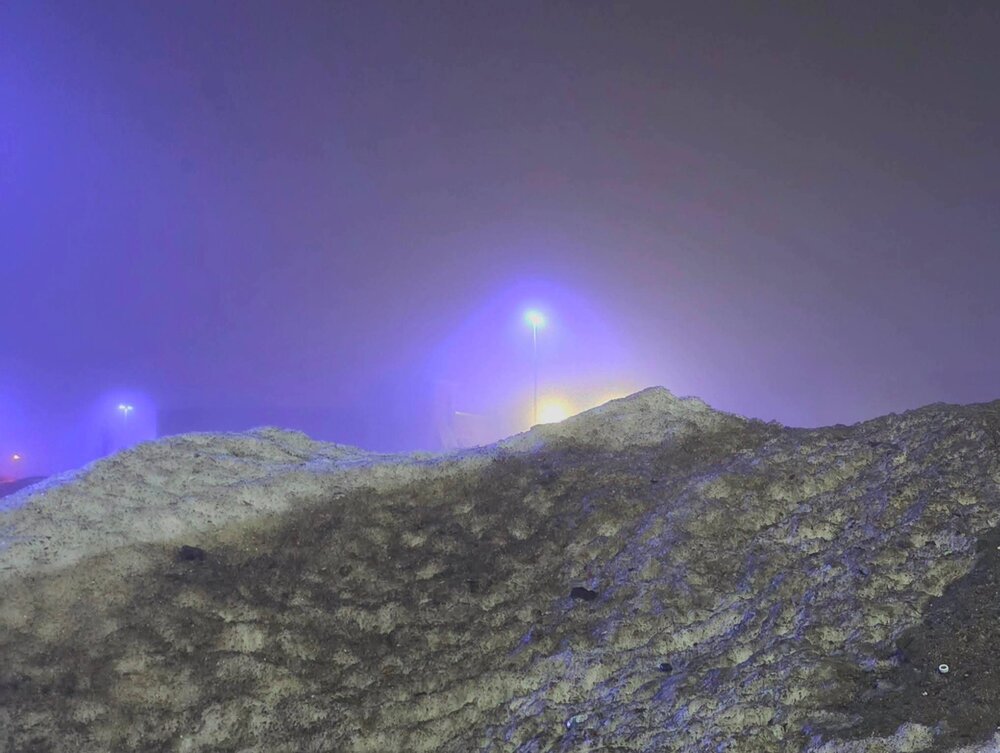
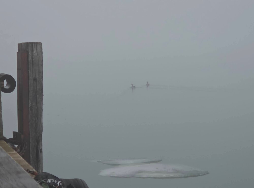
Tonights fog shroud looked eerie against the old snow piles in this mall parking lot.
-
Wyandotte, MI. I usually dont grade until April but likely grade will be: B+ Snowfall to date is 39.8", which is a few inches shy of annual 43" average (but again, we average snow into April). Snowfall was frequent (esp Dec-Jan) but no huge storms, the two largest being 6.2" & 5.2". Snowcover was fantastic. From late November through the 3rd week of February, the ground was blanketed in snow nearly continuously with exception of 2 brief thaws (christmas week & 2nd week of Jan). Until melting the 2nd week of Feb, the snow was usually fresh and glittery. Cold was excellent. Ice thick on the lakes. 2nd colder than avg winter in a row, but this year much more than last. November and February finished slightly colder than avg, December and January solidly colder than avg. The quiet Feb (a boring month saved by snowcover) and mild bare start to march is what keeps it out of A- territory for now.
-
2025-2026 ENSO
michsnowfreak replied to 40/70 Benchmark's topic in Weather Forecasting and Discussion
Yes. If anything, I've seen time and time again this winter modeled warmups or cold breaking down get muted once it gets closer in time from Michigan eastward. The warm west/cold east pattern has dominated since November, so will be interesting to see if its more of the same in late March. Regarding the cold shots, euro and gem continue to be much colder then the gfs. -
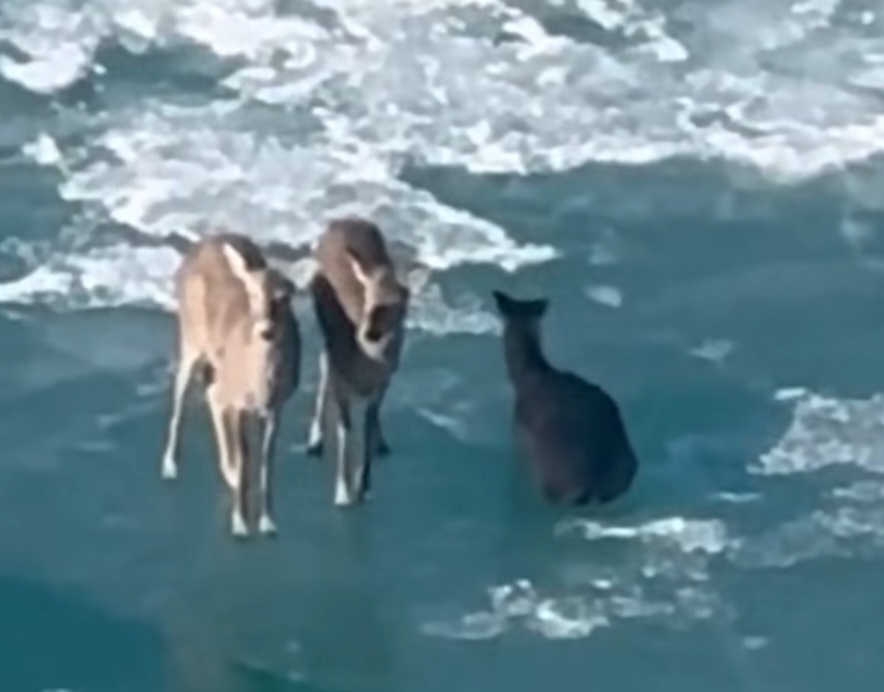
Thought this was wild from the other day. 3 deer floating on the ice between Detroit and Windsor.
-
2025-2026 ENSO
michsnowfreak replied to 40/70 Benchmark's topic in Weather Forecasting and Discussion
I wouldnt necessarily call it a transient "cool down". Transient yes, but there look to be some significant cold departures during it. -
Winter 2025-26 Medium/Long Range Discussion
michsnowfreak replied to michsnowfreak's topic in Lakes/Ohio Valley
March 15-17 timeframe is being picked up by all ensembles for a wintry threat. -
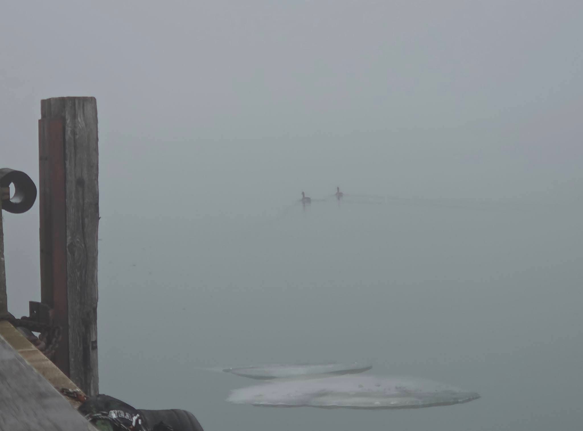
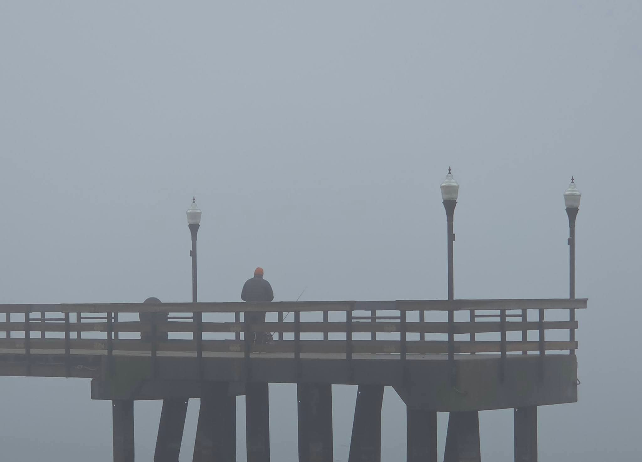
Murky fog here

-
Winter 2025-26 Medium/Long Range Discussion
michsnowfreak replied to michsnowfreak's topic in Lakes/Ohio Valley
Ensembles look active as it gets colder. Watch Mar 16-20 period for potential. -
What goes up must come down. The region saw a slew of unusually snowy winters in the 2000s-10s. Many areas of the Great Lakes and northeast saw their snowiest decade on record in the 2010s. It was an unrealistic pace that came down. Avg annual snowfall at Detroit is around 43". The past 10 years averaged 39.1" but the previous 10 years 53.3". Avg annual snowfall at Chicago is around 37". The past 10 years averaged 31.9" but the previous 10 years 46.9".
-
Absolutely ebbs and flows. Its just how the weather goes. Its VERY rare to get continuous action all winter long, and Chicago had a fairly snowy Nov, Dec, & Jan. Imagine how it is on the east coast when snowfall is even far less frequent, and not knowing how many years til the next big noreaster. 1890-91: Chicagos snow depth on Jan 5th was 1"...they wouldnt see that again until 4.7" of snow hit March 2nd. 1930-31: Chicago had a dry winter with very little snowfall. The snow depth never exceeded 1" through February. In fact, after a snow depth of 1" on Jan 21st, Chicago would see bare ground (few days of T depth) until March 7th when a 16.2" snowstorm belted them. 1991-92: February saw no snow on the ground, but a 8.8" snowstorm hit Chicago March 21st. 2016-17: Jan-Feb combined for just 0.6" of snow at Chicago. No days had 1"+ snowcover from Dec 26 until March 13th, when a 7.3" snowstorm hit. Theres many more similar examples.