wxeyeNH
-
Posts
9,794 -
Joined
-
Last visited
Content Type
Profiles
Blogs
Forums
American Weather
Media Demo
Store
Gallery
Everything posted by wxeyeNH
-
The same up here in my area of Central NH. Powerful gusts in the 40s a bit earlier. Now a lull before the CF. Loosing our snowcover rapidly! 51.4F
-

December 14th - Snow showers or Plowable snow?
wxeyeNH replied to Sey-Mour Snow's topic in New England
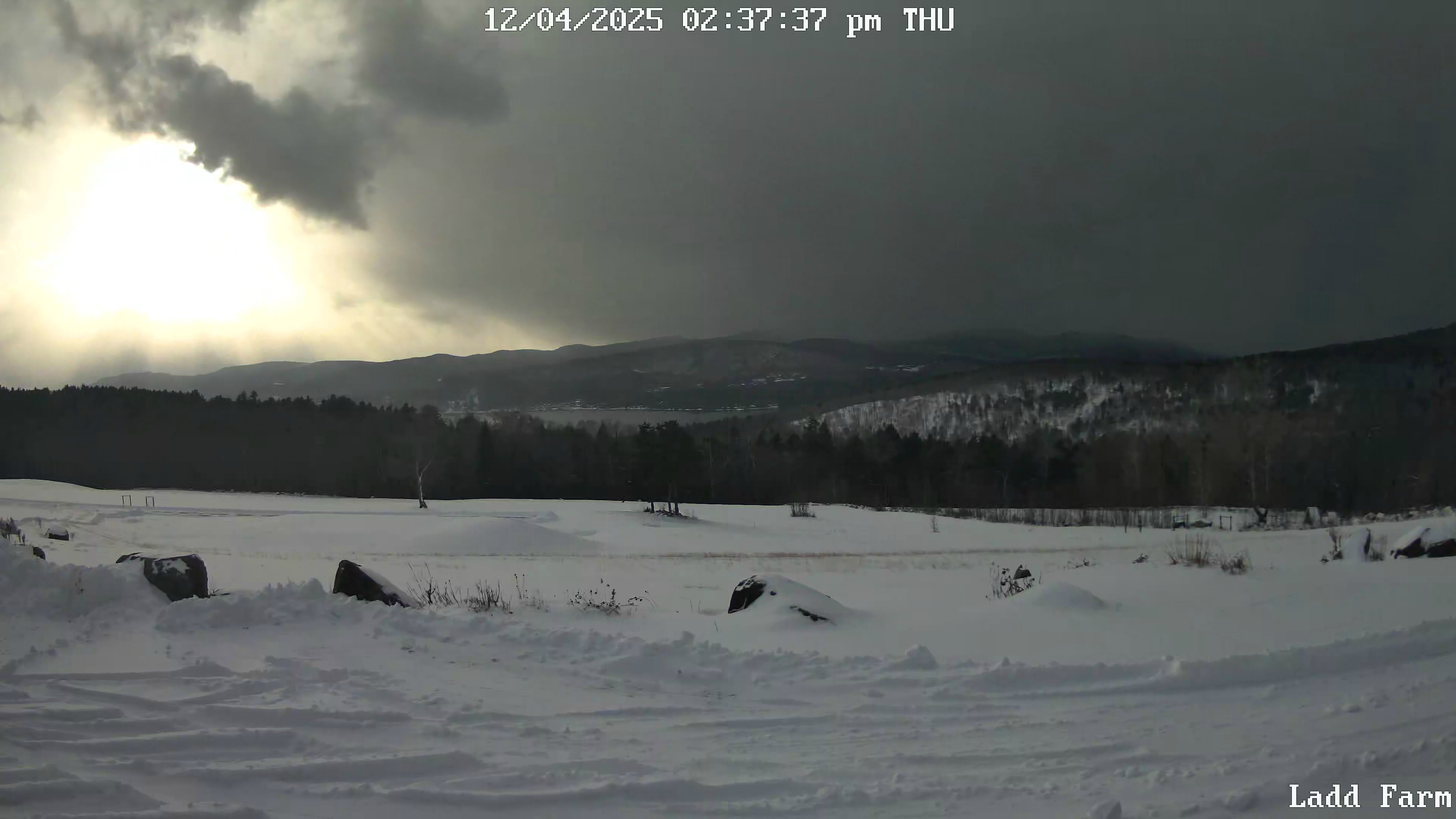
23.6F Light to moderate snow. Vis about 1/2 miles. Snow growth was poor most of the morning but intensity and snow growth has increased significantly the past 30 minutes. About 1.25" fluff -
Brian, I was paying more attention to the snow squalls vs how cold this air mass is. It seems like last night's cold over preformed. Was that true? 0F here but snowcover must helped.
-
It might have been 1989. I had just bought my fixer-upper house up here but lived in Boston. I had something called a Climate talker. It was hooked up to my phone line and I could call long distance and get the outside temperature. I believe it was below zero about 12 nights in that December. When winters used to be real.
-
Extreme snow squall in progress. Captured this image from my neighbor's webcam. Right now vis is 1/16th of a mile. When I can't see the other side of my pasture we know that heavy rates are happening.

-
Here too. Happy Holiday season to you guys and the kids!
-
The have's and have nots....

-
No wind, powdery snow. Easy pessy! 6.75"
-
25.1F Light snow. 5.5"
-
25F Moderate snow Vis est 3/4 miles. Better snow growth than earlier. About 4" fluff
-
24.2F Light snow. Vis est 3/4 mile. About 2" new
-
20.2F Light snow vis 1 mile. Poor snow growth. Expecting maybe 7 or 8?
-
30.2F Light snow 1" Vis est 1.5 miles
-
28.2F Light snow. Maybe 1/3" of dry snow
-
November 2025 general discussions and probable topic derailings ...
wxeyeNH replied to Typhoon Tip's topic in New England
31.9F Light snow vis 1.5 miles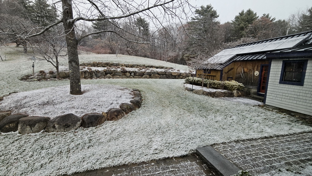
-
November 2025 general discussions and probable topic derailings ...
wxeyeNH replied to Typhoon Tip's topic in New England
33.9F Light snow. Vis about 1 mile -
November 2025 general discussions and probable topic derailings ...
wxeyeNH replied to Typhoon Tip's topic in New England
31.9F sleet -
November 2025 general discussions and probable topic derailings ...
wxeyeNH replied to Typhoon Tip's topic in New England
31.5/23F With these temperatures, I don't see any rain for the vast majority of this system. Maybe lots of sleet or freezing rain but CAD at the surface almost always wins. Snow at the begining, IDK? -
Brian, I just saw this post. Sorry. I would have not been able to have helped you anyhow, as i don't know any rehab people. I hate to see animals suffer. Last month I had to drive to PA and on the interstate a hawk flew right in front of the car into the grill. I still think about that.
-
Mood flakes yesterday and light snow the past 3 hours around 33F. Still waiting for our first trace. We did have a dusting in shaded areas for about an hour yesterday before sublimation. Does that count?
-
Clouds will be the problem over the next 48 hours especially in Central and NNE.
-
November 2025 general discussions and probable topic derailings ...
wxeyeNH replied to Typhoon Tip's topic in New England
33.9F Moderate catpaws -
November 2025 general discussions and probable topic derailings ...
wxeyeNH replied to Typhoon Tip's topic in New England
33.6F Light rain mixed with mangled flakes. No sleet just rain and a few parachutes. -
November 2025 general discussions and probable topic derailings ...
wxeyeNH replied to Typhoon Tip's topic in New England
Well it was definitely pretty large ice pellets. I didn't see any lightning or hear thunder and really didn't look at radar closely so I wasn't sure but now that I see Alex had a thunderstorm it was definitely convective -
November 2025 general discussions and probable topic derailings ...
wxeyeNH replied to Typhoon Tip's topic in New England
47F Just had a quick heavy shower with lots of sleet.