wxeyeNH
-
Posts
9,809 -
Joined
-
Last visited
Content Type
Profiles
Blogs
Forums
American Weather
Media Demo
Store
Gallery
Everything posted by wxeyeNH
-
I'm 3 miles to your north. 63F with moderate rain. About .50" so far
-
39.1F Moderate rain with the first catpaws mixing in. Of course no one would me would ever know it but the car windshield reveals they are there.
-
39.6F Light to moderate rain. Looking for catpaws. None yet.
-
42.8F Light rain. On May 25 2012 I recorded 3.1" of thundersnow within about a 2 hour period. I believe the temperature was 33F during that event. That was the latest snow I have recorded. We will not repeat that tonight but at my elevation of 1100 feet it will be interesting to see if I can manage some mangled flakes. Any guesses? What do you think Brian?
-
43.8F Light rain. Not bad for 5pm 5/19
-
What a great storm. Best in 2 years. 1.52" in a very short time. Max rain rate was 6.25". Highest wind gust was 31mph but I'm sheltered now with leaf out. No hail.
-
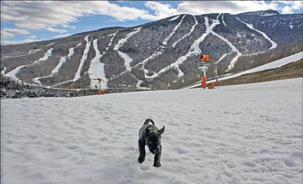
Scott, this picture came up on my Facebook "remember" feed. 10 years ago this week. I remember that this picture made me happy. How time flies! Gene
-
The last of yesterday's 3.75" of snow is almost gone. There is still some older snow in the woods and snow piles. I think this season is about a wrap. I ended with 88" of snow. Somehow I eeked out a slightly above snowfall year. Elevation makes such a difference. Anyhow the lawn is still brown but I had to drive to Pennsylvania a couple of days ago. It was nice to see the forsythia blooming in Massachusetts and the Norway maples in bud in Connecticut while it was true spring past NYC area.
-
33.1F Moderate to heavy snow. 2"
-
31.8F Light to moderate snow
-
31.5F Moderate snow 1/2"
-
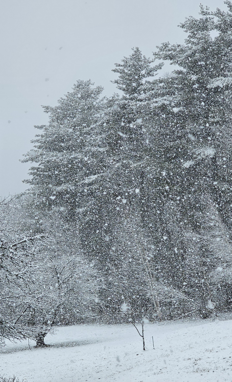
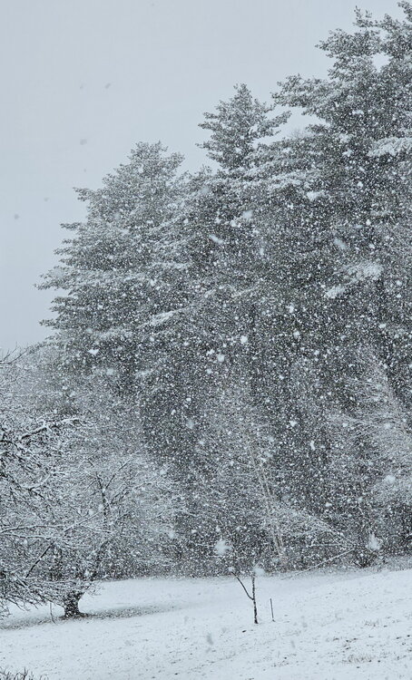
30.4F Vis 1 mile light snow. Snow started an hour ago and the ground is getting white
-
Another CAD win day. High was 37F. Stuck at 36F now. We had about 1/2" of snow and sleet last night. Still lots of snow to be found in the woods. Awaiting the first green grass.
-
33.9F Light snow
-
38.5/10F How much snow, sleet or freezing rain?
-
The ice is melting off all the trees at once with rising temperatures. I have never experienced something quite like this. A constant ice crystal roar in the woods. My phone's little mic probably didn't fully pick up the roar coming from every direction but it is like a sound I have never quite heard. ( No precipitation was falling when I recorded this)
-
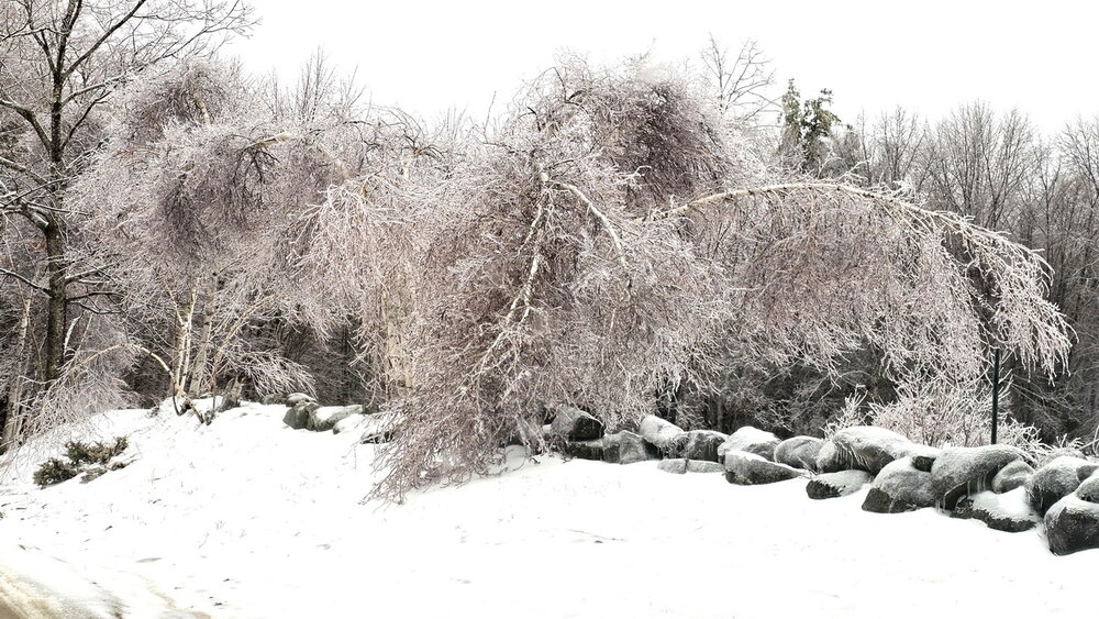
Finally above freezing 32.6F Birch bender or Birch destroyer? Amazing we have power.
-
31.7F Moderate freezing rain. Tree damage is begining to occur. We have yet to go above 32.0F
-
31.1F cloudy. High was 32.0F Ice on the trees are continuing to slowly increase with periods of freezing drizzle and light snow today. Any more freezing rain tonight will start causing tree problems.

-
31.9F Light snow. We have had snow grains all day but now the flakage is big enough to call it bonafide light snow. The ice on the trees continues to slowly increase and the snow is sticking to the ice with temps around 32F. Will be drop a few tenths of a degree as we lose solar insulation or will the slowly warming atmosphere win out before the heavier stuff arrives?
-
31.2F Snow grains This temperature is the highest since when the first snow began the other night. I am surprised that the light freezing drizzle has turned into SG. It's giving all the ice on the trees a very frosty appeal.
-
Good Morning 30.2F cloudy The freezing rain stopped just in time to prevent any power issues (so far). It's a birch bender for sure but it could have been much worse. Temperatures last night were stuck around 29.8F or so. We will escape this system as long as it can warm up to 32.5F or above before tonight's last batch. I don't know if that will happen or not.
-
29.2F awaiting the precip line to move north. Ice is everywhere
-
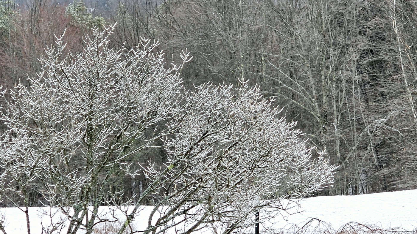
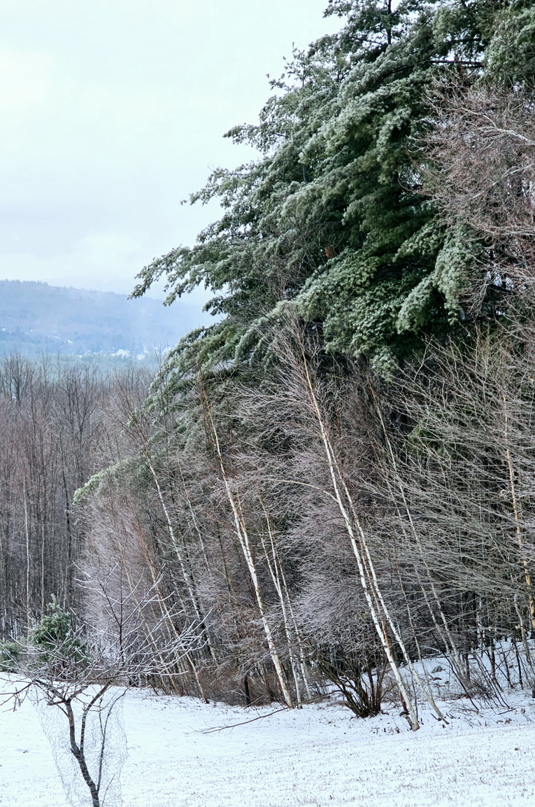
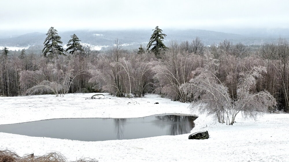
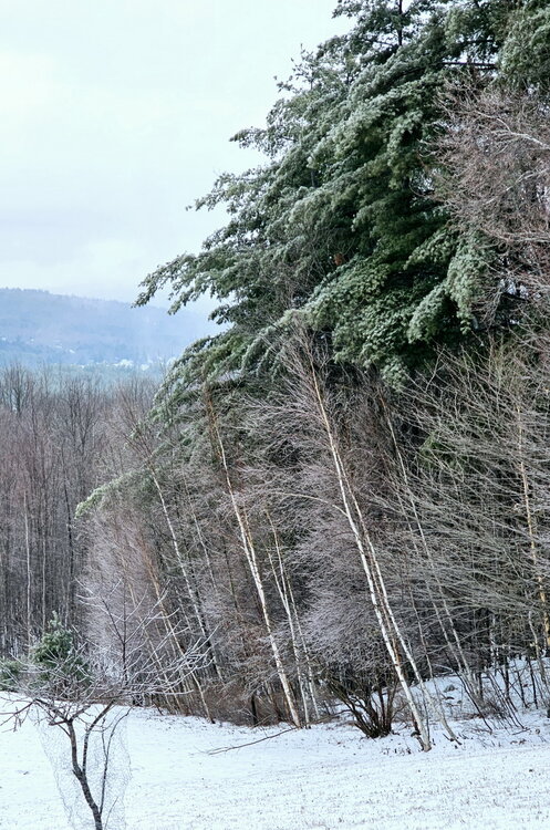
29.6F Nothing falling at the moment. My daytime high was 30.1F. Most of our precipitation was snow last night and sleet this morning, mixed with quite a bit of freezing rain late morning and midday. So the ice accretion is still on the trees and has not dripped off. The ice accumulations seem to start around my elevation of 1100 feet. The trees down below me seem mostly ice free. Below are 2 photos. The White Pines are drooping a little but no big deal. It will be interesting to see what happens with the next round of precipitation. I'm glad last night's couple of inches of snow was dry enough that it did not cling to branches.

-
29.9F Freezing rain. Ground is white and trees are coated. White pines are saggy but not too bad. Glad the first batch was mostly frozen.