

Baum
-
Posts
4,523 -
Joined
-
Last visited
Content Type
Profiles
Blogs
Forums
American Weather
Media Demo
Store
Gallery
Everything posted by Baum
-
might be a good thing. Had my driveway newly repaved. Worried with too much heat it'll catch fire.
-
Yep. Spent many a summer there. Still, used to get those in these parts as well.
-
What happend to the concept of a brief afternoon thundershower on a steamy, hot, summer day emanating from a towering cumulo-nimbus with steam rising from the streets in it's wake?
-
it hit 90? didn't feel like it. That early season high heat raised the bar. Actually, felt pleasant out there.
-
hate to say it. but palms thrive in that stuff.
-
Beautiful weather week incoming. I'm ready for it after the periodic cloudy wet periods we've had over the past 10 days or so.
-
not a drop
-
if this was a snowstorm I'd be jipped out of 2-3 inches already. Keeps dying on my doorstep.
-
just what the doctor ordered
-
fingers crossed.
-
Basically, the wet period didn't make a dent for most. Anyone got a map f area totals since July 4. And now it sounds like back to hot and dry.
-

2022 Short/Medium Range Severe Weather Discussion
Baum replied to Chicago Storm's topic in Lakes/Ohio Valley
That does it I'm cancelling my BAM WX subscription. -
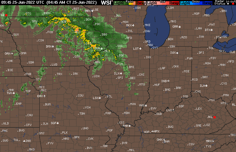
morning update: "Lightning flashed ; thunder roared ; the wind howled ; rain fell in torrents"
-
yeah, sort of my thoughts as well.
-
should I water the flowers? Was hoping for a good soaking, but the board optimism seems to waning a bit.
-
was moreso referring to how complicated and difficult it is to time these storm clusters even more than 6 -8 hrs out. And sure enough LOT alluded to it in this mornings AFD " AS PREVIOUSLY MENTIONED, THERE IS LITTLE SKILL IN FORECAST TRACK AND TIMING OF THE INDIVIDUAL CONVECTIVELY ENHANCED VORT PIVOTING AROUND THE UPPER RIDGE." looks like a busy next week from here so it'll be interesting to see how it pans out. Finally caved and rolled out the sprinkler yesterday in an effort to save the lawn.
-
convection just toys with forecasters. Looks like were staying dry.
-
I feel this was targeted at me.
-
please make it........
-
How fast things change. Could sure use a meandering upper level low traversing the region with cool and showers. Of course, pretty much passed the time of year where those occur.
-
What's the word on rainfall on Saturday? LOT sounded a bit more bullish this morning in their AFD.
-
yup. I'm really hoping for a good soaker saturday.
-
Hoosier gone dark. Praying, most likely.
-
" VERY DRY AIR ALONG AND NEAR THE BASE OF THE TROUGH WILL KEEP THE RAIN AWAY FOR THE START OF NEXT WEEK. " DOOM
-
98 gonna be the number at ORD.

