stormy
-
Posts
2,106 -
Joined
-
Last visited
Content Type
Profiles
Blogs
Forums
American Weather
Media Demo
Store
Gallery
Everything posted by stormy
-
The "is it ever going to rain again?" discussion.
stormy replied to JenkinsJinkies's topic in Mid Atlantic
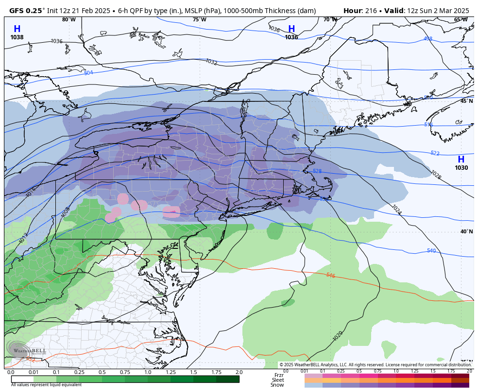
Recurring drought conditions have been a problem in the Valley for the past 5 years. Last year ended 1.89" above normal because of a very wet August and September but this is deceiving because most of the year was very dry with moderate to severe drought conditions. The last really wet year was 2020. So far in 2025 the first 75 days finds me .19" below normal. Regarding rain for most of next week, the GFS/ECM predicts a weekly total of .86" for my location. The normal rainfall is .87". -
This backdoor maritime air is almost unbelievable. I observed a 25 degree differential in 5 miles from 78 to 54 this morning.
-
A wonderful reality after a harsh winter. 4 degrees cooler than normal qualified. After a harsh winter, spring usually co-operates. Great majority of the time.
-
55 here and 45 at D.C. is quite unusual for 2 pm.
-
Finally a morning above freezing at 35. Yesterday was 26.
-
24.8 this morning
-
There have been 7 analog Nina winters back to 1955. Augusta County average total snowfall for these winters has been 9.9 inches. The snowiest was 24.5 in 1964-65. 17.7 inches this winter was number 2 and gives it a B+ in total snowfall for a Nina. Temperature departure made it a cold winter. 45 year average annual is 24 inches. It gets a C- in this department.
-
63 years ago today. 24 - 36 inches of snow in the Valley. 42 inches at Big Meadows. 3 inches at D.C.
-
1.04" rain and a peak wind of 30 mph today.
-
.71", rain over with blue sky to the west.
-
12.9 at 5:15. The record low since 1893 at Staunton was 6 in 2009. March 3, 2009 I had 1 degree with 5 inches of fresh snow.
-
15.1 this morning. This reminds of 1967 when it was 14.
-
I had a gust to 33 mph at 9:48..... 56 degrees, 32 at Spruce Knob, 22 at Mt Washington, 36 at Mt. Mitchell.
-
When you have the answer why a large section of our region has been in a drought for the past year or more regarding precipitation and it continues, you will have an answer, regarding WHY.
-
So much speculation on March snow or no snow. Lets revisit March 1960 at Charlottesville and Harrisonburg. Charlottesville first: March 3 .... 12 " snow, March 10.... 3.5" snow, March 16..... 5.0 " snow, March 17...... 8.5" snow.......... Total 29 inches Harrisonburg: March 3 .... 9" snow, March 10 ...... 6" snow, March 16.... 12" snow, March 17....... 1" snow............ Total 28 inches
-
10 degrees this morning! Normal low is 27.
-
-
Drought doesn't encourage snow
-
I agree, March usually produces big totals, especially at Spruce Knob.
-
Another .35" snow this morning, 7 - 9. Roads covered again . 16 degrees
-
1.8 inches. This would have likely been 1 inch at 10:1. 18 degrees kicked in 20:1 Kuchera.
-
It is very rare for the summit of Spruce Knob to have nearly the same temperature as my weather station at 1 pm but today is the exception. 17.2 my place, 16.9 Spruce Knob.
-
1.25 inches at 12:20 with 17.4 degrees.
-
light snow and 16.0. 3/8 inch since 7 am. These temperatures will encourage 20:1 ratios.
-
You are off by 24 hrs!