

SolidIcewx
-
Posts
1,647 -
Joined
-
Last visited
Content Type
Profiles
Blogs
Forums
American Weather
Media Demo
Store
Gallery
Everything posted by SolidIcewx
-

Big Heat (and storms?) Week into July 4th Weekend
SolidIcewx replied to yoda's topic in Mid Atlantic
104 on my porch. Had a beer and got too warm. I wonder how warm it’s gonna be tonight. Breaking a record warm low perhaps? -
Big Heat (and storms?) Week into July 4th Weekend
SolidIcewx replied to yoda's topic in Mid Atlantic
-
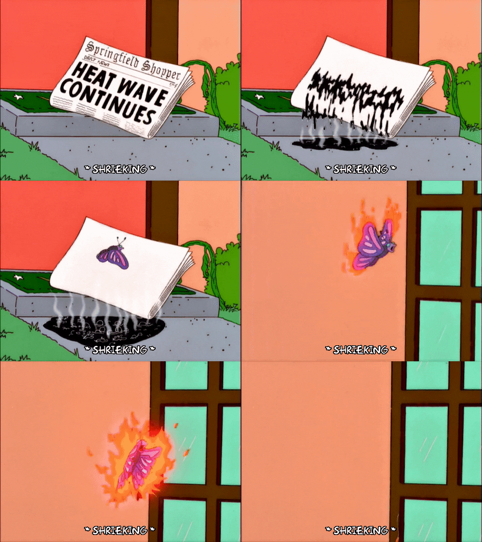
Sweating more than bonnie blue sitting in a catholic church..
-
Big Heat (and storms?) Week into July 4th Weekend
SolidIcewx replied to yoda's topic in Mid Atlantic
101/74/115 at home in far southern Alexandria -
Big Heat (and storms?) Week into July 4th Weekend
SolidIcewx replied to yoda's topic in Mid Atlantic
97 and HI of 111 now -
Big Heat (and storms?) Week into July 4th Weekend
SolidIcewx replied to yoda's topic in Mid Atlantic
Just north of there working. Can confirm. Its cooking and im already soaked lol -
Big Heat (and storms?) Week into July 4th Weekend
SolidIcewx replied to yoda's topic in Mid Atlantic
89/76/100 outside of Laurel MD. Today and tomorrow gonna be a special one -
Big Heat (and storms?) Week into July 4th Weekend
SolidIcewx replied to yoda's topic in Mid Atlantic
86/76/96 where i am. I think a lot of us will be 90 by 10-1030. -
Big Heat (and storms?) Week into July 4th Weekend
SolidIcewx replied to yoda's topic in Mid Atlantic
98/75/112 at home in south Alexandria. Pool time -
Big Heat (and storms?) Week into July 4th Weekend
SolidIcewx replied to yoda's topic in Mid Atlantic
96/76/109 currently now. I felt the dews creep up the past hour. -
Big Heat (and storms?) Week into July 4th Weekend
SolidIcewx replied to yoda's topic in Mid Atlantic
93/74/103 where im working -
84/70/89 at 930 here just outside of Laurel
-
Big Heat (and storms?) Week into July 4th Weekend
SolidIcewx replied to yoda's topic in Mid Atlantic
Its been a little over a week since solstice I wouldn’t think that would have an impact currently. August perhaps. -
2026 Mid-Atlantic Severe Storm General Discussion
SolidIcewx replied to Kmlwx's topic in Mid Atlantic
Makes me sad knowing Sudbury Ontario is getting better MCV’s than us all the way down here -
Big Heat (and storms?) Week into July 4th Weekend
SolidIcewx replied to yoda's topic in Mid Atlantic
As a Utility worker and weather enthusiast i’m actually excited to feel these high temps. Back home hottest day I think i have experienced was 101 with an index of 115 back in 2012. -
Big Heat (and storms?) Week into July 4th Weekend
SolidIcewx replied to yoda's topic in Mid Atlantic
I work Utility and definitely not looking forward to Wednesday and Thursday. Glad to have Friday and the weekend off. -
Been pretty consistent since tuesday for the possibility of 100. Hopefully we can get a good ridge rider out of it
-
My part of Alexandria is forecasted for 104 also on thursday. Outside work is about to be brutal.
-
What do you think the chances are this coming week? Seeing a couple models hint at it and then point and click has been consistent since earlier on Wednesday. At least for Alexandria and into PG where i work.
-
Need the remnants of a tropical system at this point
-
Triple digits next week?
-
2026 Mid-Atlantic Severe Storm General Discussion
SolidIcewx replied to Kmlwx's topic in Mid Atlantic
I hear constant rumbling from that storm to my NW here in south Alexandria -
I would be down for that. Give me some good thunder for awhile.
-
2026 Mid-Atlantic Severe Storm General Discussion
SolidIcewx replied to Kmlwx's topic in Mid Atlantic
Surprised myself. We will see if it holds together. At least shear is higher -
How many tornadoes this year now in Illinois?

