MN Transplant
-
Posts
17,845 -
Joined
-
Last visited
Content Type
Profiles
Blogs
Forums
American Weather
Media Demo
Store
Gallery
Everything posted by MN Transplant
-
Watching a lot of people outside my office window getting soaked. The few with umbrellas aren’t faring much better with the moderate gusts.
-
Quarter inch of rain and no wind, but good T&L makes it a nice stormy evening.
- 1,696 replies
-
- 2
-

-
- severe
- thunderstorms
- (and 5 more)
-
Good thunder
- 1,696 replies
-
- 2
-
-
- severe
- thunderstorms
- (and 5 more)
-
NCAR is running FV3 and MPAS-based ensembles for NOAA/NSSL's Spring Hazardous Weather Testbed https://ensemble.ucar.edu/ Neither are overly excited about Monday.
- 1,696 replies
-
- 1
-

-
- severe
- thunderstorms
- (and 5 more)
-
Highest DP since last Sept on my station.
-
T’Wolves! What a comeback.
-
Still going
-
Just a miserable day. Stopped for about an hour after the primary shield went through, but it filled back in and has been raining since 10am. 0.48”
-
I'm running 3rd of 11 years in precip-to-date via CoCoRahs.
-
It's the weekend problem. The longwave pattern has sent troughs through us on so many weekends this Spring.
-
It has been above normal every month. There have been a number of murky, chilly days, but it has been warm overall.
-
I ended up circling around between I-81 and the WV border, but the clouds came back and I packed it in by 11:30pm. This was like going on a tornado chase and seeing a nice rotating wall cloud. Cool to see, but not really the show you wanted.
-
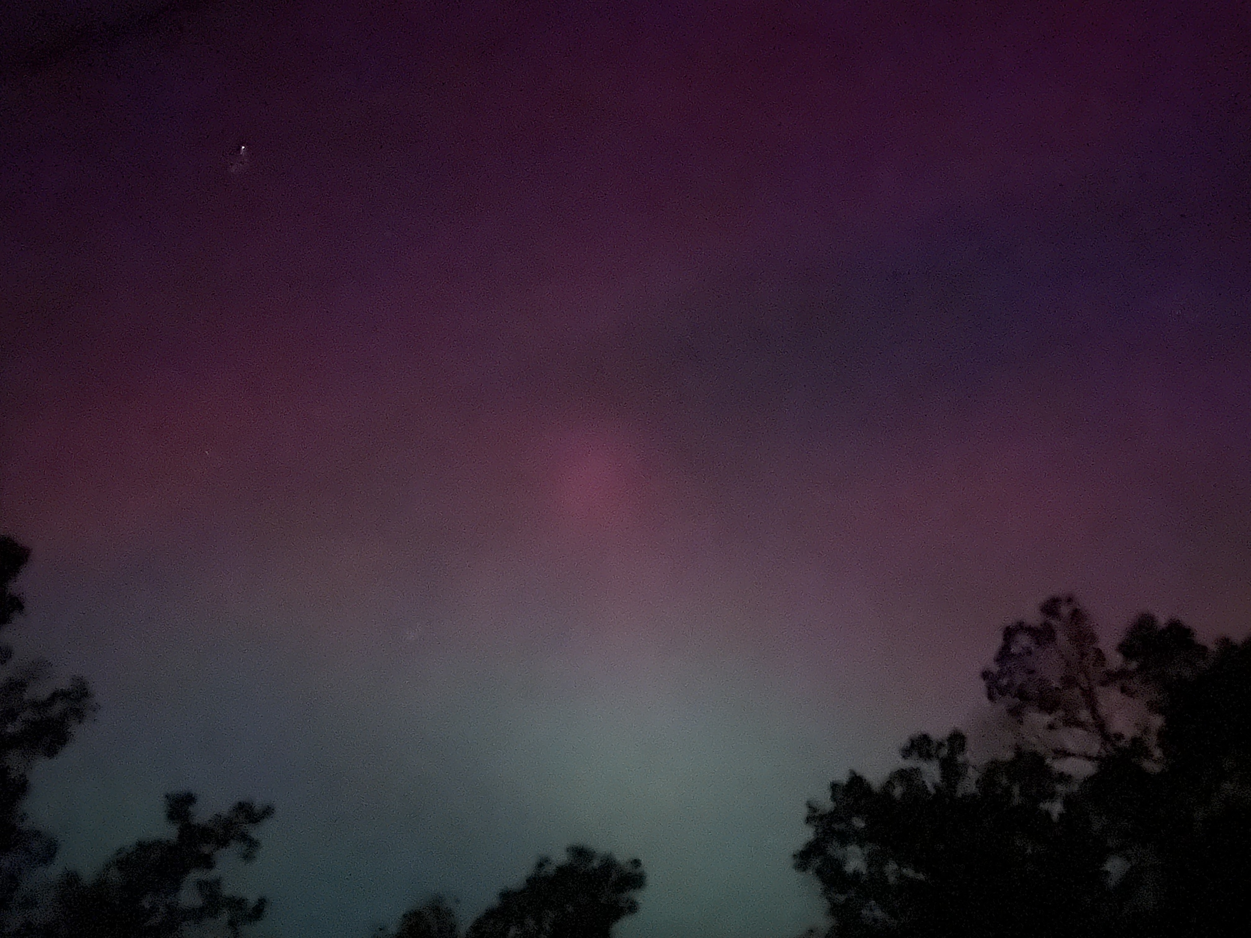
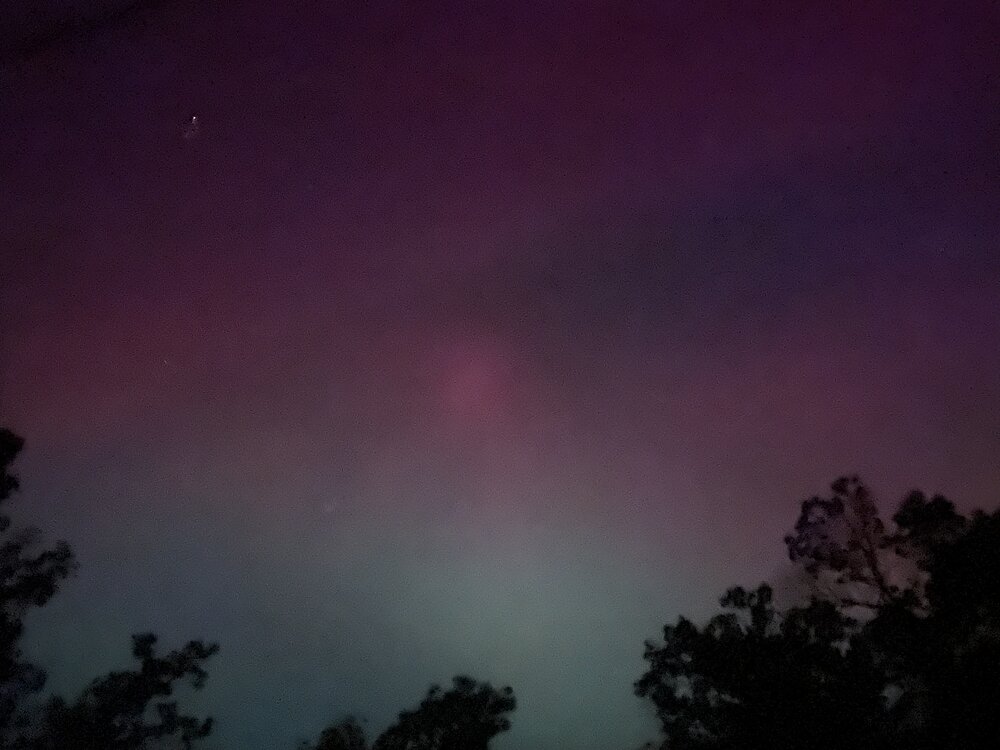
Ok, I’m just west of Strasburg and there is absolutely a reddish tint to the sky, but my phone is exaggerating it.
-
I might just hit 66 and go west just in case. Can listen the Wolves game.
-
87/88 at DCA.
-
The 6am supercell over my house on the 12z 3k would be fun.
- 1,696 replies
-
- 2
-
-
- severe
- thunderstorms
- (and 5 more)
-
Severe Weather 5-6 through 5-9-24
MN Transplant replied to cheese007's topic in Central/Western States
Not a surprise that they are warning this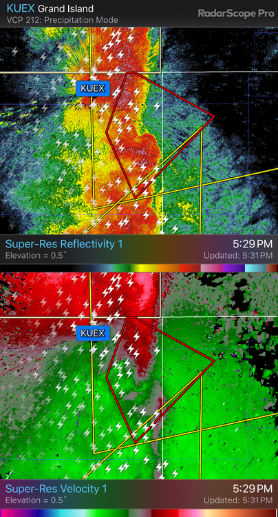
-
0.60" here. Welcome for the top layer of the ground.
-
Fantastic out right now. 71 with filtered sun and a modest breeze.
-
Yeah, the Euro was late to the dreary Saturday party. As of the 00z run it had clouds but still nearing 70.
-
Just got notice that our neighborhood pool is opening on May 11th! I’m not in pool shape yet.
-
Highs so far: BWI: 88 IAD: 87 DCA: 83 It has been over 48 hours since DCA had a wind vector that wasn’t SSW to SE.
-
The Wolves are the state's best chance at a big 4 sports title since the '09 Vikes. They looked great against Phoenix. I don't expect much from the Vikes this upcoming year with Sam Darnold starting, but at least we finally have a young QB to get excited about.
-
Missed it. 89 Record highs at IAD and BWI
-
DCA is just rock solid on that S wind. Will be interesting to see if a 90 squeaked through at some point.