MN Transplant
-
Posts
17,625 -
Joined
-
Last visited
Content Type
Profiles
Blogs
Forums
American Weather
Media Demo
Store
Gallery
Everything posted by MN Transplant
-
93 at IAD, I’ve cracked 95. Pretty disgusting.
-
Historic Pacific Northwest Heatwave of 2021
MN Transplant replied to donsutherland1's topic in Climate Change
Early on, it looks like eyes will be on Pendleton again today. -
Historic Pacific Northwest Heatwave of 2021
MN Transplant replied to donsutherland1's topic in Climate Change
-
Historic Pacific Northwest Heatwave of 2021
MN Transplant replied to donsutherland1's topic in Climate Change
The 5 minute obs are rounded and converted from F to C to F, which makes them problematic to take at face value. They can be a degree off. Actually, I made a thread about it a while ago: -
Historic Pacific Northwest Heatwave of 2021
MN Transplant replied to donsutherland1's topic in Climate Change
Seattle tops out at 107. -
Historic Pacific Northwest Heatwave of 2021
MN Transplant replied to donsutherland1's topic in Climate Change
Some sites have 119 for Oregon in Pendleton in the late 1800s. That might be the record and it may have to wait until tomorrow. -
Historic Pacific Northwest Heatwave of 2021
MN Transplant replied to donsutherland1's topic in Climate Change
Interestingly, while The Dalles is in OR, it looks like the observation is taken across the Columbia River in Washington at the airport. So, that should be a tie for the WA state record. Salem lost a few degrees after a change in wind direction. -
Historic Pacific Northwest Heatwave of 2021
MN Transplant replied to donsutherland1's topic in Climate Change
The state records look like they might fall today. Washington: 118 (1961). Currently 116 or 117 on a downslope wind at The Dalles (KDLS). Oregon: 117 (1939). Currently 116 or 117 at Salem (KSLE). -
Didn’t need to wait.
-
And locally, humidity is gross.
-
Kamloops, BC on the euro is now 108/111/111/112 for today through Wednesday.
-
The Euro is trying to set or tie the all-time record for Canada on Tuesday. Currently 113 from 1937.
-
Both the GFS and Euro are spitting out all-time state records for WA and OR on Tuesday.
-
The heat that the Euro/GFS are spitting out for the pac NW next week is nuts. Might make a run at the state temp record for Washington (118).
-
2021 Mid-Atlantic Severe Weather - General Discussion
MN Transplant replied to Kmlwx's topic in Mid Atlantic
Yup
-
2021 Mid-Atlantic Severe Weather - General Discussion
MN Transplant replied to Kmlwx's topic in Mid Atlantic
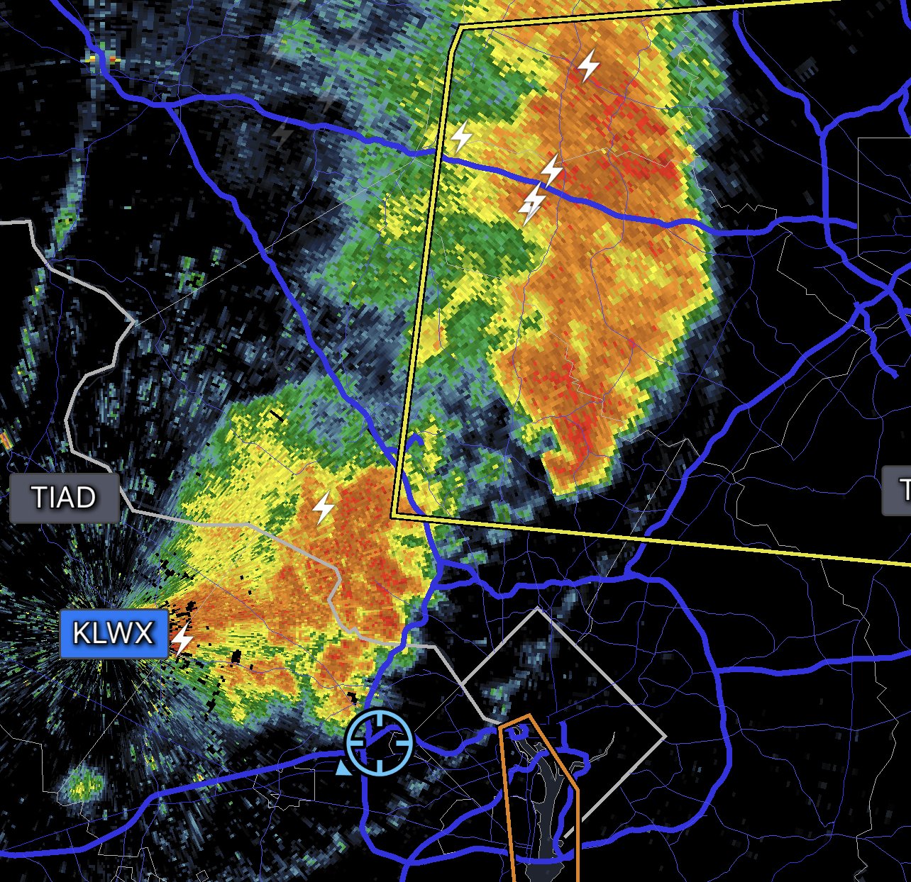
Need to beef up the south side of this line. -
*Looks at water bill* Yeah, my family.
-
Mowed the yard today and didn't see one living cicada.
-
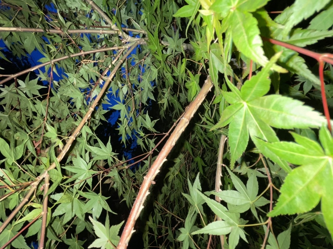
Some of the impacts around my house

-
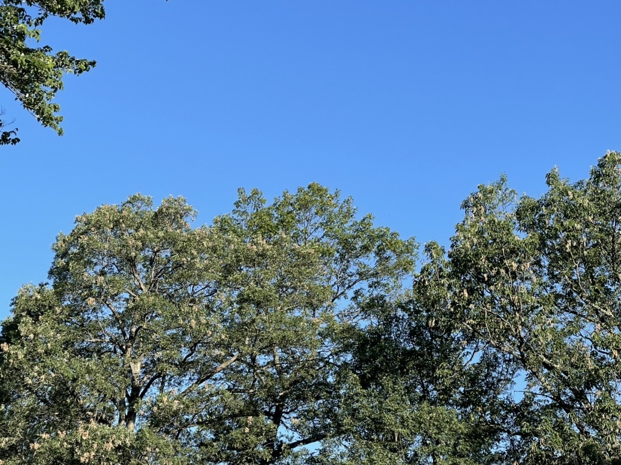
Nice. I am close enough to the attic vent that power-over-Ethernet is a good option. I’m more worried about it pointing directly at the sun. Not sure if that is a problem for the electronics or not. It is weatherproof, but I put an acrylic anti-squirrel disk above it as a cover. Obscenely nice out this morning. June gets a bad rap sometimes, but it can come through with really nice days.
-
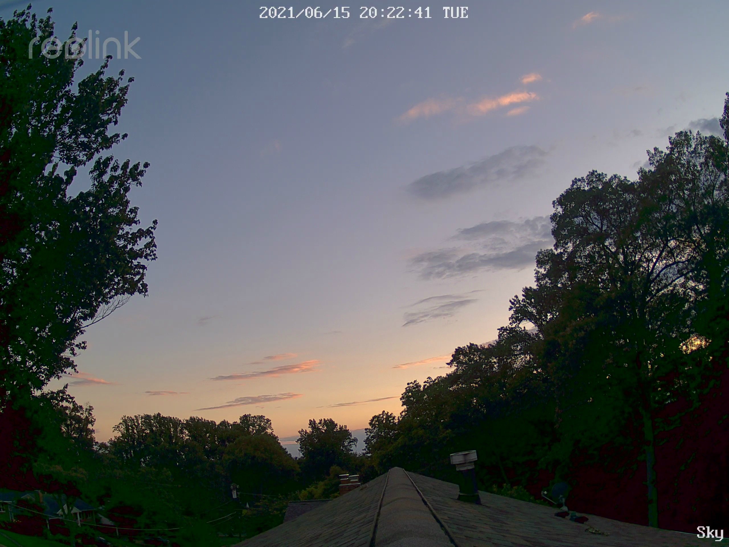
Put one of my cameras up on the anemometer mast. Not sure how it will do up there, but it is a good start. View is WSW.

- 879 replies
-
- 10
-

-
2021 Mid-Atlantic Severe Weather - General Discussion
MN Transplant replied to Kmlwx's topic in Mid Atlantic
Good storms. ~1.5” here, 1.83” at DCA. Radar estimates were too high inside the Beltway. -
2021 Mid-Atlantic Severe Weather - General Discussion
MN Transplant replied to Kmlwx's topic in Mid Atlantic
What I don’t like is how that front-runner cell W of DC fell apart before the Potomac. Doesn’t give me warm fuzzies about the instability near me. -
2021 Mid-Atlantic Severe Weather - General Discussion
MN Transplant replied to Kmlwx's topic in Mid Atlantic
Good eye. Really shows up well on TBWI. The BWI wind flipped east and DP shot up around 7pm. -
2021 Mid-Atlantic Severe Weather - General Discussion
MN Transplant replied to Kmlwx's topic in Mid Atlantic
Already have the initiation around Warrenton that was advertised.