

Kmlwx
-
Posts
13,549 -
Joined
-
Last visited
Content Type
Profiles
Blogs
Forums
American Weather
Media Demo
Store
Gallery
Everything posted by Kmlwx
-

2022 Mid-Atlantic Severe Wx Thread (General Discussion Etc)
Kmlwx replied to Kmlwx's topic in Mid Atlantic
Just saw the upgrade to enhanced. Day-of upgrades always seem to bode well for us. Especially when the upgrade is at the 1300 update or later. Let's go! -
2022 Mid-Atlantic Severe Wx Thread (General Discussion Etc)
Kmlwx replied to Kmlwx's topic in Mid Atlantic
Wonder how their new drainage system would hold up -
2022 Mid-Atlantic Severe Wx Thread (General Discussion Etc)
Kmlwx replied to Kmlwx's topic in Mid Atlantic
That would be ugly for Ellicott City.... -
2022 Mid-Atlantic Severe Wx Thread (General Discussion Etc)
Kmlwx replied to Kmlwx's topic in Mid Atlantic
Particularly if the jackpots are in areas that have recently been deluged. -
Some of those products are beautiful. Thanks!
-
A bit OT - but it would be really cool to have a model that was similar to the HRRR where the domain was not the entire country but small regions. Smaller region I'd assume would let it be run more frequently or at a higher resolution. Get a data assimilation system in place that allows for realllllllly good data at the start. Could be fun to see how something like that would perform as a regular part of the forecast models. I know some places (Millersville University had one) have WRFs that they run on their own...but talking more about something at the NCEP level. Though I'm aware that better resolution doesn't always mean better accuracy
-
Having that coincide with climo peak heat would be very nice. Some sort of torch is nearly inevitable during summer - but if we can have that happen more towards later summer when we can pair it with reducing climo maxes it blunts the heat of summer a bit. 90 is even fine with me. But avoiding 95 and 68+ dewpoints would be great. All in all I haven't melted this summer so far.
-
The HRRR has some smaller cells (nothing too impressive looking) for the metros. Thinking it *could* be distantly similar to the other day when things looked kind of lame and then cells kept training over MoCo. Maybe not to that degree but there could be training or backbuilding I'd think. Think that Flood Watch is more to cover the isolated cases of urban flooding or small creeks that inevitably occur in any storm that lasts more than 10 minutes.
-
76 degree dewpoint IMBY right now. Awful.
-
2022 Mid-Atlantic Severe Wx Thread (General Discussion Etc)
Kmlwx replied to Kmlwx's topic in Mid Atlantic
Missing me just a hair to the east. Good rumble of thunder a few mins ago, though. -
2022 Mid-Atlantic Severe Wx Thread (General Discussion Etc)
Kmlwx replied to Kmlwx's topic in Mid Atlantic
The fat lady is warming up for those of us not being impacted by the King George, VA cluster. HRRR continues to suck for this afternoon. -
2022 Mid-Atlantic Severe Wx Thread (General Discussion Etc)
Kmlwx replied to Kmlwx's topic in Mid Atlantic
Latest HRRR sucks. -
2022 Mid-Atlantic Severe Wx Thread (General Discussion Etc)
Kmlwx replied to Kmlwx's topic in Mid Atlantic
I'm starting to think either we are cooked for severe today or this stuff gets out of the way and something forms/comes through late afternoon/early evening. -
2022 Mid-Atlantic Severe Wx Thread (General Discussion Etc)
Kmlwx replied to Kmlwx's topic in Mid Atlantic
Certainly seems like all this messy convection about to come off the high terrain will be here very early. There's a lot of it too...not just a few cells. If that doesn't intensify it'll probably dampen our instability big time. -
2022 Mid-Atlantic Severe Wx Thread (General Discussion Etc)
Kmlwx replied to Kmlwx's topic in Mid Atlantic
Actually so is the 12z FV3, ARW, ARW2 AND the HERDERPS. -
2022 Mid-Atlantic Severe Wx Thread (General Discussion Etc)
Kmlwx replied to Kmlwx's topic in Mid Atlantic
12z RAP brings a nice line through as well. -
2022 Mid-Atlantic Severe Wx Thread (General Discussion Etc)
Kmlwx replied to Kmlwx's topic in Mid Atlantic
12z HRRR seems like it missed/is missing all of the crapvection in WV...but it delivers a healthy line into the area this afternoon. -
2022 Mid-Atlantic Severe Wx Thread (General Discussion Etc)
Kmlwx replied to Kmlwx's topic in Mid Atlantic
Hopefully that WV activity can stay out there for the morning at the very least. I saw a few runs yesterday that brought activity in as early as 17z in spots. If we can prevent crapvection from forming closer in to the major metro - we might be okay. -
2022 Mid-Atlantic Severe Wx Thread (General Discussion Etc)
Kmlwx replied to Kmlwx's topic in Mid Atlantic
One encouraging sign is that my dewpoint has risen to the upper 60s (even pushing 70 at times). So the moisture has certainly advected back in. Some of the models that really didn't develop much instability seemed to have a dry pool of air in the area and especially in the eastern half of the area on earlier runs. However, I see dews are almost entirely into the mid to upper 60s across the area now...even low 70s in southern Maryland. -
2022 Mid-Atlantic Severe Wx Thread (General Discussion Etc)
Kmlwx replied to Kmlwx's topic in Mid Atlantic
Very messy radar now in WV. It's too early for this unfortunately if clouds or the activity itself moves into our area. Will be interested to see the 12z runs. -
2022 Mid-Atlantic Severe Wx Thread (General Discussion Etc)
Kmlwx replied to Kmlwx's topic in Mid Atlantic
Has the feeling like early activity *might* be an issue. Some stuff just W of Elkins now, and even a shower N of Culpeper. -
2022 Mid-Atlantic Severe Wx Thread (General Discussion Etc)
Kmlwx replied to Kmlwx's topic in Mid Atlantic
Decent amount of cloud cover in the area - but there should be some breaks of sunshine for many at times.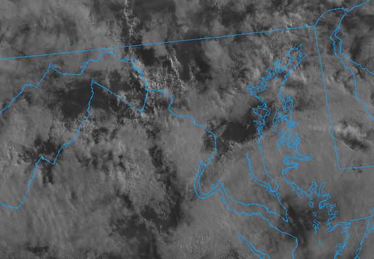
-
2022 Mid-Atlantic Severe Wx Thread (General Discussion Etc)
Kmlwx replied to Kmlwx's topic in Mid Atlantic
New development but potentially triggered in part by the existing line. Though models tend to do poorly with distinguishing new development from existing line - especially when the lines are blurred. -
2022 Mid-Atlantic Severe Wx Thread (General Discussion Etc)
Kmlwx replied to Kmlwx's topic in Mid Atlantic
Last 3 or so HRRR runs have been quite nice for the metro area this afternoon. -
2022 Mid-Atlantic Severe Wx Thread (General Discussion Etc)
Kmlwx replied to Kmlwx's topic in Mid Atlantic
My dewpoint is 63ish this AM. Would like to see that higher for the threat for later.
