Kmlwx
-
Posts
13,549 -
Joined
-
Last visited
Content Type
Profiles
Blogs
Forums
American Weather
Media Demo
Store
Gallery
Everything posted by Kmlwx
-
Would love to get a cool down from an outflow boundary tonight. My bedroom is running 83 or 84 degrees these last few nights. I removed my window A/C as I decided to pick no bugs instead of cool air
-

2021 Mid-Atlantic Severe Weather - General Discussion
Kmlwx replied to Kmlwx's topic in Mid Atlantic
The 12z GFS in fantasy land (post 300hrs) dumps a sizeable EML into our area. That would be a game changer. It wasn't on the 0z or 6z, though - so it's probably going poof by next run. And even on this run, it focuses any threat well north and west of us. -
2021 Mid-Atlantic Severe Weather - General Discussion
Kmlwx replied to Kmlwx's topic in Mid Atlantic
The HRDPS is also pretty similar to that 12z NAM nest run. I'm in for tomorrow. There's a decent amount of guidance supporting the idea. -
2021 Mid-Atlantic Severe Weather - General Discussion
Kmlwx replied to Kmlwx's topic in Mid Atlantic
The slight is along and then south and east of the metro areas. Western areas marginal. -
2021 Mid-Atlantic Severe Weather - General Discussion
Kmlwx replied to Kmlwx's topic in Mid Atlantic
Looks like it's going to be a slight risk for tomorrow as of the 1730z outlook. Text/discussion is already out. -
2021 Mid-Atlantic Severe Weather - General Discussion
Kmlwx replied to Kmlwx's topic in Mid Atlantic
Here's a little sample from over on Pivotal - la la lock it up
-
2021 Mid-Atlantic Severe Weather - General Discussion
Kmlwx replied to Kmlwx's topic in Mid Atlantic
Heck of a 12z NAM nest run for the close-in metro area - Blows up a huge cell or line segment - good UH swath and sim IR frames -
Of course.
-
If the criteria is a heat index of 105 and it's not breaching 100...why would they issue one? Everyone knows it's hot out - I sort of get why LWX has a tendency to over warn on severe weather - but heat advisories are definitely an area they can afford to be conservative on. They have communicated the heat/humidity well enough - and so has the local media. I'm not saying heat isn't dangerous (especially for sensitive groups) but it's one of those things (unlike certain severe wx situations) you don't need an advisory to tell you about to understand the risk/danger. If the general public needs a big orange advisory to tell them "drink lots of fluids when it's hot out" - they might have an issue.
-
2021 Mid-Atlantic Severe Weather - General Discussion
Kmlwx replied to Kmlwx's topic in Mid Atlantic
Late in the 6z GFS run the model tries to send down a bunch of great mid-level lapse rates but they go from north to south well to our west. But something to keep an eye on if the flow is different as we get closer. -
2021 Mid-Atlantic Severe Weather - General Discussion
Kmlwx replied to Kmlwx's topic in Mid Atlantic
June 4, 2008 has been showing up in some of the analogs around the 96hr mark. -
2021 Mid-Atlantic Severe Weather - General Discussion
Kmlwx replied to Kmlwx's topic in Mid Atlantic
Hr 120 is lighting up on the 0z CIPS run. Of note is that it's highlighting the potential threat on multiple domains - gives me some higher confidence it's picking up on something. -
Definitely cool to see that some trees have been left almost untouched while others have the top 1/6th or so completely browned at the tips.
-
Hasn't been an audible song here in multiple days. Dead ones around, though - and a few zombie-like ones trying unsuccessfully to fly near the ground.
-
2021 Mid-Atlantic Severe Weather - General Discussion
Kmlwx replied to Kmlwx's topic in Mid Atlantic
The southern end of that northern piece just missed me here in Colesville. -
2021 Mid-Atlantic Severe Weather - General Discussion
Kmlwx replied to Kmlwx's topic in Mid Atlantic
Might as well tear it down now. -
2021 Mid-Atlantic Severe Weather - General Discussion
Kmlwx replied to Kmlwx's topic in Mid Atlantic
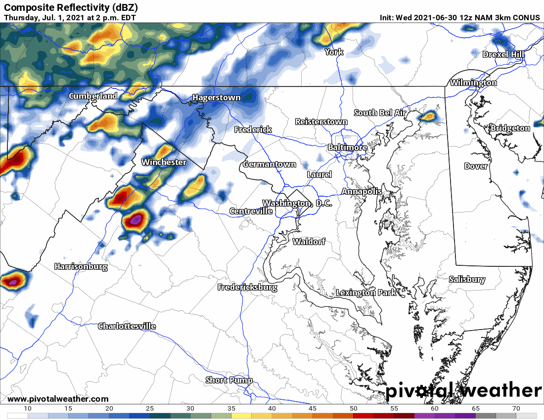
Pretty anemic radar now. -
2021 Mid-Atlantic Severe Weather - General Discussion
Kmlwx replied to Kmlwx's topic in Mid Atlantic
And there you go...warned for 70mph. -
2021 Mid-Atlantic Severe Weather - General Discussion
Kmlwx replied to Kmlwx's topic in Mid Atlantic
Another core of strong winds may be forming near Middleburg. That's the next area to watch as it heads east. Already some 55kt+ pixels in there -
2021 Mid-Atlantic Severe Weather - General Discussion
Kmlwx replied to Kmlwx's topic in Mid Atlantic
Some sort of interference. There has been a lot of talk about it during prior precip events going back a year or so (or more). -
2021 Mid-Atlantic Severe Weather - General Discussion
Kmlwx replied to Kmlwx's topic in Mid Atlantic
Gotta say - I'm not a fan of the huge warnings LWX puts out in cases like these. The wind core is likely to be pretty small - and having such a large warning doesn't allow them to localize a small portion of the warning to indicate higher winds. Suppose that core of winds cycles back up in a later scan - with a warning update you'd have to either warn the entire polygon for wind that only a tiny part will see...or keep the warning winds lower. Smaller warnings allow you to more precisely communicate potential. -
2021 Mid-Atlantic Severe Weather - General Discussion
Kmlwx replied to Kmlwx's topic in Mid Atlantic
I feel like we all anecdotally feel this way (myself included). I'm easy of you (north of Silver Spring) and I feel like they do the same thing here. -
2021 Mid-Atlantic Severe Weather - General Discussion
Kmlwx replied to Kmlwx's topic in Mid Atlantic
The trajectory of that wind core looks good for me - but it's still early...any deviation could mean a vastly different outcome this far east. It'll get at least a swath of MoCo. Remains to be seen which parts. -
2021 Mid-Atlantic Severe Weather - General Discussion
Kmlwx replied to Kmlwx's topic in Mid Atlantic
We will have to see whether the outflow runs too far out ahead of these. They are heading into some very juicy/unstable air. But if outflow rushes out, that could dampen severe chances behind it (and increase the heavy rain risk). -
2021 Mid-Atlantic Severe Weather - General Discussion
Kmlwx replied to Kmlwx's topic in Mid Atlantic
That area where the 70mph warned cell is right now is a *very* common area for damaging wind storms to form during our severe events. Believe July 25, 2010 had a core of winds show up there before sweeping across Loudoun, MoCo etc.