eyewall
-
Posts
13,169 -
Joined
-
Last visited
Content Type
Profiles
Blogs
Forums
American Weather
Media Demo
Store
Gallery
Everything posted by eyewall
-
Yeah that last one I saw before I left would have been epic but it was only seen through breaks in the clouds.
-
Looks like a G3 possible tomorrow night.
-
I am pretty sure the experience of having to work at a fast food joint will harm him more than the tornado did.
-
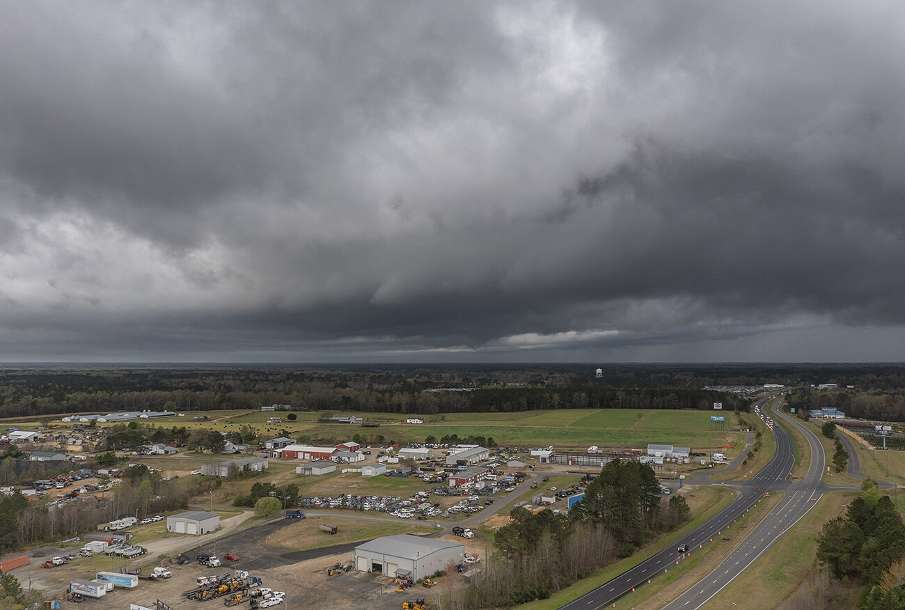
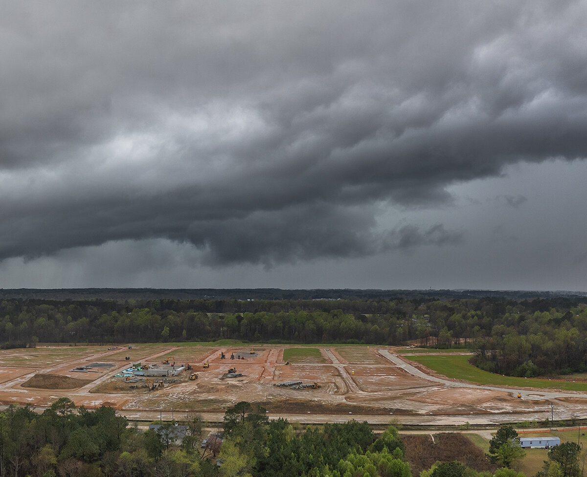
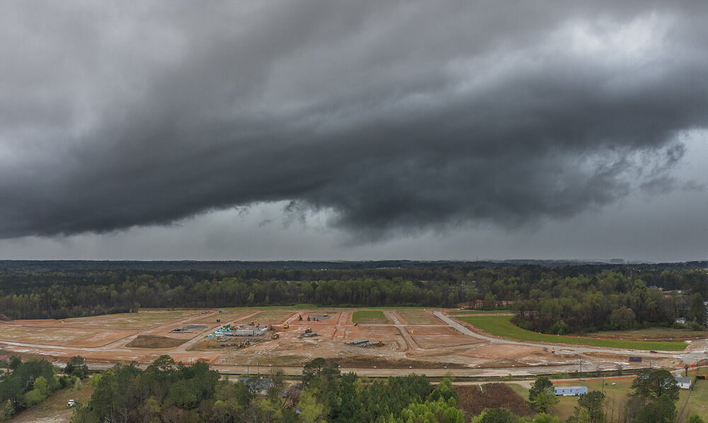
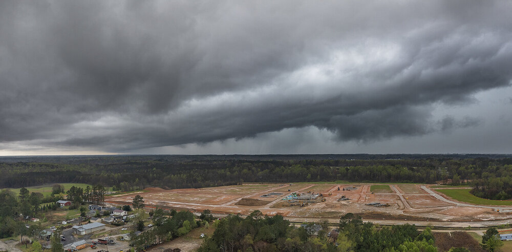
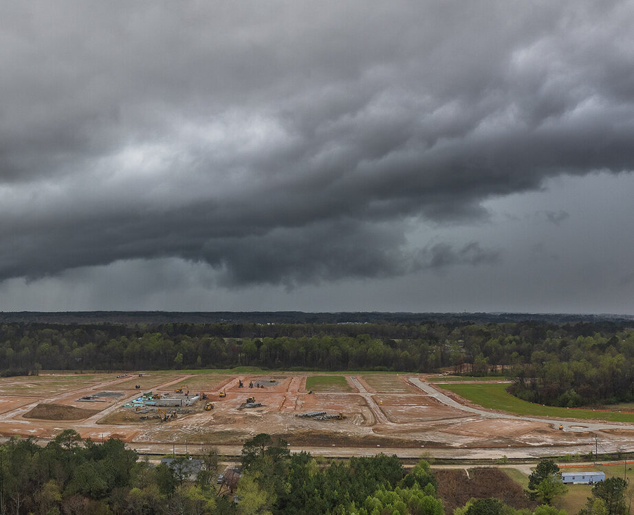
I went after the tornado warned storm south of Raleigh this morning. I got a look at the meso at it was dying out and then the notch in the line behind it. The line actually offered somewhat better shots.

-
Most of the subforum are not where the MDT is and farther east. Others joined another crappy board called SouthernWX.
-
It never fails
-
Jacksboro Texas got hit hard with major structural damage.
-
MDT Upgrade for central Texas.
-
I wish I could get over there for a chase but of course I will be working these events. Not often you see a D3 MDT. We will see if they upgrade as we get closer. I wouldn't snooze on tomorrow's TX threat either.
-
Yeah we needed it! Hopefully it results in a good supply of Oyster Mushrooms They are tasty.
-
Yeah the thunder had me awake at 3am.
-
March was always my favorite month to ski up there!
-
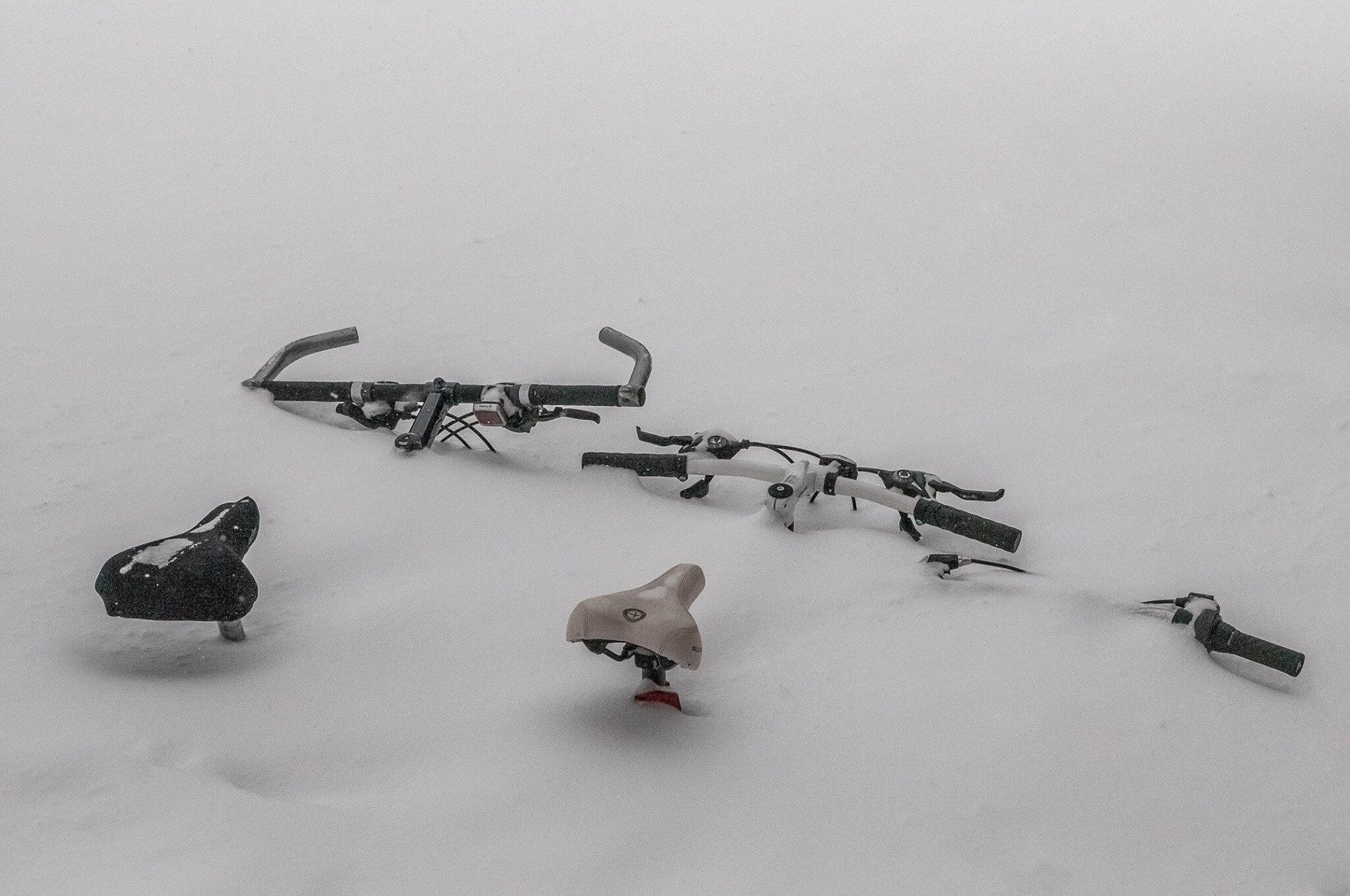
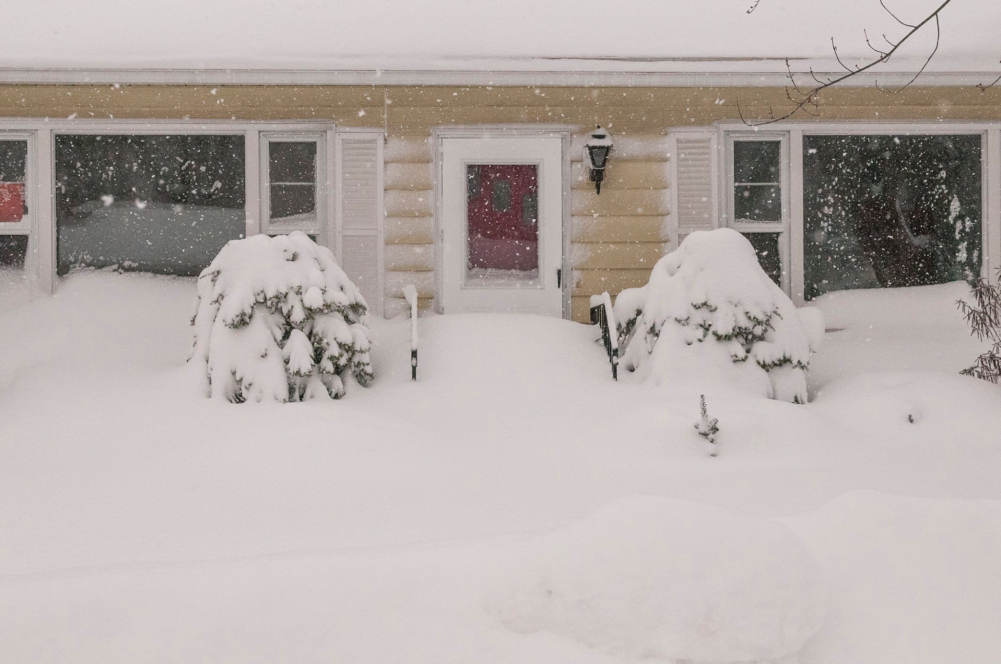
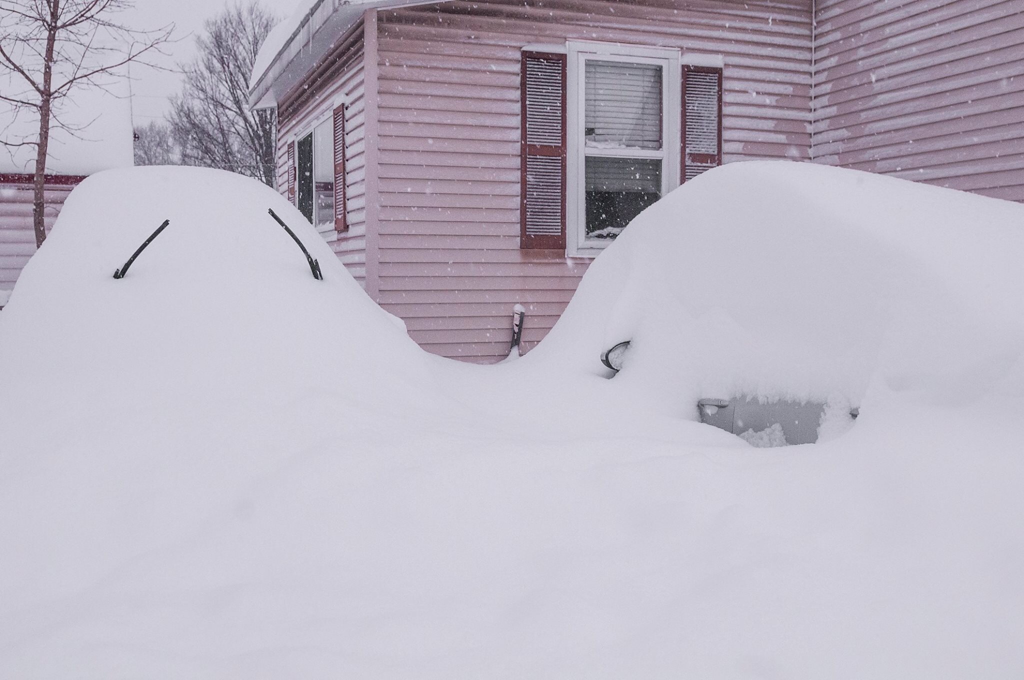
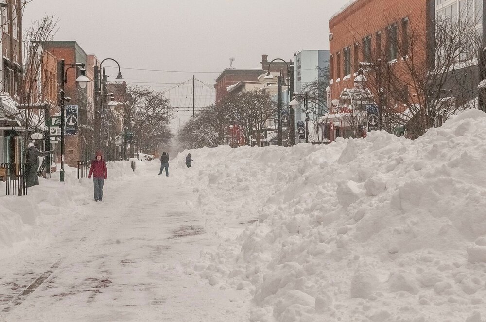
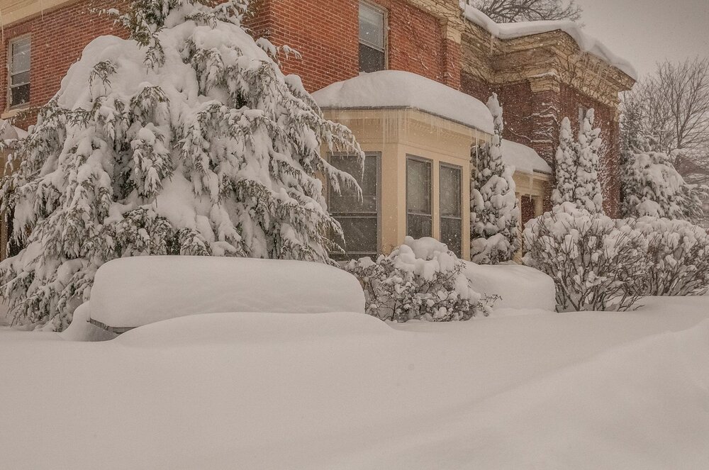
I was in Winooski, VT for the Pi Day storm 3/14-15 2017. It was the single greatest snowfall I have witnessed. I wish I still lived there. It was the first and only time I have witnessed a 30 inch event. Peak snowfall rate was 5 inches an hour.
-
Oh nice! Hopefully another burst of energy occurs.
-
Yeah and it backed off.
-
If it is clear up there you may see Aurora tonight once it gets dark. There is. g2 in progress with a very south Bz
-
If it is clear up there you may see Aurora tonight once it gets dark. There is. g2 in progress with a very south Bz.
-
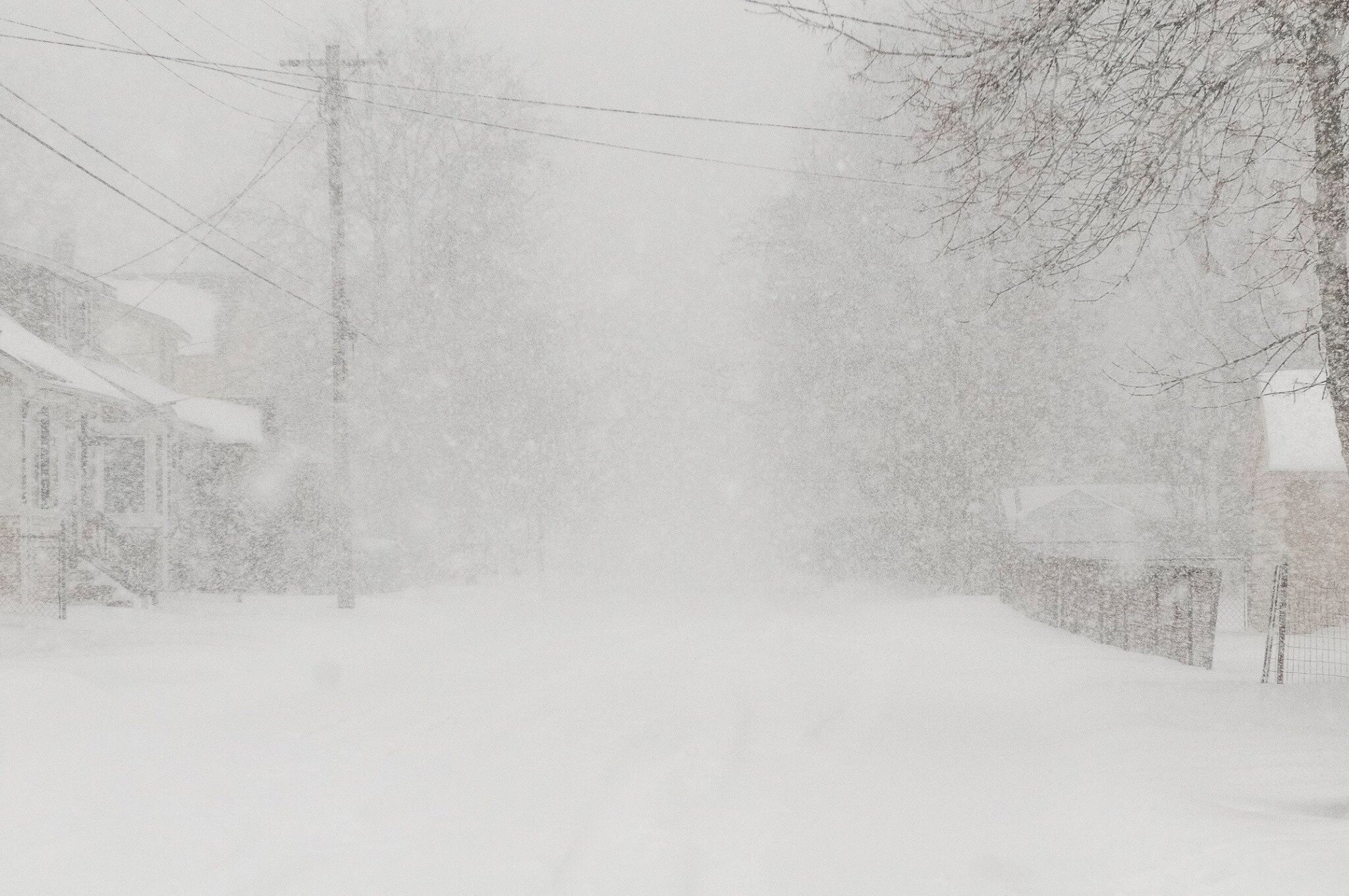
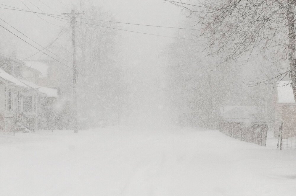
Visibility down to 3/4 of a mile. Maybe down to a half briefly. A dusting in certain spots but mostly not sticking.
-
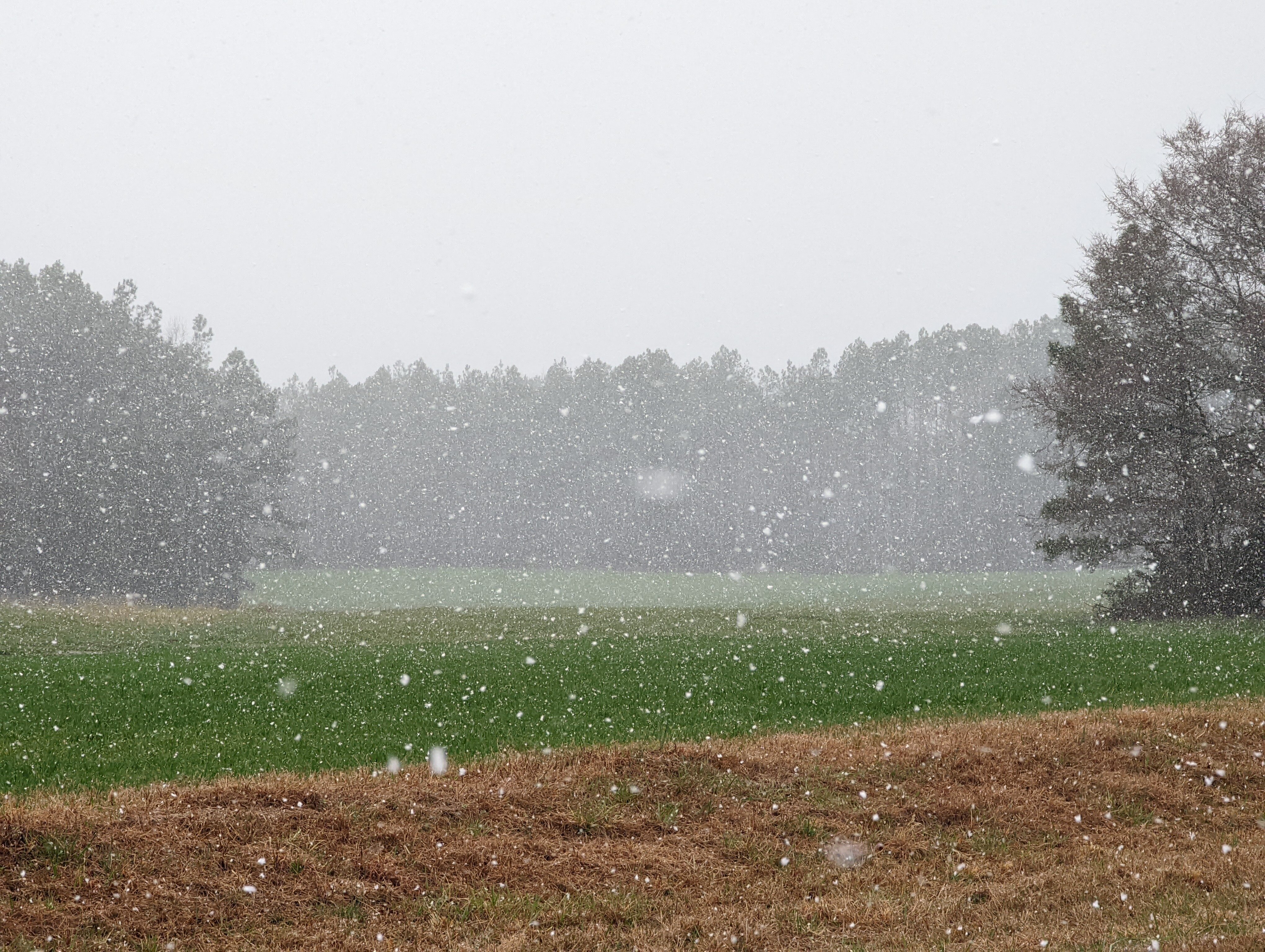
Snow in Henderson.
-
Snow in Henderson
-
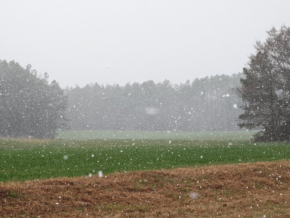
Rain/snow mix with a shower in garner
-
Had a rain/snow mix in Garner
-
It's drizzle here.
-
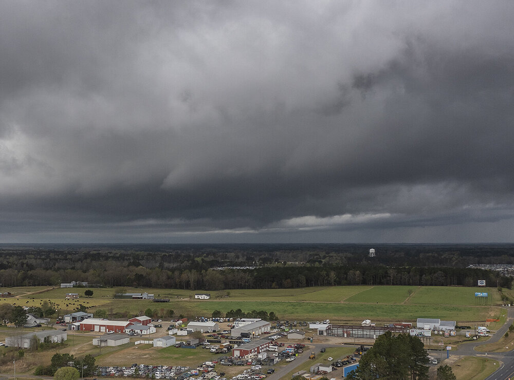
The winds are definitely strong as soon as the front passes. We will see if any flakes make it here but it looks like any chance at accums is northeast of the Triangle (story of the year).
-
I think the snow may skirt north and east of us. However you are right. It will be interesting.