eyewall
-
Posts
13,306 -
Joined
-
Last visited
Content Type
Profiles
Blogs
Forums
American Weather
Media Demo
Store
Gallery
Everything posted by eyewall
-
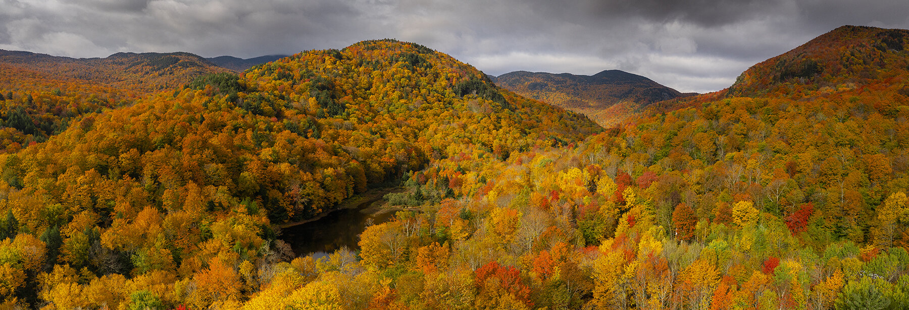
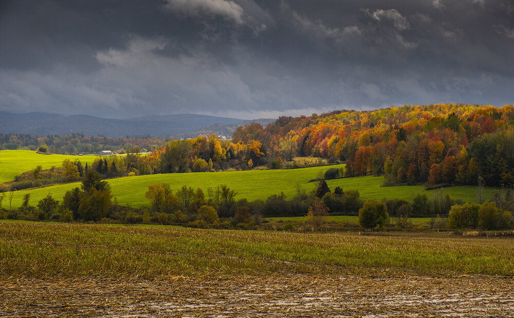
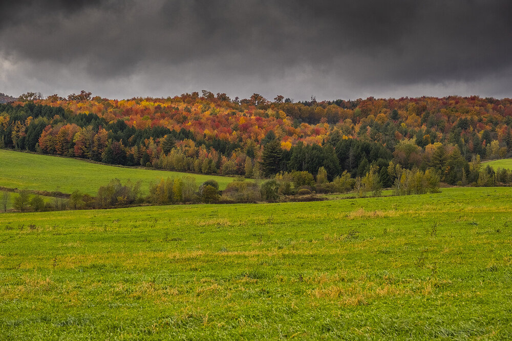
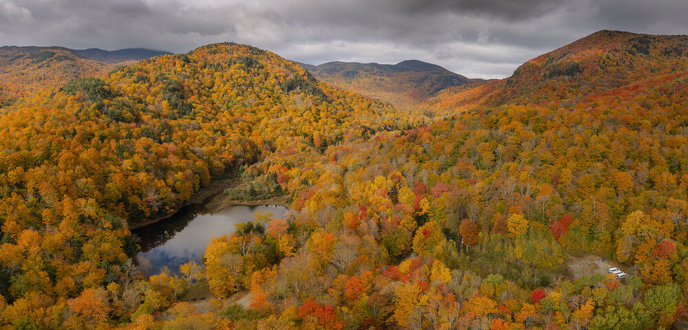
Vermont on 10/9/22


-
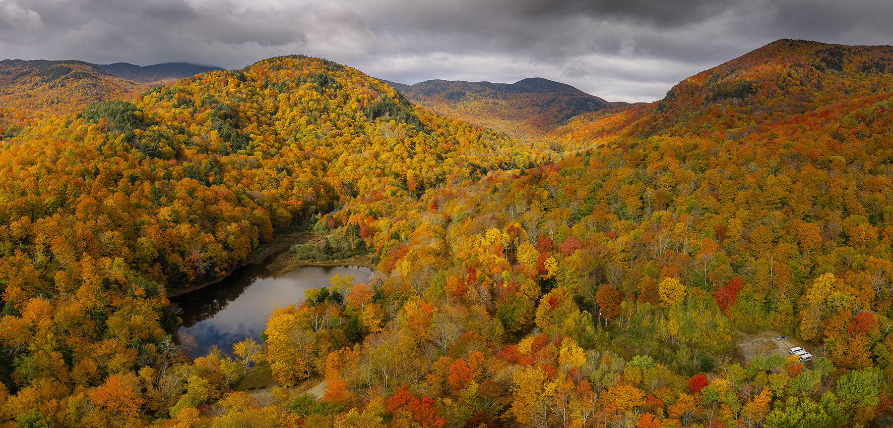
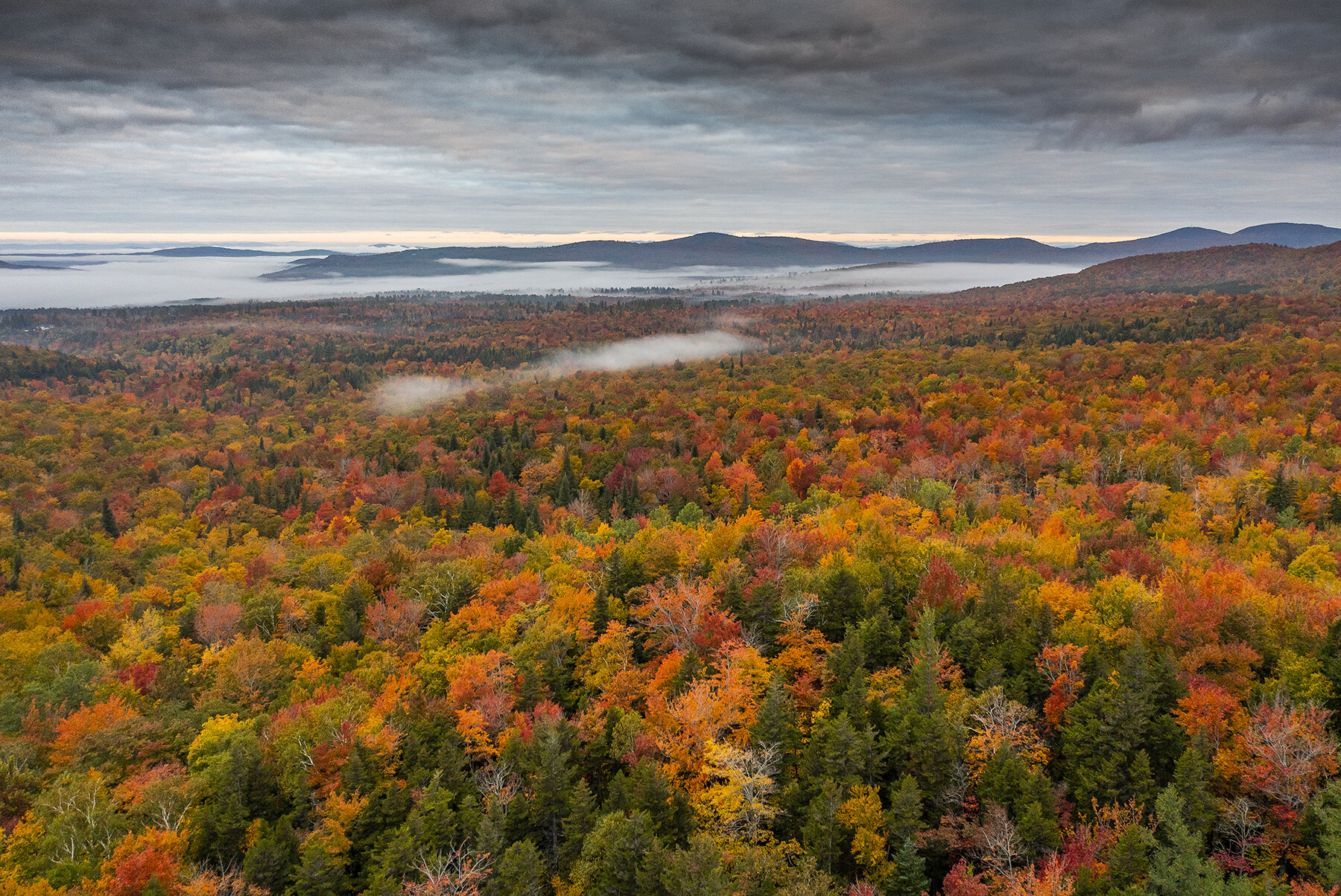
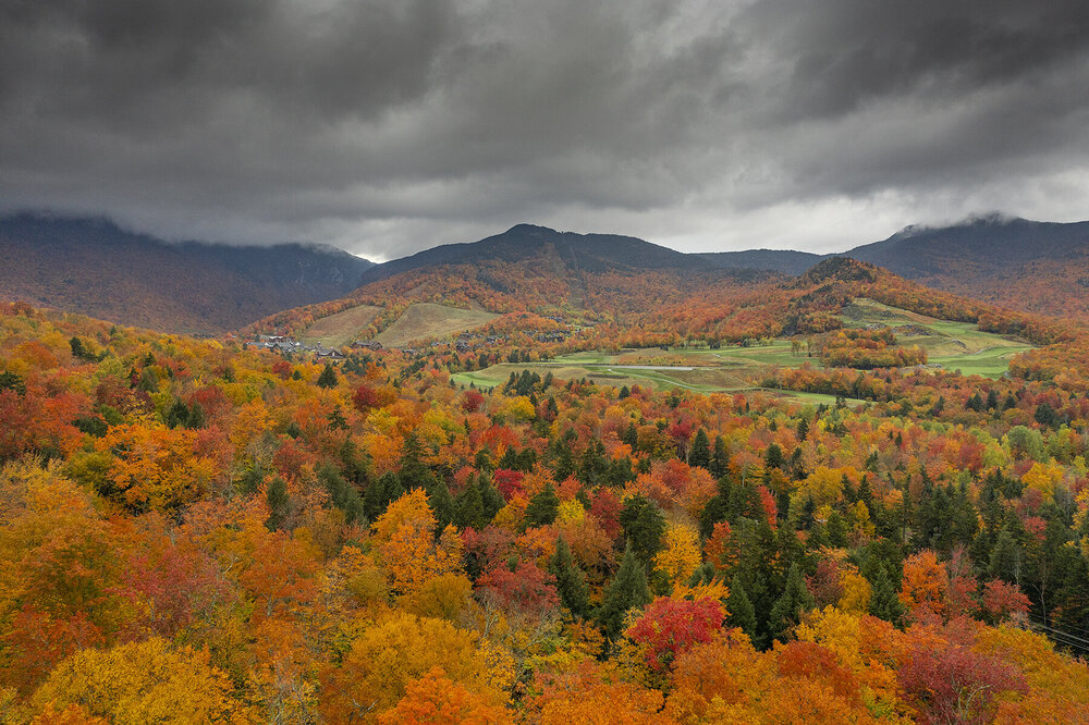
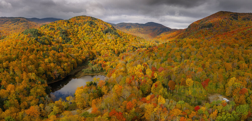
A aerials including more accurate color correction for Nebraska Notch and of course a Stowe shot for Powder. We got out early enough to not have to deal with as many of the peak crowds. One funny note is drones have become much more the norm since I started flying. I had my eyes on the wrong one for a moment and thought I was having a fly away. I was real nervous for a moment until I realized.


-
It was definitely worthwhile and I will have a few more to share as I go through them. Not sure how much more exploring time I will have with other activities planned while I am here but we shall see.
-
A few quick ones from today:


-
A quick cell grab from this morning for the gram: https://www.instagram.com/p/Cjf3KTQrvMR/?igshid=YmMyMTA2M2Y=
-
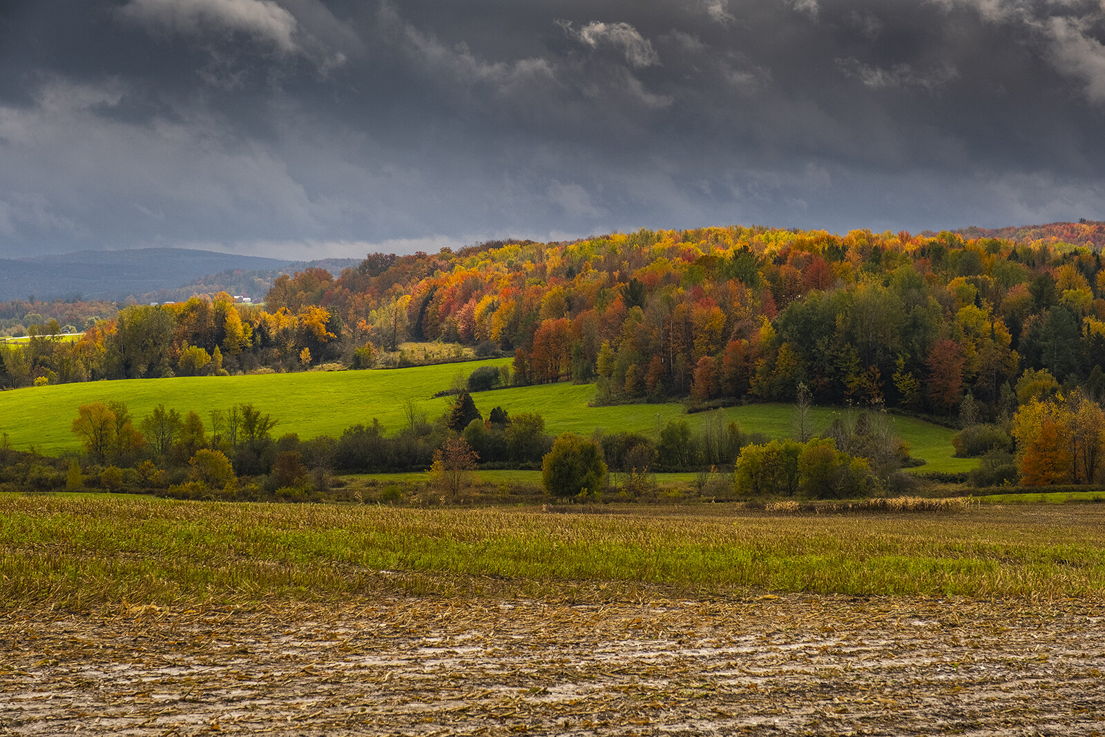
I am up here and hit a few spots already. Color is best just south of the actual notch. I also hit Nebraska notch and the Waterbury reservoir. I don't remember such a blanket peak in all the years I lived here.
-
Yeah I definitely expect crowds for sure
-
Looks like the colors will still be solid for when I get there going by this shot
-
Oh wow missed snowliage by a day! We will be there tomorrow
-
Yeah it was cloudy most days we were there last year. I agree on that.

-
Sounds like this cold front may make my trip not worthwhile
-
Any idea how smugglers notch is doing? I am hoping I am not too late early next week.
-
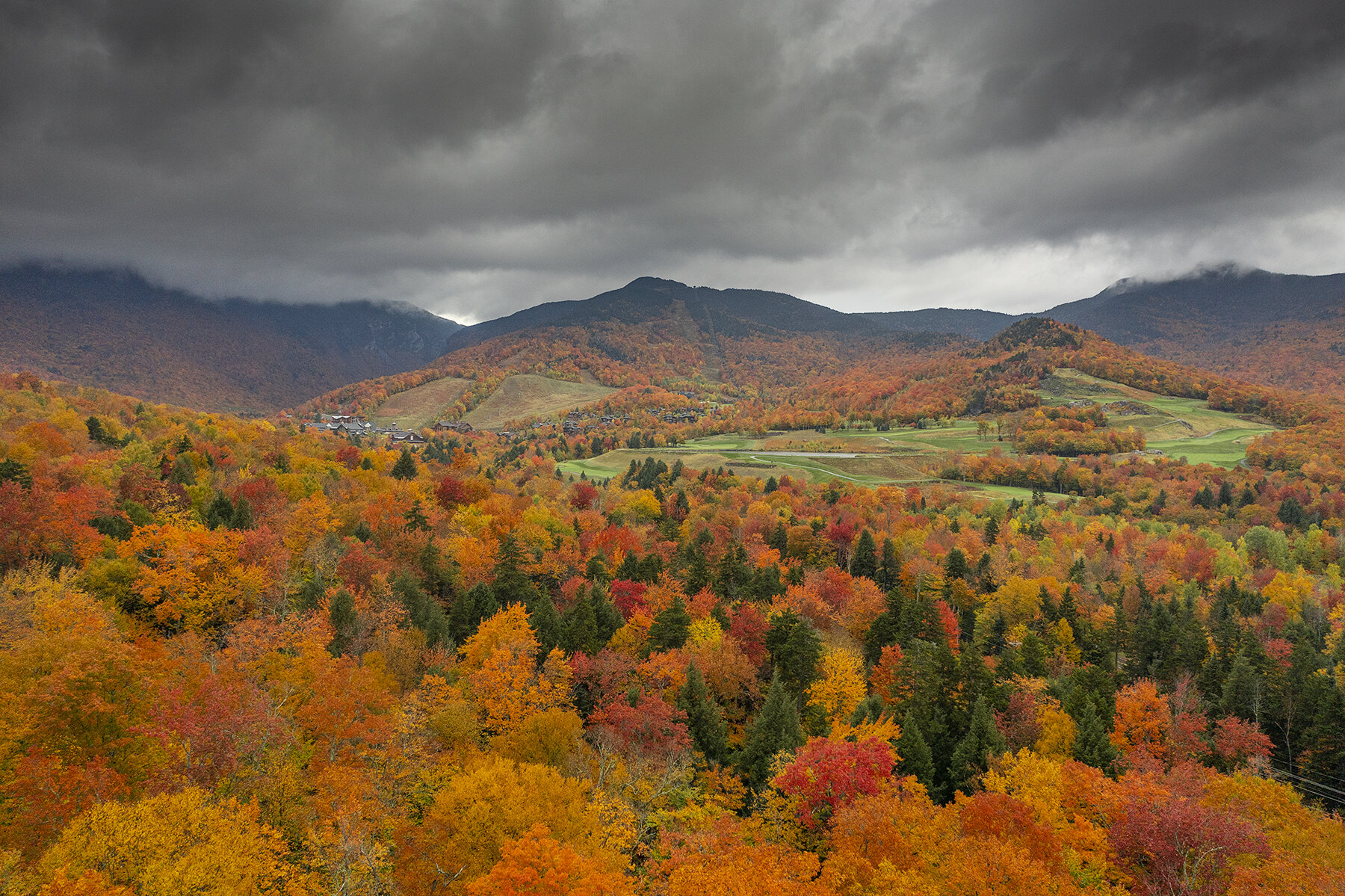
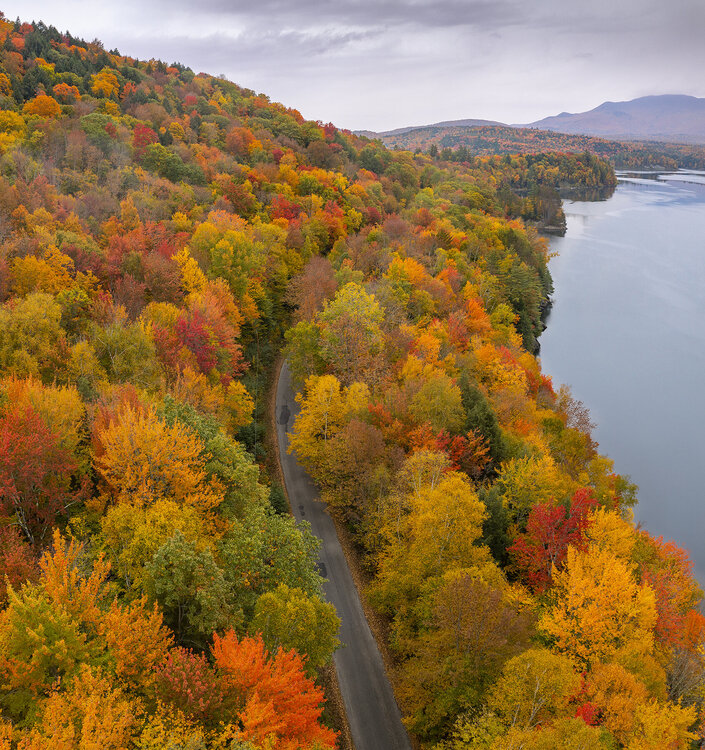
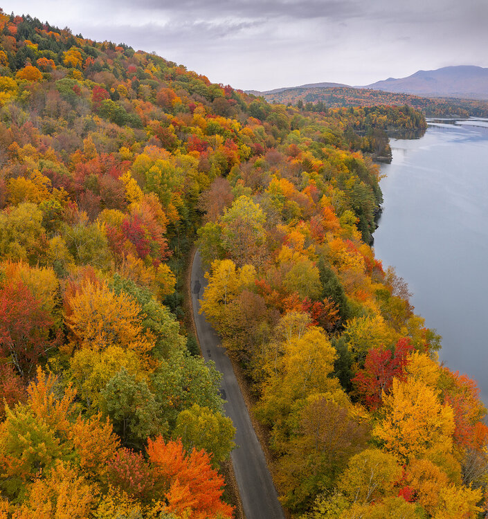
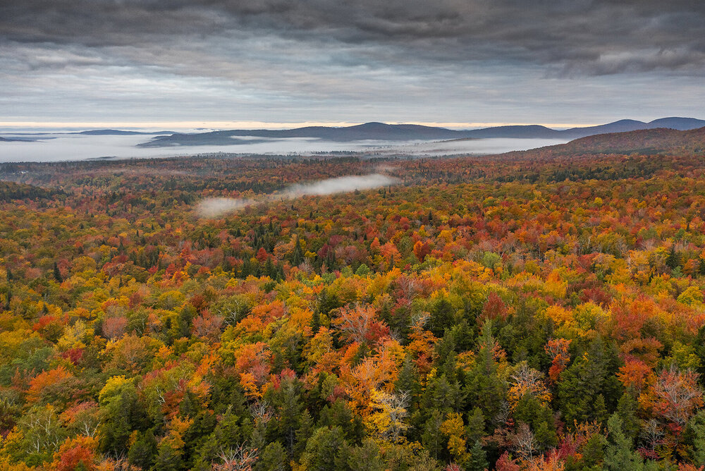
Yeah that is true. I found that last year on my trip. The Kanc is always pretty solid as well. This is that area from north of the notch last year:
-
Looks like it may still have a little time there before the peak.
-
My original plan to stay with a friend fell through. I am lucky I found a room that is reasonably affordable in Enosburg Falls but JFC at the rates in general. Mine was still steep but it could have been worse. Either way, I better get some snowliage out of the deal LOL.
-
How are the leaves doing? I am hoping peak can hold off until early next week in VT.
-
Looks like Ian brought a touch of snow to the NC High Country tonight. Anyway I am coming up for the leaves but this pattern may make it so I am touch late. I hope not though.
-
The gusts are definitely getting less frequent. More impressive than I expected that is for sure. Definitely scattered outages around here and limbs/branches down.
-
Some solid gusts here in Raleigh. 59mph atop Carter Finley Stadium (NC State) and certainly 40-50 at the surface. You can hear the groan just off the deck.
-
10 minute wind gust at Carter Finley in Raleigh is 59 mph: https://wake.weatherstem.com/carterfinley?fbclid=IwAR1kpJHIoG7lVjGf6LRpTRB86ORhwJ3U58yfR2v24AMpffTzKIDswD_O-ww
-
Had a few power flickers and definitely getting more gusts now.
-
Getting some bigger gusts over 40 here in Raleigh now.
-
So far in Raleigh it just isn't very impressive and that is about what I expected. Just a rainy day.
-
Just had a bumpy ride from ATL to RDU landing at 1:09am. The tracker on screen had a 50 mph wind down to 2000ft.
-
That inner eyewall has beefed back up in the past few frames.