-
Posts
3,536 -
Joined
-
Last visited
Content Type
Profiles
Blogs
Forums
American Weather
Media Demo
Store
Gallery
Everything posted by Daniel Boone
-

January/February Mid/Long Range Disco IV: A New Hope
Daniel Boone replied to stormtracker's topic in Mid Atlantic
Regardless of what precip field that's showing, verbatim that's high elevation mountains heavy snow NC and VA . Thickness appears to be shown as ab out 543 in those area's. As long as 850 is 0 to -2T C. . Of course, does most of us no good. Hopefully, more cold will be injected than modeled. -
Spot on with that Post Carver ! Weak Nino is always our best shot at a cold/snowy Winter. Weak Nina's can be decent but, strong either way is killer.
- 790 replies
-
- 1
-

-
Yeah, with that boundary setting up in the vicinity Model's will have fluctuation's on what side we're on and what precip. Hopefully, the cold press is enough to allow for predominately snow. If we can score just one good one the way this winter has been, I'll be satisfied....well, somewhat, lol
- 790 replies
-
- 1
-

-
Meant to mention that event Carvers. Guess I was looking on down the road a bit,lol. Let's hope GFS is right regarding this one. Several on the MA forum are talking about GFS showing 2mT above freezing during the event. It actually is for most of the area. However, i'm not buying that as T should srop as precip falls at a decent rate. Of course, snow can accumulate above freezing if rates are heavy enough too.
- 790 replies
-
- 1
-

-
- 790 replies
-
- 3
-

-

-
i wouldnt fret it as i think the cold will press more.
- 790 replies
-

January/February Mid/Long Range Disco IV: A New Hope
Daniel Boone replied to stormtracker's topic in Mid Atlantic
Hope ur right. If not, and this keeps up the rest of the season, we'll need plenty Opium. -

January/February Mid/Long Range Disco IV: A New Hope
Daniel Boone replied to stormtracker's topic in Mid Atlantic
Yeah, agree on those issues. This is pretty much the most disappointing Winter in my life and I'm an Antique. -

January/February Mid/Long Range Disco IV: A New Hope
Daniel Boone replied to stormtracker's topic in Mid Atlantic
They actually corrected the cold bias with the last "upgrade". From what i've heard that since that upgrade it has somewhat of a warm bias; they overcorrected. -
Yeah. Has Total of 4-8 the 2 waves combined for parts of area. So, hopefully it pans out and we'll be somewhat satisfied considering the terrible fate of this winter so far.
- 790 replies
-
- 2
-

-
I'm thinking the Strat delay effect may be what the Weeklies could be factoring in along with it's Model runs having the MJO in cold phase or COD. I would think maybe it's keying on Blocking, particularly since it depicts coldest anomalies out west and they look to slide east. However, it doesn't look that way by the looks around Greenland. Still could possibly be during some of that timeframe.
- 790 replies
-
- 2
-

-
Yeah, JB is actually very good with teleconnections and all facets of the field actually. He just, as we know, wears cold glasses and let's that sway him many times.
- 790 replies
-
- 3
-

-
Yeah. The main reason may of been strong blocking though.
- 790 replies
-
- 1
-

-
'96 I think. Although there were mild interludes, they were short lived
- 790 replies
-
- 1
-

-
The Ohio Valley is really going to cash in before this Winter is over by the looks of things. Kentucky may be the big Winner next week within our area. Kentucky was the jackpot during the January '94 ice/Snowstorm. Northern KY reported 2 feet of Snow. SE KY reported 10" in Harlan. Most of the State received over a foot !
- 790 replies
-

January 2023 Medium/Long Range Pattern Discussion Thread
Daniel Boone replied to Carvers Gap's topic in Tennessee Valley
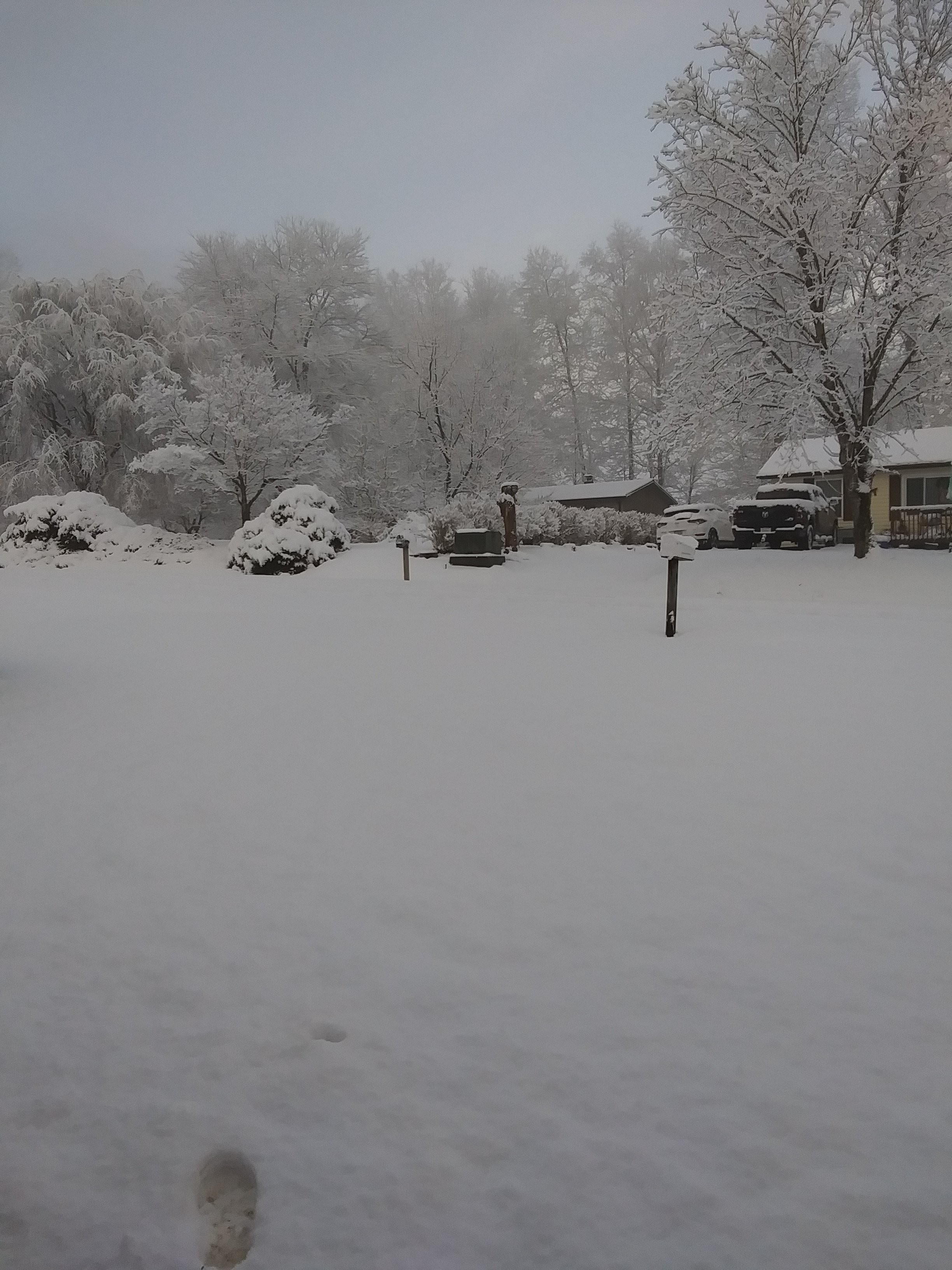
Recorded a dusting overnight. Light snshwrs and periods of steady light snow has been falling through the Morning but, melts as temp Is above freezing now(33.9). There's measurable Snow above 2000ft.- 923 replies
-
- 4
-

-
- warm start
- cold
- (and 4 more)
-

January 2023 Medium/Long Range Pattern Discussion Thread
Daniel Boone replied to Carvers Gap's topic in Tennessee Valley
Alas, it's the hrrr...Actually, it's probably right with the scattered and banding snshrs. It usually does a rather abysmal job for far SWVA irt snowfall. Of course, that's typically with synoptic setup's so who knows maybe it does better with this type.- 923 replies
-
- warm start
- cold
- (and 4 more)
-

January/February Mid/Long Range Disco IV: A New Hope
Daniel Boone replied to stormtracker's topic in Mid Atlantic
Yeah agree, and it seems the SST's off Newfoundland are prob. somewhat of the culprit inhibiting LP development in that particular area thereby allowing the -NAO/SER hookup. -

January/February Mid/Long Range Disco IV: A New Hope
Daniel Boone replied to stormtracker's topic in Mid Atlantic
Yeah, really is puzzling. Look forward to your findings. -

January/February Mid/Long Range Disco IV: A New Hope
Daniel Boone replied to stormtracker's topic in Mid Atlantic
The thing that's been missing recently is the 50-50. Imo, there's your main difference maker. -
Yeah definitely, northern Ark and Southern Mo is the place to be . Too bad everything is not 200 to 300 miles further east.
- 790 replies
-
- 1
-


.jpg.ca4272c657ff3ae77dfa72e81829dd7a.jpg)