

Daniel Boone
-
Posts
3,555 -
Joined
-
Last visited
Content Type
Profiles
Blogs
Forums
American Weather
Media Demo
Store
Gallery
Everything posted by Daniel Boone
-
Flurries and lt Snshrs continue here with a Temperature of 24. Rather fast melting is occurring from underneath. Ground Temp's are still giving.off heat. Some melting from Solar as well .
-
-
-
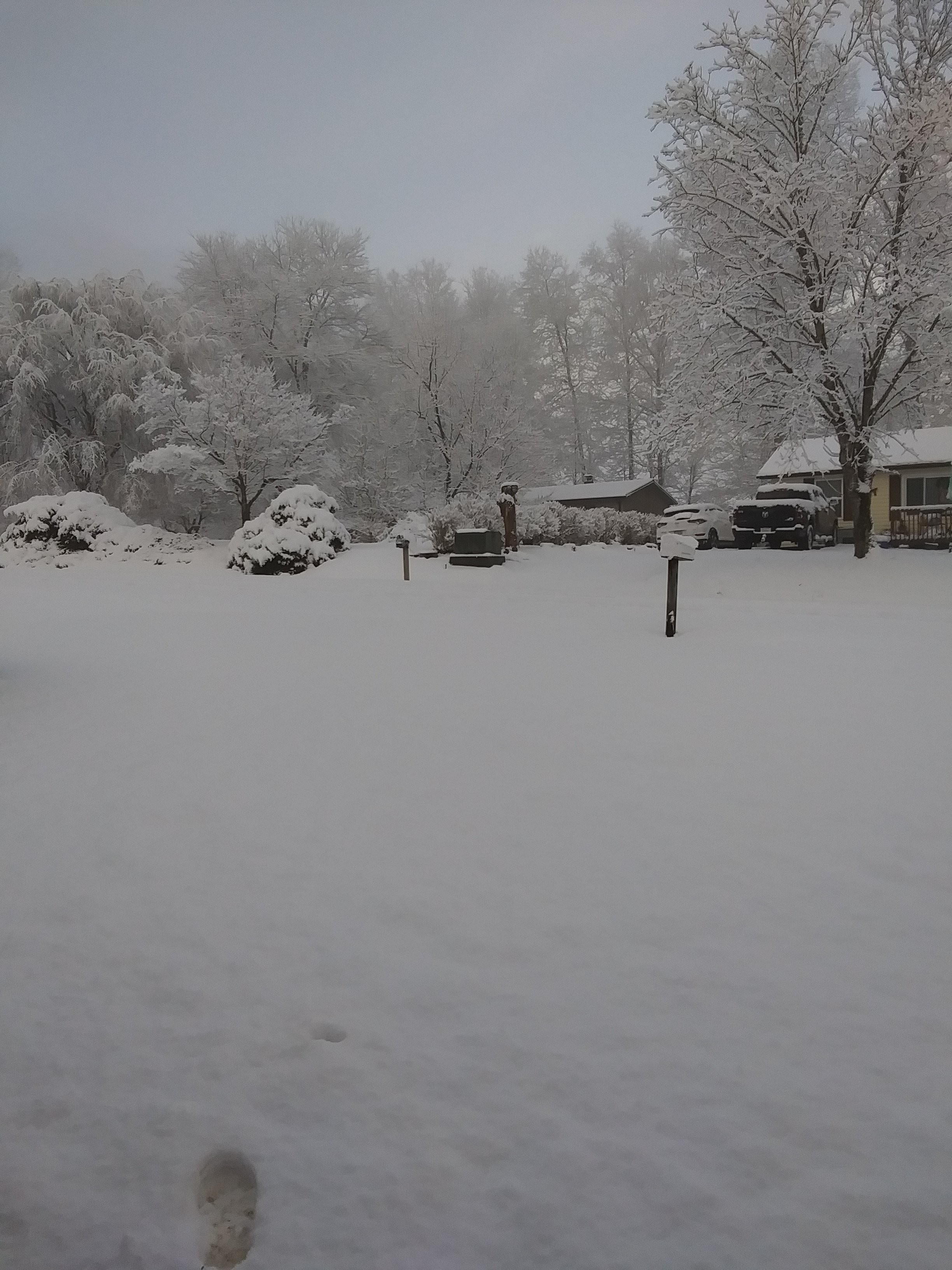
Measurements varied 2 to 3". Some shady Area's had 3. Ground was warm so makes sense. Also some melting underneath was noted early last night even with ambient Temperature in low 20's. Got down to 18 this Morning.
-
2.5 inches here. Nice Surprise. Fluffy kind.
-
We have a half inch here now as a couple heavy Showers moved across. First one a dusting then the last one a half inch. Flurrying now but more upstream if they make it across like this last one did. Current Temperature 23.
-
Same here. Coming down pretty hard just north and east of me on Stone Mountain and Wallen Ridge.
-
2025-2026 Fall/Winter Mountain Thread
Daniel Boone replied to Buckethead's topic in Southeastern States
GFS backed off quite a bit from what it had been showing,here as well as the MA. I think you're pretty spot in with that call up high in favored Locations. -
Not really unless the GFS scores a Coup.
-
2025-2026 Fall/Winter Mountain Thread
Daniel Boone replied to Buckethead's topic in Southeastern States
Yeah, looks crappy. You'd think with the setup even on it, there would be more upslope Snow than depicted. Looks too dry and probably a bit warm . Those are biases of it. -
Looking at the upper air Charts at 36 hrs out there's a minor difference between the two that appears to yield to the drastic difference; The Vort in Alberta orientation. The Strong LP west of Californica appears to be the impetus for that in comparing the EC and GFS there. Shows how minute details can evolve into major differences.
-
She's ticking West on the GFS. Now has measurable (1"+) Snow back to the Plateau. 8-12" Wise to Bluefied. 1-3" Great Valley Locations in NETN /SWVA. 2-8" SEKY. 6-14" TN/NC Border. Blizzard for Northern VA and DC with up to 3 Feet. Alas, it is the GFS...
-
MA and Ohio Valley has had a Cold one for sure. TN Valley had near normal overall. SE cold further East you go for most part.
-
March and then November historically. Early December has as well .
-
I started to pull the trigger on my thoughts irt this Storm yesterday but felt so bad I just couldn't. Besides, really needed another day with those Thoughts, lol. This may be similar to the December '92 Storm. Big Storm just North and NE of us. We did manage a few sloppy inches from backlash in Northeastern Sections of the Great Valley. Man, that GEM Depiction makes me salivate. That's a Blizzard for the MA and NE and not far from it here. I'd be jumping for joy in the MA now. It's looking grand for them .
-
This was from March 2, 1942 Norton, VA.
-
Historic Tennessee Valley Cold, Snow, and Ice Events
Daniel Boone replied to Carvers Gap's topic in Tennessee Valley
Norton VA, March 2 1942. -
Yeah, seems to never fail when you have a mild late Winter. I hate it as it's like a slap in the face. However, even with that, if there's late Snow I can still enjoy that. Lol
-
Yeah, excellent textbook shot of the Terrain effects.
-
Basically downstream domino effect to put it simple as I'm sure you probably assumed anyway, lol. Doesn't always work but more times than not if that Depiction is realized. It's pretty obvious what can knock it off Kilter and we've addressed that before. Also, Model's, as has been the case quite alot lately, can be off on placement of those Features. Holston, man , we appreciate your analysis and input here more than you probably know. You are an unbiased, very knowledgeable Asset to the entire Forum . Top notch !
-
Yeah, that's been the theme regarding it all Winter basically.
-
Usually doesn't favor cold here. Wavelengths will be changing too. If blocking is ongoing in the NAO Domain, could be some wild swings as well. Pop that big HP East into Alaska and a different ballgame.
-
Yeah, early to mid March looks like at least a Couple possibilities imo.
-
Historic Tennessee Valley Cold, Snow, and Ice Events
Daniel Boone replied to Carvers Gap's topic in Tennessee Valley
Yeah, it was a widespread massive Miller A. I think around here it was probably more like 2 Feet. The Paper actually said 2 to 5 feet County Totals with up to 10 Feet Drifts. lol. So, apparently we were Jack potted that Time but just don't know to the extent of what was reported..My Parents were kids then and said they built Tunnels in it and it was up to the Window of their House and many jad to get up and clean porches off as were afraid of collapse. There's a Picture taken in Norton of the '42 Storm and it was probably 35-40" on the Level. If I find it I'll post it. Asheville recorded 16" from it. Pittsburgh over 2 Feet. March 60 had to be something to behold. -
Euro AI has been depicting the possibility but 2-3 Days later.

