Chinook
-
Posts
11,160 -
Joined
-
Last visited
Content Type
Profiles
Blogs
Forums
American Weather
Media Demo
Store
Gallery
Everything posted by Chinook
-
Sarasota airport: now max wind gusts of 96mph from the east
-
49mph gusting to 74mph at Venice FL
-
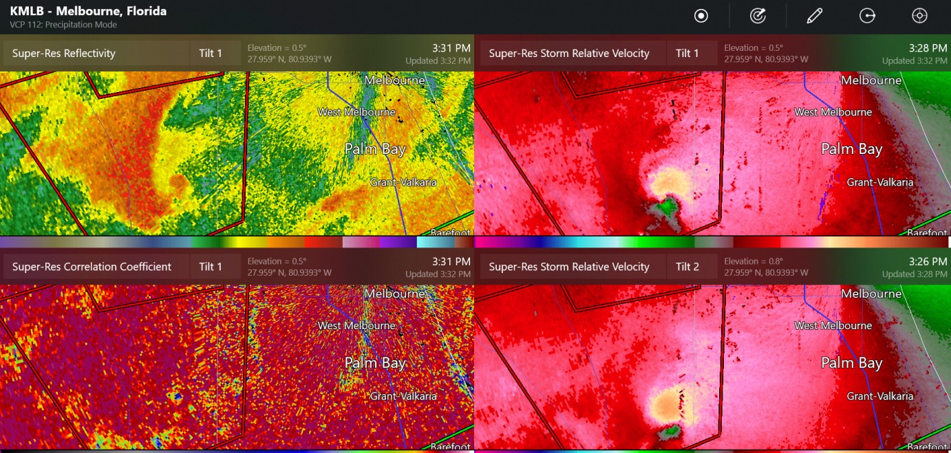
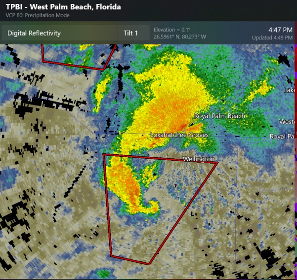
small supercell with tornado warning by West Palm Beach area
-
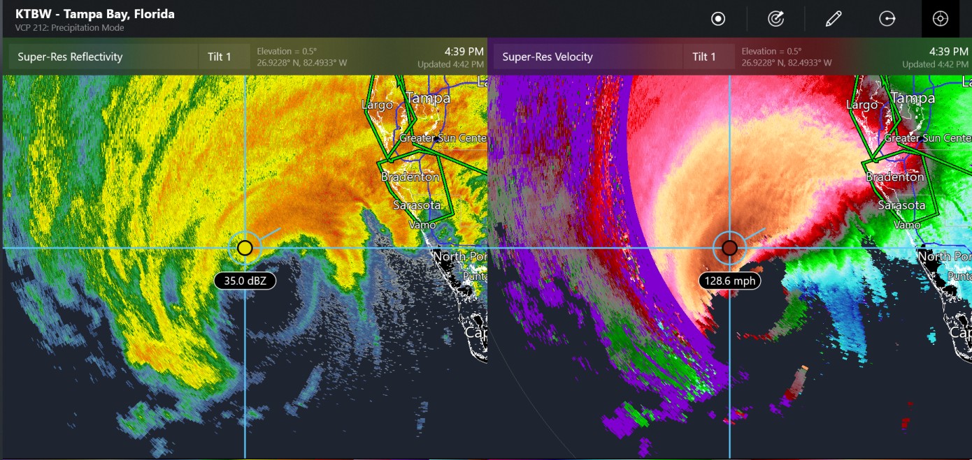
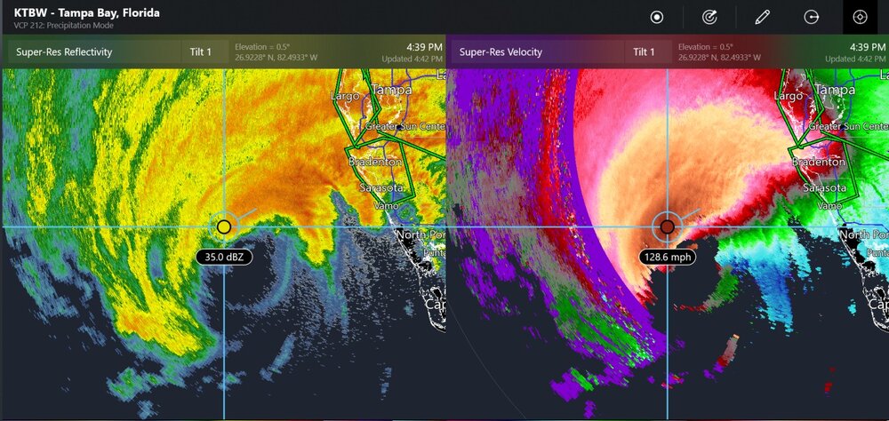
radar seeing 128mph at a few thousand feet
-
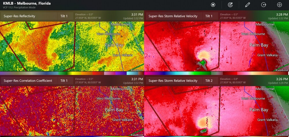
tornado on the ground, near Kenansville
-
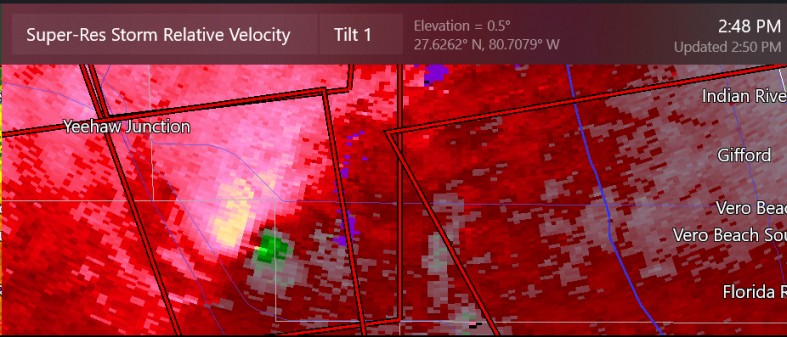
another possible large tornado by Yeehaw Junction
-
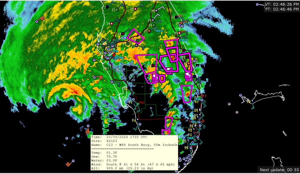
buoy now has wind gusts up to 65mph. Also, 5 tornado reports shown on this radar view
-
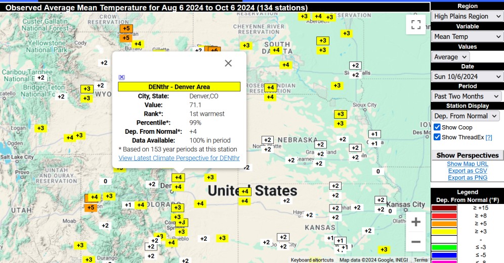
you didn't want to see this warmest for Denver in this 60 day period 700mb temp was 1.75C to 2C (3.15F to 3.6F) above normal
-
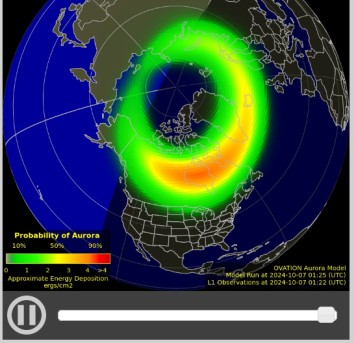
maybe some people could see the auroras from Michigan, Wisconsin tonight
-
Broncos 34 Raiders 18 they were great in their 80's uniforms
-
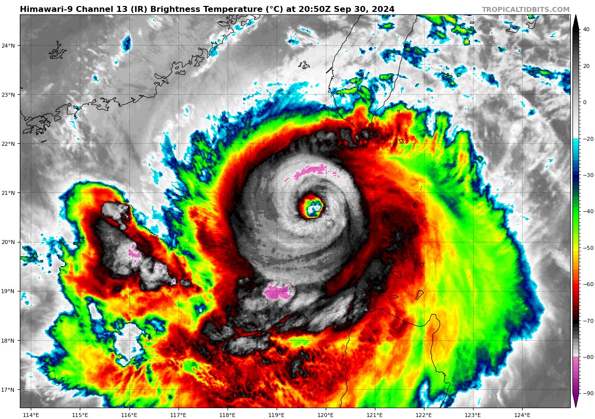
 Typhoon Krathon topped out at Category-4 equivalent (JTWC) and is now at 110 kt (just under category 4) on October 1st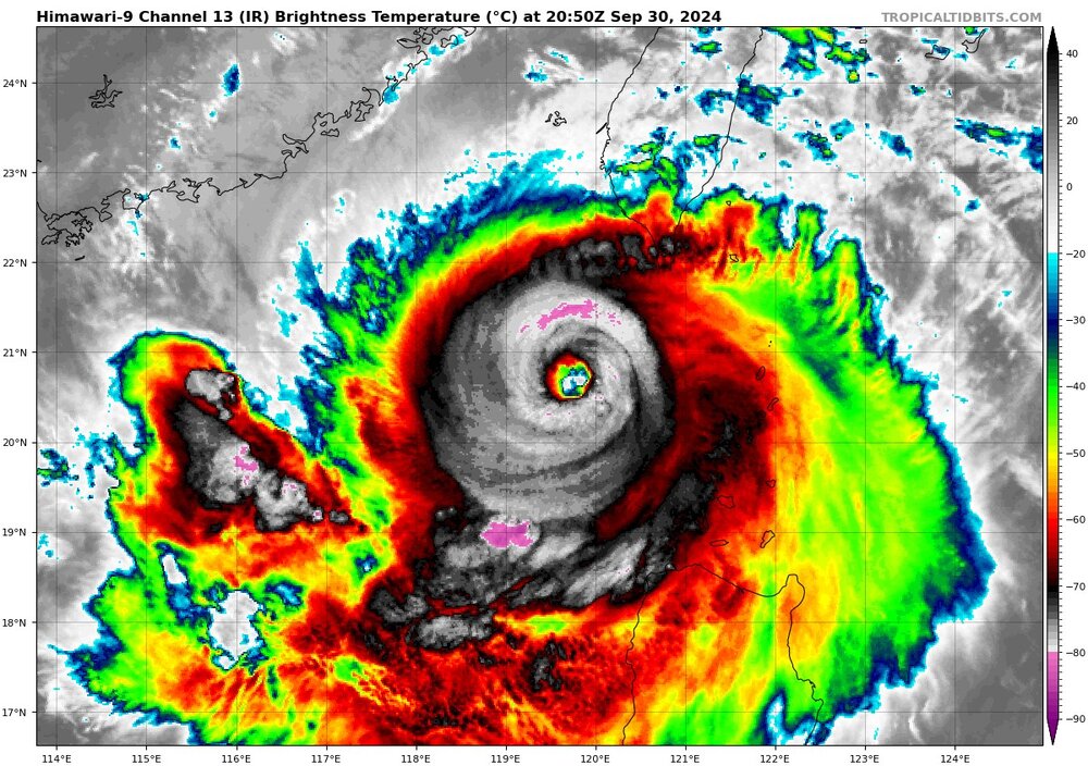
-
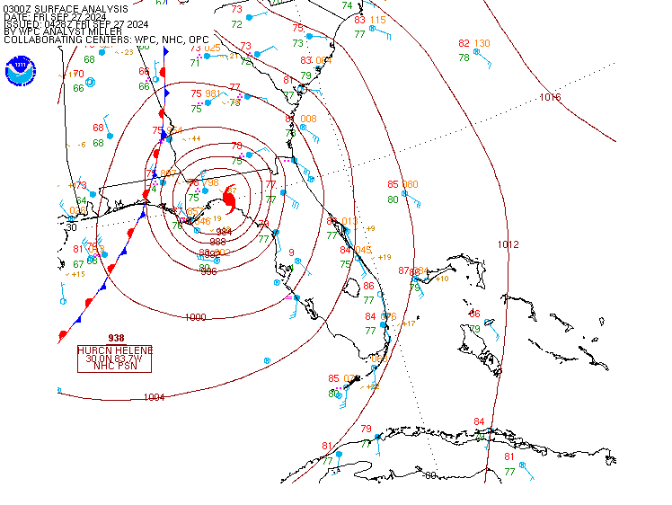
when you have 938 stamped on a surface map
-
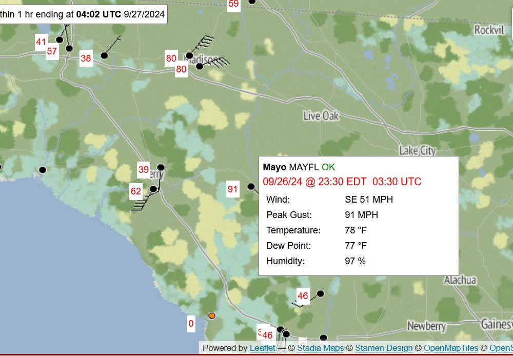
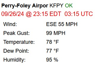
max values I saw were 99 and 91
-
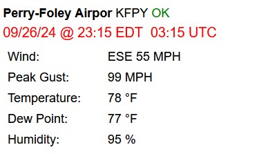
55mph gusting 99mph
-
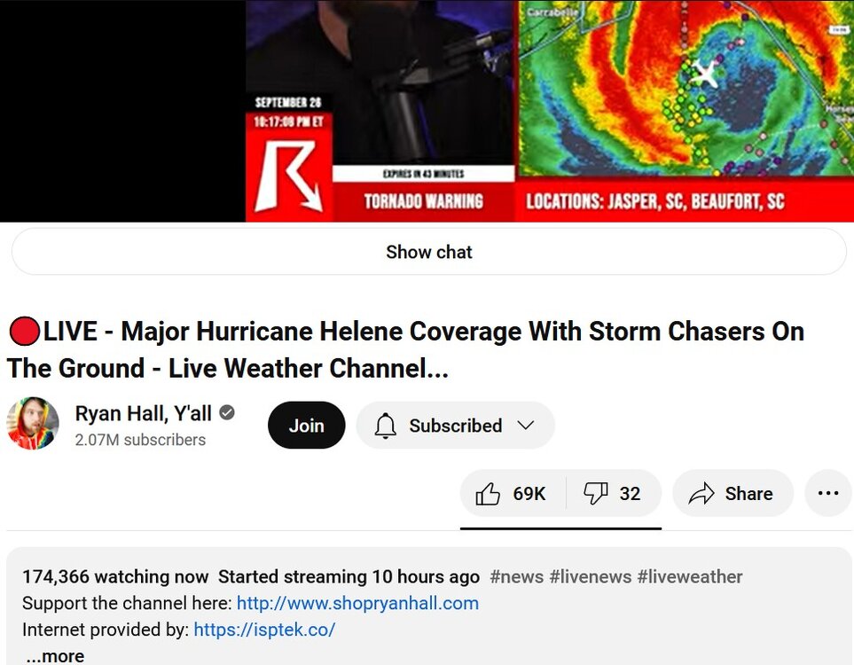
It seems like a lot of people are watching
-
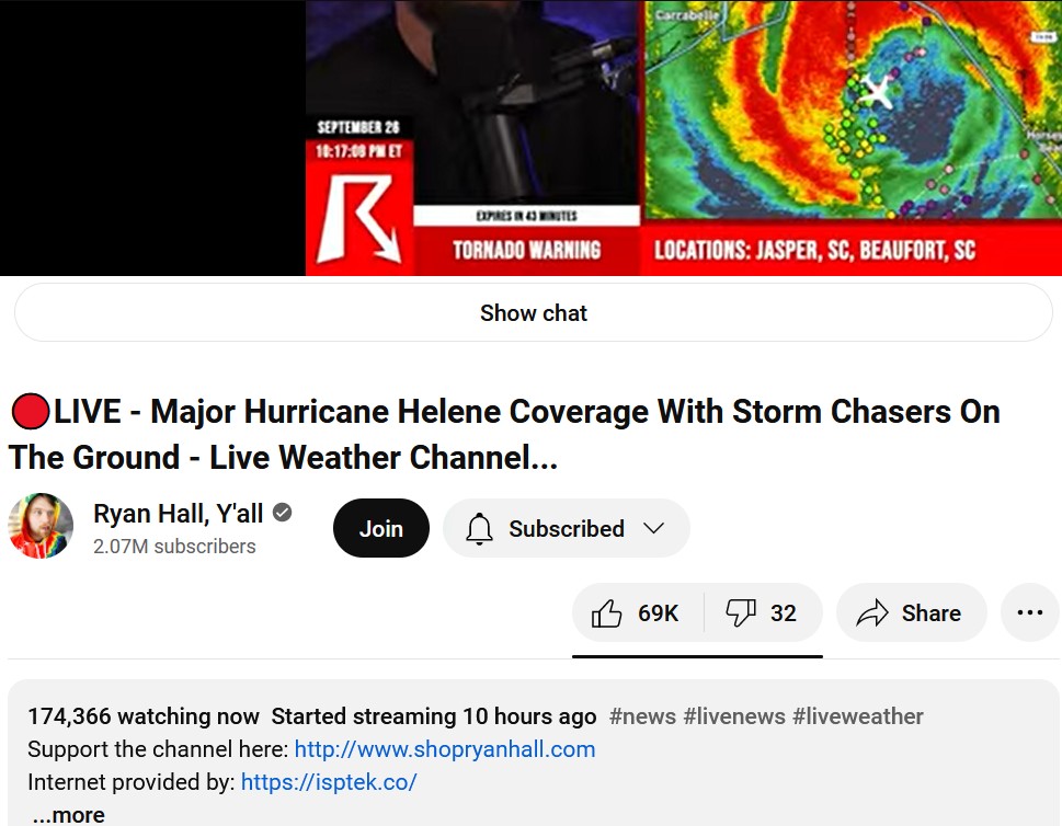
Ryan Hall stream said that the Hurricane Hunters kind of got stuck in the eye earlier (not sure if this is old news, but I haven't heard of such a thing.)
-
these http://placefiles.redteamwx.com/buoyobs.php http://placefiles.redteamwx.com/loop_fullobs.php (for those who don't know, these have to be pasted into the correct entry field in GRLevel2/GRLevel3 program)
-
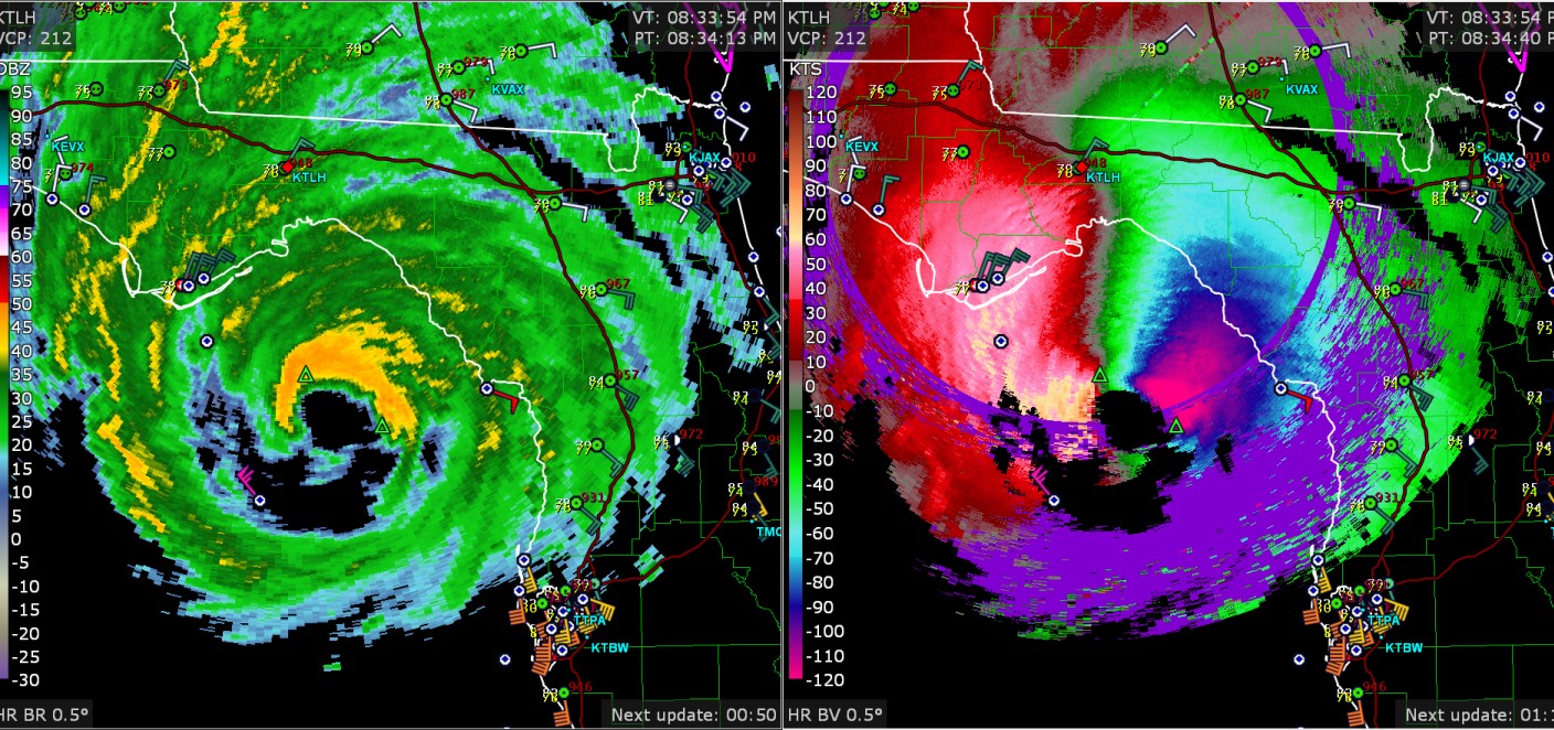
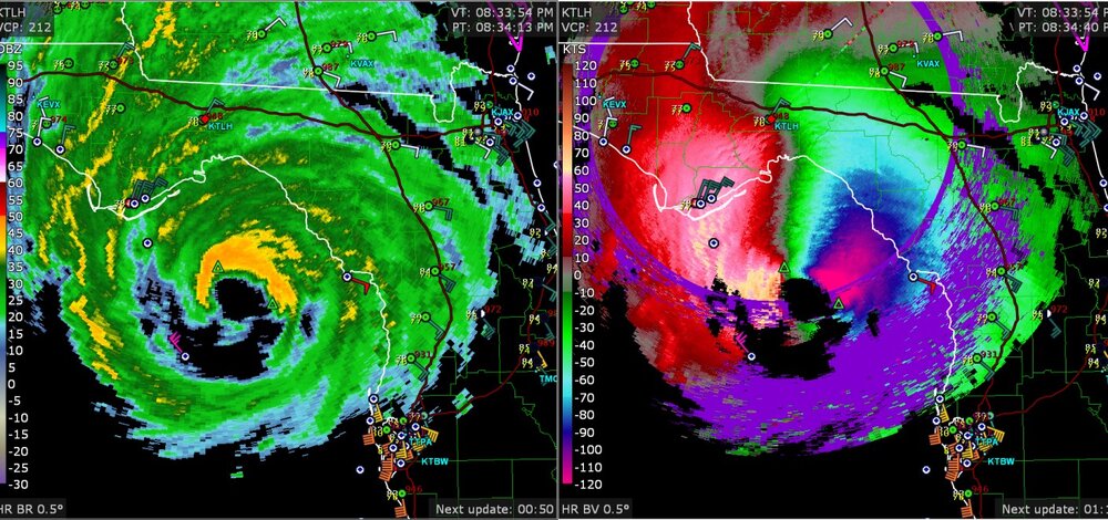
radar now picking up 130 knots in the clouds
-
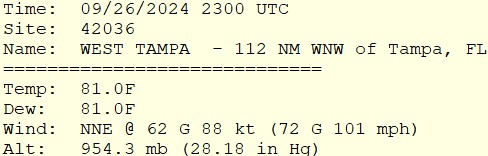
update for the buoy in the storm with over 100 mph gusts
-
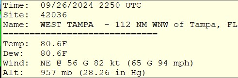
new buoy measurement in the eyewall
-
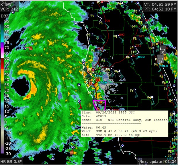
67mph wind gust at a buoy that is far from the storm
-
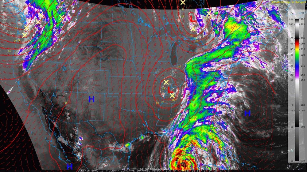
The connection of the hurricane with the USA weather system makes it look like the hurricane has a million fingers
-
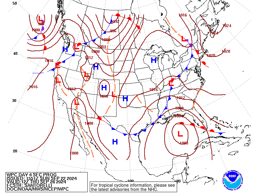
NWS-WPC has a low on the map
-
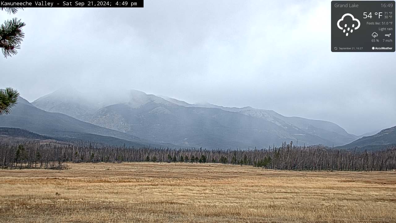
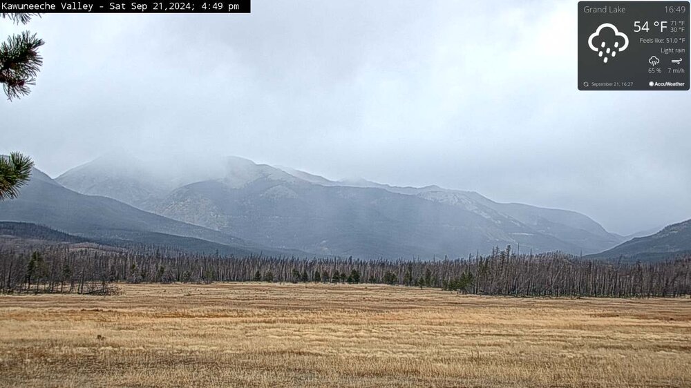
a little rainy/snowy
-
That is just great. Inspiring. Sometimes I wonder what might cause the atoms to light up in the magenta (must be red plus blue) and then the green at lower levels. Fort Collins cooled down to 47 this morning. Then it is right back to 84 right now, several degrees above average. It's almost as if the USA is in some sort of hot drought and repelling cold air.