jbenedet
-
Posts
7,800 -
Joined
-
Last visited
Content Type
Profiles
Blogs
Forums
American Weather
Media Demo
Store
Gallery
Everything posted by jbenedet
-
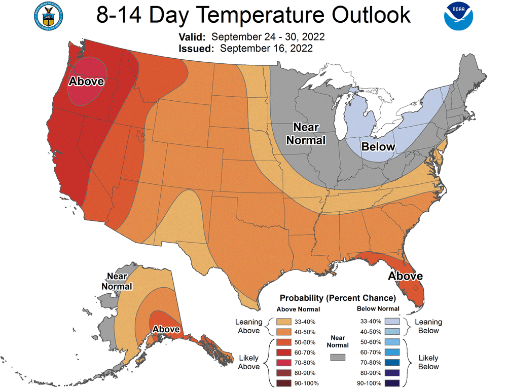
The whole tenor off the east coast is going to shift dramatically over the next week. A WAR is going to build in starting 2nd half of the week and continue to build into the following week. I’m not sold on the first big boot out to sea. The ridge axis out west as highlighted by the CPC, show plenty of wave spacing for UL heights to pump over eastern New England. The ensembles hint, similarly. My expectation is the UL heights build and push from east to west during this time frame. Key will be in how fast this happens to steer Fiona, toward or away from the CONUS.
-
The guidance consensus is pretty damn boring on how Earl is just ejected ENE. I believe there’s too much certainty being placed in this. If you dig into the modeling a bit you can reveal this facade though. The individual members of the GEFS does just that. I mean, ots, sure *eventually*. That’s the forecast right now. But I’m seeing a storm that’s weaker than expected this hour, a fujiwara interaction off the mid Atlantic coast and a Greenland block potentially building over top before Earl is kicked east. If just one of these 3 elements breaks in favor of less progressive, Earl is not disappearing in the next 5 days. A weaker storm does raise the odds that the fujiwara acts less of a kick and more of a phase, so there’s that. It also mitigates risk of Earl finding a subtle ridge break before the block builds over top. Putting impact affects aside, I believe Earl is gonna be kicking around in our region of the Atlantic a lot longer than these op runs are illustrating. Maybe it means little in the end, but at least something to monitor with interest.
-
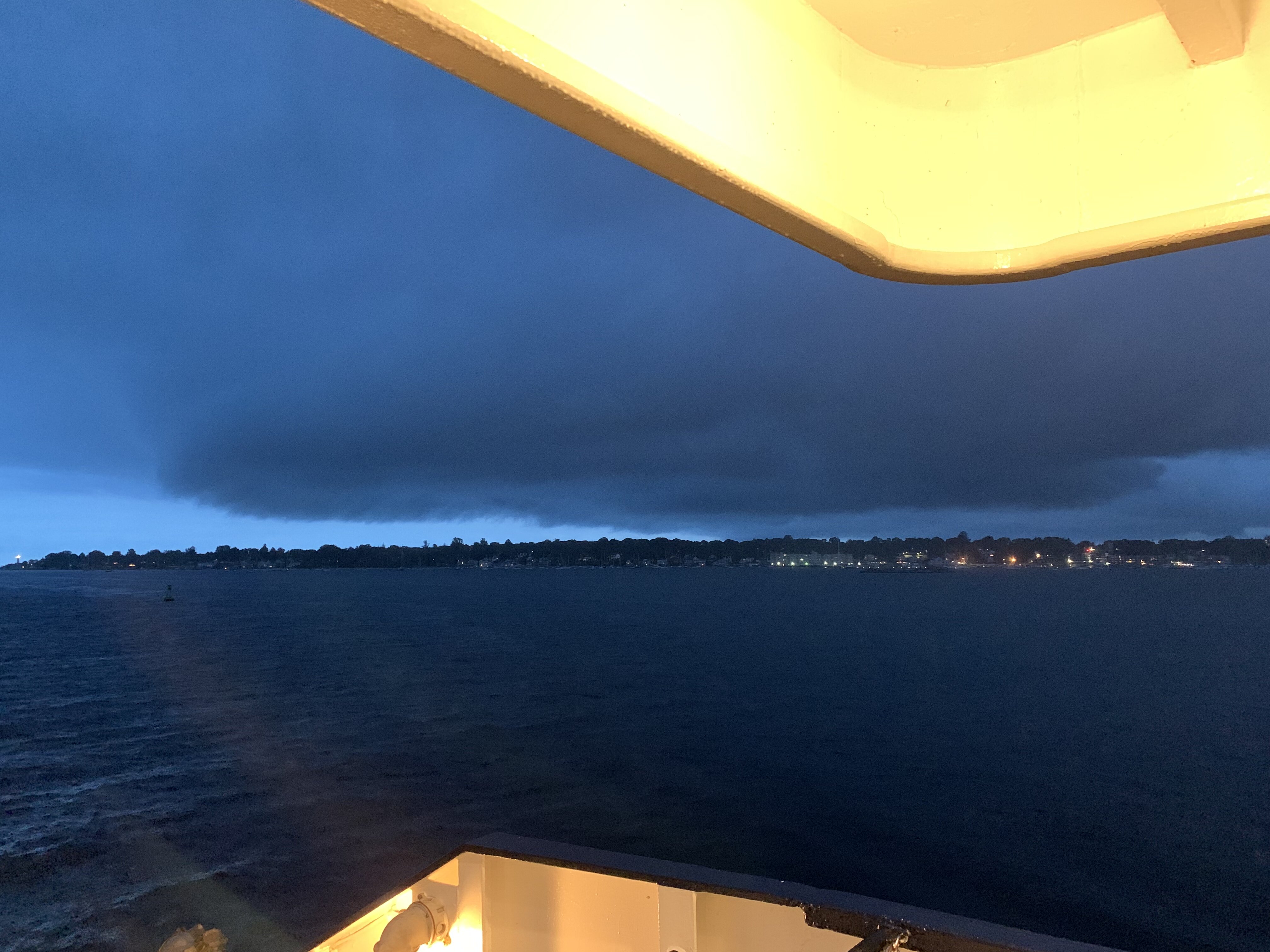
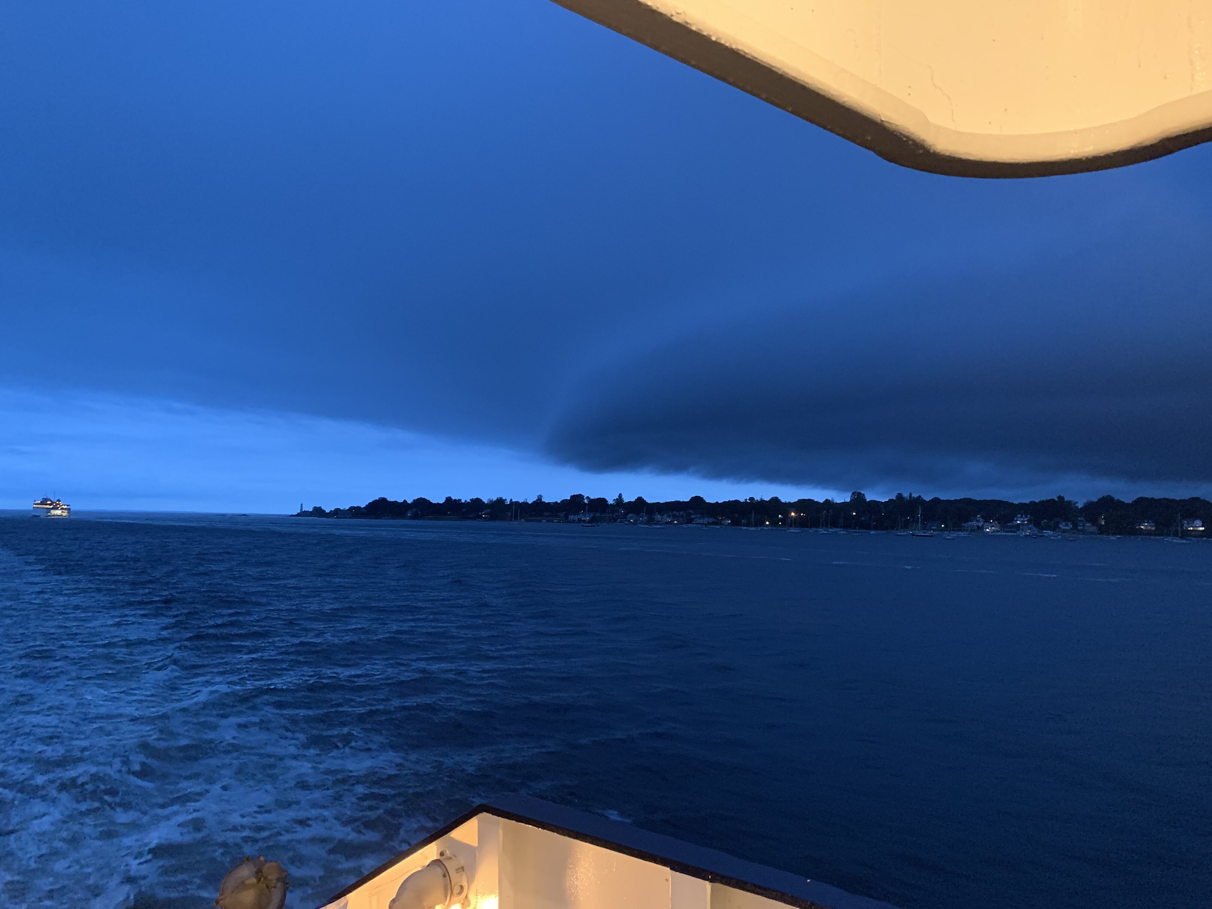
 Pulling into new London port

-
Yea that’s the way I’m strongly leaning. Gonna suck either way. But looks like I can get a break in the heaviest echoes if I go 395, while the worst is building into Providence.
-
Coming back home to Dover NH from eastern Long Island. On the cross island ferry right now, about halfway from new London. Will be arriving in new London in 30 min. Pissed seeing the training and flooding. Not sure if I’m worse off going 395 from new London or through providence on 495.
-
2022 Atlantic Hurricane season
jbenedet replied to StormchaserChuck!'s topic in Tropical Headquarters
The tropics are finally heating up and we have a high amplitude H5 pattern locking in over the CONUS this week. Labor Day weekend plans to be greatly affected. -
The low probs (heavy rain) chances of course have evaporated. Now relying on the higher probs, showers due to the mid levels. Caps us all (ex Maine) around the 0.5” in terms of max rain potential. This was always the way to go outside of the Cape. Does suck knowing that it’s going to take everything to go right for me to get 0.5”. Disappointing…Looks like I’ll have to water again today. The drought prevails.
-
This year has been so boring TC wise that this loop is COD: Satellite and Radar And the NHC will give out lemons to naked cloud swirls in the middle of the Atlantic, but this thing won't even make it into the disco.
-
The hardest part of this forecast is for the cape and islands—how quickly the heavy tropical rains fizzle as this rapidly loses its tropical punch over cold water. The radar echoes over the Atlantic will probably peak intensity right before moving ashore.
-
Have to believe much of the short term uncertainty is due to what degree this system is tropical/warm core. It’s currently developing over an area of SST’s that is supportive of TC genesis. It will remain over marginally supportive SST’s through tonight based on guidance. 6z GFS seems to portray a TD type system/impact into the cape where it then quickly opens up once over cold water. And the vast majority of us get showers associated with the H5 low. Seems reasonable.
-
I'm here for the vegetable garden.
-
Given the depth of that H5 low overhead, I’m expecting a decent rain here Wed. Persistent pop up shower variety but it will add up 0.5”-1”. The problem is this is the only rain threat this week. Ex Maine, and far northern NH, this week looks like a subforum wide drought extender.
-
Looks tropical and active. WAR is flexing. End of stein but not end of summer. Eastern sections of the subforum especially. The H5 pattern opens to tropical system threats as we approach the peak of tropical season.
-
Anything will manage as "relief" behind this extreme. But the later the arrival the more stale the airmass becomes. Most of us will be well in the 80's "behind the cold front" on Wed. And 90's come back to the region by Thurs. It's a front that brings us to Normal for a day, and then we're back +AN. Familiar theme as in recent winters.
-
peaked at 102 index. 98/67. The high dews 73+ are going to sustain into the afternoon and evening today.
-
Not just another. This one has high dews. Heat index already 100 here. Heading to 105-110 range.
-
Anywhere that does not fight clouds is going to be a lot warmer than guidance. An inferno incoming. As you pointed out it’s the classic burst before a fropa; atmospheric conditions look perfect. And this coming at the end of an extremely warm stretch which has effectively cooked the landscape and, SST’s. So we are spectacularly primed for lift off. For SNE the warmest is tomorrow. I happen to be in a spot where I will roast both days. Monday’s setup looks marginally better than Tuesday’s given afternoon cloud risk by me. This time will be all about the heat index.
-
Very Florida like with the afternoon pop up thunderstorms past few days.
-
I may have done poorly to supplement calcium, and compensate for the dryness. Or more likely my tomatoes getting a late start really hurt bc the blossoming coincided with the worst of the heat/drought. You’re doing much better than most. https://www.bangordailynews.com/2022/08/03/homestead/maine-tomatoes-are-rotting-on-the-vine-n6hjn1me0n/
-
Monday looks like the worst heat yet. I’m seeing widespread dews 73-75, while 850’s are cooked. Looks like a heat index 105+ kinda day. Joy.
-
Don’t like this at all. It’s good for the pool, and parking your beach chair right where the water meets the sand. Other than that, it might as well be raining. We’re losing more nice weather days during summer bc of this.
-
Yea I’ve been watering every day just about since June. 30 vegetables plants. Really appreciate how much water they need for yield. I thought having the heat back loaded vs front would be much better for production, but even my tomatoes and peppers, which love high heat have been struggling with producing good fruit. Despite frequent watering, Blossom end rot got about 1/3 my early tomatoes. Learn something new every year.
-
First real Bermuda high this summer and guidance selling a back door.
-
Dews are cranking into early next week. This looks the worst stretch of heat yet.