CAPE
-
Posts
36,843 -
Joined
-
Last visited
Content Type
Profiles
Blogs
Forums
American Weather
Media Demo
Store
Gallery
Everything posted by CAPE
-
0.58" Most moisture here since the snow melted into the soil.
-
Exactly a half inch here too, and still a steady light to moderate rain falling. Should end in the next hour. Much needed.
-
Long season, but the Orioles completely suck right now.
-
Same here on all 3- saw a big black snake slithering across the grass near the firepit. Looked like around 6 ft.
-
82/65 This would be a nice day in late July. In early April, no thanks. Wasp fest happening out there. Looking forward to the Tuesday night freeze.
-
Our summers are basically now 7 months- AMJJASO.. and sometimes into N. We are kind of the inversion of a hyper-continental climate, where Spring and Fall are brief to almost non existent, but instead of long cold winters we get seemingly never-ending summer.
-
Yeah if it makes it into the 70s here today its probably going to be towards the end of the day and brief.
-
46 now with the heat on. Low 80s yesterday with AC on. AC might be back on tomorrow lol. BDCFs are a thing this time of year with HP to the NE. Looking forward to next week, which looks Fall-like with low temps around freezing possible a couple nights. I will be in Rehoboth mid next week. Forecast is sunny with temps in the 50s. Perfect.
-
Its so far out, but it is a pretty good look at this juncture(and it will obv adjust with time)
-
Looks like a basin wide Nino
-
Bring the 50s with lows in 30s next week and fair weather. Early Spring should feel more like Fall. Too soon for 80s.
-
Looks chilly mid-late next week. Temps near/below freezing Thursday AM?
-
83
-
Drinking a voddy tonic, watching the Orioles(lose) and waiting to watch this. I'll take 2 songs for free, Live.
-
Needed rain. Been dry AF here.
-
Warm is gonna win in this pattern, other than any rainy periods. Upper 70s- low 80s. Too warm too early for my liking. Why cant we just do 'normal' in early Spring sometimes lol. Right to late May/Early June weather. Fuck that shit.
-
Low of 26 with frost. It will probably be 8 months until we are this cold again.
-

It's time to grade Winter 2025-26(now that it's actually over)
CAPE replied to CAPE's topic in Mid Atlantic
Climo snowfall varies quite a bit across our region as you know. 20 inches here is a pretty good winter, but not so much for places N&W. That said we probably all should have more "reasonable" (lower) climo standards for what qualifies as a good winter. -
0.15" Been pretty dry here latley.
-
It's time to grade Winter 2025-26(now that it's actually over)
CAPE replied to CAPE's topic in Mid Atlantic
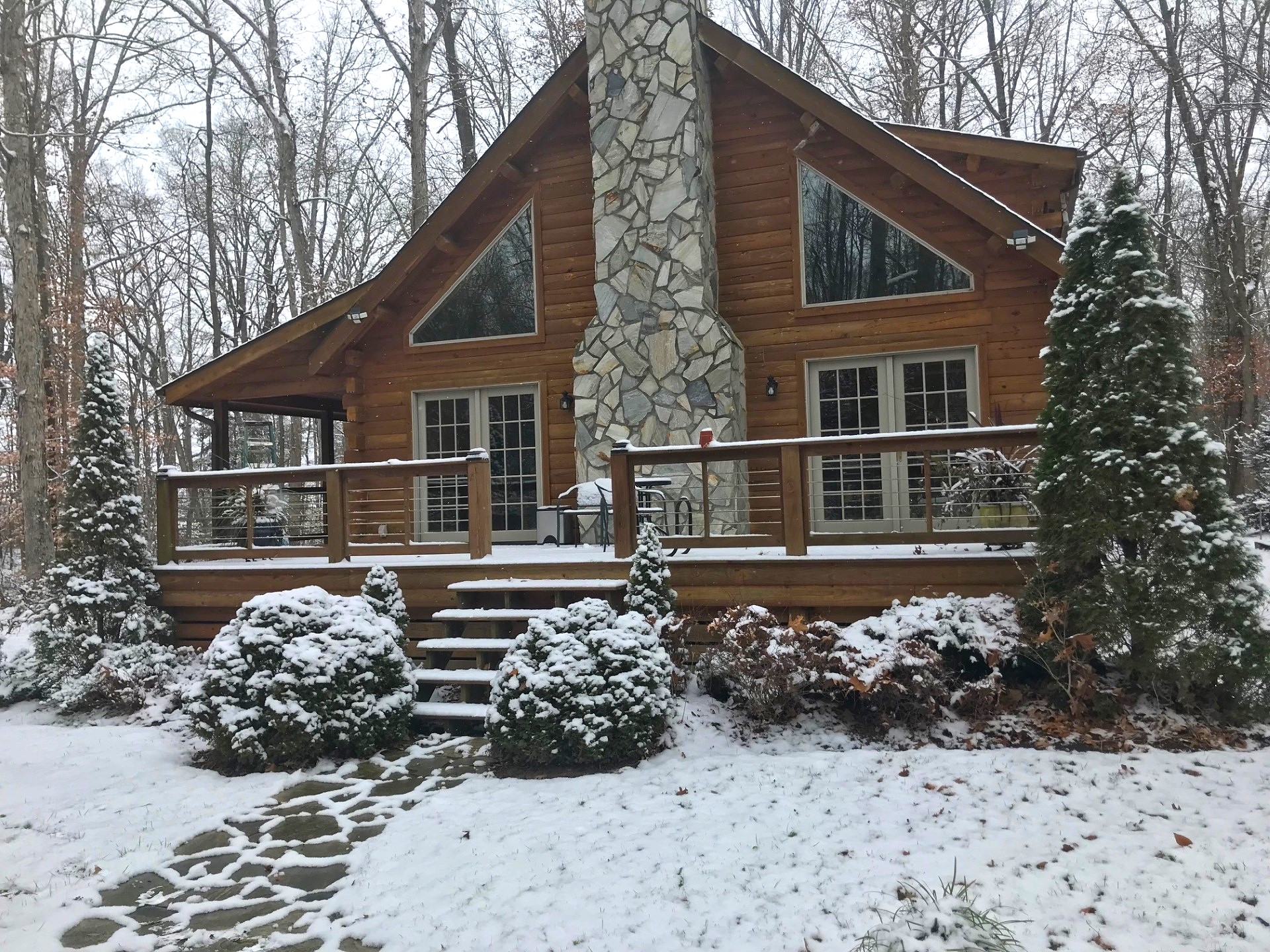
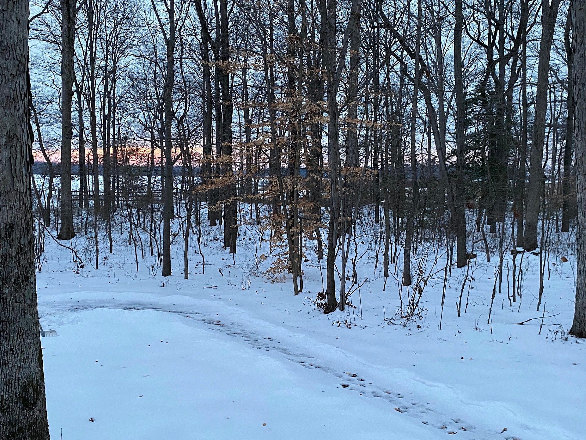
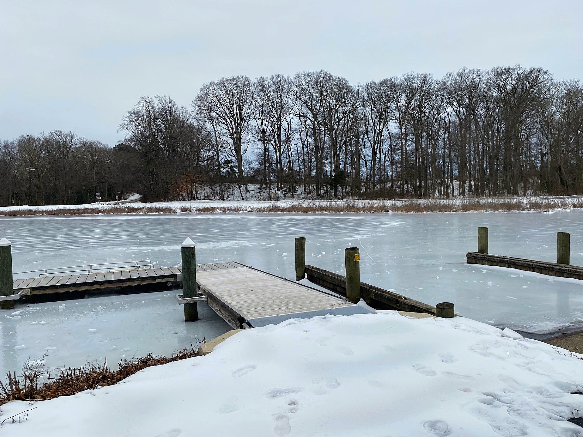
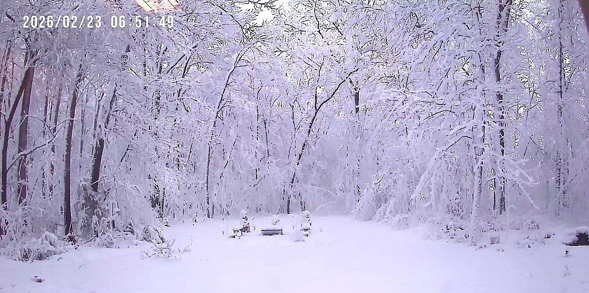
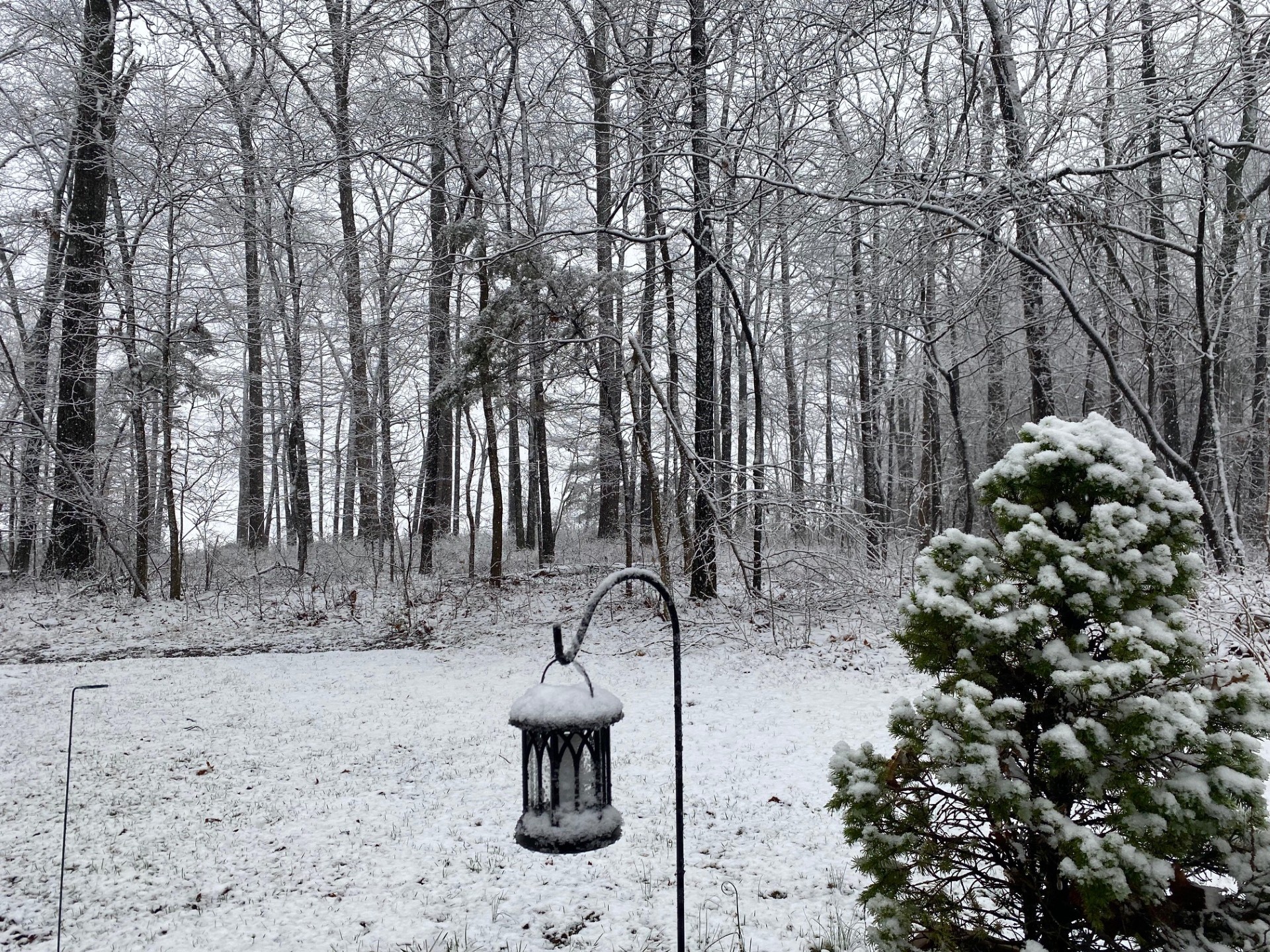
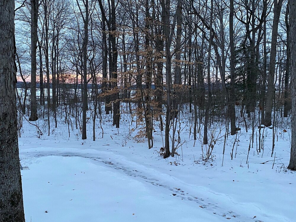
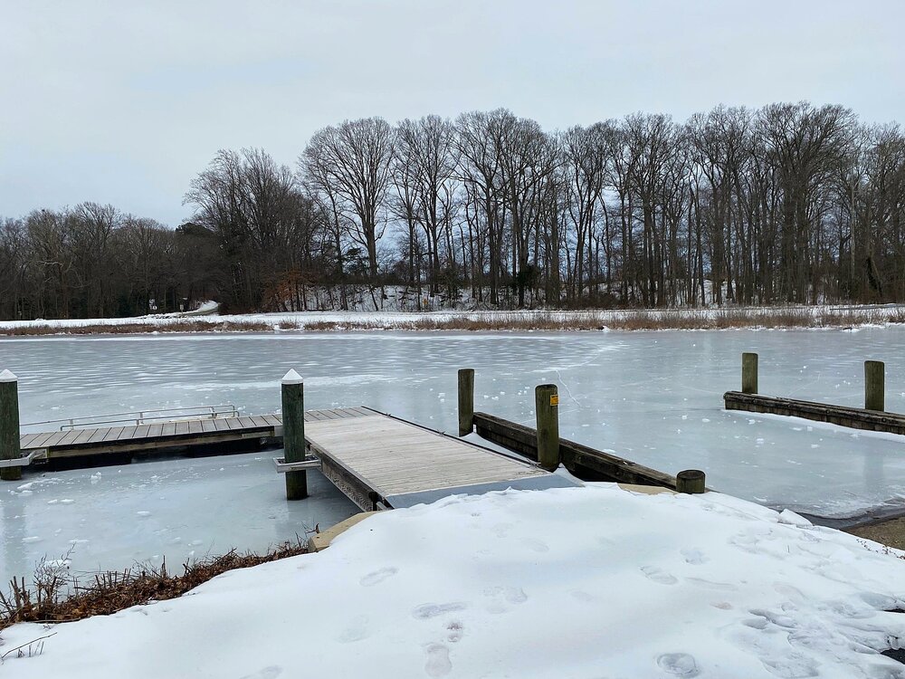
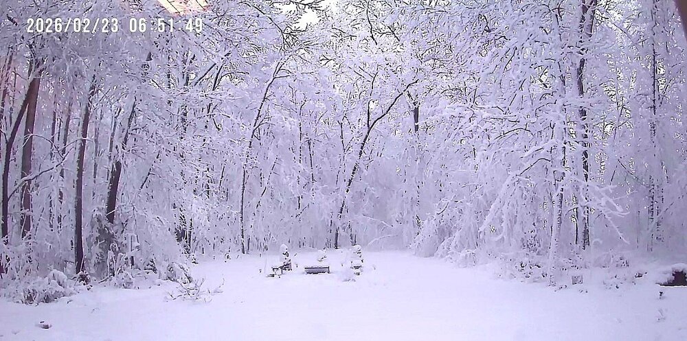
A Cape winter story. It was a pretty impressive winter. First snow in early Dec The glacier storm a week after it fell Tuckahoe in early Feb Late Feb storm The late day March snow after a morning high of 70
- 54 replies
-
- 15
-

-
It's time to grade Winter 2025-26(now that it's actually over)
CAPE replied to CAPE's topic in Mid Atlantic
Cant argue. Last winter was a good one with 2 6"+ snowstorms(both all snow) and had snow otg for 2 weeks or so in Jan. I was just above climo here. Our area has a had a pretty nice run overall since the 2016 Nino. A couple lean winters plus the ratter mixed in. -
It's time to grade Winter 2025-26(now that it's actually over)
CAPE replied to CAPE's topic in Mid Atlantic
It snowed in D,J,F,M. Brutal cold period after the glacier. 3 weeks with snow/ice cover- that period ending up bone dry was the one nitpick. The Feb storm topped it off with 10". Over climo with 22.7"- and my measurements are usually low because I typically measure what's otg as I am often not home during the whole storm. (There was a report from an EM in Greensboro of 14" in the Feb storm). Anyway.. A- Had there been even a modest 2-4" snow event on top the Glacier I probably would have gone with a perfect score. -
This winter was impressively cold overall, but some/much of that cold was wasted. Some areas did well with frozen precip opportunities wrt climo, others not so much. Time to grade it.
-
Some are likely shopping for a new computer, printer, TV, etc today. Happened to my parents last summer with an explosive nearby strike. Unplugging is a good idea when prolific lightning is expected as it removes the physical path for electromagnetic surges.
-
Or high humidity lol