CAPE
-
Posts
36,270 -
Joined
-
Last visited
Content Type
Profiles
Blogs
Forums
American Weather
Media Demo
Store
Gallery
Everything posted by CAPE
-

Winter Storm Threat *Technical* Discussion. No Op Run PBP or Snow maps
CAPE replied to CAPE's topic in Mid Atlantic
So much of what ultimately occurs hinges on wave timing. Its always the case but especially with a busy NS and lacking a true NAO block. It all works out pretty nicely on this run. -
Winter Storm Threat *Technical* Discussion. No Op Run PBP or Snow maps
CAPE replied to CAPE's topic in Mid Atlantic
Correct. All are welcome, just want it free of complaining and emotional breakdowns after every run that has an undesirable outcome. Drama free, and no random posts of maps without explanation. No snow maps until guidance agrees on a storm. -
Winter Storm Threat *Technical* Discussion. No Op Run PBP or Snow maps
CAPE replied to CAPE's topic in Mid Atlantic
12z GFS pretty much does it. A significant and sharp shortwave, coastal low, facilitated by the Central Canada/Hudson ridge and well timed 50-50 with surface HP where we need it. Just like the old days where this setup could snow in the MA. -
Winter Storm Threat *Technical* Discussion. No Op Run PBP or Snow maps
CAPE replied to CAPE's topic in Mid Atlantic
Agreed. Only chance here is something like the EPS has but in that case the low is weaker and there still isn't enough cold. Might be a rain snow mix/snow tv. Would need an ideal track and a more significant low. -
Winter Storm Threat *Technical* Discussion. No Op Run PBP or Snow maps
CAPE replied to CAPE's topic in Mid Atlantic
Recent cycles have ejected significant energy and the outcome in those cases has been a low cutting west/ Miller B. 6z GFS does the latter, but the coastal gets going at our latitude. Still a range of possibilities imo. Timing with energy moving into/through the 50-50 region is also going to be a key factor in the outcome. Everything is on the move. -
Winter Storm Threat *Technical* Discussion. No Op Run PBP or Snow maps
CAPE replied to CAPE's topic in Mid Atlantic
0z EPS- The primary energy ejecting from the SW does pop a low along the Gulf coast and moves off the NC coast. It gets some precip into the MA on the mean. Cold looks marginal but interior areas at elevation might be in a good spot should precip make it there. Just beyond that it looks mild with a temporary ridge over the east. Then we shall see about the potential around the 20th or so. -
February 2026 Medium/ Long Range Discussion: 150K Salary Needed to Post
CAPE replied to Weather Will's topic in Mid Atlantic
There is a drama free thread where we discuss the nuts and bolts of the pattern and possible outcomes, with no judgment or emotional silliness. -
Love their early stuff, esp this one.
-
Winter Storm Threat *Technical* Discussion. No Op Run PBP or Snow maps
CAPE replied to CAPE's topic in Mid Atlantic
And other rational, smart people who choose to join in. But I'm good talking to myself lol. -
Temp has been around 17 since early this morning. Was 20 at 6am. The high temp is probably 30 which occurred just after midnight prior to the Arctic front.
-
Winter Storm Threat *Technical* Discussion. No Op Run PBP or Snow maps
CAPE replied to CAPE's topic in Mid Atlantic
18z GFS crushes the initial wave as the NS vortex digs too far south and exits, then the unfavorable Pacific takes over. The HP from the initial NS confluence exits stage right with no NA blocking, and the result its a cutter with mostly rain. Just one of many possible outcomes. Only a week to go! -
Glad to see the forecast of 55-60 mph winds hasn't verified. Not even close by my estimation. Maybe 40-45? eta: just checked Ridgely Mesonet- Max gust 45.7 mph
-
Usually get some great snow devils here with all the wide open fields, but the glacier with no additional snow on top prevents that. Also prevents the blowing and drifting from making a continuous mess of the roads.
-
February 2026 Medium/ Long Range Discussion: 150K Salary Needed to Post
CAPE replied to Weather Will's topic in Mid Atlantic
Its Miller B-ish. Would like to see the secondary further south, but ofc we have an eternity for the models to correct their errors. -
Winter Storm Threat *Technical* Discussion. No Op Run PBP or Snow maps
CAPE replied to CAPE's topic in Mid Atlantic
$12,500 -
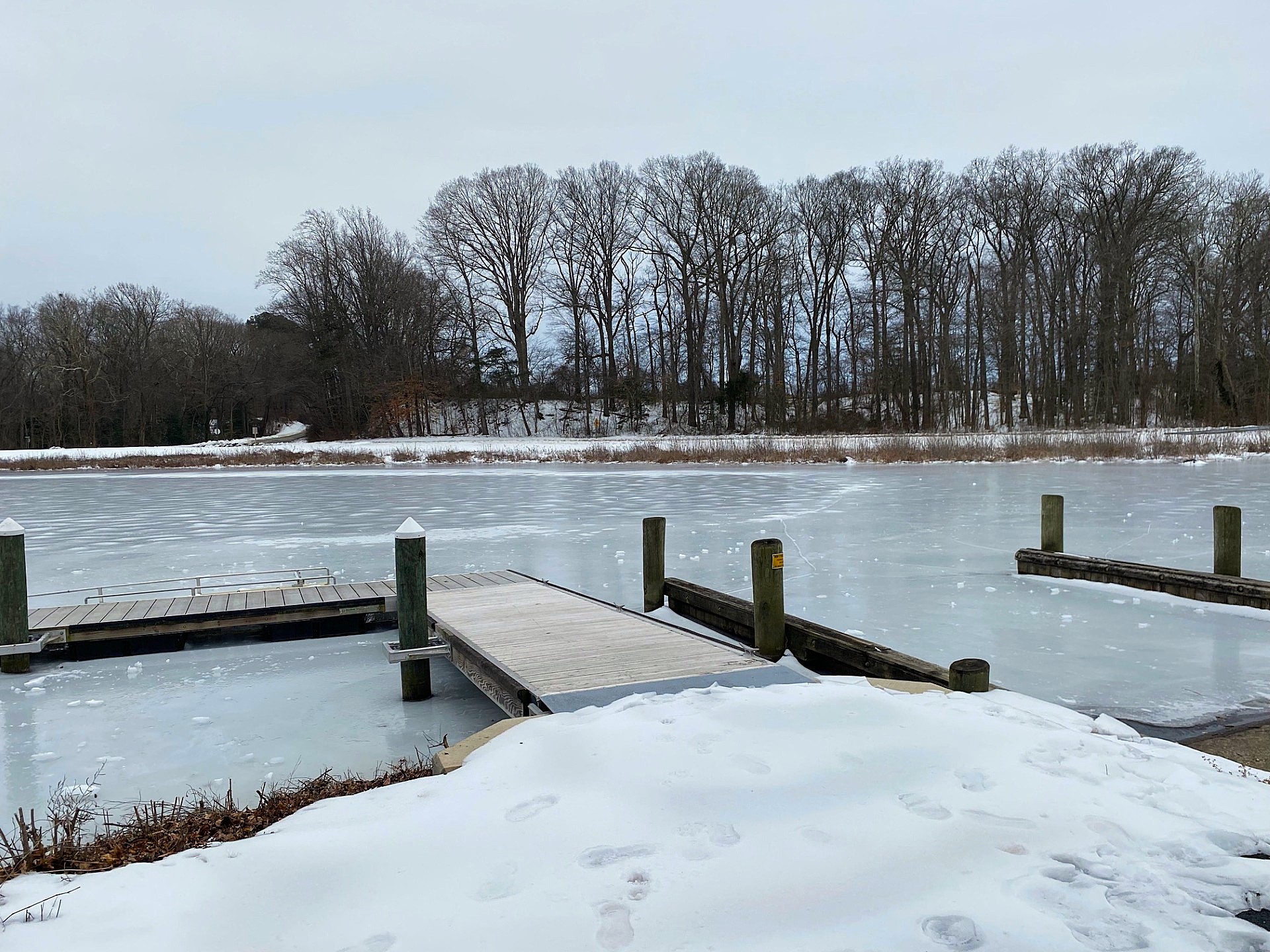
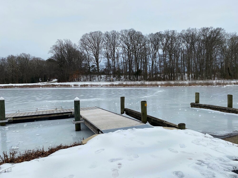
Took this at Tuckahoe yesterday.
- 44 replies
-
- 10
-

-
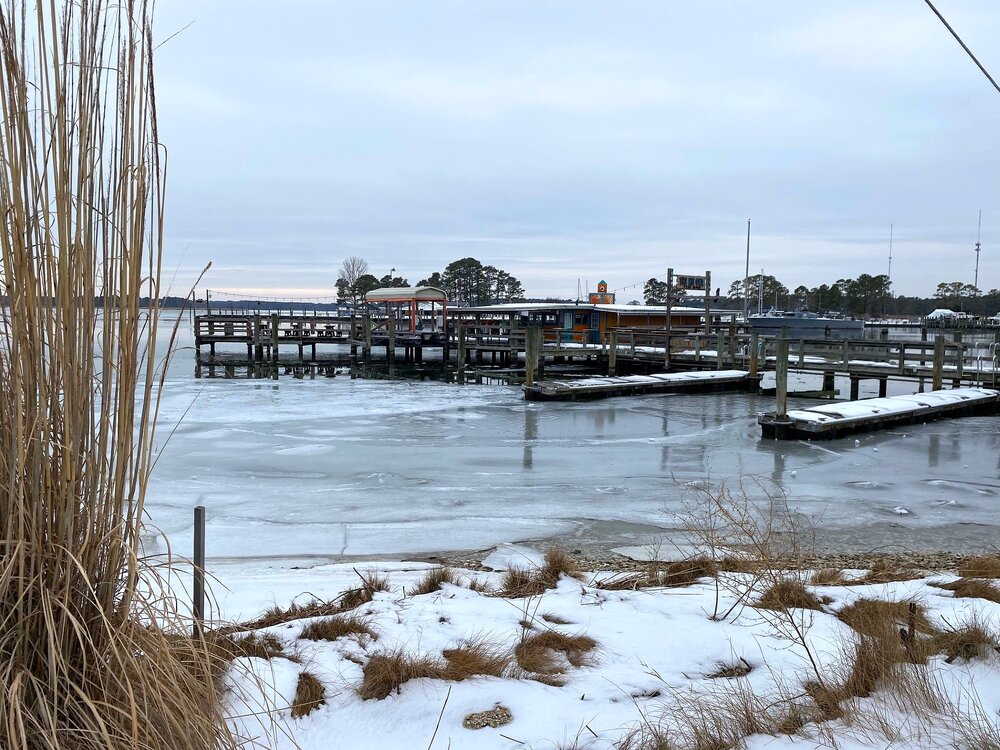
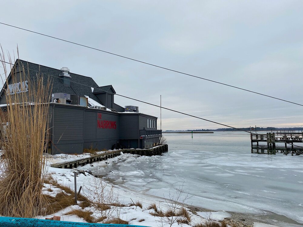
A couple shots from Kent Narrows.
-
Winter Storm Threat *Technical* Discussion. No Op Run PBP or Snow maps
CAPE replied to CAPE's topic in Mid Atlantic
I agree. The cold is very dependent on the NS wave train as vortices in the flow move through the 50-50 region. We don't have a typical NAO Rex block with a quasi-stationary/closed (50-50) low underneath a poleward ridge, so the confluence is fleeting. -
February 2026 Medium/ Long Range Discussion: 150K Salary Needed to Post
CAPE replied to Weather Will's topic in Mid Atlantic
Snow maps galore. 50 miles east or west or north or south. A week out lol. Back to the other thread. I would rather talk to myself. -
Winter Storm Threat *Technical* Discussion. No Op Run PBP or Snow maps
CAPE replied to CAPE's topic in Mid Atlantic
12z EPS has the same general idea as the op with this 'frontrunning' midwestern wave Friday into early Sat- Then here later with energy ejecting from the SW. They don't play well together like the op. That said there is some precip for our area on the mean. Still a week out and given the likely errors with wave timing at this point, it will evolve/morph into something else. -
Winter Storm Threat *Technical* Discussion. No Op Run PBP or Snow maps
CAPE replied to CAPE's topic in Mid Atlantic
We are relying on the NA, but there isn't really a true block to slow the flow, so timing really is critical with these features. -
Winter Storm Threat *Technical* Discussion. No Op Run PBP or Snow maps
CAPE replied to CAPE's topic in Mid Atlantic
Yeah the GEFS. EPS comes out slow on WB, but the 6z EPS was even better than the GEFS- had a bit of a suppressed look which I will take at this range. -
Winter Storm Threat *Technical* Discussion. No Op Run PBP or Snow maps
CAPE replied to CAPE's topic in Mid Atlantic
Gonna be a cutter on the 12z ens mean. Was more of a Miller B at 6z. -
Winter Storm Threat *Technical* Discussion. No Op Run PBP or Snow maps
CAPE replied to CAPE's topic in Mid Atlantic
Pretty good synopsis. -
Winter Storm Threat *Technical* Discussion. No Op Run PBP or Snow maps
CAPE replied to CAPE's topic in Mid Atlantic
Good look on the 12z GEFS leading into the potential weekend storm. Energy in the 50-50 region is in a good spot with surface HP underneath in the convergence/confluence zone. Energy is ejecting from the southwest with surface low development.