CAPE
-
Posts
36,846 -
Joined
-
Last visited
Content Type
Profiles
Blogs
Forums
American Weather
Media Demo
Store
Gallery
Everything posted by CAPE
-
14 currently. Not sure it gets out of the teens today without any sun.
-
That would be better, but a favorable Pacific can deliver as long as it doesn't get completely hostile up top. GEFS has the AO trending closer to neutral around the end of the month.
-
Yes that part looks fine. As depicted it is not a bad pattern. See where it goes moving forward. Improvement in the PDO plus a late developing weak Nina (probably trending towards neutral late winter) might bode well.
-
Look at the Louisiana webcams and live vicariously. 6-8" with blizzard conditions.
-
This look isn't great but its workable, with a -WPO and close to neutral EPO, TPV in a good spot, and despite a +AO/NAO. Still a mechanism to deliver some cold at times. Just have to time a wave when the cold presses the gradient southward.
-
National Weather Service Lake Charles LA 600 AM CST Tue Jan 21 2025 ... New AVIATION... .SHORT TERM... (Today through Thursday night) Issued at 429 AM CST Tue Jan 21 2025 Observations coming into the WFO this morning indicate that several locations along the coast have been gusting to 35 MPH along with visibilities in the 1/2 1/4 mile range in heavier snow bands. As a result, we`ve opted to issue what is, to this forecaster`s knowledge, the first blizzard warning ever issued by this office for Jasper and Orange counties as well as Cameron, Calcasieu, Jeff Davis, Acadia, Lafayette and Vermilion parishes.
-
Low of 9 Saw a 7 while driving a mile or so from my house out in an open area.
-
Or intentionally seeking out disinformation that supports an agenda.
-
12 here at 1020 pm Bedtime
-
Pretty much. Slow period in the snow tracking dept.
-
Early resistance based sensors were connected to a Wheatstone bridge. 4 wire RTDs connected to a constant current source are ideal especially when lead wire is significant. Results in zero error. Modern electronics accept 2, 3, or 4 wire connections with current source(s) for excitation, and measure the voltage as a function of resistance. From there the signal goes into an ADC.
-
I think we are ok as long as we have a pattern that brings Arctic or Continental Polar air southward. Too much Maritime polar air that moderates as it moves southward is more iffy. So yeah, we need a -AO and/or a -EPO.
-
Reduced to chasing snowstorms in Florida
-
I teach a course in instrumentation, including temperature measurement(one of my favorite topics)- sensor types, accuracy, tolerance, and calibration. NBS has been around since 1901. Thermometers in the early 1900s were as accurate as a tenth of a degree-plenty good enough for weather purposes. Platinum RTDs are used today in most cases for temperature measurement for industrial applications and weather, but require electrical/electronic circuits to measure the resistance change with temperature. Accuracy varies, and in some cases may be worse than the early thermometers.
-
I'm just over 11. Not sure what climo is anymore lol. Long term mean here is 18.5. But yes, deep winter. Not seen this since the 2013-14 and 14-15 winters. Jan 22 was snowier with the 3 storms totaling almost 20" here, but wasn't quite this cold.
-
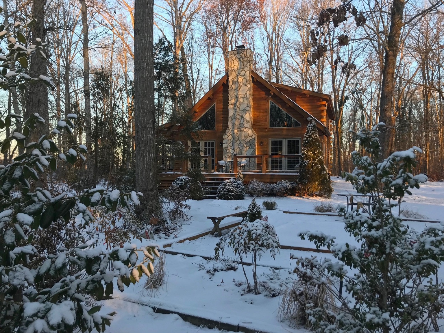
Here ya go. Obligatory cabin in the snow pic.

-
Temp down to 12.5 at 730
-
14 this morning
-
1/19/25: 0.6" Total: 11.1"
-
Its everything together. Lamar needed to eat that ball on the bad snap. Andrews cant fumble on that pass play. He should have caught that pass for the conversion, but they would have been kicking an extra point there to tie the game if Harbaugh was more sensible earlier.
-
Feel so bad for Andrews. Dumb Harbaugh will never learn to go for 2 WHEN YOU NEED TO GO FOR 2
-
Sure would be nice if it was 27-20 right now.
-
How about just kicking the extra point there and making it a one point game?
-
Defense also has to step up. They are getting run on and putting no pressure on Allen. They must get a stop on the opening drive in the third quarter.
-
Defense is soft. Bad turnover by Lamar. After the bad snap just go down there instead of trying to make something happen. Buffalo lost to the Bengals and Chiefs at home in the playoffs the last 2 years. They look determined.