CAPE
-
Posts
36,283 -
Joined
-
Last visited
Content Type
Profiles
Blogs
Forums
American Weather
Media Demo
Store
Gallery
Everything posted by CAPE
-
-
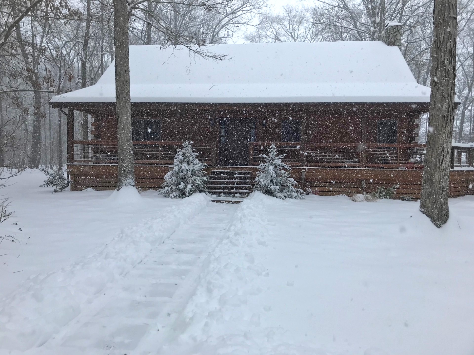
Intermittent light snow now. Temp up to 27. Just under 8" here so far. A chance for double digits if the UL low has some vigor when it comes though.
-
Thought I was getting into a significant lull an hour ago but the way the radar is filling in might avoid it here. Steady light to moderate snow continues.
-
Into another heavy band now. Living on the back edge here but seems to be redeveloping a bit.
-
Back to a steady light snow after a brief lull. Went out and shoveled the front walk and cleared a path to the Jeep. Snow is pretty light. Easy work.
-
That's happening here now. 1.5" in the last hour. Right at 7"
-
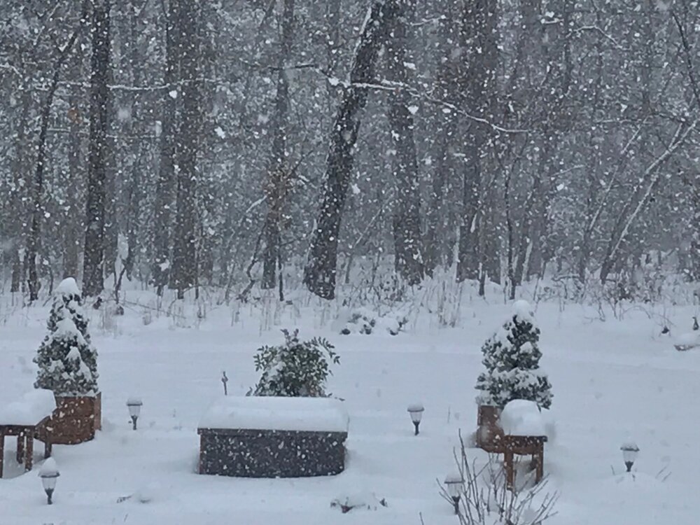
Firepit area
-
Heavy snow now with large fluffy dendrites under these yellow radar returns.
-
5.5" Looks like a heavier band about to come through. See what it does.
-
Moderate snow with bigger flakes now.
-
First official measurement 4.7"
-
23 with moderate snow. Just a beautiful morning. 4+ out there. Eyeing those yellows on radar to the SW. Most of that may slide to my south.
-
-
With the cold temps every one of these smallish flakes count.
-
23 with a steady light snow falling at 6am. Started here a little after 1am. Looks like around 3" so far.
-
-
Darnold is off tonight I'm guessing. Haven't really seen him play much this year but given their success he must be a lot better than this.
-
28/7 Probably 5 hrs or so for first flakes here.
-
A bit offshore on the ens mean
-
Loaded
-
What kind of weenie am I posting a 10:1 map lol
-
30.5 lol
-
I did lol. Got the leaf blower out to clear the random leaves that blew back from the woods too.
-
Interesting snippet from their afternoon AFD- As far as the storm, It is currently located near Arkansas with banded F-Gen driven heavy snow located north and east of its center towards the midwestern states. In terms of overall trends in the forecast as far as how it will affect the mid Atlantic, there continue to be some differences in our forecast guidance regarding the exact track and evolution of system. Generally speaking, global guidance weakens the banding a lot more as it approaches the area and has heavier precip amounts farther south compared to the Hi-res guidance. Our forecast leans more towards the higher QPF of the hi-res guidance but has it shifted slightly south a little more towards the Global guidance. This is based on overall trends and reports from how the system is evolving upstream.