CAPE
-
Posts
36,846 -
Joined
-
Last visited
Content Type
Profiles
Blogs
Forums
American Weather
Media Demo
Store
Gallery
Everything posted by CAPE
-
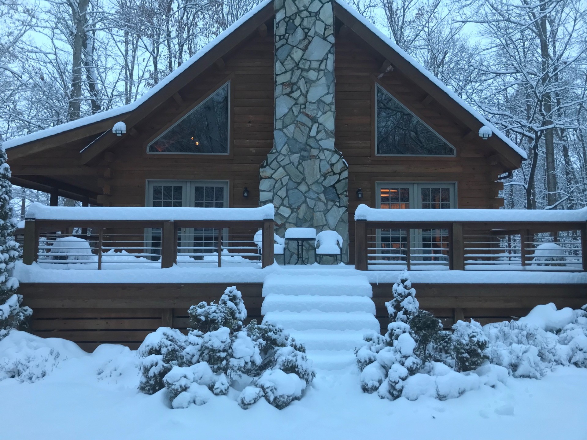
1/6/25: 9.3" 1/11/25: 1.2" 1/19/25: 0.6" 2/11/25: 8.5" Total: 19.6" Over climo now and slightly more than Jan 22(19.4") which was the total for that winter.
-
A bit of a visual overestimate. I went out and measured before starting to shovel off the deck. 8.5". That is some pretty heavy snow. It was 30 when snowing, temp up to 31 now.
-
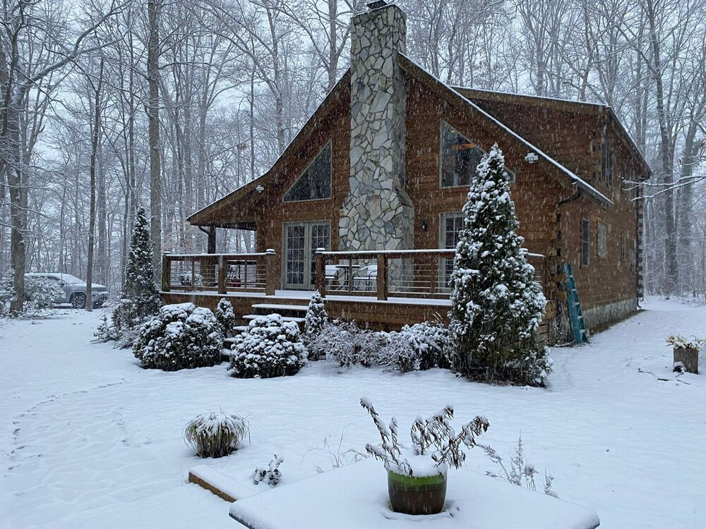
Its pretty now. Lots of shoveling to do before it gets too wet and heavy. Not looking forward to the half inch of rain that will fall into it later. Then more rain this weekend. My driveway is going to become a mess.
-
At least 9" here. I will measure in a few spots. Obv there is compaction but I didn't do the snowboard thing so I will report what's otg.
-
Centreville or Denton probably 2 that have records going back far enough. And Easton ofc. Not sure about southern DE, but that is the location that has done the best overall in these patterns since 2016. I have a feeling this may be a relatively new occurrence. Be interesting to know.
-
6.8" Steady light to moderate snow continues to fall.
-
4.5" Some moderately big dendrites under these yellow returns.
-
Coming down heavy with big flakes now.
-
Took this earlier while getting some wood for the fire.
-
Moderate snow with bigger flakes now. Some yellow banding just to the SW. 2.5"
-
Sun peaking through and 37F 4 hrs before start time is always a precursor for disaster.
-
Similar yes. Beginning of the storm had intensely falling smallish flakes. Eventually got into some heavy bands with large dendrites. Around 2" here so far.
-
Just drank a 90 min IPA. An old fashioned sounds good. Might do me one.
-
31 with steady light to moderate snow. All surfaces covered. 0.7"
-
Moderate snow now. Nice flake size. Falling straight down. Trees are pretty again.
-
32.5 with steady light snow. Getting close to moderate. Stickage has started.
-
Eff that mess. Feb 2010 like. Either one.
-
18z NAM sure is wetter.
-
Light snow has begun here.
-
Snippet from Mount Holly early afternoon update- .NEAR TERM /THROUGH TONIGHT/... Overall, the near term forecast remains on track as low pressure continues tracking east into the Deep South this afternoon. As it does so, this low will transfer its energy to a secondary low will form off the coast of North Carolina early this evening. This secondary low will track off the coast of the DelMarVa later on tonight. Overruning precipitation has begun to develop out ahead of the low and move northward into DelMarVa. Temperatures are now above freezing for most locations early this afternoon. However, with dew points still in the teens, wet-bulb temps remain at or below freezing across most of the region. Therefore, as precipitation saturates the boundary layer, surface temperatures will cool and snow is still expected at the onset this afternoon. Light to moderate snow will gradually progress northward through the the rest of the afternoon and into the evening from southwest to northeast, ultimately reaching the northern portions of the area by mid to late evening. Periods of heavy snow will be possible over the DelMarVa and portions of southern New Jersey this evening into tonight as well. This is supported quite well in some of the hi- res guidance which depicts a strong area of frontogenesis near 850 mb early this evening.
-
HRRR lookin pretty damn good to me.
-
Its way out there, but the general h5 look with cold entrenched implies a slightly offshore track vs just inland or tucked.
-
As depicted this window looks promising for a potential coastal storm with ample cold in place.
-
Still spread wrt timing obv, but this panel captures the flavor. Members favoring coastal tracks for the most part.