yoda
-
Posts
63,386 -
Joined
About yoda

- Birthday 09/30/1986
Recent Profile Visitors
21,574 profile views


-
Can't wait Morning ZFP from LWX for DC metro for next week WEDNESDAY...Sunny, hot with highs in the upper 90s. .WEDNESDAY NIGHT...Partly cloudy. Lows in the upper 70s. .THURSDAY...Sunny, hot with highs around 100. Heat index values up to 110.
-
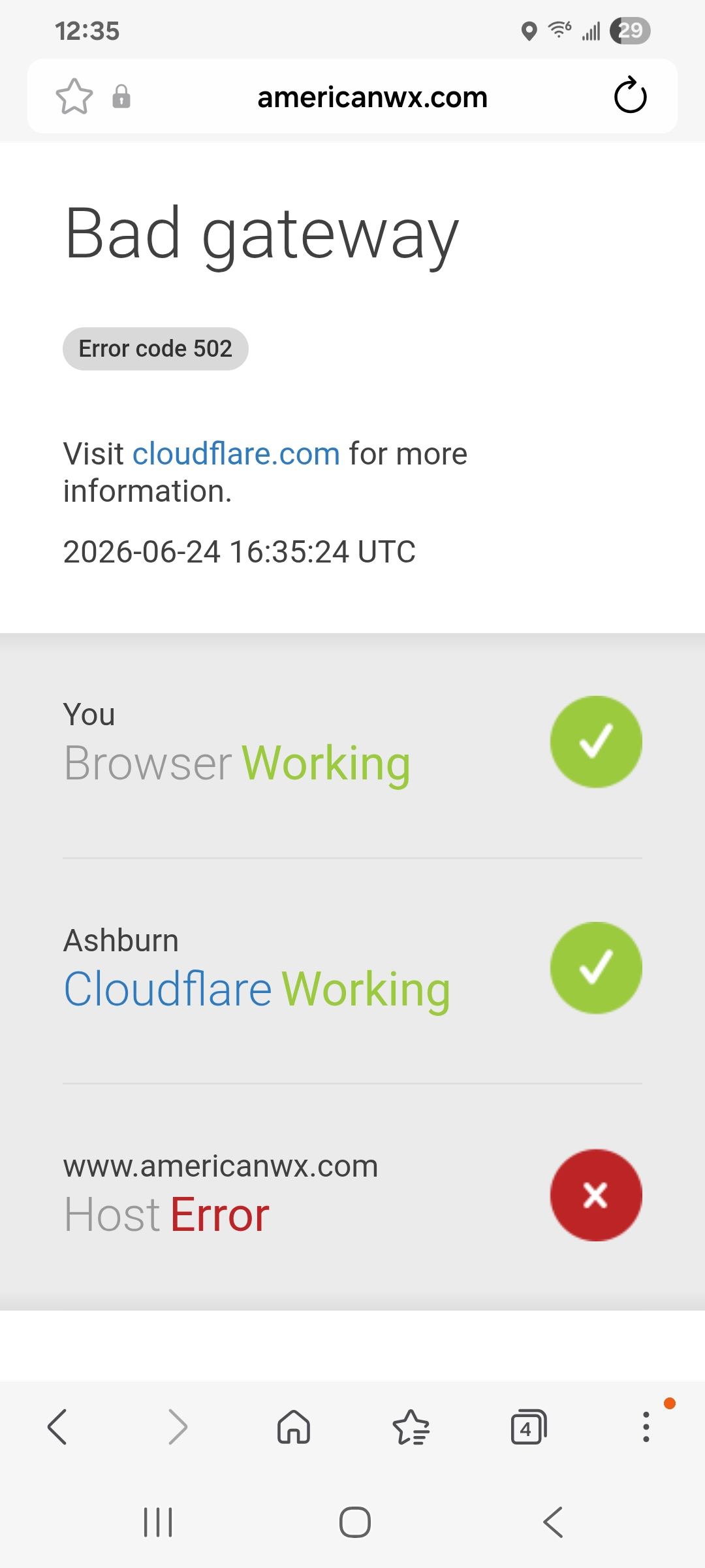
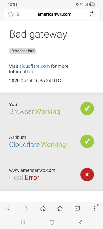
Same here since this morning.. got 4 cloudflare 502 error message in past 10 minutes. Says bad gateway and that the problem is with the host website @dendrite
-
Looks like a quick line coming soon for you
-
Power is out at work lol... just chilling and waiting
-
Looks like the line in i81 corridor is strengthening a bit
-
Mesoscale Discussion 1253 NWS Storm Prediction Center Norman OK 1225 PM CDT Mon Jun 22 2026 Areas affected...portions of the central Appalachians into the Mid-Atlantic Concerning...Severe potential...Watch likely Valid 221725Z - 221930Z Probability of Watch Issuance...80 percent SUMMARY...Thunderstorms will increase in coverage and intensity over the next couple of hours. Scattered damaging wind gusts, isolated hail and perhaps a tornado will be possible through evening. A severe thunderstorm watch will likely be needed by 19z. DISCUSSION...Thunderstorms over the higher terrain of WV and vicinity are gradually increasing in intensity this afternoon as gradual destabilization occurs. Downstream from higher terrain across portions of VA into MD/DE, southern NJ and southeast PA, stronger heating is occurring within areas of mostly clear skies. Higher quality moisture across eastern VA has been streaming northward toward southeast PA/southern NJ and ensuing stronger destabilization is noted. Enhanced westerly flow is apparent in early afternoon mesoanalysis and 12z regional RAOBs. This should allow for sufficient deep layer shear for storm organization. Thunderstorm clusters will pose mainly a risk of damaging wind gusts given steep (greater than 7.5 C/km) 0-3 km lapse rates and PW values around 1.75 inches. Some forecast guidance suggests sufficient clustering/outflow consolidation may occur in the vicinity of northern VA/MD and a forward propagating cluster/bowing segment could develop and track northeast with time toward southeast PA/NJ. This corridor aligns with the corridor of stronger midlevel westerlies, and may pose a relative greater severe risk compared to points further south into southern VA and NC where flow is weaker. If this scenario unfolds, damaging wind potential will increase. Given modest 0-1 km SRH across the region, a tornado or two also could occur, though the damaging wind risk is expected to be the primary hazard into early evening. ..Leitman/Hart.. 06/22/2026 ...Please see www.spc.noaa.gov for graphic product... ATTN...WFO...PHI...AKQ...CTP...LWX...RAH...RNK...PBZ...RLX... GSP...MRX...JKL... LAT...LON 40497808 40747686 40807597 40757507 40587476 40047426 39677428 38847474 38197525 37847570 37297702 36447933 36097997 35748149 35858253 36268338 36608350 36928354 37748308 38378233 39148140 40177908 40497808 MOST PROBABLE PEAK TORNADO INTENSITY...UP TO 90 MPH MOST PROBABLE PEAK WIND GUST...55-70 MPH MOST PROBABLE PEAK HAIL SIZE...UP TO 1.25 IN
- 870 replies
-
- 2
-

-

-
- severe
- thunderstorms
- (and 7 more)
-
Watch coming by 3pm
-
DCA at 00z Tuesday 12z NAM
- 870 replies
-
- 4
-
-

-
- severe
- thunderstorms
- (and 7 more)
-
12z NAM soundings would definitely suggest potential for tornadoes tomorrow afternoon into tomorrow night IMO
- 870 replies
-
- 2
-
-
- severe
- thunderstorms
- (and 7 more)
-
SLGT risk up for Monday on afternoon Day 3 @high risk @Kmlwx @Eskimo Joe ...Mid-Atlantic... Areas of showers and thunderstorms are expected to be ongoing Monday morning across the lower Great Lakes/upper OH Valley region. Ahead of that convection, a southwesterly low-level jet is forecast to migrate through the Mid-Atlantic, enhancing the poleward transport of an increasingly moist and unstable boundary layer. Increasing height falls/forcing for ascent coupled with convergence near and ahead of the surface low, cold front, and any existing outflow boundaries are expected to foster an increase in storm coverage and intensity by afternoon. Strengthening mid-level flow aloft will combine with backed, near-ground winds ahead of the surface low to enhance vertical shear across the DelMarVa region, supporting the potential for supercell storm modes capable of all severe-weather hazards.
-
Day 3 morning SPC OTLK for Monday... ...Carolinas to the Mid-Atlantic... A moist airmass will move into the Carolinas and Mid-Atlantic on Monday ahead of an eastward moving cold front. Mid-level lapse rates will be weak which will limit overall instability, but moderate shear and sufficient instability, combined with steep low-level lapse rates will support some damaging wind threat Monday afternoon/evening. In addition, a smaller area of greater low-level shear may exist closer to the surface low across northern Virginia and vicinity, which could have a localized region of greater tornado threat.
-
Looks like Monday maybe?
-
Sun is coming out quickly here
-
40/20 tor probs, 70/30 wind
-
URGENT - IMMEDIATE BROADCAST REQUESTED Tornado Watch Number 352 NWS Storm Prediction Center Norman OK 1000 AM EDT Thu Jun 18 2026 The NWS Storm Prediction Center has issued a * Tornado Watch for portions of Western Massachusetts Central and Eastern New York Vermont * Effective this Thursday morning and afternoon from 1000 AM until 300 PM EDT. * Primary threats include... A couple tornadoes possible Scattered damaging winds likely with isolated significant gusts to 80 mph possible SUMMARY...A line of fast-moving thunderstorms will sweep eastward across the watch area through the early afternoon, posing a risk of damaging winds and a few tornadoes. The tornado watch area is approximately along and 60 statute miles north and south of a line from 35 miles northwest of Elmira NY to 25 miles east of Montpelier VT. For a complete depiction of the watch see the associated watch outline update (WOUS64 KWNS WOU2). PRECAUTIONARY/PREPAREDNESS ACTIONS... REMEMBER...A Tornado Watch means conditions are favorable for tornadoes and severe thunderstorms in and close to the watch area. Persons in these areas should be on the lookout for threatening weather conditions and listen for later statements and possible warnings. && OTHER WATCH INFORMATION...CONTINUE...WW 349...WW 350...WW 351... AVIATION...Tornadoes and a few severe thunderstorms with hail surface and aloft to 0.5 inches. Extreme turbulence and surface wind gusts to 70 knots. A few cumulonimbi with maximum tops to 400. Mean storm motion vector 26040.