All Activity
- Past hour
-
Ack killing it Euro 27th
.png.41e00c09dd67116d157c8427a368bdb7.png)
-

Feb 22nd/23rd "There's no way..." Obs Thread
Eskimo Joe replied to Maestrobjwa's topic in Mid Atlantic
Go Baltimore band go! -
Hrrrr says most of us are getting another 12-15….
-
Definitely blizzard conditions outside
-
Crawling
-
2/23 5z hrrr through 3:PM monday
-

Feb 22nd/23rd "There's no way..." Obs Thread
balltermen replied to Maestrobjwa's topic in Mid Atlantic
DCA final total 0.7" is my guess -
Starting the slow fade to the ene now.
-

"Don’t do it" 2026 Blizzard obs, updates and pictures.
Ginx snewx replied to Ginx snewx's topic in New England
Touch Tiger? -
thank for this. Weather enthusiast here. Could you interpret what this means? Thanks.
-

Blizzard of 2026 Storm Thread/OBS
Ralph Wiggum replied to Mikeymac5306's topic in Philadelphia Region
Death band passed thru here. Did a better measurement on the board out in the field. That was a fun little walk. 9" and blowing around still so the measurement from earlier I lazily took from the deck was wildly inaccurate, sorry for that. Looks like another deathband refiring right along i95 and pressing NW again. Just wow! -

“Cory’s in NYC! Let’s HECS!” Feb. 22-24 Disco
bristolri_wx replied to TheSnowman's topic in New England
.thumb.png.4be4c9b44ab505c627fb6902f3ffaeff.png)
-

"Don’t do it" 2026 Blizzard obs, updates and pictures.
Torch Tiger replied to Ginx snewx's topic in New England
weirdo -
"Don’t do it" 2026 Blizzard obs, updates and pictures.
Ginx snewx replied to Ginx snewx's topic in New England
Sensitive subject but who touched you as a child? -

Feb 22nd/23rd "There's no way..." Obs Thread
TowsonWeather replied to Maestrobjwa's topic in Mid Atlantic
lol Baltimore -
2/23 00z hrrr 1pm monday
-

"Don’t do it" 2026 Blizzard obs, updates and pictures.
wxsniss replied to Ginx snewx's topic in New England
Mesoscale Discussion 0116 NWS Storm Prediction Center Norman OK 1145 PM CST Sun Feb 22 2026 Areas affected...New York City Vicinity into southern New England Concerning...Blizzard Valid 230545Z - 231045Z SUMMARY...Moderate to heavy snowfall will continue from the NYC Metro vicinity into southern New England. Snowfall rates of 1-2 inches per hour are likely with localized 2+ inches per hour possible. Greater rates will spread north with time. Blizzard conditions will also become more prevalent, particularly near the coast. DISCUSSION...Over the past 5 hours, the surface cyclone off the Mid-Atlantic coast has deepened approximately 9 mb per objective analysis. Bands of moderate to heavy snow continue to pivot into the NYC metro vicinity as well as southern New England. Moderate snow observations are beginning to occur into Massachusetts. As the upper trough continues to intensify and become more negatively tilted, the surface cyclone will deepen further into Monday morning. A long duration of at least moderate snowfall can be expected. Closer to 4-7 AM EST, a zone of very favorable ascent is expected to set up over southern New England. Snowfall rates of 1-2 inches per hour are likely along with the potential for localized 2+ inches per hour. Greater snowfall rates will also gradually shift northward as the system slowly lifts northeastward. Beyond significant snowfall rates, surface winds have already begun to increase from the Mid-Atlantic into southern New England. Current observations show winds gusting into the mid 30s to low 40s kts in Long Island. This trend should continue over the next several hours. Blizzard conditions will remain more likely near the coast, but inland areas will become increasingly impacted by strong winds and reduced visibility later this morning. ..Wendt.. 02/23/2026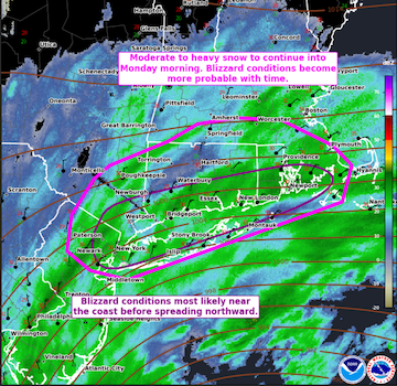
-

"Don’t do it" 2026 Blizzard obs, updates and pictures.
NeonPeon replied to Ginx snewx's topic in New England
I think that transfer has begun. The band coming over Nantucket is more robust and continuous than what has been before. The band over jersey and Delaware is significantly weaker than hours ago. -
Heaviest snow of the night currently falling.
-
Ironically about the most snow the Euro has shown this whole time and the event is like half over what an epically bad performance by it in terms of ongoings now, those bands coming towards LI look sexy AF
-
Moderate to sometimes heavier snow. Consistency of the snow has gotten drier. 79352006940__42541206-1FF3-4C98-90EC-C76E40802C6D.MOV
-
"Don’t do it" 2026 Blizzard obs, updates and pictures.
Ginx snewx replied to Ginx snewx's topic in New England
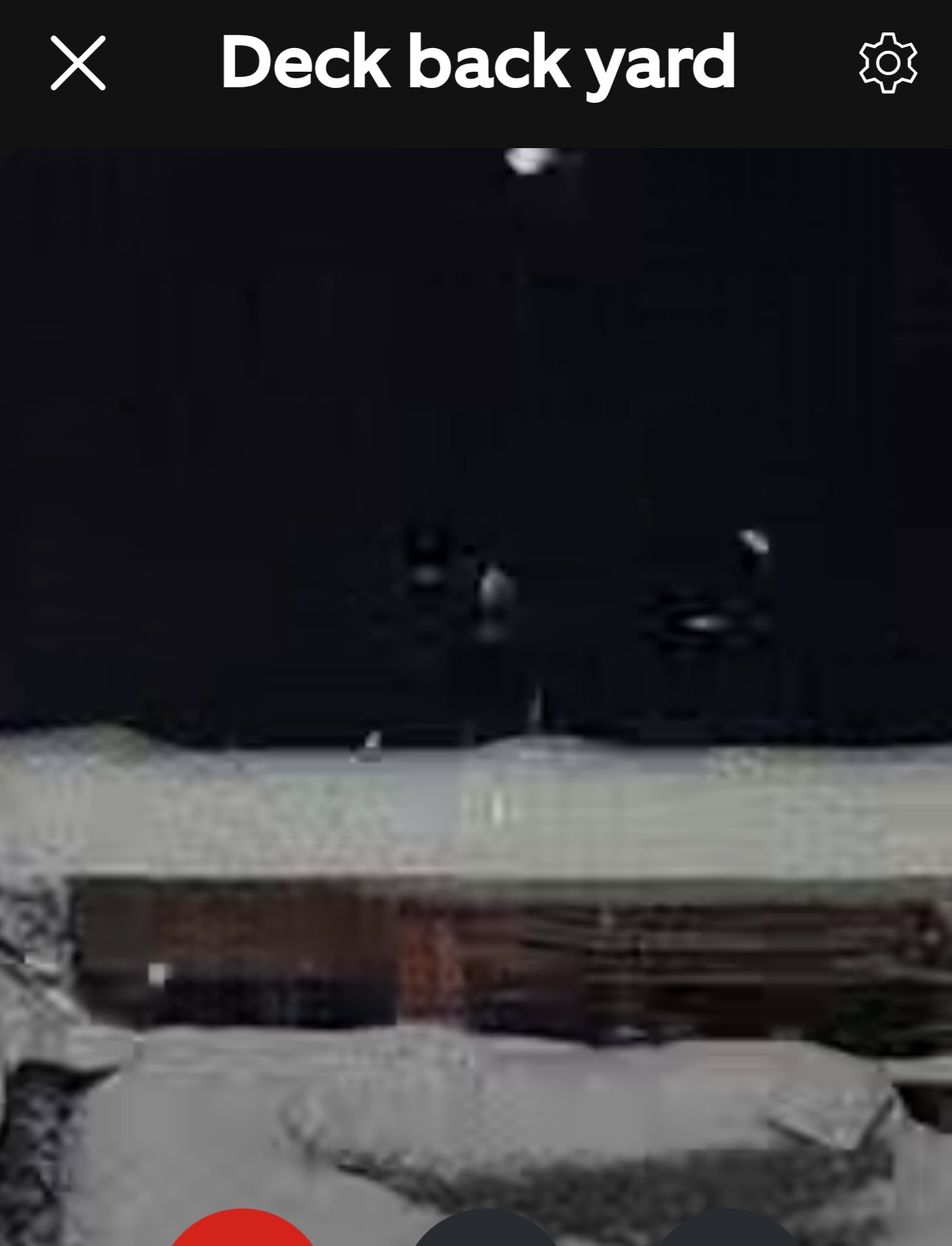
Deck cam . Up again at 4 nutz outside right now.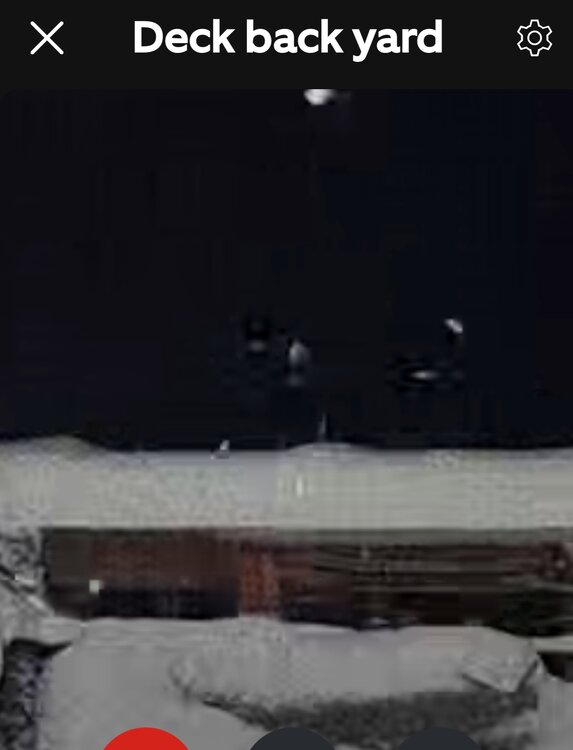
-
As of Midnight 2/22 NYC 8.8 LGA 8.1 ISP 9.5 JFK 6.5 EWR 10.1
-

"Don’t do it" 2026 Blizzard obs, updates and pictures.
ineedsnow replied to Ginx snewx's topic in New England
Ripping here


.png.c97f34830ef20472828c090eeae1c7e7.png)