All Activity
- Past hour
-
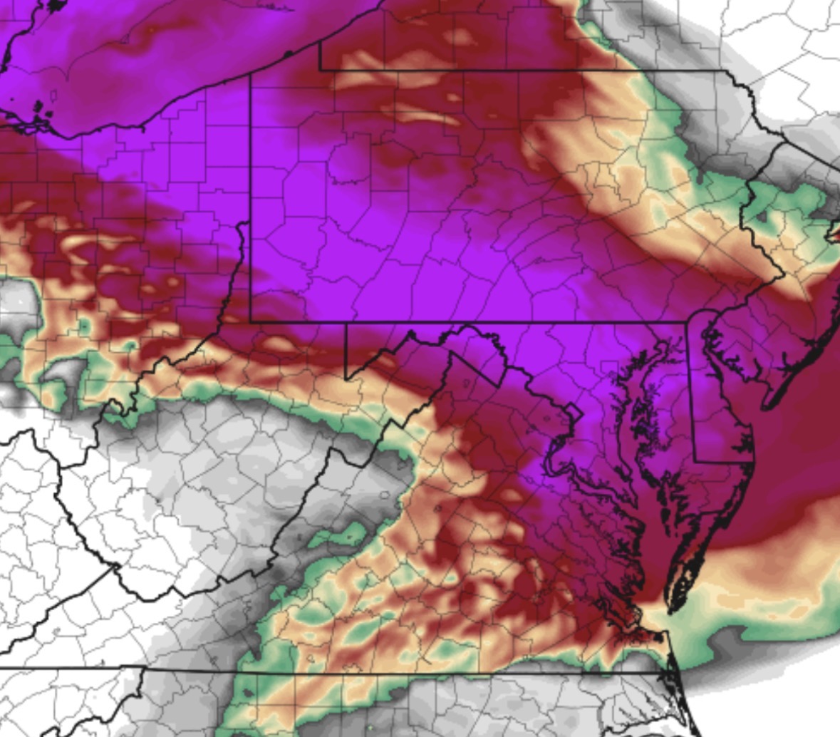
Found this one i grabbed. Pics were way worse too, but still bad today
-
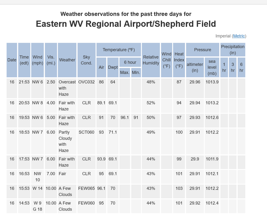
rapid AQ deterioration going on out here as the visibility rapidly erodes:
-
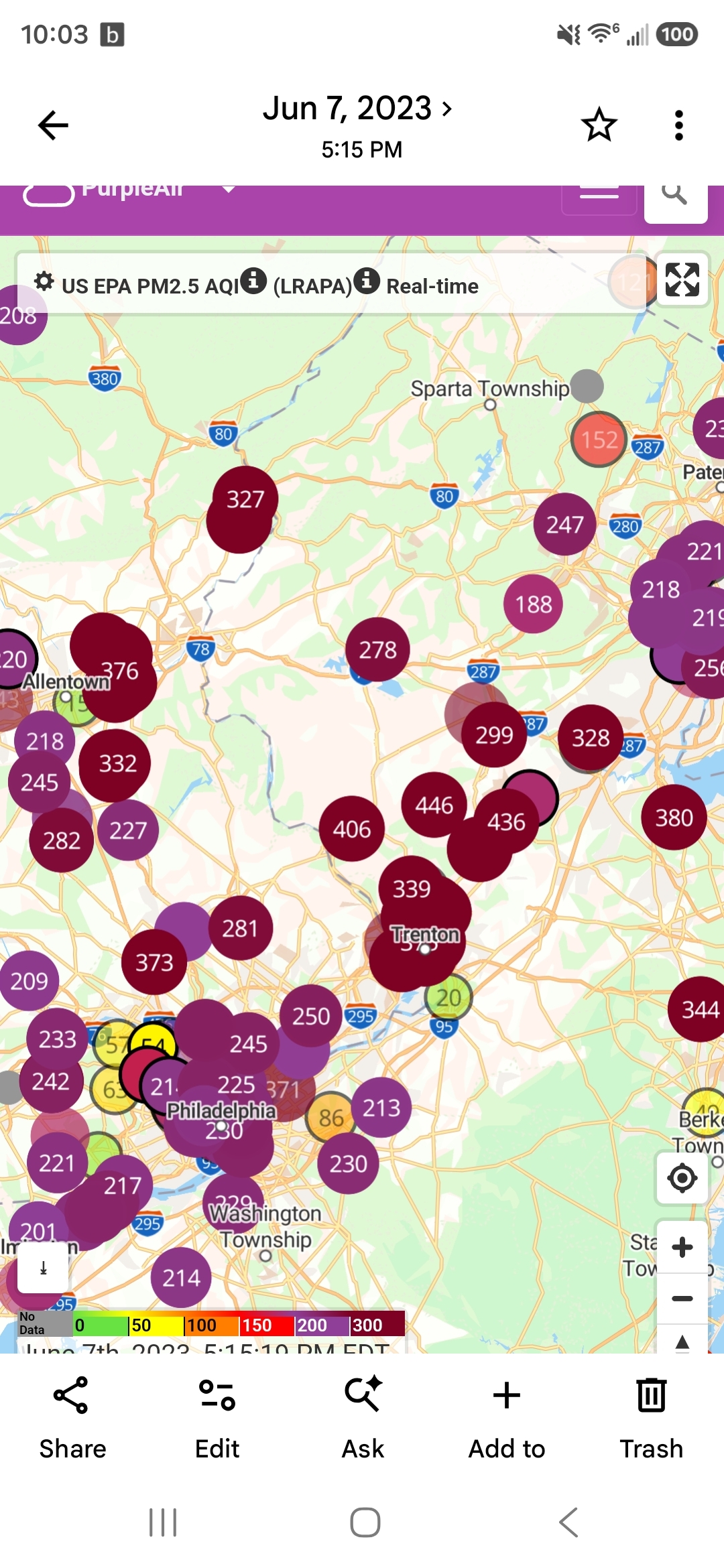
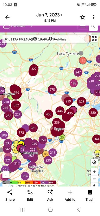
Found my screenshots from 2023, was over 400 then
-
Chicago was over 600 earlier.
-
0.31" a lot if thunder and lightning
-
Do I remember correctly they were over 500 in 2023???? I honestly forget but it was bad back then. Couldn’t stay outside for any more than a few minutes.
-
Nearing 300 AQI in some spots in the city. Con Ed cut voltage to my building. Hopefully not related.
-
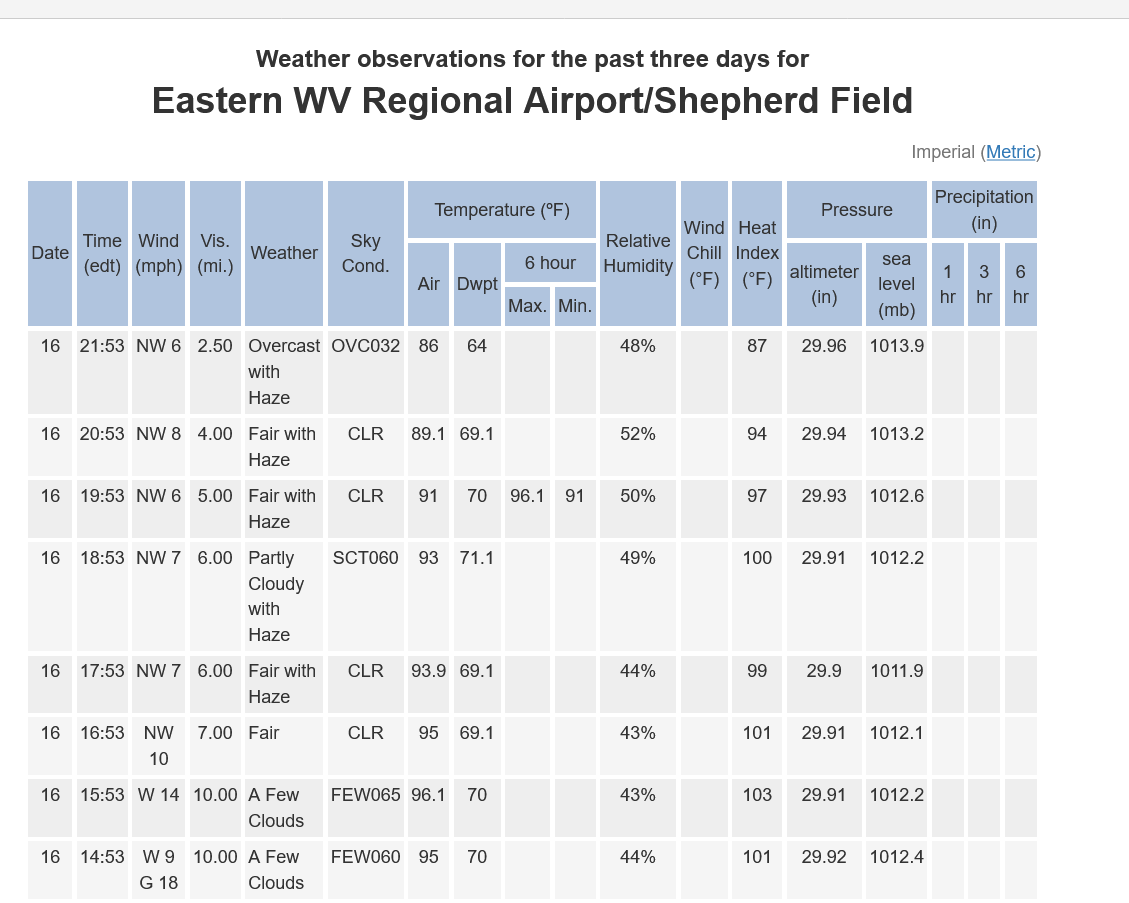
New peak of the day, with 1/2SM FU VV015 here at ORD.
-
 Power back. 7hrs Sent from my SM-S921U using Tapatalk
 -
Dews have dropped into the 50s over northeastern IL in the midst of that smoke. Still mid 70s here out west.
-
 So simple a literal monkey can do it.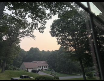
-
Apparently Coos county ranked #2 in the nation for snowfall. Bring it. https://www.foxweather.com/extreme-weather/lawn-love-snowiest-counties-rankings
-
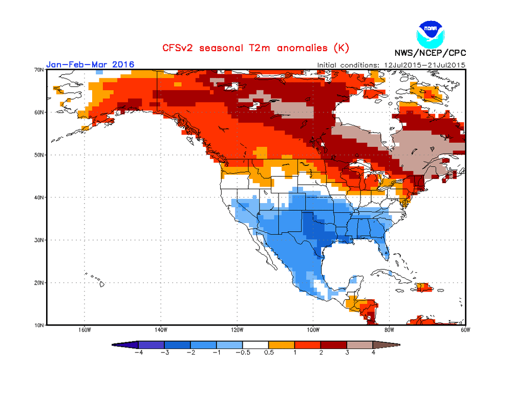
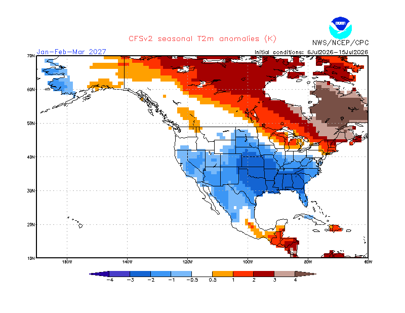
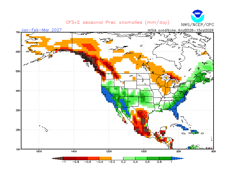
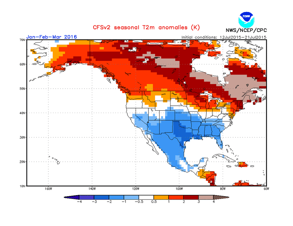
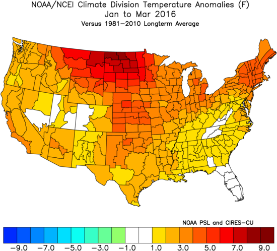
CFSv2 latest 10 day mean of JFM 2m anomalies is beautiful fwiw: Same for precip: Whereas this looks great and I’d love for it to verify closely, it’s important to keep in mind the following for the NE US regarding 15 years of mid-July CFSv2 JFM prog verifications (2012-26): -Too cold 6 yrs/40% (including 4 much too cold): ‘24, ‘23, ‘21, ‘20, ‘17, ‘12 -Too warm 4 yrs/27% (including one much too warm): ‘26, ‘22, ‘15, ‘14 -Close 5 yrs/33%: ‘25, ‘19, ‘18, ‘16, ‘13 Overall averages a cold bias in the NE, especially since 4 much too cold and only one much too warm. OTOH, only 6 of 15 (40%) were too cold…so not a strong cold bias and thus there’s still a reasonable level of hope that it could verify well. —————————— The cold bias in the SE is even stronger: -Too cold 8 years/53% (including 4 much too cold): ‘24, ‘23, ‘21, ‘20, ‘19, ‘17, ‘16, ‘12 -Too warm 5 years/33% (but none much too warm): ‘26, ‘25, ‘22, ‘15, ‘14 -Close 2 years/13%: ‘18 and ‘13 ————————— Interestingly, this cold JFM 2027 CFSv2 forecast isn’t a whole lot colder than the following one also made in mid-July for JFM 2016 (which similarly followed a super Nino peak) as it has a fairly similar pattern (just not as cold): This is what verified: so, CFSv2 was close in NE but too cold in the S 1/2 of US:
-
Only Boomers.
-
Small pretty intense thunderstorm dropping through Talbot County, was not expecting that
-
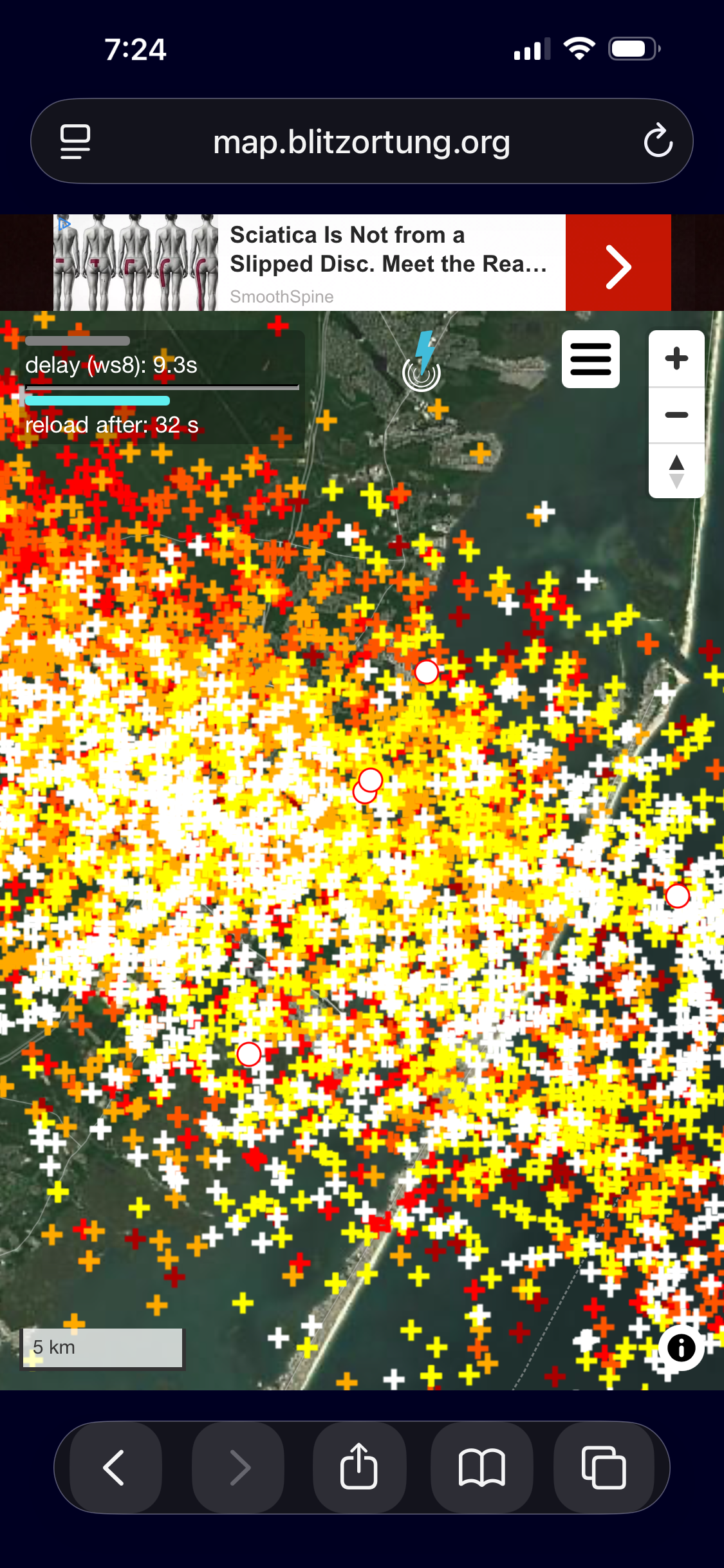
 Thick smoke was no inhibitor for the nasty training storms in cntrl NJ today. And look at that CG density even zoomed up! CoastalWx: "WHY CAN'T WE GET THAT HERE!?" visloop5.mp4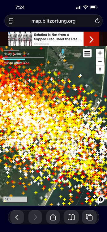
-
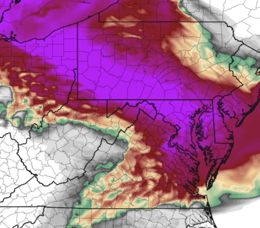
Tomorrow going to be brutal out. Smoke filled air.
-
Hoboken ~7:30-8:00
-
The top of the TS at it's peak was around 60,000 ft earlier this evening. Impressive, to say the least. The vertical extent of the smoke wasn't as thick today was it was yesterday. Today the top was around 8,000 ft even though the surface visibility was less. Yesterday the smoke was thicker aloft and the sun wasn't even visible.
-
See how even a small temp bias can make all the difference when it comes to historical rankings? Looking at the past few months, BOS temp is running around 1 F too warm. So remove that bias, and BOS so far this summer is #5 warmest or higher. Non-trivial difference.
-
Really hoping this crap clears up tomorrow AM. Would be good to have one nice day before more crud on Saturday.
-
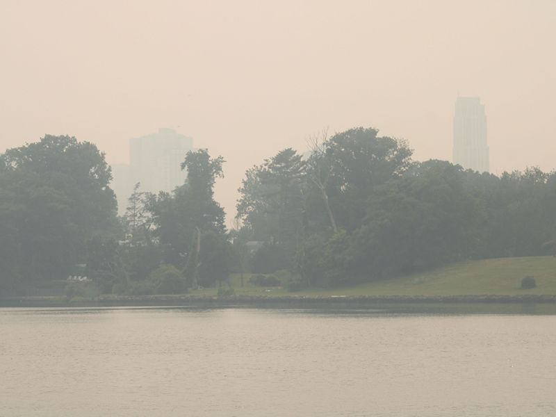
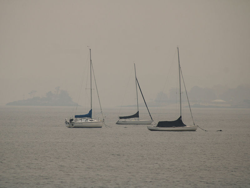
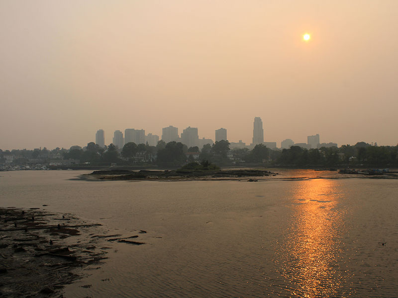
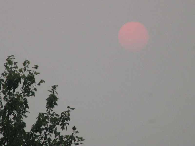
Four photos of the smoke today:
-
Radar estimating over 5” down around Manahawkin.
-
Aqi 224 now