All Activity
- Past hour
-

Strong Nor'Easter/Hybrid Storm Late September 2026
wthrmn654 replied to Rjay's topic in New York City Metro
Nws did a sneaky update and looks to of raised coastal flooding amounts again, now my tide gauge is up to moderate levels. -

October Comes Early: Late September Multi-Hazard Hybrid Storm
WinterWolf replied to WxWatcher007's topic in New England
Crock of shit! -

October Comes Early: Late September Multi-Hazard Hybrid Storm
DirtySnowDen replied to WxWatcher007's topic in New England
It’s Spanish for “The Niño” -
October Comes Early: Late September Multi-Hazard Hybrid Storm
DirtySnowDen replied to WxWatcher007's topic in New England

-

October Comes Early: Late September Multi-Hazard Hybrid Storm
Diggiebot replied to WxWatcher007's topic in New England
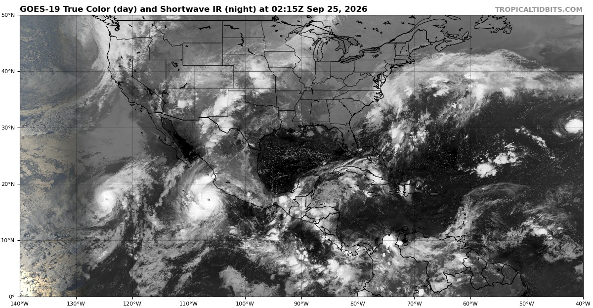
Meanwhile Hawaii is about to get three hurricanes in one year -
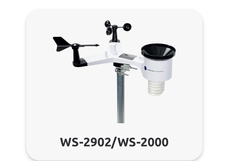
I this one have been over happy with it. The display is nice too.
-
October Comes Early: Late September Multi-Hazard Hybrid Storm
DirtySnowDen replied to WxWatcher007's topic in New England
If you swing your eyes. You can the eye form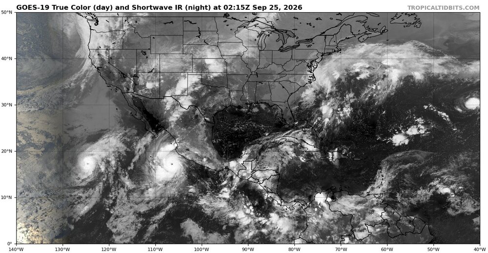
-

October Comes Early: Late September Multi-Hazard Hybrid Storm
vortex95 replied to WxWatcher007's topic in New England
10 to 50 times more likely than *what*? I see this often and there is no reference context and perspective given! Here's the problem w/ such stats. Atmospheric state variables (e.g. temp, vapor pressure, pressure, etc) are integrated into a highly complex, multi-variate, non-linear system. Axiomatically, meteorological variables exhibit non-Gaussian characteristics. That is, they don't follow a normal (Gaussian) distribution. “Unlikely events” like intense heatwaves, as it turns out, aren't as “unlikely” as it might seem in a non-Gaussian world. The wx in the real world doesn’t follow a Gaussian/normal distribution curve. Extreme events are far more common in a non-Gaussian distribution that reflects the physical world we live in. Bell curve graphs are an inappropriate use of statistics. Not only not Gaussian, but also the shape of the distribution changes w/ warming depending on location. So they apply stats/numbers that do not apply to reality (Gaussian vs non-Gaussian). When scientifically illiterate ppl try to normalize non-Gaussian disturbed data, you get the current nonsense. And we go back to the ever present issue, "how to lie w/ statistics" And while on the subject, concerning "sigma values" and those "1-in-a-million year events." Normalized anomalies used to be a good technique in meteorology to compare events by removing the mean and variance calculated from long-term gridded reanalysis data (30 yr), but now it's the hottest thing in climate activism. Normalized anomalies should not be interpreted as return periods in this way. The distribution of atmospheric variables, including 500 mb geopotential height, is not normal, and the climatology used for these normalized anomalies only contains 30 yr at each grid point w/ a 15-day centered mean and standard deviation. You can verify this by scanning the globe at any given time looking at this quantity. Say there is a Kona low at -5.5 sigma near HI for 500 heights. Obviously, that's not a 1-in-a-million yr event. 500 heights get extremely low in intense hurricanes in the tropics, and you'll see sigmas like -15. So that would mean a return rate longer than the Earth has existed. See how ridiculous this gets? But you get ppl parading these stats are as if they have any clue as to what they actually mean and how to apply them! Also, in reference to the above avg SSTs. You don''t need above avg SSTs to get an intense or record Nor'easter or any baroclinic storm. What matters most by far is baroclinicity in the atmosphere and jet structure. They have this vapid notion that things work linear 1-2-3 in the Earth's system, and *one* variable, like air temp or ocean temp, dictates everything else, and all else is trivial. And feedbacks are rife, furthering the complexity. An example of this is SSTs and TCs. All the increased SSTs in the world do not matter of the atmosphere does not cooperate, as in TPW values and wind shear. TC formation alone by far is dictated by atmospheric parameters, not ocean parameters. If SSTs were the biggest factor, we'd have far more TCs globally each year and they would not be confined to particular times of the year in each ocean basin. -
Braves just lost a series to the Reds. Not finishing strong.
-

October Comes Early: Late September Multi-Hazard Hybrid Storm
Masswx replied to WxWatcher007's topic in New England
Hopefully I wake up and it trended 150 miles north on Nams and hrrr -

October Comes Early: Late September Multi-Hazard Hybrid Storm
CoastalWx replied to WxWatcher007's topic in New England
Both NAMs figuring it out now. Not trying to bury it immediately towards WAL. -

E PA/NJ/DE Autumn 2026 Obs/Discussion
coastal front replied to PhiEaglesfan712's topic in Philadelphia Region
Trend today has been for the storm to not only move closer to the coast but father south as well. Not great if anyone was hoping for switch to an offshore flow by Saturday Sunday. Yikes -
October Comes Early: Late September Multi-Hazard Hybrid Storm
DirtySnowDen replied to WxWatcher007's topic in New England
It’s gonna ride and a tuck, the west-based high pressure wraps in the upper cold air, while the weaker easterly Atlantic high pressure fuels it with low level moisture. -
I took my first evening walk at the park of the season in lieu of the treadmill as a result of the cool and windy weather thanks to the strong wedge. It was only in the mid 60s along with winds gusting as high as ~25 mph. Due to dewpoints of 60, the RH was high. But the wind combined with the coolness made it feel great! Also, there was intermittent drizzle, which was unexpected and made it feel even cooler.
-
You (hopefully) know that I respect you as a poster so that post wasn’t targeted at your own meteorological knowledge. You’re the reason, alongside other posters and some professors, I’ve gotten this far. I was responding to the chain of thought of “there’s not much going on” in this thread because, yeah, there really shouldn’t be anything going on! It’s the awkward period of winter forecasting where you can paint big picture but any details won’t be clear. We both know there aren’t great correlations between weather and winter till October at the very soonest, so we really can’t say much till then.
-
October Comes Early: Late September Multi-Hazard Hybrid Storm
vortex95 replied to WxWatcher007's topic in New England
Don't be too focused on the 26 C SST line. STS can occur w/ SSTs as low as 15 C, and the Jan 2023 event (a hurricane IMHO) formed a nice convective ring w/ a persistent eye over 21-23 C SSTs and retained this structure remarkably well to 40N, and still looked really good and tropical-like when it passed Sable Island where SSTs were 7 C. I posted the sat loop earlier, and you'll see what i mean. HU Alex in Jan 2016 way out in the Atlantic was like this, It actually look best when it accelerating N over cooler SSTs w/ a distinct eye! -
Phillies look pathetic.
-
October Comes Early: Late September Multi-Hazard Hybrid Storm
DirtySnowDen replied to WxWatcher007's topic in New England
Take aways for the LI Waddler: 1. Anomalously (and broad) high-pressure system that is trying to sink South and West. 2. Some sort of Tropical burp that is intensifying. 3. The lack of an Atlantic Hurricane thus far. 4. The chance of said high pressure system splitting. 5. One of the strongest El Niños (if not the strongest) on record. 6. SST near or record levels. 6.1 Gas getting close to its record levels (for the generators) 7. Full-moon. This thing will wreck havoc, 12z runs were the 3-day burp that happens. -
Brewers notched their first 100-win season in franchise history. Maybe they can dethrone the Dodgers?
-
October Comes Early: Late September Multi-Hazard Hybrid Storm
vortex95 replied to WxWatcher007's topic in New England
-

E PA/NJ/DE Autumn 2026 Obs/Discussion
Ralph Wiggum replied to PhiEaglesfan712's topic in Philadelphia Region
Time for a Whopper "value" meal. Thanks for the reminder @hazwoper -
October Comes Early: Late September Multi-Hazard Hybrid Storm
WinterWolf replied to WxWatcher007's topic in New England
That’s way the heck down in the Delmarva lol. - Today
-
October Comes Early: Late September Multi-Hazard Hybrid Storm
vortex95 replied to WxWatcher007's topic in New England
This is fascinating evolution and not something that occurs that often. @CoastalWxneeds to broaden his wx horizons a bit, in addition to within 5 mi of Weymouth! Regardless of what the sfc low becomes, yes, it is irrelevant to the sensible wx impacts, unless it get "cute" and retains core TC characteristics as drifts near the S Coast! -
October Comes Early: Late September Multi-Hazard Hybrid Storm
CoastalWx replied to WxWatcher007's topic in New England
Hrrr trying to wrap this towards Wallops Island lol. That’s cute. -
October Comes Early: Late September Multi-Hazard Hybrid Storm
CoastalWx replied to WxWatcher007's topic in New England