All Activity
- Past hour
-
 Destructive tag on that supercell now.
 -
 Gene is 81° at 1230am at like 1kft. GFL 85°. Wild. 73.6° here.
 -
Ha that little cell is producing 2” hail and gusts to 70 per the warning.
-
Solid little cell working its way into northern NY. We’ll see if it holds given the crapvection ahead of it.
- Today
-
 Nothing here.
 -
I don’t think they have the votes in the Senate. The House is just being dumb because they can’t pass anything important. This may be something the Senate never even takes up if for no other reason than lack of time on the legislative calendar. Enjoy
-
Really surprised at how well the dewpoints held up despite the NW flow and deep subsidence.
-
it wasn't that bad in the Shenandoah Valley.
-
No The sky was muddier at times in 70’s but that was pollution
-
.thumb.gif.f92b16c631a1d15d405ed77b33f0710d.gif) 12km NAM is fun SPC earlier, that is not your standard NE text Additional, more robust, convection was also noted in eastern ON this evening. The environment ahead of these severe storms remains strongly unstable (MUCAPE 3000+ J/kg) and sheared. High-res imagery from Canadian radars shows a mixed storm mode of supercells and organized clusters, which is likely to continue as they approach and cross the international border between 0300 and 0400 UTC. Given the favorable environment and storm mode, a continued risk for mainly hail and damaging winds is expected late this evening into the overnight hours. Though a tornado or two cannot be ruled out.
12km NAM is fun SPC earlier, that is not your standard NE text Additional, more robust, convection was also noted in eastern ON this evening. The environment ahead of these severe storms remains strongly unstable (MUCAPE 3000+ J/kg) and sheared. High-res imagery from Canadian radars shows a mixed storm mode of supercells and organized clusters, which is likely to continue as they approach and cross the international border between 0300 and 0400 UTC. Given the favorable environment and storm mode, a continued risk for mainly hail and damaging winds is expected late this evening into the overnight hours. Though a tornado or two cannot be ruled out. -
 Girls look like super cells up in Ontario about right across the border though
 -
Not sure I like this choice to to pass the DLT Maybe the Senate will block it
-
 And the smoke muted things here in Philly… “only” made it to 92 today. Wondering if tomorrow’s forecast 101 will come to fruition?!? If not, would be happy… been pretty hot here (miserable!?!) this summer. Already up to 22 90+ days here… average summer is 30 days.
 -
not bad
-
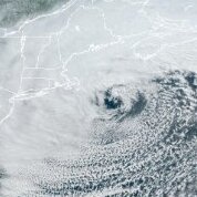 Smoke... pivotal-weather-hrrr-smoke_viden-us_ne.mp4 pivotal-weather-hrrr-smoke_sfc-us_ne.mp4
-
Finally something noteworthy to track ONT/QC
-
Rooting for England tomorrow
-
Ping pongs in Bethlehem. Looks quiet for awhile after this.
-
 Family cabin on Fying Pond
 -
Detect this

-
Official record at the co-op doesn't have a 100 reading since 1894, and only 3 99's. This was met at a PWS a couple blocks from my house, so it will not be an official record. I hit 100 at my house once in the mid 90's that I recall. It is rare to be sure to see 100's in NE MN. At DLH, 3 100's were recorded in the 1936 heatwave. It really takes special circumstances to get 100 here. Even hitting 95 is a chore. Last night, and again tonight in my house, it reached 85. Will be opening windows very soon This was an impressive heatwave! (and glad it's ending)
-
 Where u staying in mt Vernon? Grew up in belgrade lakes Sent from my SM-S921U using Tapatalk
 -
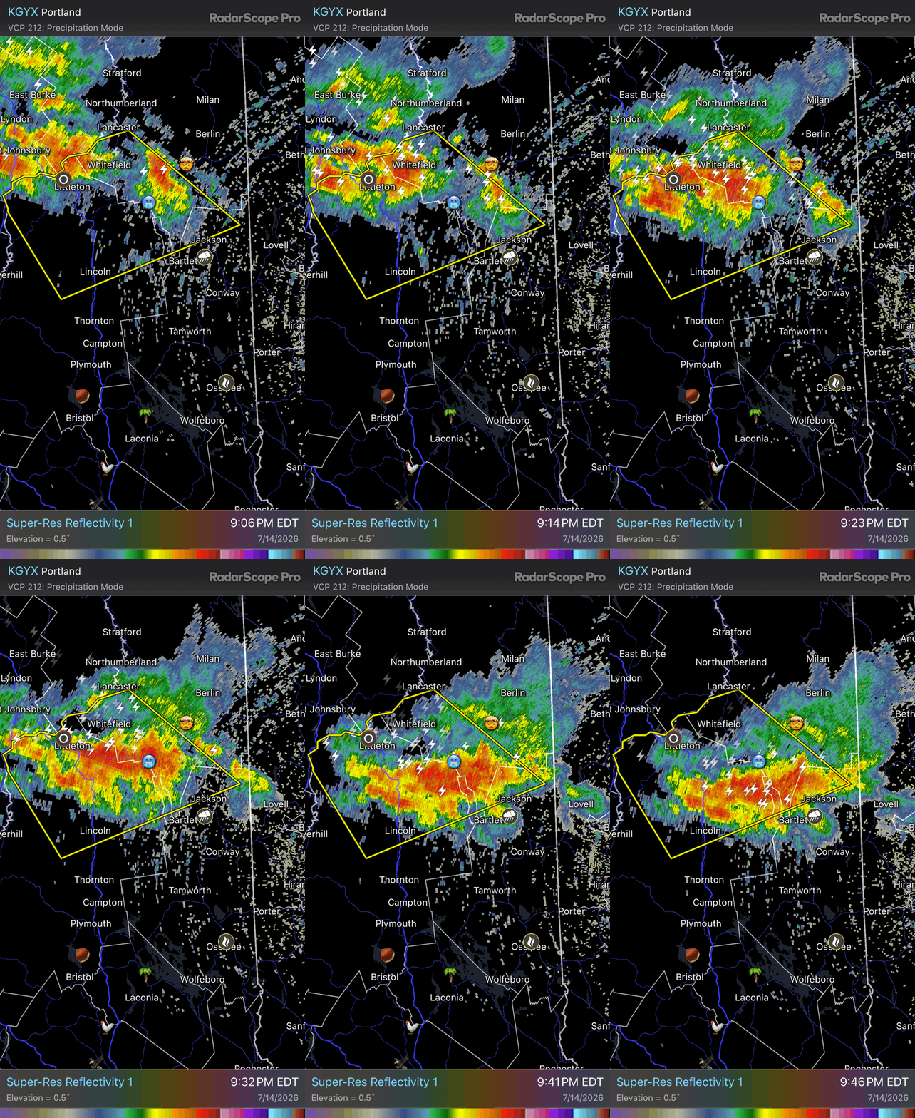
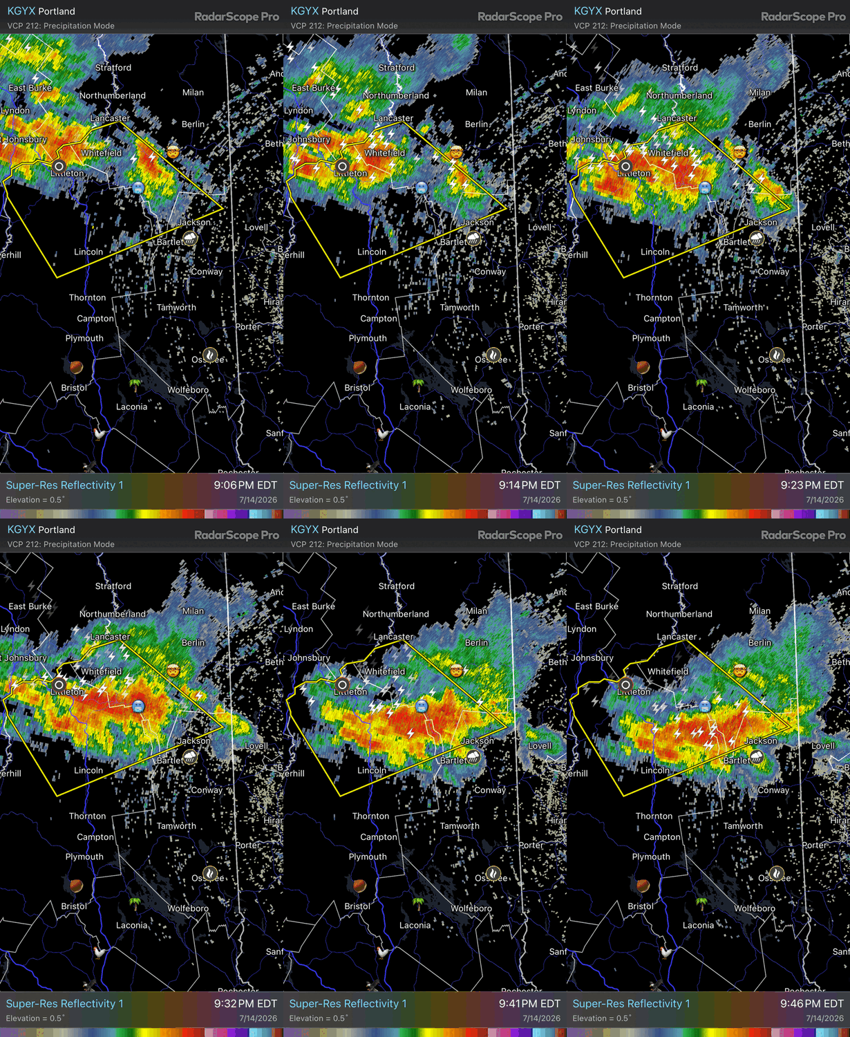
Half dollars in Littleton. Most exciting weather there in recorded history
-
 Really good lesson learned regarding smoke concentrating ahead of the front and inhibiting surface heating. It seems safe to say this was a bust, especially in Maine. Three severe reports for the day from one storm in northern Coos county. Four now with the hail report from Littleton. Maybe a couple more from that cluster before it clears the coast.