MillvilleWx
-
Posts
5,530 -
Joined
-
Last visited
Content Type
Profiles
Blogs
Forums
American Weather
Media Demo
Store
Gallery
Everything posted by MillvilleWx
-
We very much appreciate Tomer’s work so far at WPC/DTB. He’s a very intelligent person and very friendly. Probably one of the better follows for meteorological knowledge out there. Pretty awesome to have him on our team in some capacity.
-
Correct! Wilma (2005) and Felix (2007) are the only ones faster
-
I gotta tell you guys. We at WPC along with NHC have had this potential in the back our minds for a few days now. It got real this morning through the afternoon. Not looking forward to what’s to come from Milton. At least this go around I’ll be off tomorrow for my sisters Baby Shower and then work the ERO on Monday before off the follow few days before nights. I was the lead chair for Helene, a truly surreal experience for myself. Those were my first days with no trainer in the SBF (Senior Branch Forecast) desk. I made it and I feel very confident, but it took a mental toll on all of us. Tropical season is a cruel mistress
- 755 replies
-
- 18
-

-

-
Haven’t watched a game since I went and saw us do nothing back in August. This team is so dreadful behind the plate. It’s sad with all this talent. Should never be this bad. Coaches must get paid to do nothing, or players have their head up their ass. Oh well. Burnes will bounce and hopefully we get some pitching this off-season to counter what will be multiple pitchers likely not coming back till end of next season or not until 2026.
-
Woke up to @WxWatcher007message that he is okay down in Perry. He said the eyewall was WILD. I’ll let anyone know more when he messages me.
-
As others have stated here, I am very tired of Harbaugh. I can’t even watch this team play in the 4Q anymore. It’s so dang predictable. Negative killer instinct. Not even zero, that’s too much credit. How many times will we have to watch this team try to snatch defeat from the jaws of victory? Frustrating
-
@WxWatcher007is doing okay currently. He lost power and winds are ramping up.
-
44° at mi casa this morning. Amazing
-
Incredible morning for a commute. Temps were between 46-50° the whole way down 15/270 on my way in today. This is a nice glimpse of fall for these parts. Getting to that time!
-
Another beautiful day today. Literally one “off” day with the frontal approach, then more beautiful days ahead. Can’t complain.
-
I thought the Ravens played a good game, all things considered. The Oline actually tightened up a bit and gave Lamar some time and space to make some plays. That’s going to be one of the biggest detriments to the team early on is the line play. Secondary has to get it together with some of those miscommunications. That one on Marlon was egregious. I think we’ll be okay in the grand scheme.
-
I guess. We shouldn’t be losing to this team like this. It was the polar opposite approach at the the plate today. Swinging at bad pitches and just horrible awareness at the plate. We can’t lose these games if we want to show we’re elite. Idc what our overall record is right now either. We have been playing ~.500 ball for 3 months and part of it is this team forgot how to hit a baseball CONSISTENTLY. It’s maddening with all this talent at the dish. It will not cut it end of season and playoffs. The only good news is there is no one team in the AL showing anything close to being elite, so the door is open.
-
And then we back it up with whatever we’re doing tonight lol I both love and hate this team. So annoying.
-
If you leave now, you can beat traffic
-
Thank you! It’ll be a change, but it will be an exciting time.
-
Thought today would be a good day to share. This month is my wife and I’s last month at our place in Frederick. We will be moving across the way to Edgewater for at least a year and a half before settling somewhere in northern AA/Howard/Carroll/Frederick counties in 2026. Will be partaking in the snow anus of the Mid Atlantic (Outside parts of DC) but the money we’ll be saving will be huge! Bright future ahead. If there’s a big snow event that I can chase locally, I’ll be there! For now, will enjoy living by the water and being closer to my family and our friends! Any AA peeps have some good restaurant/bar/shopping destinations to take in while in the county, feel free to share in a Quote or my PM.
-
Immaculate day out here in the valley
-
0.64” at my place last night. Hoping for more today. This month has been incredible for green up around my hood.
-
We might have the nicest Labor Day in a long time around these parts. Just have to get through this week. Until then, warm and muggy….details at 6
-
Might actually get a touch of rain here in Frederick. It's trying to die before it gets here, but it should drop a little bit before it does. Warm and muggy out 85/73
-
I can’t wait to drive home in the early morning with the windows down
-
Hit the tail end of the line that formed in Central MD a little bit ago. Quite the commute to work on 270. Slowed to a crawl when the rain hit the hardest. Nothing up in Frederick but saw the thunderhead to the south before I left. I knew what I was getting myself into lol
-
I was in the area that was void of trees for 5 years. I will never take rain, grass, and trees ever for granted again
-
Currently 79° out after a nice storm gave us 0.28” of rainfall. The solid month continues for the valley.
-
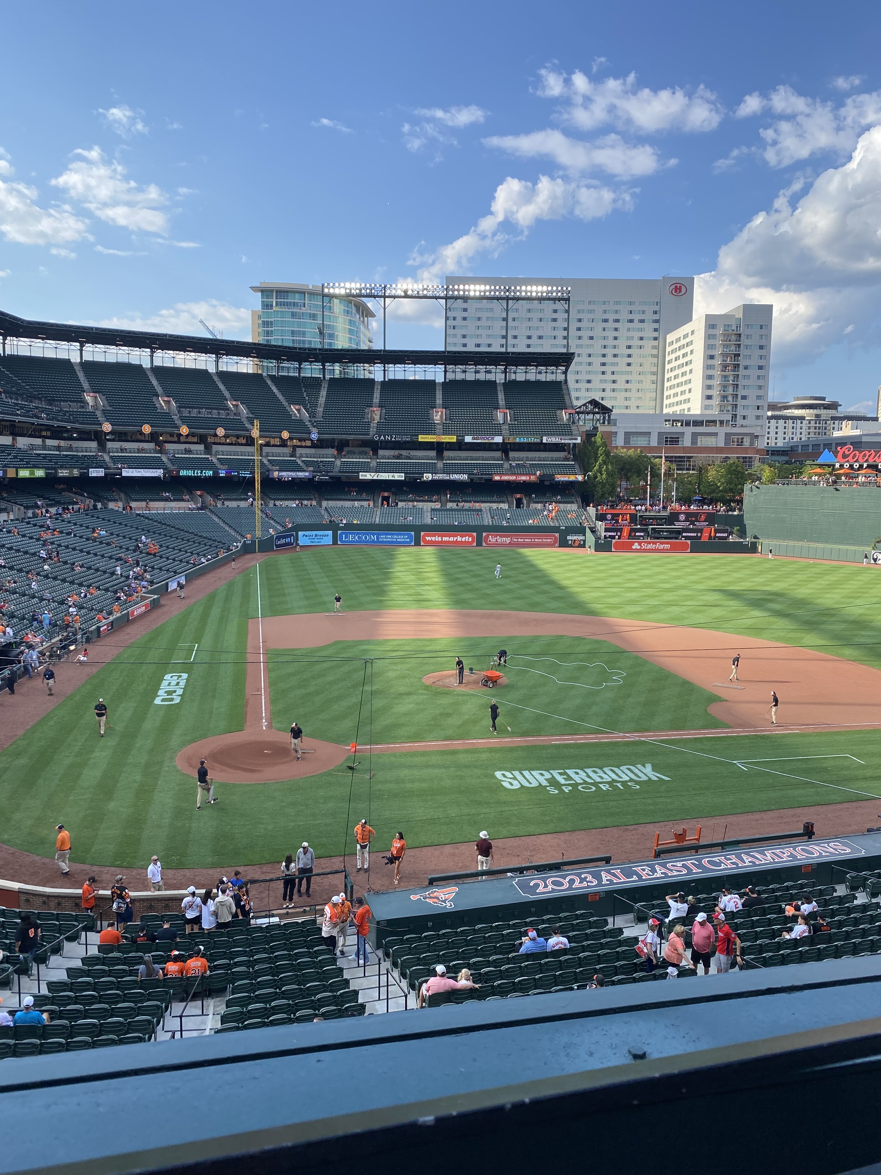
Absolutely immaculate night at the Yard. Hoping for a great game. Temps in the low 80s, dry, and partly cloudy. A perfect night for baseball!