Boston Bulldog
-
Posts
823 -
Joined
-
Last visited
Content Type
Profiles
Blogs
Forums
American Weather
Media Demo
Store
Gallery
Everything posted by Boston Bulldog
-
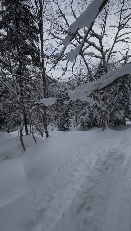
Sad about this incoming rain. The footage coming out of the Notch, Big Jay etc from this past Friday is as insane as I’ve ever seen out of the East. Hopefully we lock in the base and continue to build
-

December 14th - Snow showers or Plowable snow?
Boston Bulldog replied to Sey-Mour Snow's topic in New England
Nice ocean enhanced band about to head into mid-cape -
December 14th - Snow showers or Plowable snow?
Boston Bulldog replied to Sey-Mour Snow's topic in New England
James would always be able to call when these sliders would trend north… the fact he thought every storm passing south would trend north into Harwich notwithstanding -
December 14th - Snow showers or Plowable snow?
Boston Bulldog replied to Sey-Mour Snow's topic in New England
The Dawn Awakening -
December 14th - Snow showers or Plowable snow?
Boston Bulldog replied to Sey-Mour Snow's topic in New England
Cape Cod is in for a memorable couple hours here. Let’s get some thundersnow. Without digging in too much, I think this loop looks a lot like the Valentines Day 2015 blizzard (or at least what I remember it being). Two extremely different systems synoptically!
-
You know what, it looks at least 4” has verified on the summit. And it’s nuking right now. And the rope just dropped on Paradise with knee deep powder. Touché Jankoski

-
I think Jankoski typically does a pretty good job (if a but optimistic) for forecasting amounts along the spine. I will say, I do not see any support for this 4-8” call at MRG! Hoping he’s right though
-
December 2025 regional war/obs/disco thread
Boston Bulldog replied to Torch Tiger's topic in New England
Yep, small tick NW with the 500mb low. Tiny move though -
December 2025 regional war/obs/disco thread
Boston Bulldog replied to Torch Tiger's topic in New England
Little ocean effect out by Chatham right now? -
Nice looking band! edit: appears as though I linked a dynamic radar that is updating. The band doesn’t look as nice now due to beam blockage
-
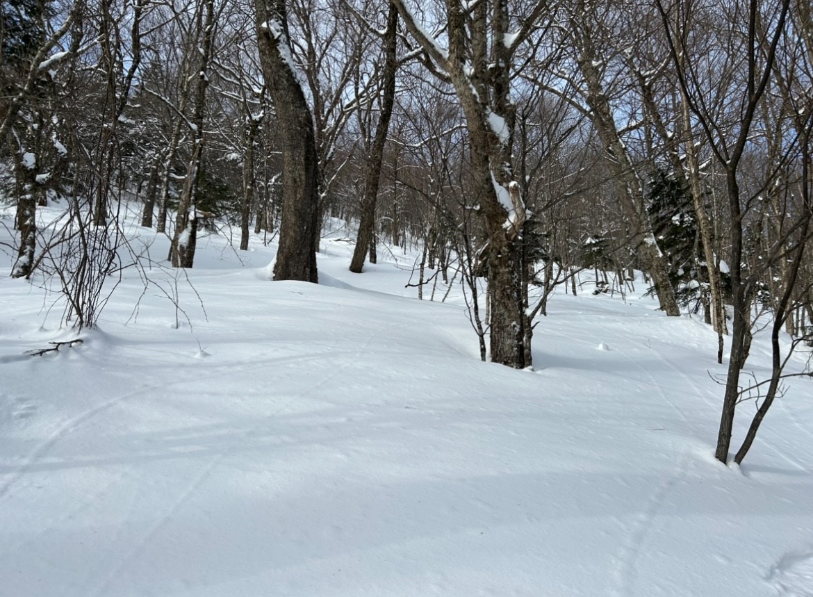
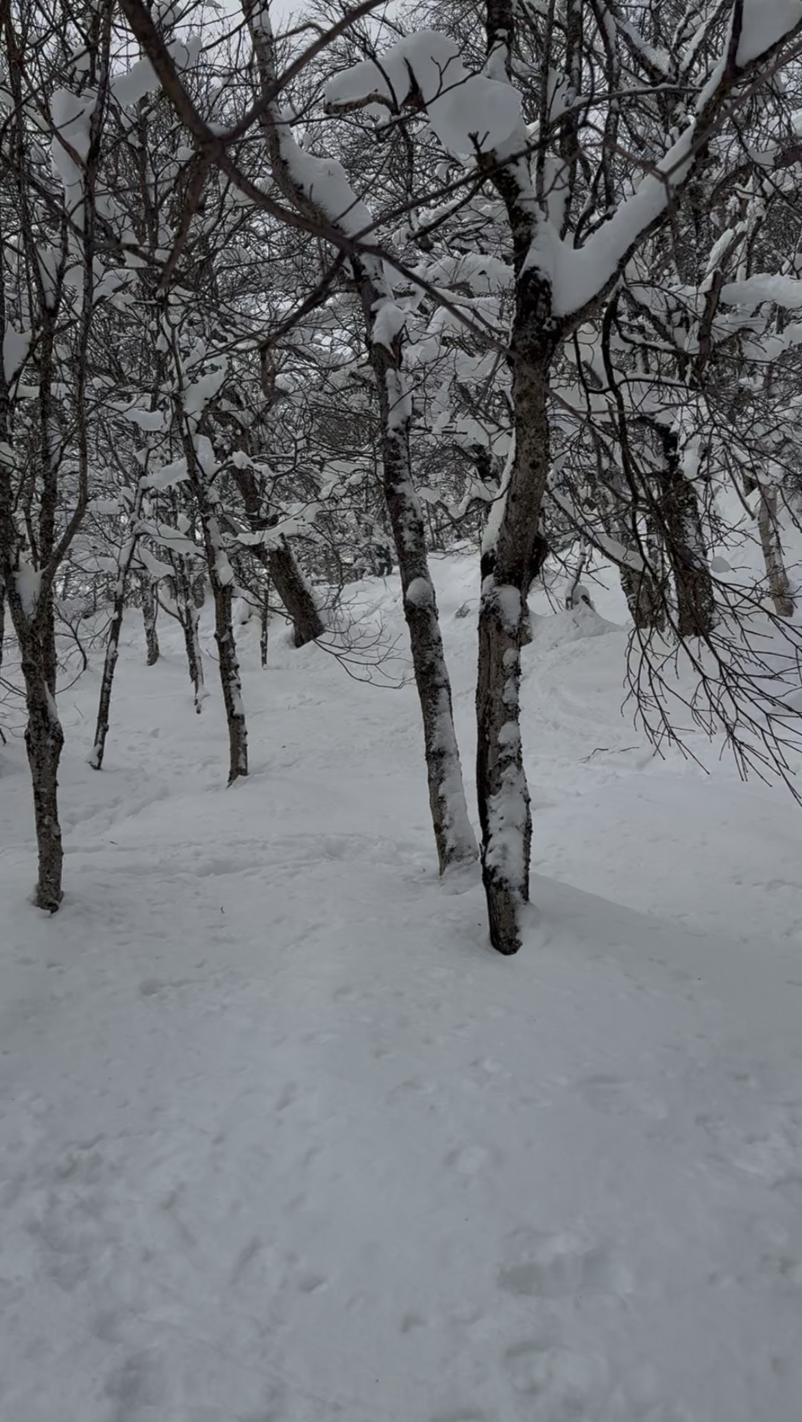
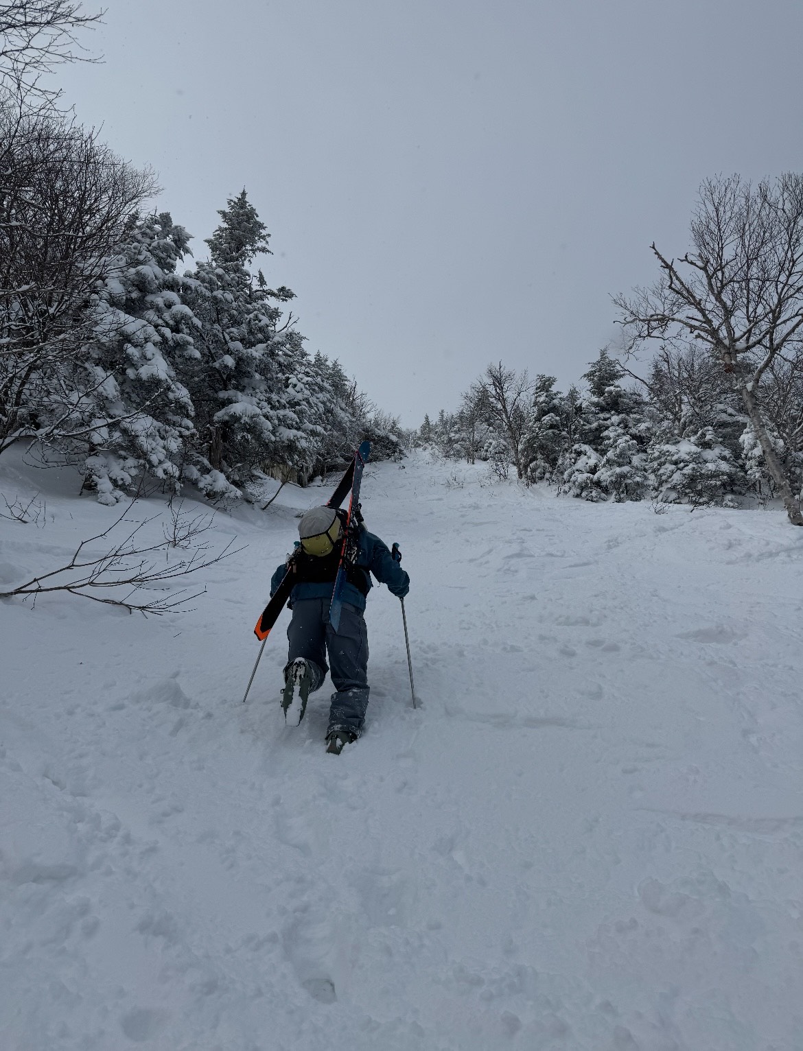
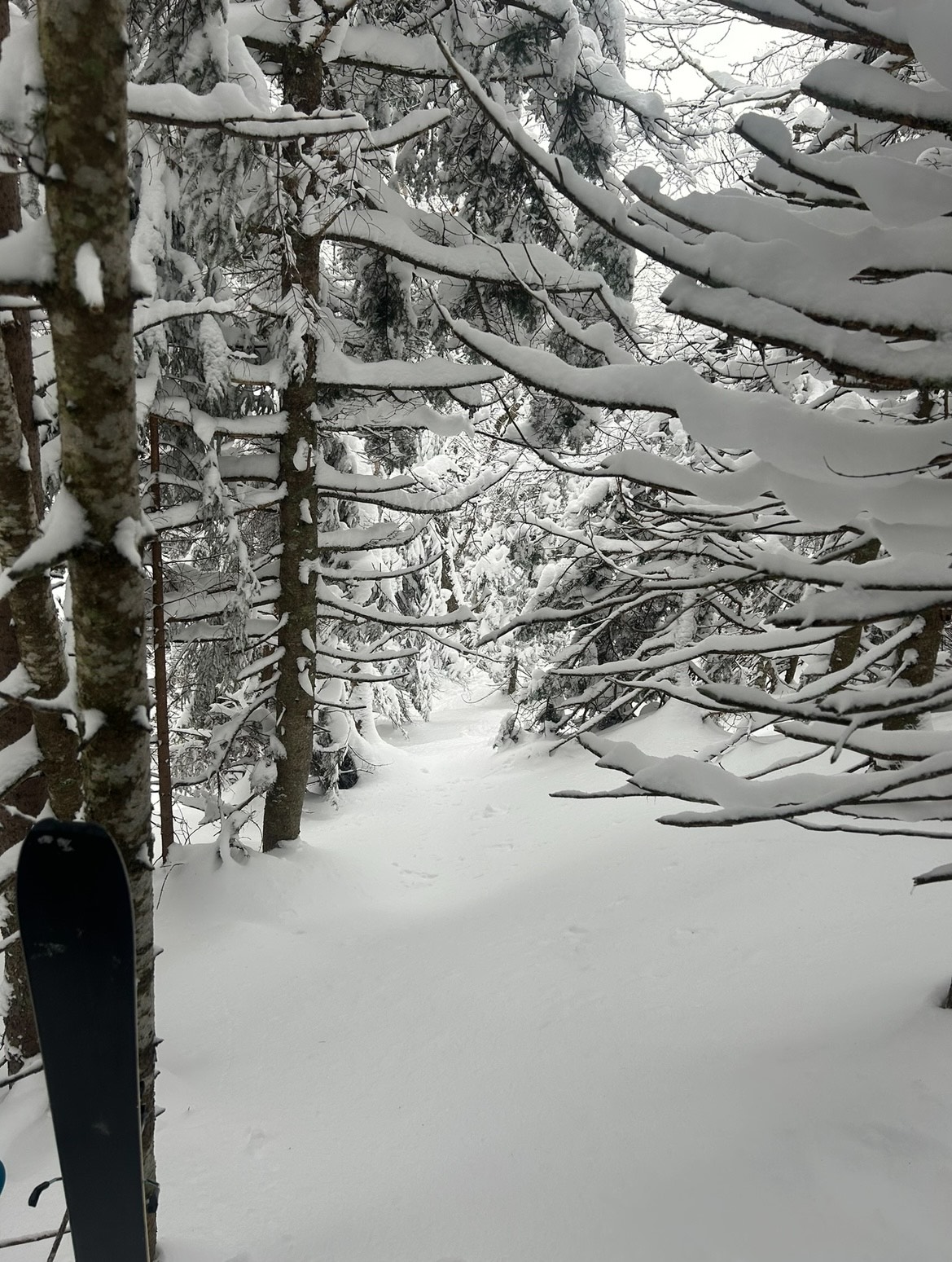
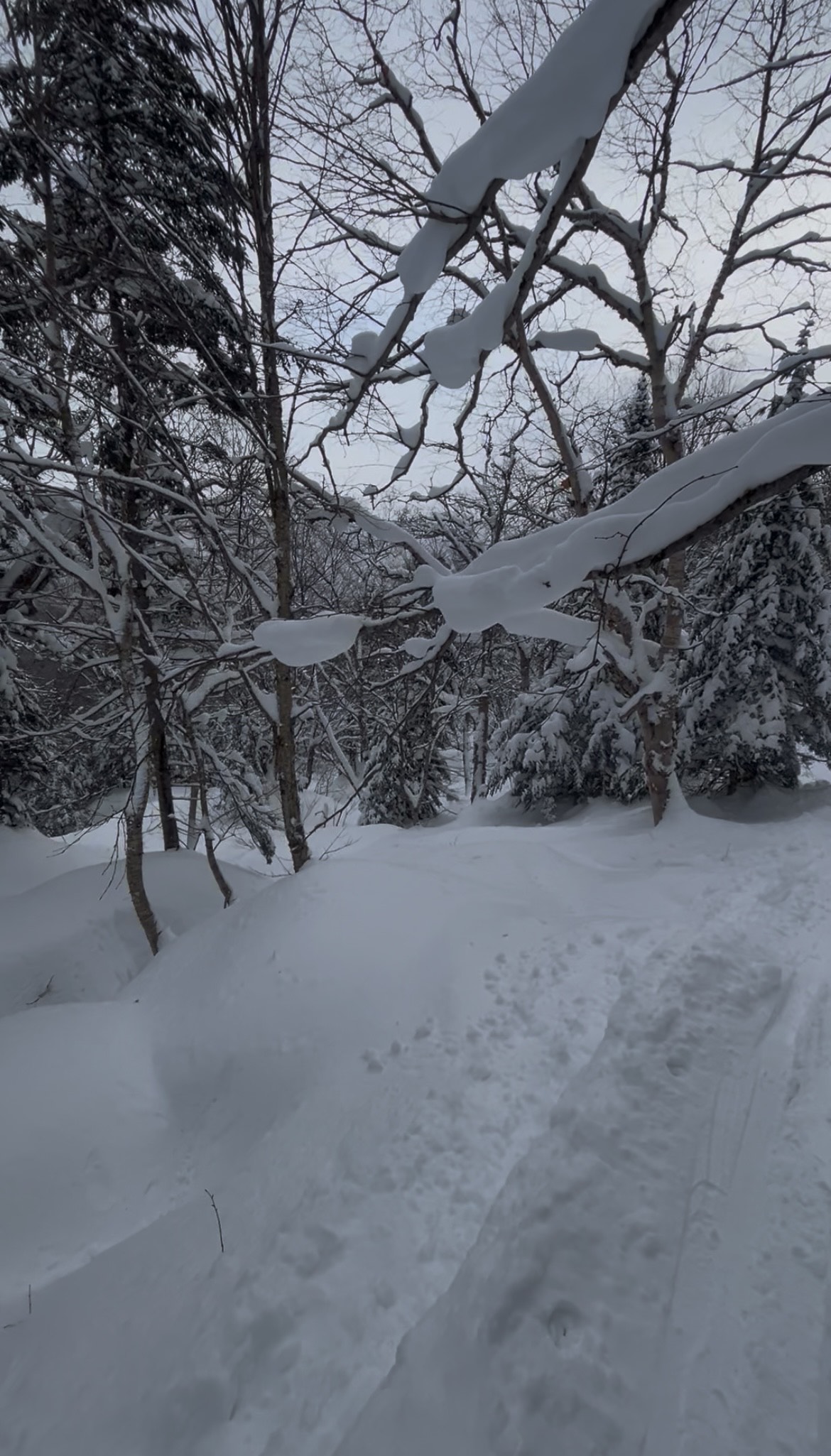
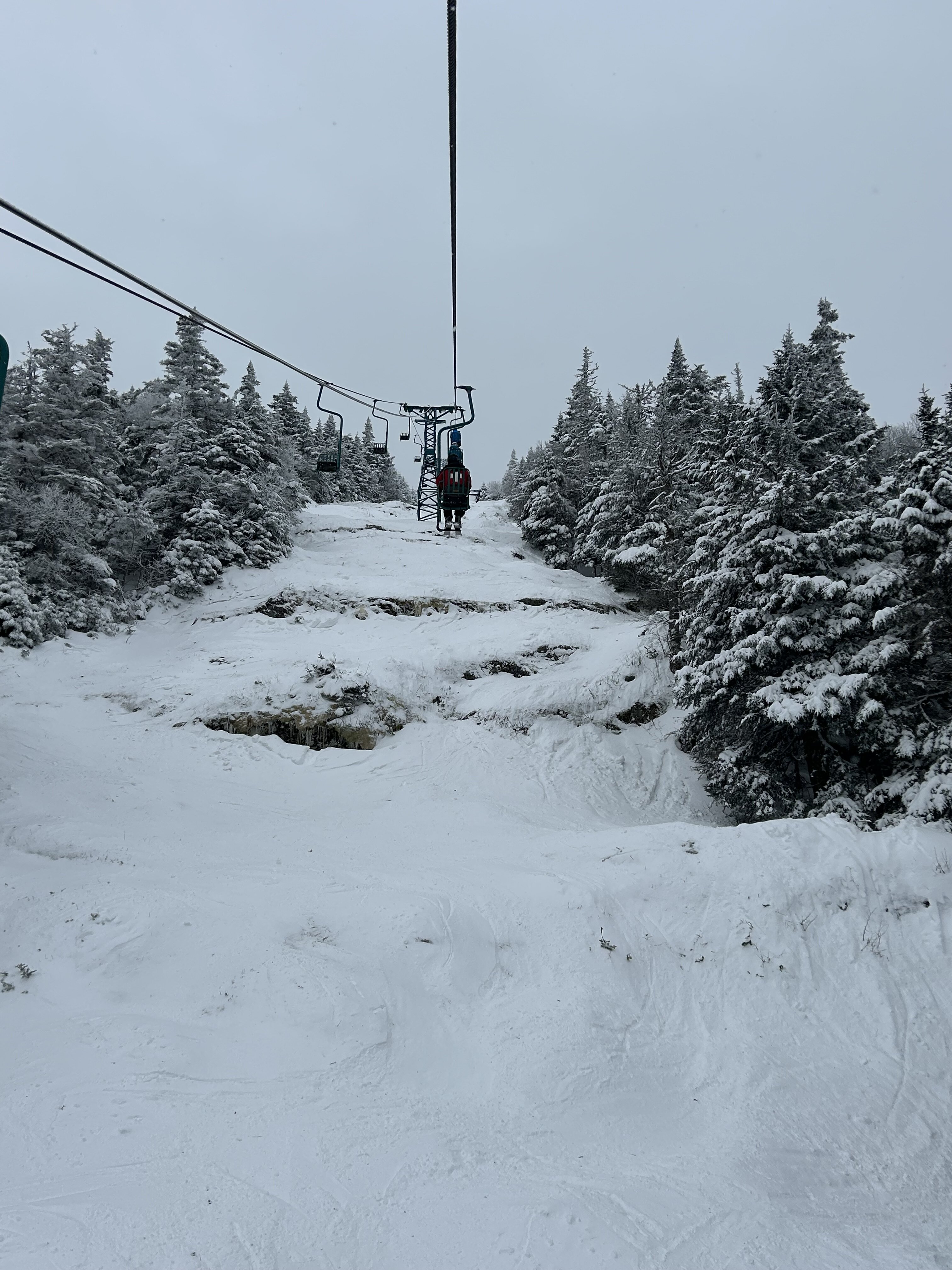
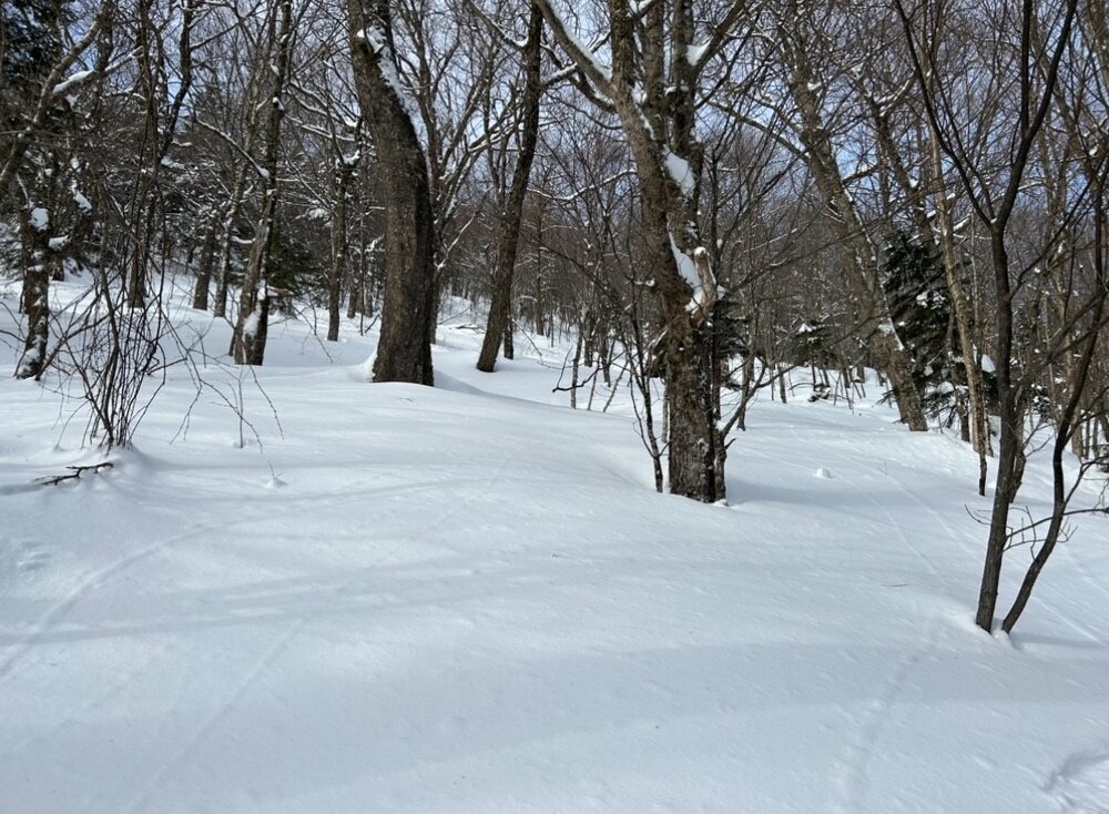
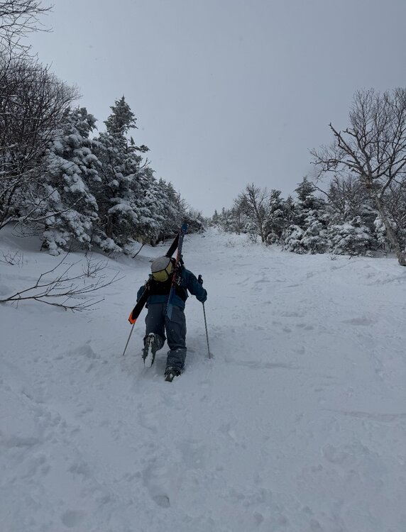
Heard some reports that Jay Peak was a bit wind affected following the squalls on Thursday. That fierce northwest flow deposited a ton of snow downwind into what is usually the deepest locale in New England. I was confident depths would be good, and a thorough exploration on Saturday found conditions that exceeded my expectations. The whole zone is wide open for the taking, though some danger still lurks with a smattering of open drainages poking through. Up high, tight tunnels transition into spacious gladed gullies choked with powder. Bushwacking and bootpacking into a zone famous for it's felonious past yielded a skied off chowder experience. When the forest closes back in on the scar, prior traffic disappears into an extensive menu of deep lines that open up among powder plastered conifers and hardwoods. I've never been to Japan, but I imagine this is as close as the East Coast can get visually. Hard to believe it was December 6th South of I-89 it is a different world. MRG managed to get the single going, but rock skis are an absolute necessity. If you're willing to take a few shots to your skis, conditions were actually pretty ripper up high with tons of funky low tide features. Chute was especially sporty, with a double (or triple) drop that was teed up right under the lift.


-
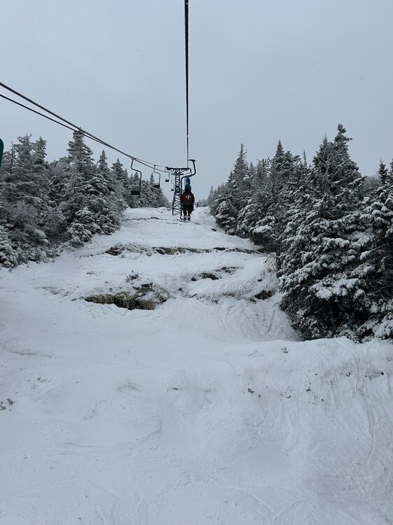
MRG opening Saturday with the Double and P-slope… though the Single has been spinning on the webcam so we may get some additional terrain added
-
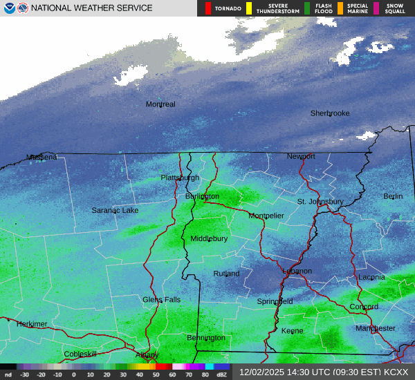
St Johnsbury is somehow the current accumulation leader in New England with 8.6". I don't think a single model had anything close to that outcome
-
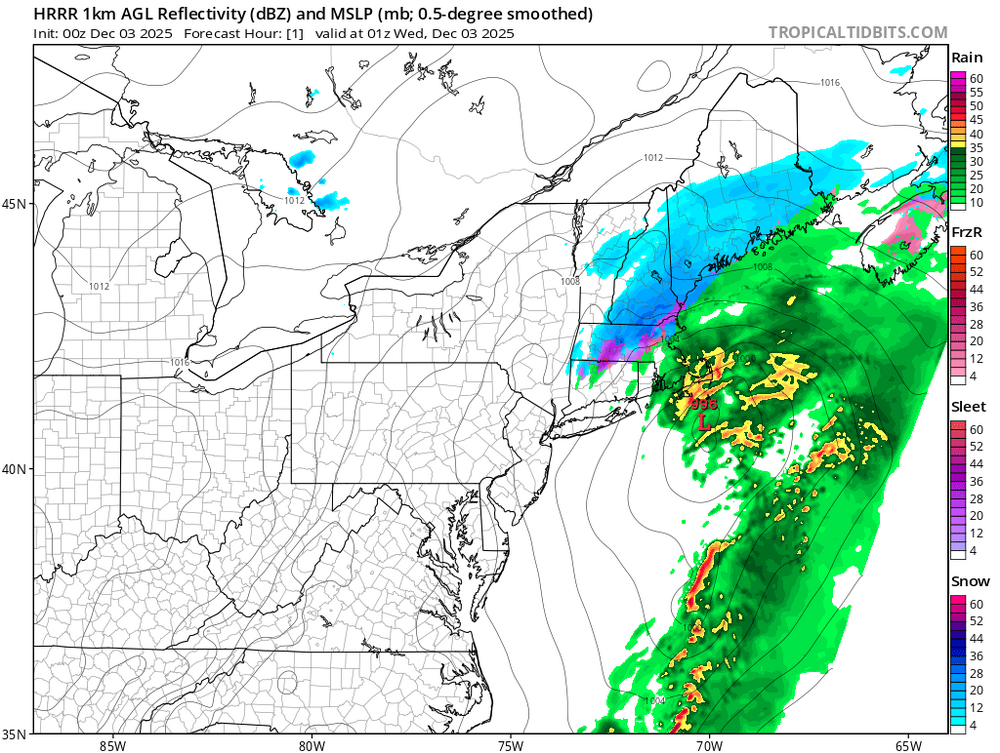
Models can't initialize this storm to save their life. The hrrr is completely missing the big band over Northern Vermont. Pretty garbage model performance all around, from the medium to short terms
-
I don't know if there's any actual significant correlation between these two variables, but it seems like you need a deep and rapidly intensifying low pressure in order to have a successful backend "flash over". Mbs in the 990s, tilted mid levels, and rapid forward progression just won't cut it. Kind of a weird SWFE hybrid rather than a true coastal. Big warm nose etc... If you can't stack the lows, the dynamics just aren't as good for the development of a cold conveyor belt
-
Yes, or just south of you
-
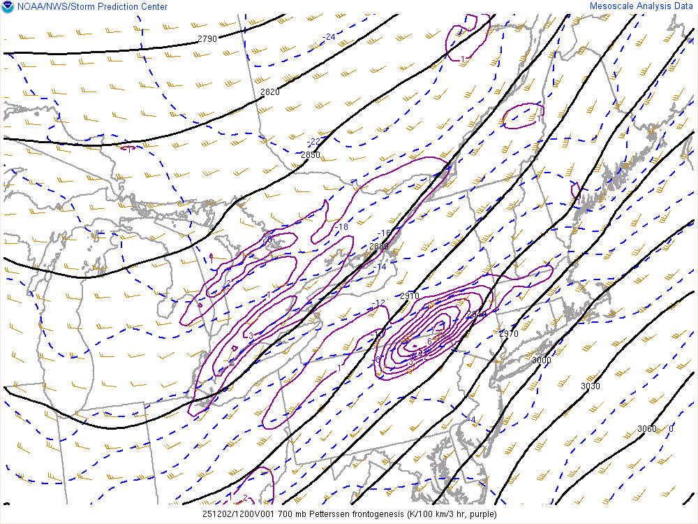
Sorry for a bit of mesoscale PBP, but yeah, it's coming. 850mb banding is about to start cranking, huge fronto uptick over the Southern Hudson Valley
-
Very impressive band over Albany right now, this is likely more associated with the cyclone starting to get it's act together rather than the WAA forcing we've seen to this point
-
Should fill in as the cyclone gets going... rapidly too. There's a good slug of dynamics lined up that will only improve as it approaches
-
850mb fronto really starting to kick into gear upstream as H8 works to close itself off. Heavy rates are likely to develop along the coastal front soon. Central New England still doing nicely under some respectable H7 fronto delivering steady moderate snow
-
Light rain showers in South End, Boston
-
Deformation band showing up right over BTV and into Mansfield. Take the over for the Spine?
-
H7 fronto is fueling this banding in the WAA. Once the 850mb low begins closing off this afternoon, banding will shift closer to the surface low
-
The jack should be where the WAA portion of the storm is maximized, and the banding this afternoon overlaps the most. I think the deformation is gonna come in a bit NW of modeling, seems like the atmosphere has it’s preferred deform location across Central NH based off prior events (aka congrats Dendrite)
-
Looks like BTV will be ticking up totals for Thursday along the spine if that modeling holds