Boston Bulldog
-
Posts
869 -
Joined
-
Last visited
Content Type
Profiles
Blogs
Forums
American Weather
Media Demo
Store
Gallery
Everything posted by Boston Bulldog
-
2025 Atlantic Hurricane Season
Boston Bulldog replied to BarryStantonGBP's topic in Tropical Headquarters
Unfortunately conjecture on potential future products and whataboutism does not fix the immediate gap in coverage we have right now going into the heart of Hurricane season. This short sighted decision will degrade forecasting and public safety immediately. -
2025 Atlantic Hurricane Season
Boston Bulldog replied to BarryStantonGBP's topic in Tropical Headquarters
Track accuracy and cone narrowing from the NHC is probably the most noticeable improvement that has taken place in the past 20 years, take a look at what the cone looked like for Katrina when it entered the Gulf. Every bit of resolution for data matters immensely. Microwave data for track accuracy with numerical modeling has also taken gigantic strides. Losing a reliable ability to place the exact center with high resolution (in the absence of in-situ radar and hurricane hunter data) will certainly have repercussions down the temporal dimension of outputs. Intensity still remains the lowest skill forecast variable, which is no surprise given its stochastic nature. It will get so much worse without as frequent “under the hood” looks at the structure, especially as the observed increase in RI events globally continues. -
2025 Atlantic Hurricane Season
Boston Bulldog replied to BarryStantonGBP's topic in Tropical Headquarters
Yeah this is a huge and totally unnecessary loss. RI forecasting in real time will take a major hit. While there are a few more microwave options potentially available, losing SSMIS will inevitably degrade hurricane forecasting skill. The hits keep coming -
Couldn’t recall if that stat was just a single station or the whole state. I thought whole state, but the anomaly would be crazy high for such a large area. I’m assuming this is BTV or Morristown now that I’m thinking of it. Insane statistic regardless, and pretty surprising that snowfall numbers were still pretty good up high. Lots of elevation dependent events that year
-
Hey all, I recall a statistic going around last season that showed from Dec-Feb 2023-2024 Vermont was +7-8F above normal. I’m trying to pull that statistic, but NCEI historical climate reports are only showing me a +6.3F anomaly for Vermont as a whole for February. No info for Jan or Dec. I can pull average temperatures for the Dec-Feb period, but not temperature anomaly. Can someone point me in the right direction where to get the temp anomaly data for VT?
-
That’s the summer in Manhattan experience baby!! Not refreshing
-
Central & Eastern Pacific Thread
Boston Bulldog replied to Windspeed's topic in Tropical Headquarters
I am so curious what the winds are in this thing right now. Conventional wisdom would say that Erick is bombing out and maybe some insane wind gusts are wrapping around the eyewall. However, I can't help but notice the trochoidal wobbles of the pinhole eye. This circulation isn't fully stacked on a tiny axis centered within the pinhole eye just yet. Rather the eye is wobbling around within a larger local circulation, most likely a EWRC. I trust the 125mph estimate for now -
Central & Eastern Pacific Thread
Boston Bulldog replied to Windspeed's topic in Tropical Headquarters
Insane rate of intensification in the past hour. The EPac has delivered some ridiculous RI landfalls in recent years. While not quite Otis (and thankfully far away from major population centers), Erick is putting on one of the more remarkable RIs while approaching landfall in a long time -
NWS HeatRisk is slowly escalating from Sunday through Tuesday, though we still aren’t seeing Extreme values punching into New England just yet. https://www.wpc.ncep.noaa.gov/heatrisk/
-
Pressure only in the mid 990s and yet this is an absolute shellacking. Mid-latitude cyclones will be deeper in the winter due to increased hemispheric baroclinicity, so subtract a substantial amount of millibars if this storm came in winter, but goes to show how a Nor’Easter doesn’t need to be a tightly wound mega bomb to deliver huge QPF. Let’s do it again in January. Classic bowling ball Miller B
-
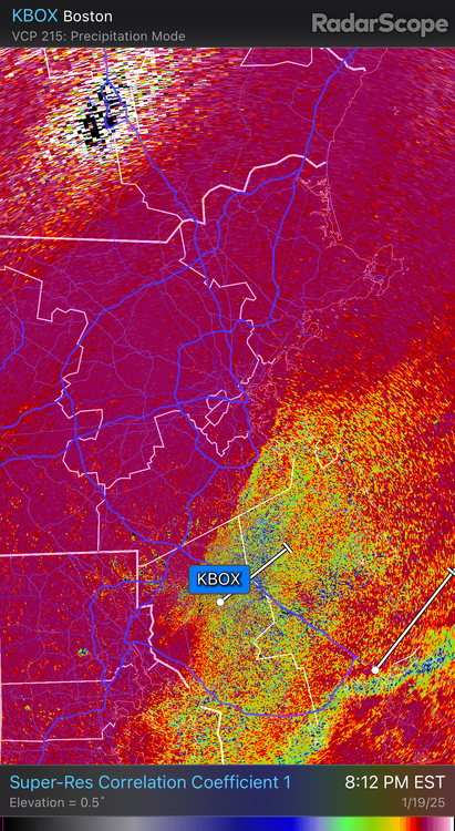
Been a LONG time since the Boston Metro has gotten a blocked low, conveyer belt QPF bomb. Much different storm at the synoptic scale, but that radar across EMass looks like the March 2013 firehose. Huge returns pivoting in off the Bay, RI and South Coast slotting
-
Long Island is also susceptible to the pine barrens burns, take a look at the Sunrise Fire of 1995. A major urban conflagration event won’t happen in New England, the Hamptons on the other hand….
-
Spent two winters in Manhattan now, and this seems generous. Not once did streets even get coated decently down here. I work in midtown, have never seen snow accumulate on the sidewalk when I leave the building. Fortunately back to snowier places next year
-
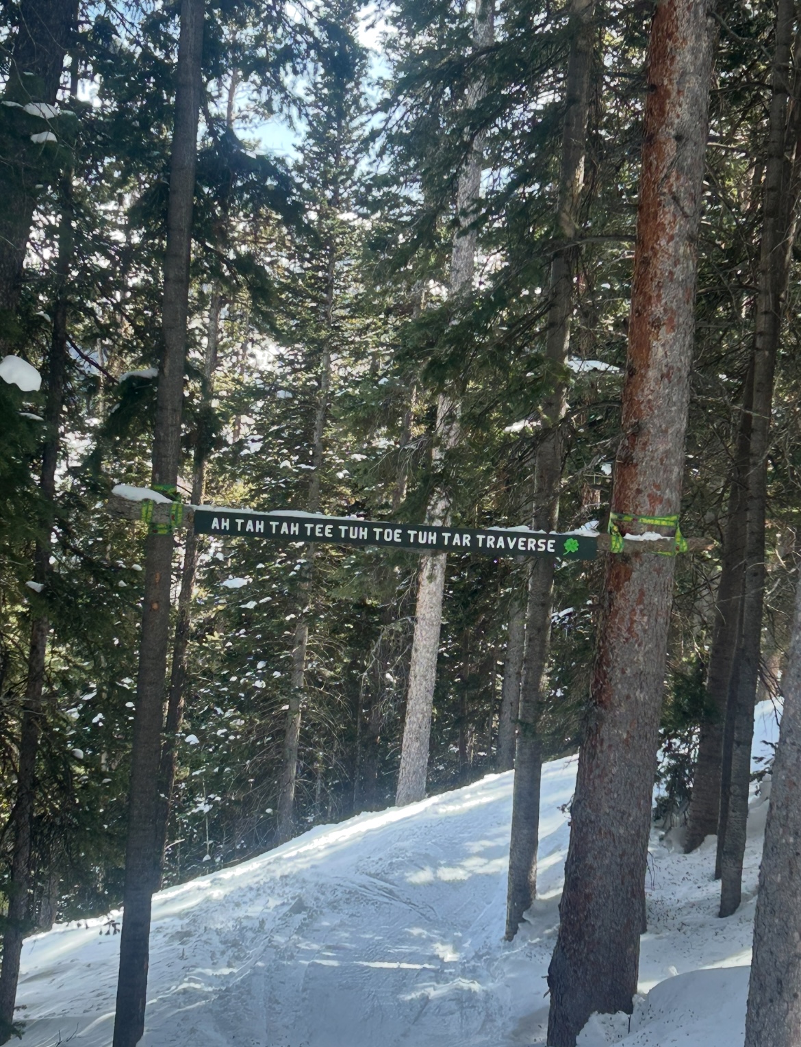
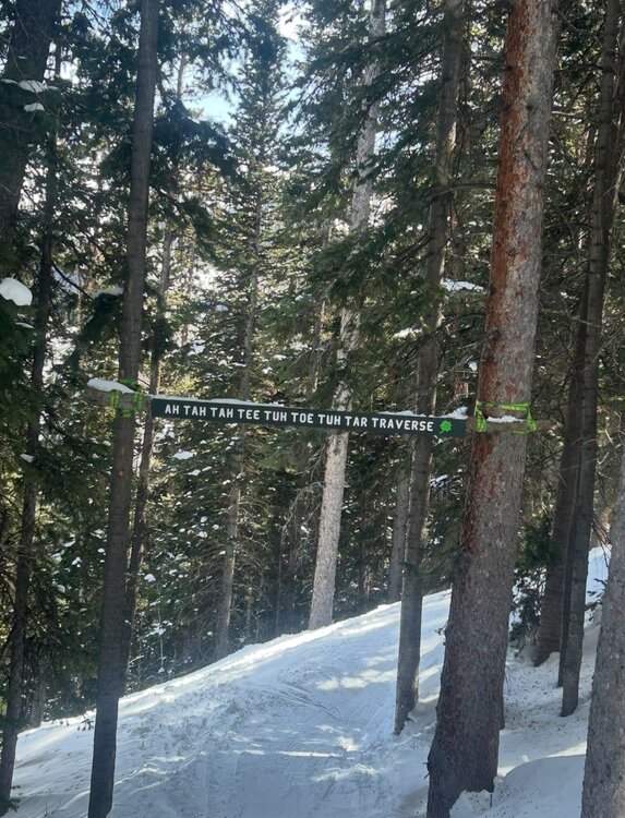
Aspen Highlands is notorious for its signed but off-map glades and chutes. Came across this one tucked away in the trees of Temerity, really rolls off the tongue
-
Always love that view looking down Goniff Glade. Magic is such a special mountain, so happy to see they figured out their lift problems
-
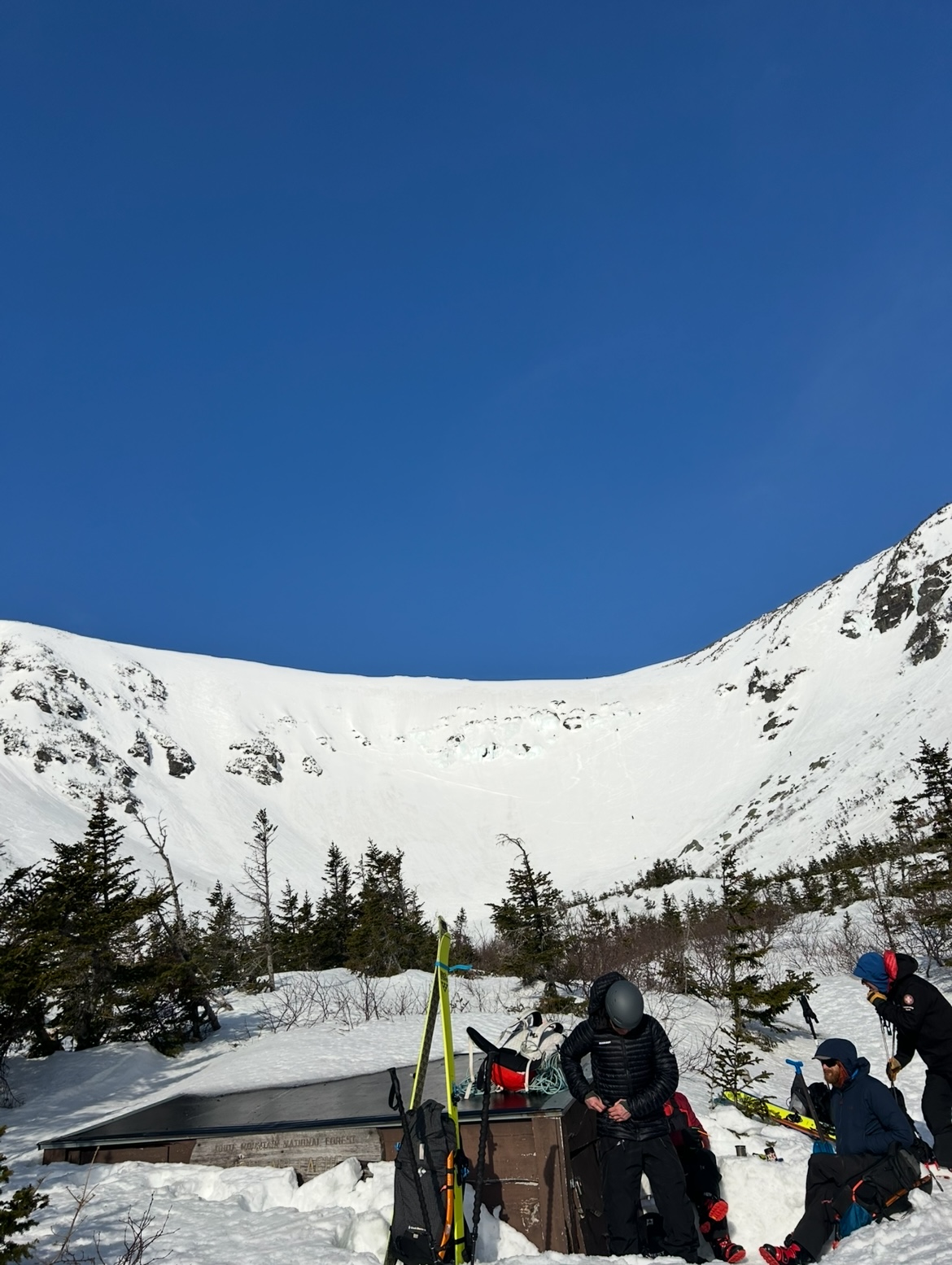
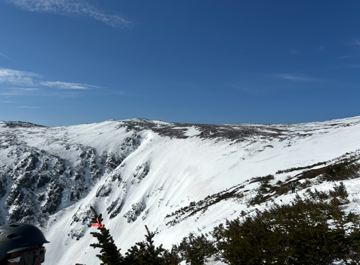
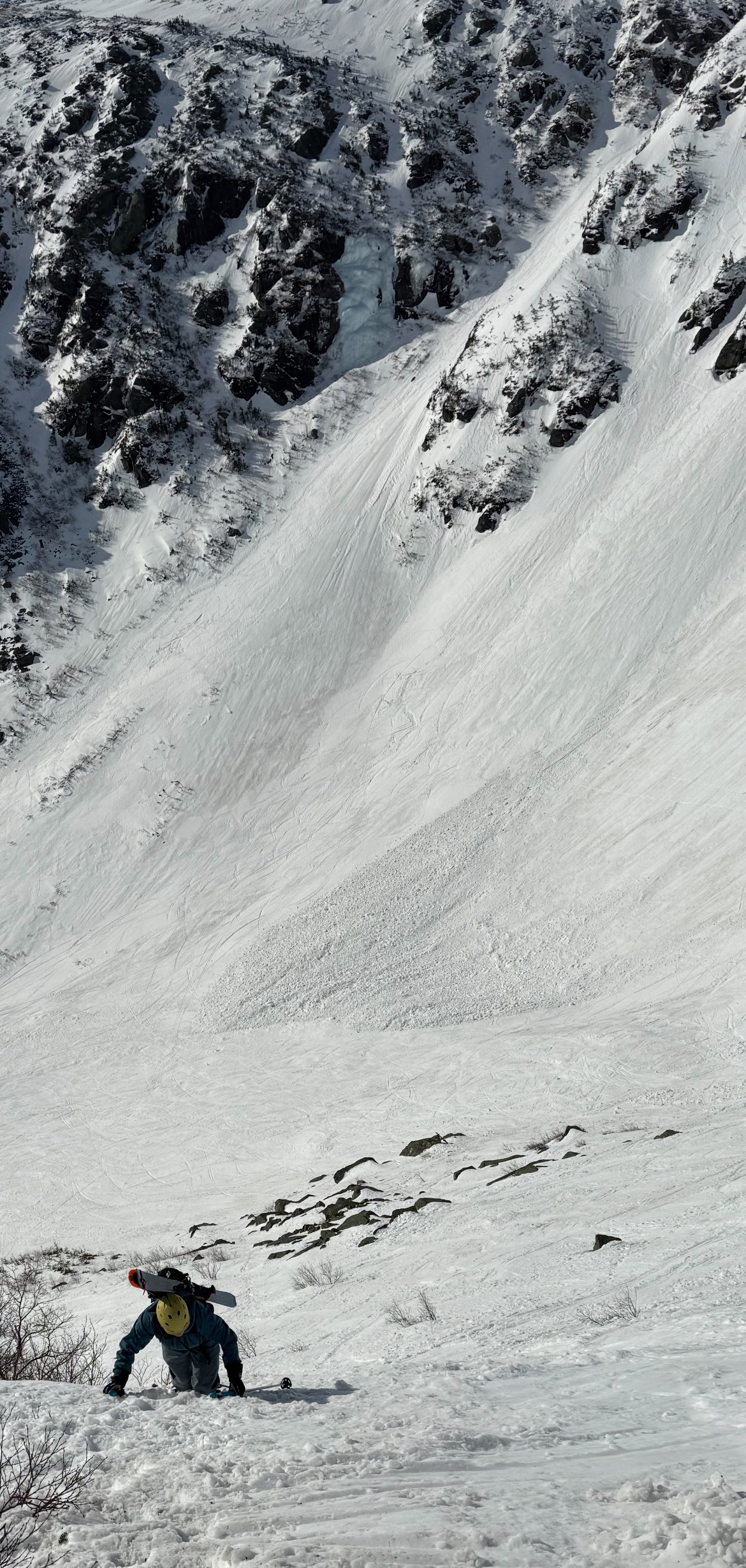
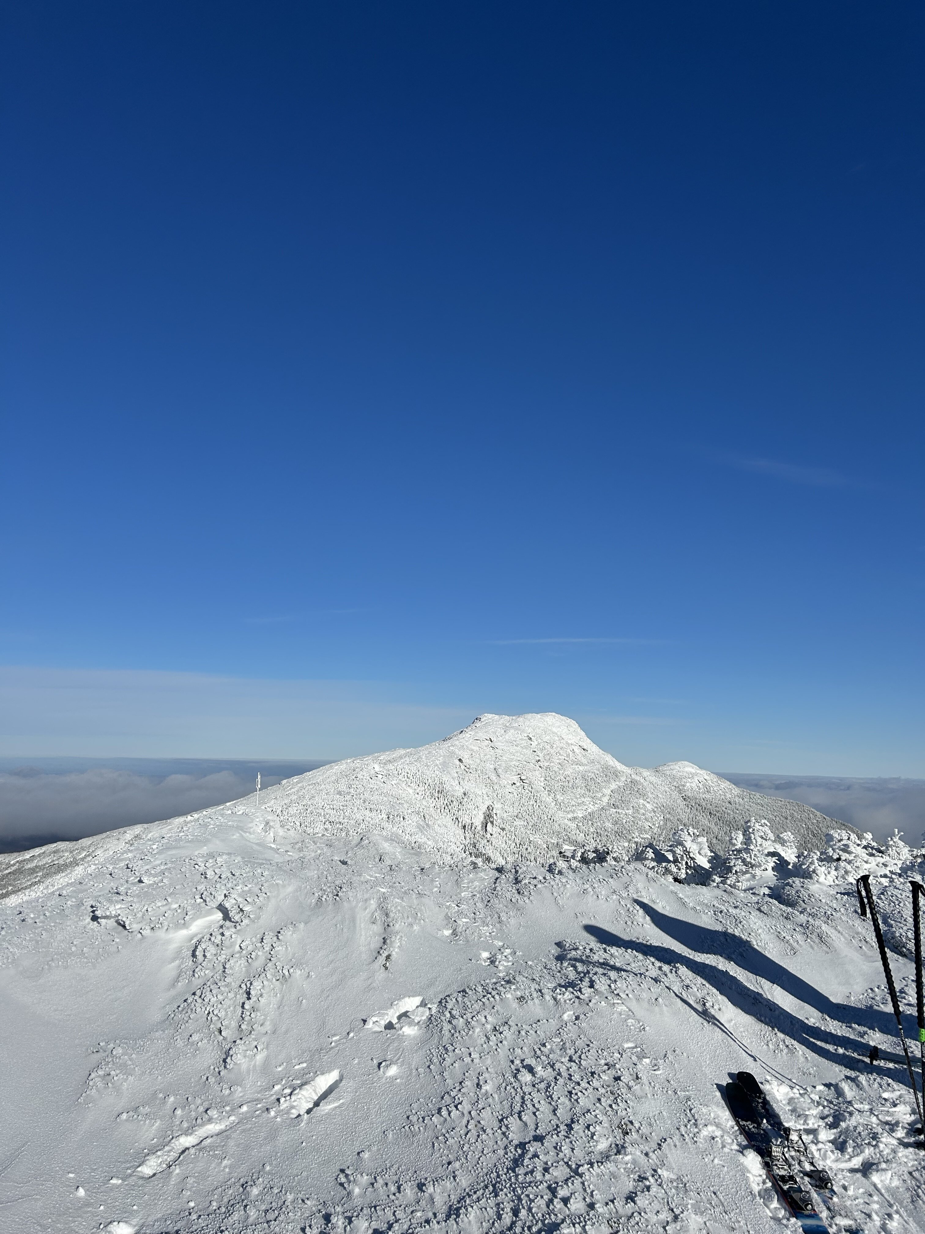
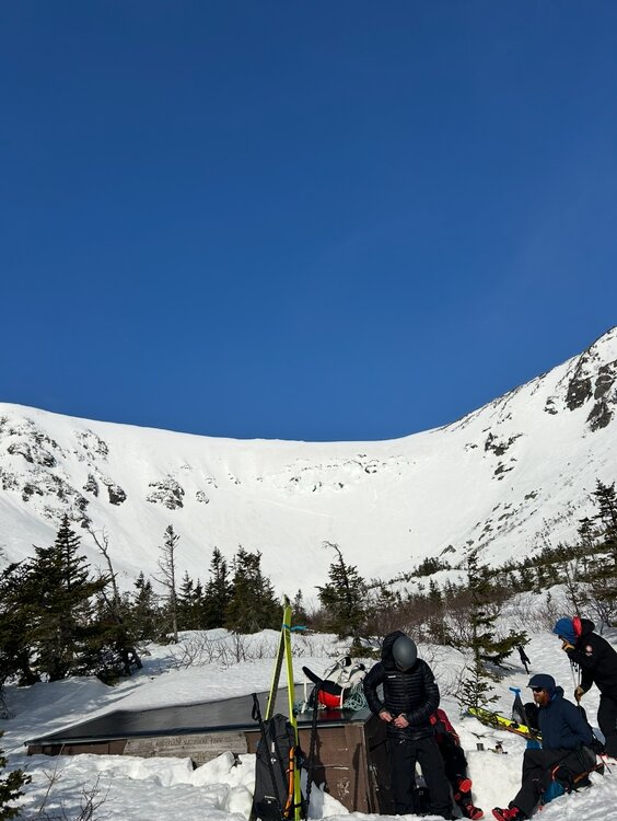
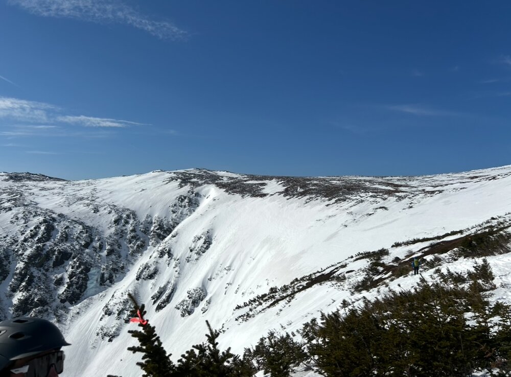
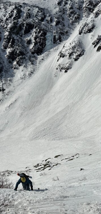
Tucks was absolutely primo yesterday. Low 40s in brilliant sunshine led to a superb corn surface. Winds were angry at times but manageable, and the bowl was mostly protected from the southwesterlies. Booted and skied Right Gully and The Chute (RG booter shown above). Chute is a legitimately terrifying ascent, thank god for crampons. Note the avy debris from a huge slide triggered by a rider on the headwall Tuesday. The Inferno race was ongoing on the Lip and Hillmans as well. Pretty insane to see race gates up on the summit cone! Lower elevations are melting fast, get it soon if you want to be able to ski back to the car!
- 344 replies
-
- 14
-

-

-
Pretty severe brush fire outbreak across Long Island today. They aren't strangers to wildfires out there though, they've had some big burns such as the Sunrise fire back in the 90s. I do a lot of wildfire risk modeling in my line of work and it's always stood out to me that the risk in the pine barrens of New Jersey and Suffolk County NY is substantially higher than anywhere in New England. Saw a lot of talk this past Fall speculating if a large destuctive wildfire (with urban conflagration potential) would happen due to the drought - don't think it could happen in MA or CT, but the Hamptons are an area to watch in the future.
-
Pretty awesome that MWAC added new zones to their observations coverage. Looked like some shooting cracks and major wumphing all around Smugglers Notch last weekend. Did anything big end up sliding in VT?
-
Looks like a big time upslope event should be in the cards after this powerful weekend storm passes. Deep occluded low over New Brunswick bringing in a prolific moist feed from the Maritimes.
-
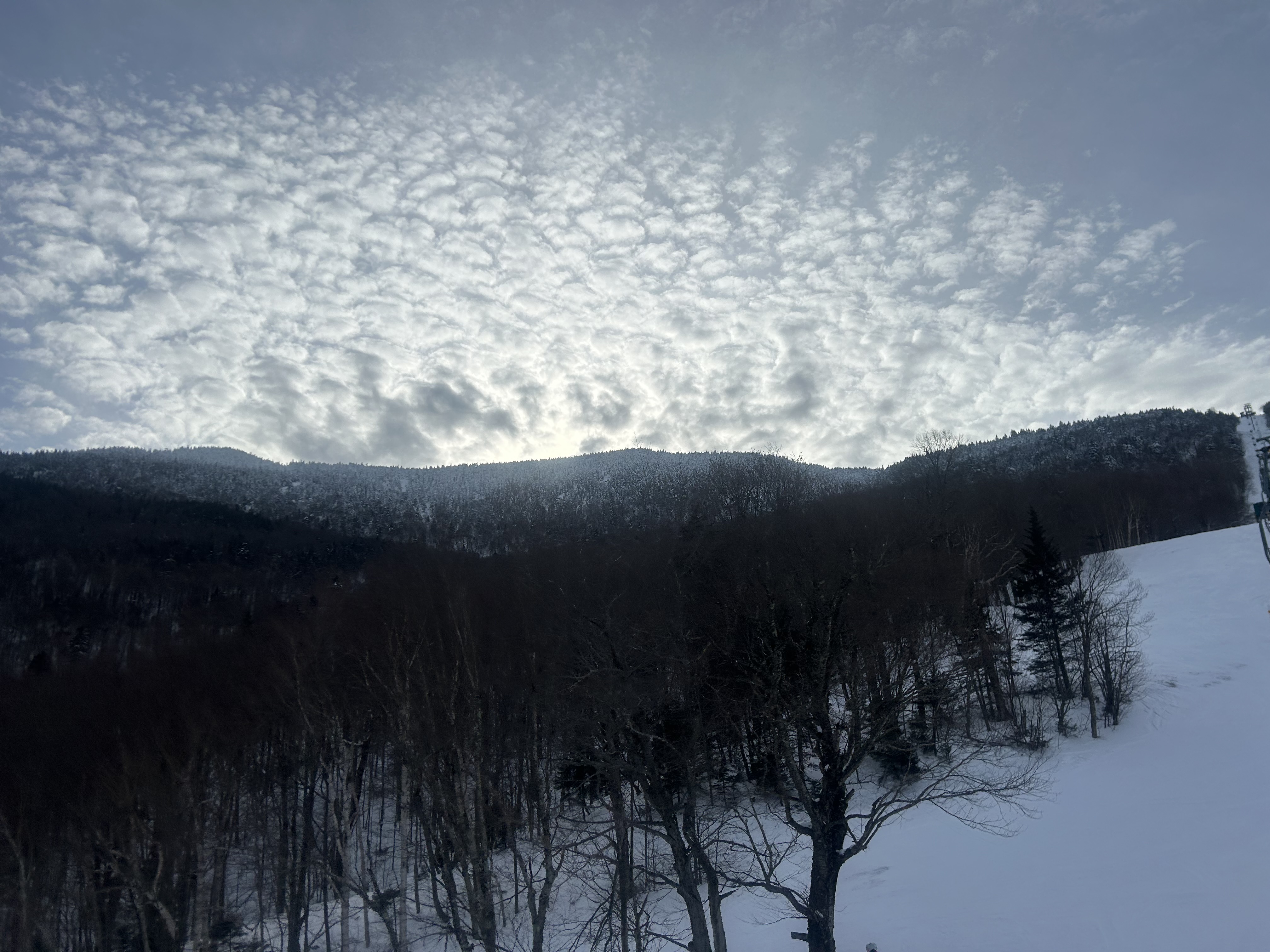
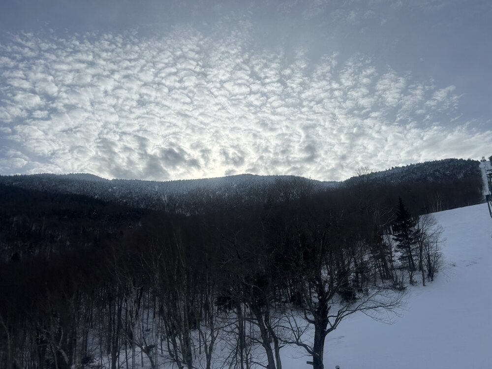
I will always contend that the MRG ridgeline off the Single is some of the most exciting inbounds skiing in the East. Last weekend was no different - Fall Line, Paradise, and the plethora of cliffs and chutes as you push farther out were all in incredible condition. Also, the zone looked beautiful late Saturday afternoon as the sun backlit through altocumulus ahead of the incoming storm.
-
GFS is thumpier for CNE Friday night, both the primary drives farther north and there's a bit more of a handoff to a weak low sliding ENE off Cape Cod
-
I remember for a while this storm looked dead - there was a moderate coastal storm right before it that everyone was complaining was gonna kick this robust setup OTS. Then the 12z runs about 96 hours out or so had a HUGE NW shift… by 0z everyone EOR was in elation. Tons of noise leading up to game time, including the WOR head fake, but I’ll always remember the celebrations when it became clear that this wasn’t going OTS.
-
More southern stream involvement with the clipper Wednesday night on the 0z GFS… but the models have been absolutely all over the place for mid-week. Vorticity features are hundreds of miles apart from run to run. I don’t think this fast flow in the northern stream will be properly resolved for a while. Also the fast flow will make timing difficult for a larger event.
-
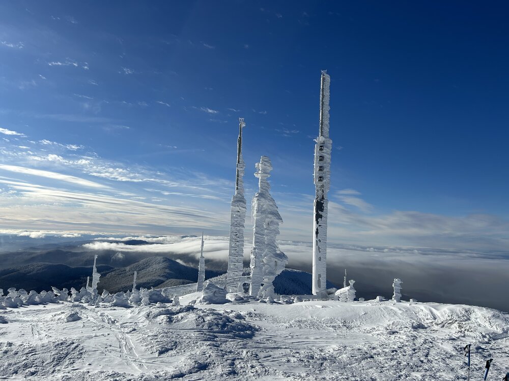
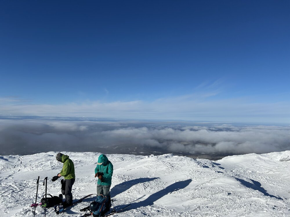
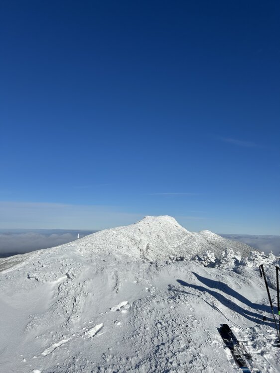
Western slopes are a lot thinner than the spine and eastern slopes, but the Teardrop was still a ton of fun. A true tricep burner of an ascent though. Man, they knew how to cut trails back in the 30s.
-
Any guesses where the mix line is? It’s ripping east at a good clip right now