hudsonvalley21
-
Posts
4,265 -
Joined
-
Last visited
Content Type
Profiles
Blogs
Forums
American Weather
Media Demo
Store
Gallery
Everything posted by hudsonvalley21
-
Trace of a Trace here (10 raindrops or less) 91 here for the high also.
-
PWATs are decent. Maybe some pulsers. Vertical profiles are warm for tomorrow, shear is not too impressive. But you never know what pops up. Locally here we missed out on the action on Friday, looking for something tomorrow to give things a drink.
-
91 was the high here.
-
In the winter we at times referenced our area as the snowhole. So I’m thinking we can call it the dusthole in the summer months. So how dry will we stay
-
Oh yea, well if gravitylover got .065 and you got .032, I got a trace so there to both of you!
-
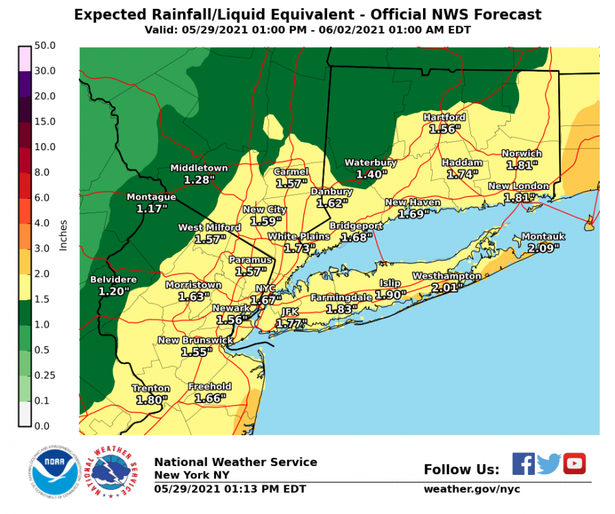
0.02 I’ll be watering tomorrow. Some of my current point n click forecast Saturday Sunny, with a high near 90. Light southwest wind increasing to 5 to 10 mph in the morning. Saturday Night Mostly clear, with a low around 69. Southwest wind 5 to 7 mph. Sunday Sunny, with a high near 94. Sunday Night Mostly clear, with a low around 69. Monday Sunny, with a high near 95. Monday Night Mostly clear, with a low around 71. Tuesday Mostly sunny, with a high near 93. Tuesday Night A chance of sprinkles. Partly cloudy, with a low around 68. Wednesday Mostly sunny, with a high near 91.
-
June 2021 temperature forecast contest
hudsonvalley21 replied to Roger Smith's topic in Weather Forecasting and Discussion
DCA: +1.7 NYC: +2.0 BOS: +2.1 ORD: +0.9 ATL: +0.1 IAH: -0.8 DEN: +0.4 PHX: +0.5 SEA: +1.0 -
I’d take your + .43
-
1.28 in the bucket so far today. Storm total as of 7pm is 3.22. In addition, for the last consecutive 48 hours, the temp has been recorded between 45 and 48 degrees at KSWF. Edit as of 10:30 pm 1.35 today. Event total of 3.29
-
1.28 in the bucket so far today. Storm total as of 7pm is 3.22. In addition, for the last consecutive 48 hours, the temp has been recorded between 45 and 48 degrees at KSWF.
-
My pool temp was at 90 on Thursday. It dropped down to 76 today
-
Mine just went on. The temps have been consistently in the mid 40’s for the last 25 hours and forecasted to remain there thru Sunday night. No sunshine to heat things up for 2 days doesn’t help. It’s just a typical early March weather.
-
-
RIP James. Condolences to your family and loved ones. You’ll be missed.
-
Currently at 46 here. Temp has been in the mid 40’s here for the last 18 hours. Definitely feeling like March.
-
1.91 in the bucket with round 1 winding down.
-
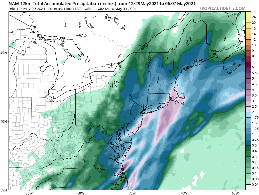
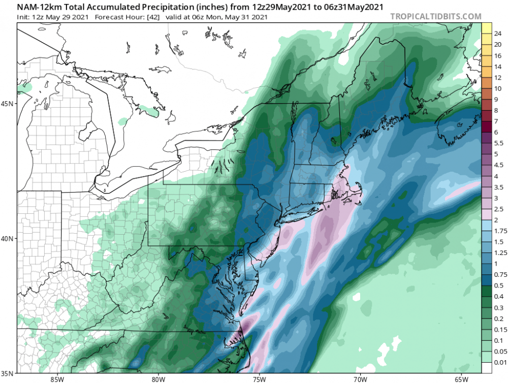
1.91 in the bucket with round one winding down. We’ll see what round 2 brings overnight into tomorrow. Today’s 12z NAM below.
-
1.10 so far up my way.
-
1.10 in the bucket so far.
-
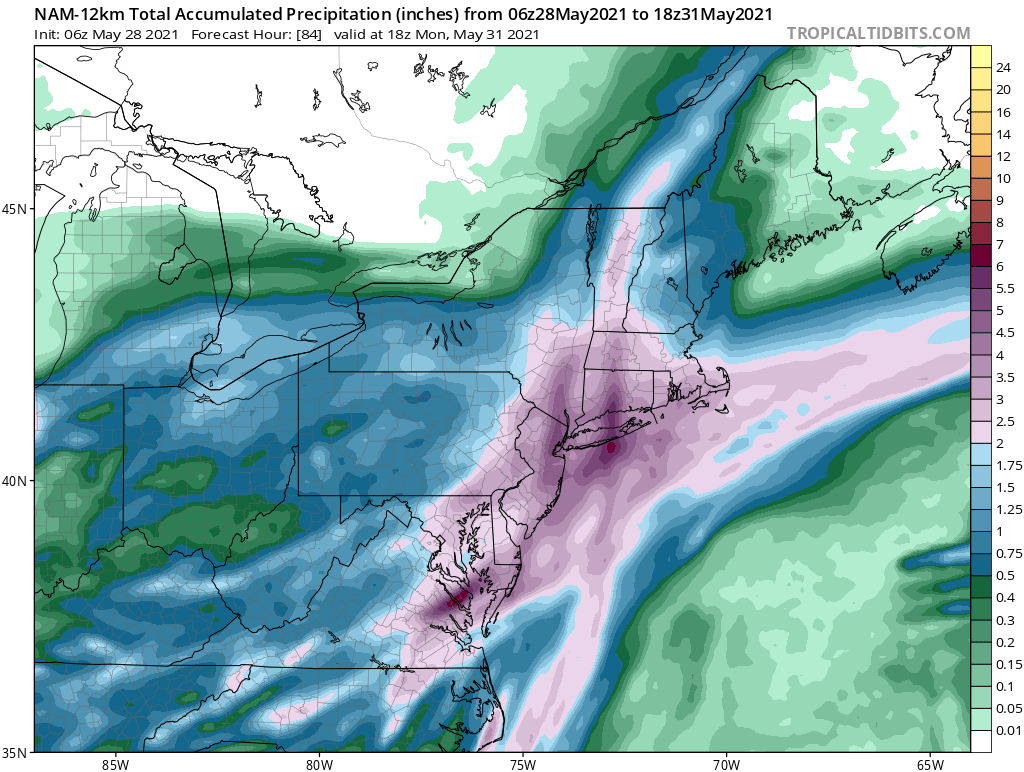
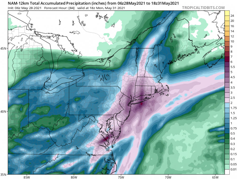
06z NAM says super soaker
-
Got me beat .05 here.
-
90/64 here. Watch now up, with the s/w surface flow no marine influence should knock down what development happens up in our region. Severe Thunderstorm Watch Number 206 NWS Storm Prediction Center Norman OK 245 PM EDT Wed May 26 2021 The NWS Storm Prediction Center has issued a * Severe Thunderstorm Watch for portions of Western Connecticut District Of Columbia Delaware Maryland New Jersey Southeast New York Eastern Pennsylvania Northern Virginia Eastern Panhandle of West Virginia Coastal Waters * Effective this Wednesday afternoon and evening from 245 PM until 1000 PM EDT. * Primary threats include... Scattered damaging wind gusts to 70 mph possible Isolated large hail events to 1 inch in diameter possible SUMMARY...Thunderstorms are expected to continue to develop over parts of Pennsylvania and spread eastward across the watch area through the evening hours. Damaging winds will be the main threat with the strongest cells. The severe thunderstorm watch area is approximately along and 65 statute miles north and south of a line from 45 miles northwest of Staunton VA to 5 miles south southeast of Lakehurst NJ. For a complete depiction of the watch see the associated watch outline update (WOUS64 KWNS WOU6).
-
0.91 in the bucket for the 2 day event total.
-
DCA: +2.1 NYC: +2.0 BOS: +1.8 ORD: +1.9 ATL: +1.1 IAH: +2.6 DEN: +2.7 PHX: +2.0 SEA: + 0.6