wx2fish
-
Posts
2,631 -
Joined
-
Last visited
Content Type
Profiles
Blogs
Forums
American Weather
Media Demo
Store
Gallery
Everything posted by wx2fish
-
Hopefully lasts into early Sept. I'll pass on 68/48 days in August like last year. Sweatshirt nights are for Sept. Still a long battle with 30s SSTs ahead. Hopefully we don't get 70F in ALB and 38F in Boston later this month. Could make for some violence in Weymouth.
-
19" of ice on the lake near my house. All but the top 3-4" is clear black ice too, not cheap frozen slush. Gonna take a long time to thaw that out. Ive seen more a few times, but its definitely a high end ice year locally (SE NH).
-
I'm sure it varies, but a quick glance at a few stations and for interior SNE and CNE were something like 65-75% into the snow season
-
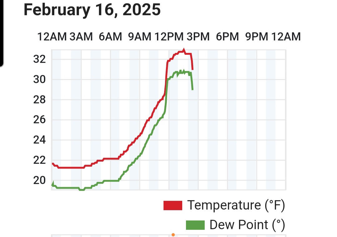
My Davis is so sheltered its useless for wind, but its definitely ramping up the last half hour. Gusts are becoming more consistent
-
Yeah nothing crazy locally yet. 925 winds peak later today, might be more of a 3-5pm max around here
-
59KT FIT too
-
1.3 last night. 7.1" total. Depth is 13-16".
-
+SN now
-
Been back and forth between hammering sleet and hammering snow. Mostly snow now
-
Just flipped to snow after about 1/4" of sleet
-
Tuck in full force now, down to 25F and falling quickly off a high of 34F. I'm guessing that next batch will be sleet but well find out shortly.
-
Been a slow grind south but the CF just slipped through. Probably starts moving a little quicker SE this evening
-
Near downtown Derry now.

-
CF may have maxed out just before reaching MHT. Meso stations near exit 5 on 93 dropping back into the 20s. It'll be interesting to see if its just waffling back and forth or it's really starting to press south.
-
Yeah drilling sleet still here. Looks like the CF is up around exit 4. It probably collapses late day/evening but it would be nice to avoid a ton of 33 rain. Pack really does look solid, haven't had this much meat in one in a few years. This stuff was so dense it took out my mailbox off the plow.
-
I'm sure the -SN obs at FIT and ASH aren't helping the ptype algorithms. Even though it's really sleet with some snow grains
-
CF went though here the temp jumped to 32-33F. Still a good deal of low level flakes though, so I'd imagine that 925-850 level is still pretty cold for the MA/NH border region
-
Probably some of that too. CF just went though here. Quick jump from 27 to 32. Still IP/snow grains
-
Likely temporary CF enhancement, but there's alot of flakes mixing back in here.
-
Up to about 6" snow/sleet. Fine pellets and snow grains for the last couple of hours. 27F.
-
Not atypical for a swfe type setup, but Newburyport may be the last place in MA to flip to sleet.
-
Looked margianlly colder at the sfc. Kept from here to ORH at or below freezing for most of it Solid thump too tonight.
-
FEB...CON -4.9F MHT -4.1F. Should drop more next week. Deep spring in NH
-
Canadian sure isn't supressed. Right into SNE
-
Soundings are pretty much snow for MHT through 15z. Not sure I buy how much it washes out the warm layer aloft