

wxman
-
Posts
865 -
Joined
-
Last visited
Content Type
Profiles
Blogs
Forums
American Weather
Media Demo
Store
Gallery
Everything posted by wxman
-
Define "coast". Verbatim NYC gets 10+ on the 18z GFS. Down the Jersey Shore and LI, yes, much less snow.
- 993 replies
-
- 1
-

-
- metsfan vs snowman
- bomb
- (and 2 more)
-
1" total here.
-
Well, the 18z hrrr gives us 4" lol........
-
That's the definition of noise. The best I can say is it didn't go south.
-
I saw three flakes just now.
-
1" even. Snow done. Nice! Temp 24.
-
Nice burst of snow. 24 degrees.
-
Elevation helps a lot in these marginal temp events. Was in downtown Somerville last night and virtually nothing OTG. On the hill the ground was completely covered.
-
4.75" final total
-
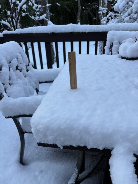
Everything but paved surfaces covered. .2-.3 on the picnic table. 31.3
-
32.5 with light snow grains/sleet falling.
-
The parade may suck but it's on NBC as it has been for years.
-
Light wet snow here. No accumulation. 34.7
-
First scattered flakes of the season in my backyard. 34.7
-
All of a sudden the winds picked up and temp dropped 3 degrees. Down to 38. Could get a little interesting even here.
-
.07 storm total. A bust of epic dimension, can only imagine if this were winter storm....
-
2/13 Significant/Major Winter Storm Discussion & Observations
wxman replied to Northof78's topic in New York City Metro
8.25" Storm Total Final. 17.27" YTD -
2/13 Significant/Major Winter Storm Discussion & Observations
wxman replied to Northof78's topic in New York City Metro
7" OTG. 31.3. Light snow. -
2/13 Significant/Major Winter Storm Discussion & Observations
wxman replied to Northof78's topic in New York City Metro
6" OTG. 31.1 -
2/13 Significant/Major Winter Storm Discussion & Observations
wxman replied to Northof78's topic in New York City Metro
3" OTG. Temp 30.6. Heavy snow. -
2/13 Significant/Major Winter Storm Discussion & Observations
wxman replied to Northof78's topic in New York City Metro
2" OTG. Temp 30.7. -
2/13 Significant/Major Winter Storm Discussion & Observations
wxman replied to Northof78's topic in New York City Metro
If we get a major snowstorm tomorrow then two lessons, sometimes the NAM can lead the pack...and they don't ALWAYS trend north........... -
2/13 Significant/Major Winter Storm Discussion & Observations
wxman replied to Northof78's topic in New York City Metro
The interesting thing to me is the south trend is evident almost the whole run, the NAM sucks, but doesn't suck as bad in the short range. This may not be done trending. -
2/13 Significant/Major Winter Storm Discussion & Observations
wxman replied to Northof78's topic in New York City Metro
If the NAM is right areas around Baltimore could get more snow than Boston. -
2/13 Significant/Major Winter Storm Discussion & Observations
wxman replied to Northof78's topic in New York City Metro
You can say that again!

