jm1220
-
Posts
26,187 -
Joined
-
Last visited
Content Type
Profiles
Blogs
Forums
American Weather
Media Demo
Store
Gallery
Everything posted by jm1220
-
Sleet line mixing out still.
-
2.5” in Long Beach. Sleet, sometimes rain and big flakes. Congrats
-
Sleet/snow mix. Fighting back and forth.
-
Aargh sleet! Man down man down!!
-
Sleet might be getting mixed out again w/ the echos coming into the city.
-
The heavy rates bailed us out. If only the temp here could be 2 degrees colder but still 2” so far.
-
1.5” or so here. Heavy paste snow.
-
Ugh, radar break over I-287 fill in. That’ll be the sleet line charge north. This is awesome so far.
-
1” in Long Beach. Paste bomb so far.
-
When the choppy echos get here is when the sleet line will really surge north. For now still a pasting here.
-
Sleet line getting knocked back a little. I know it’ll surge through here sooner or later but heavy rates doing work.
-
Snow mixed back in, car tops covered.
-
Can see a sleet line starting to form between Allentown and Long Branch roughly.
-
It should, temps will wetbulb down and heavier rates should bring snow down to the surface.
-
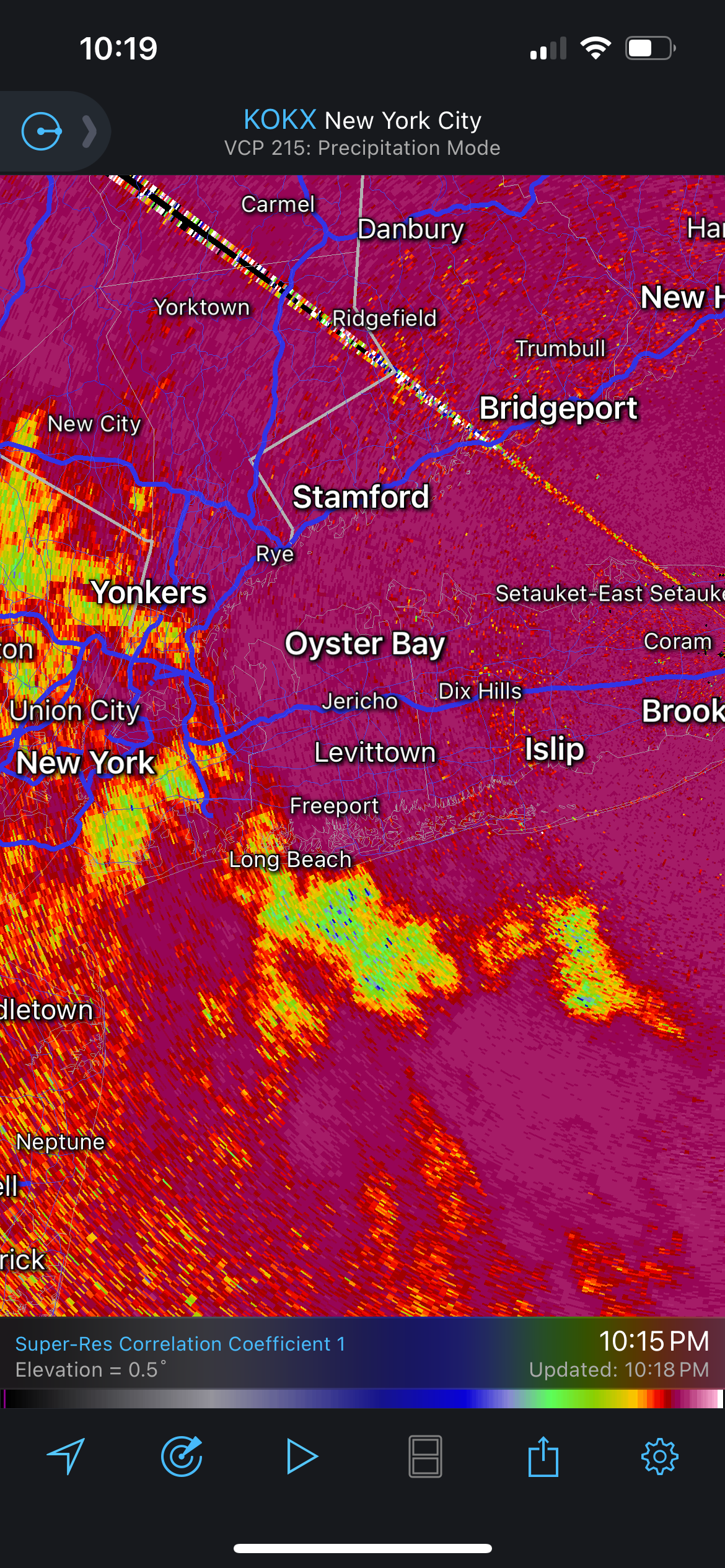
Long Beach-Sleet is here!
-
On CC radar sleet is pinned right around ABE and not advancing yet.
-
Dewpoints are in the low 20s so we’ll wetbulb down, but we still have an onshore wind so that will try to raise temps. Then of course we have the strong mid level WAA at 750mb.
-
Reading the central PA forum pretty much everyone is starting as then pounding sleet. Hopefully around Allentown we see the cold air make a better stand, otherwise from I-80 on south we probably just start as a pellet fest.
-
I do like that it looks like a solid heavy slug of precip in PA. Hopefully it can hold the warm air back a little. And sleet pounding into it will just make it heavier and longer lasting. I don’t really mind mixing with sleet if we have a few inches down first (not what I’m expecting on the south shore but maybe at home on the north shore).