jm1220
Members-
Posts
24,359 -
Joined
-
Last visited
Content Type
Profiles
Blogs
Forums
American Weather
Media Demo
Store
Gallery
Everything posted by jm1220
-
Very rare that we get to 1/30 and if there is no winter at that point there’s a miracle turnaround. Fine as far as I’m concerned, at least do away with any false hope and move us onto spring.
-
If we could buy a sustained +PNA with cold available to be sent SE we would be fine. But we get brief cold windows where we can’t get anything to produce other than our minor couple of inch events, and long periods where we turn into San Francisco or otherwise torch because the Pacific is awful and flings wave after wave of puke east across the country, and/or the cold is mostly shunted across the pole.
-
So basically we have a more wet Nina winter. Can certainly tell that today. Yippee!!
-
They probably get 1-3” and toward the end as the cold air comes in and especially if there’s a CCB feature that develops. The lousy airmass and easterly wind problem hurts them too. I just want to get some pattern to develop that gets me meaningfully over the way below average 5” on the season. Even more sucky is that DC has up to double what we have. This is just god awful for mid winter. But if not I’d rather not have false hope and we just torch from here on out. Rather be able to enjoy the outdoors then.
-
Eventually our luck with these north-based Bermuda highs and ridges that drive in S winds and the worst heat overshoots north will end and we'll torch on W and WNW flow again.
-
My shovel is sitting collecting dust for a second straight winter. Wouldn’t surprise me if it keeps sitting there until next year. Unless it’s to help bail out from our record rains which of course we can count on now like clockwork.
-
I was in torture living 1800 miles away at the time. The potential was really there but in a Miller B situation getting that to NYC would've required a picture perfect setup but the usual late development killed it.
-
To me this will trend north like these usually do which means stronger but more warm air kept in and a better storm for New England and I-84. Or it gets weaker and shifts south but fewer dynamics so a lousy outcome for everyone. Again the ceiling for us near the city is very low, maybe a sloppy inch or two if there’s a middle of road outcome? Given this setup I don’t see how this can end well here given what we’re going into the storm with airmass wise. Expectations should be very low outside the favored areas I mentioned.
-
I’m not optimistic on this one mostly because we’re in a position near the coast where we have to wait for cold air to come in or dynamics to generate cold which mostly fail here. Of course places that need less help like up near I-84 or I-90 to Boston are favored. There’s the PNA that could help this be a good track but an L in the right place doesn’t guarantee snow, and we’re going into it with a putrid airmass. 97-98 type system.
-
Not entirely accurate-5” or so for the season for the N Shore but yeah-the S Shore once again is the worst place to be for snow outside the Delmarva. That NYC and notch to cover the S Shore is an absolute snow pit since 18-19.
-
Maybe with the northward Hadley cell drift over time we’re becoming more Carolinas/FL climate-like with more S wind driven heat/humidity in the summer. It’s OT but the next time we have a W wind driven heat wave we’re in big trouble. The rest of the country is heating up like this over the summer and FL just had a record hot summer, it’ll be our turn soon enough.
-
It’ll suck but I’ll be good if it’s 50 and no snow on the ground. It was the story all last “winter” and most of 21-22 other than January. Rather that than frigid and no snow, at least when it’s 50 you can do things outdoors. Just hopefully in this next Pacific projectile vomit period it’s not full of rainy cutters that destroy whats left of the beaches and flood the rivers. And we can get one last chance at something decent in Feb before totally calling this winter another fail.
-
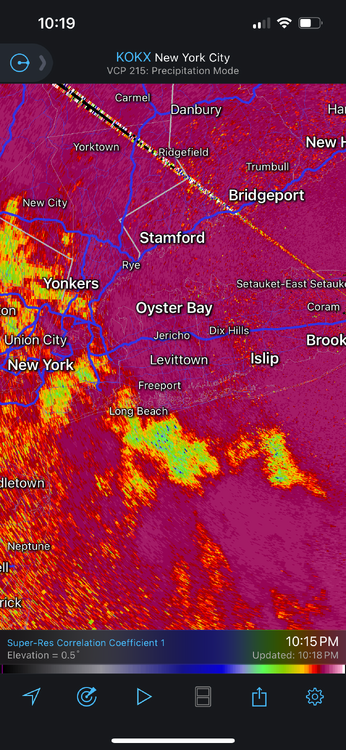
I had 12-13” in Long Beach in that storm. Bellmore/Wantagh on East is where that sound enhanced area set up at the end of the storm and dumped another 6” probably. It was very noticeable on the Wantagh Parkway coming out of Jones Beach. East from there it increased and there must’ve been 20”+ in Deer Park. Driving up 231 back to my place it dropped off again around Dix Hills and at my house there was probably 15”. That band that sat over SW Suffolk must’ve really dumped. In Long Beach that few hour period was light to moderate and lots of blowing snow, and radar showed it heavy in those places. Long Beach benefits in only maybe 1 of 50 setups. Gets screwed over in any winter setup otherwise. Where I live now also very rarely is the jackpot but cumulatively does well over an entire winter.
-
Holbrook is the boom/bust part of Suffolk. Max out on storms like the Jan 2022 blizzard and the big offshore storms that blast New England, get skunked today. I’d still take that trade over Merrick where he came from. In S Nassau you can’t seem to win with any setup. Looks great at my house now, definitely way more than Long Beach got. Nice fluff storm here. I definitely traded up snow wise as sad as it’s been.
-
If we’re throwing away 10-14 days at least in our biggest snow climo time of the year that’s never good. Hopefully it’s with fewer raging cutters with coastal and river floods and we can get calmer warmer weather you can somewhat enjoy outside. We can still get big snow late in Feb but after 2/20 or so it gets harder, especially into March unless you’re inland and elevated. Nino March also tends to be warm. If the Pacific is roaring back into a frenzy that’s enough for me to close the shades.