Nelson
-
Posts
565 -
Joined
-
Last visited
Content Type
Profiles
Blogs
Forums
American Weather
Media Demo
Store
Gallery
Everything posted by Nelson
-
I honestly don't know if I've seen that color orange on a velocity sig before
-
That's a wild velocity sig
-
Fairly impressive winds as things rolled through here. Nothing major, though. Happy to see some action. Some reports of 80mph+ gusts with that line before it got here but not sure we saw that at my location. I'm guessing more like 50-60mph
-
I don't know. Plenty of dudes out there with their lawn tractors loving cutting lines in their lawn like it's a baseball field. I own a native plant nursery and probably 70% of my customers are women. Apologies on the OT. Boring af weather wise right now (and in the future apparently).
-
AleK knows what's up. Kill your lawn (at least the big parts you're probably not using)...
-
You know it's bad when the Med range thread = Summer Banter thread.
-
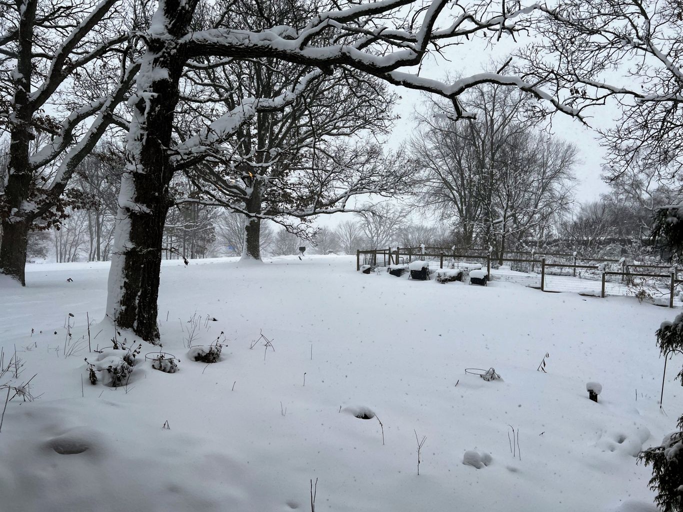
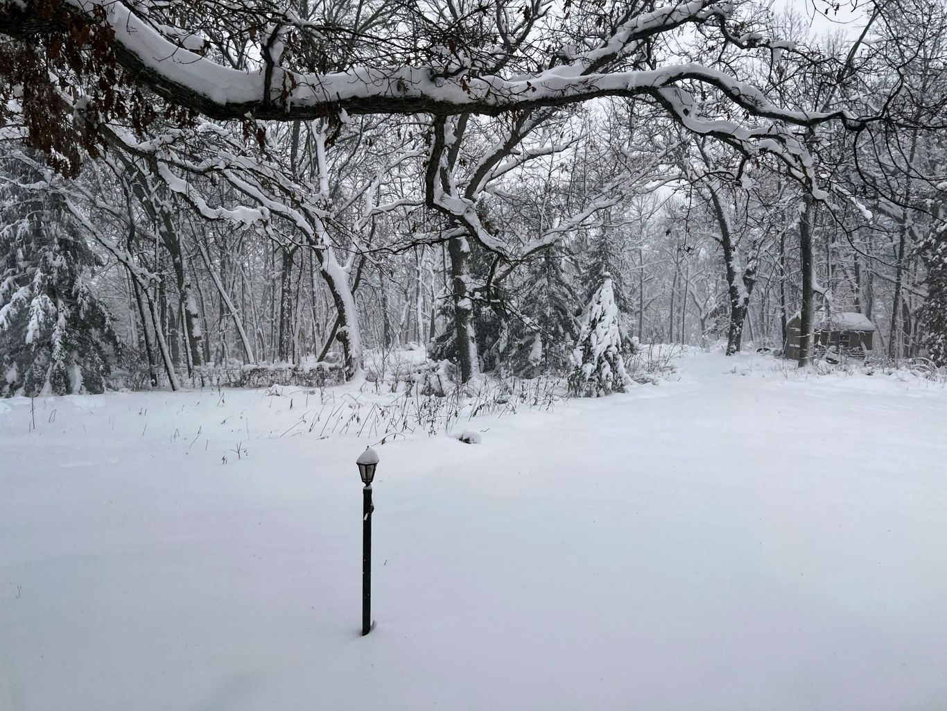
Snow has ended here. Measured 6.7" here west of Madison. Agree with Cyclone, winds didn't quite materialize out this way - seems like areas east of here saw the higher sustained winds and gusts. Very happy with the outcome - local forecast of 5-9" was spot on. Good way to end what was otherwise a pretty boring winter.
-
Models were picking up on the precip lull earlier today. Watch a regional radar and you will see that things are starting to fill in. From MKX: As precip continues to shift east, attention will turn westward toward the precip responsible for phase three of the event. Due to a lack of deeper lift & some lingering dry air aloft, a precip lull continues in locations west of a Monroe-Madison-Fond du Lac line. Anticipate that this lull will continue through mid-evening (~8 PM), prior to filling in as an upper wave & affiliated deformation zone move in during the mid-evening hours. Still anticipate the development of moderate to heavy snow along the deformation band, with enhanced rates continuing into the early morning hours Monday. Will continue to monitor observational & model trends through mid-evening and provide additional updates as necessary.
-
We've got some decent icing on trees/raised surfaces. Temp down to 31F now. Thinking the next batch of precip moving in from S/SW should be snow. Well ahead of schedule (per models).
-
That's what I was thinking however we did just jump to 33F here west of Madison. Reports of snow just to my NW.
-
Temp holding steady at 32F here. A light glaze on above ground surfaces and had some pea size hail earlier. Watching reports out to the west, waiting for switchover later this afternoon.
-

Winter 2025-26 Medium/Long Range Discussion
Nelson replied to michsnowfreak's topic in Lakes/Ohio Valley
Just happy that it looks like that western ridge is finally going to break down/back the f off into the Pacific and give us some chances. I'll take that over the sh*t we've been dealing with. -
Winter 2025-26 Medium/Long Range Discussion
Nelson replied to michsnowfreak's topic in Lakes/Ohio Valley
All of the ensembles are pretty disheartening for any type of change away from the position of that western ridge - That look has been so f'ing persistent... -
Winter 2025-26 Medium/Long Range Discussion
Nelson replied to michsnowfreak's topic in Lakes/Ohio Valley
Doesn't look like we are going to shake this northwest flow (west ridge) any time soon -
1/24-1/25 Major Winter Storm - S. IL, IN, and OH
Nelson replied to A-L-E-K's topic in Lakes/Ohio Valley
I see what you did there... -
Winter 2025-26 Medium/Long Range Discussion
Nelson replied to michsnowfreak's topic in Lakes/Ohio Valley
Hoping the end of run look on the ensembles continues and we can get that big a** ridge to move east - set up for cutter season. -
11/8-11/10 First Snow and Lake Effect Event
Nelson replied to Geoboy645's topic in Lakes/Ohio Valley
Good luck to everyone in the potential path - rooting for a historic event -
11/8-11/10 First Snow and Lake Effect Event
Nelson replied to Geoboy645's topic in Lakes/Ohio Valley
This is wild As a result, the expectation is for the lake effect snow bands to be unusually intense with peak snow rates of 3 to locally 5 inches per hour, frequent lightning and thunder, and pockets of hail. -
You need to find a new hobby...... Your posts are pretty annoying and don't contribute anything to this board.
-
Had 1/2” hail here with a cell that formed right overhead. .
-
Ended up with 4.4" here on the west side of Madison. Pretty close to expectation - thought we might push 5-6" with how much it lingered.
-
Winter 2024-25 Medium/Long Range Discussion
Nelson replied to michsnowfreak's topic in Lakes/Ohio Valley
Barely paying attention until I see one of them chime in... This bullshit isn't helping. -
Winter 2024-25 Medium/Long Range Discussion
Nelson replied to michsnowfreak's topic in Lakes/Ohio Valley
Keep hope alive bro... -
Summer 2024 Medium/Long Range Discussion
Nelson replied to Chicago Storm's topic in Lakes/Ohio Valley
came here to say this... -
Running about as expected here. Guessing 6-7" so far (hard to measure at this point). Might make double digits if this afternoon can produce.