andyhb
-
Posts
20,454 -
Joined
-
Last visited
Content Type
Profiles
Blogs
Forums
American Weather
Media Demo
Store
Gallery
Everything posted by andyhb
-
18z GFS is going to be an absolute crush job. Wider swath of large accumulations with the lead wave and the second one is coming in deeper.
-
Northern stream looks like it's going to be too dominant on the Euro.
-
St. Louis and Indy get absolutely shellacked by the CMC, I-70 special.
-
Did places in N RI and SE MA legit get 4 feet in 1978 or is that just urban legend? Most maps I see from that are around 3 feet or so in the jackpot zones.
-
QPF output on some of these models is nutty. Not very often where you talk about such a moisture laden system that lasts awhile, but this could be it.
-
Too sheared out.
-
This is looking like a top 5er potentially for the general Boston area.
-
 Granted for storms that have no chance of slipping out to sea, the SSTAs will obviously be a positive factor in terms of intensification, but that might not be the case for borderline events or those that suddenly have double low configs.
 -
So when do we start the conversation about what would happen if the SSTAs weren't so warm re: excess convection dragging the surface response east?
-
I believe the dynamic snow ratio (attempts to account for dendrite fracturing due to the wind) from Weathernerds might be a good reference here.
-
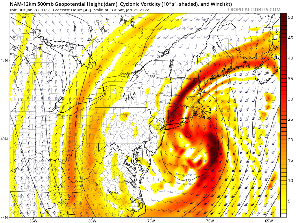
Put this 500 mb plot in some sort of new Kocin-Uccellini textbook because that is just about perfect.

-
Deep, saturated dendritic (snow) growth zone with large amounts of upward motion centered within it from the intense mid-level frontogenesis, cold temperatures closer to the surface -> very, very high snowfall rates. Wind will cut down somewhat, but you'd be easily talking 3-4"+/hr rates with that.
-
Ok what in the actual f*ck...
-
I'd hesitate from declaring this with a potential sub-975 mb low interacting with astronomical high tides.
-
What even is this thread title?
-
Also you don't just see 4-5"/hr rates in a city of that size very often (not counting LES).
-
From what I saw, they were expecting 8-12" but instead it was more like 14-20" over most of the metro (top 5 on record), plus the crazy snowfall rates in that main band and strong winds. NW trend giveth and taketh. Plus this was the rare case that the track didn't favor the coastal low taking over and becoming a true Nor'easter. It probably was close to being their GHD, and certainly the most significant storm for them since January 1999.
-
YYZ is as bad as DCA with their bullsh*t.
-
Curious to see if it challenges the record from December 1944 (19") although YYZ observations are lol. It most certainly is the largest storm for them since the Blizzard of 1999.
-
Toronto's record is 19" (48 cm) from December 1944. This may challenge that, although observations at YYZ are often low and not representative of the city.
-
Knowing some of YYZ climo, large snowstorms like this one (and particularly blizzards) are quite rare for them. There have only been a select few storms in history that have dropped over 15" there, and this looks to join the club.
-
Winter 2021-22 Short/Medium Range Discussion
andyhb replied to Chicago Storm's topic in Lakes/Ohio Valley
Can we not... -
Re: one structure being the basis of the rating, well here you go.
-
You don't need to lecture me about professional courtesy, either. That's why I made that Twitter thread in the first place. The problem is that despite people doing their best to contact others both privately and publicly in the know, very little has actually changed since the Vilonia tornado. Your assumption that other people haven't tried to actually raise these issues to those who know more is off base. Furthermore, with something like the Vilonia tornado, John Robinson, who was the WCM at the time, has clearly made his position on the matter clear via the media.