Radtechwxman
-
Posts
2,481 -
Joined
-
Last visited
Content Type
Profiles
Blogs
Forums
American Weather
Media Demo
Store
Gallery
Everything posted by Radtechwxman
-
I miss accuweather forums. Those were the good ol' days. Lol I feel for your area this winter. Horrible snow drought for most of Central IL into Central IN. The deformation zone of the low on Thurs could impact your area more than mine. Still days out. A lot can change. I72 gets way more severe wx action than here.
-
Definitely excited for the widespread significant snow swath with this system. Models doing their typical north to south wobbles. I'm liking where I sit for now but am definitely nervous as we get closer that a south trend may ensue. Really strong arctic high and that cf coming through a day or so before this system hits has me a bit on edge. I know I have faired better than others in IL this winter but still haven't had a warning criteria snowstorm. Just got missed barely to nw on last one and would be a shame to barely get missed se on this one. Definitely eager to see how this pans out.
-
CC showing signs of mixing to your south but seems to not be advancing north for now. Could be because they bands are convective almost in nature. Even if sleet mixes in, the rates will likely compensate
-
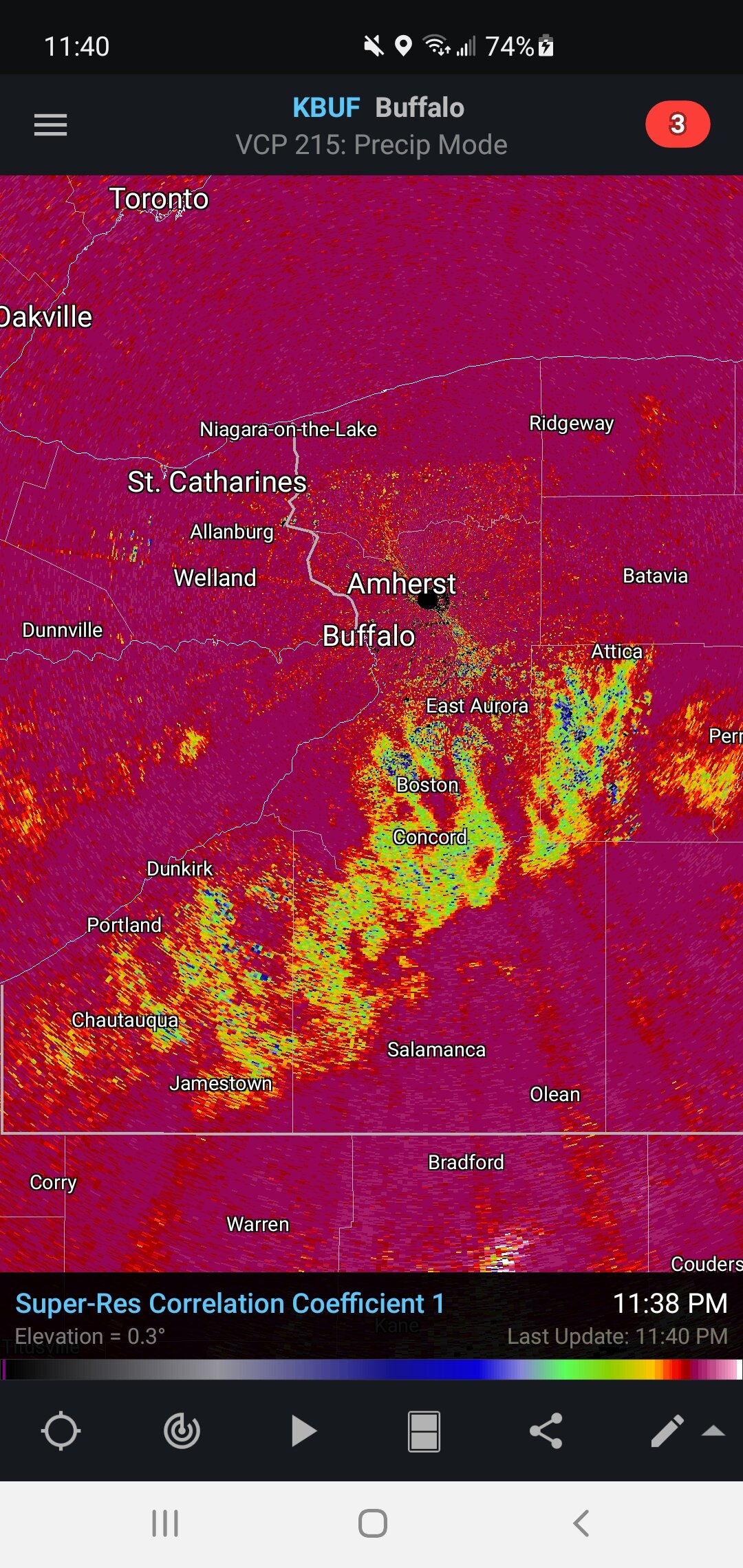
Keep us posted! That band is unbelievable! Reminded me of that one years ago that pounded Binghamton except not stationary but this keeps backbuilding south. Surprised TWC didn't have someone in this area for coverage. Models were always looking good for this area. Think there's any lake enhancement with this band or think it's pure synoptic?
-
Well I got more than I anticipated. 2.4" report close to me. But man I'm ready for a big dog.
-
Seeing best snow now I seen the whole event. Getting some periods of banding and occasional bursts of moderate snow. Temperatures dropping finally with strong ne winds allowing snow to dry out and blow around.
-
This has to be the lamest snow "event" I experienced in a long time. Pixie dust. Wet a** pixie dust. Not sticking. Temps right at 32. Snow has barely made it east of me and you can tell it's fighting dry ne flow. I will be shocked if we get a inch. Make winter storms great again. This sucks. Lol
-
ILX extended wwa east last night to account for higher snow amounts being shown and now 12z runs looks like crap. I will be lucky to crack an inch probably.
-
I feel this. Tough seeing these close misses. Hopefully we luck out next month.
-
Man that sucks. Well I hope a dry bubble forms around you I know this isn't my storm. After it shifted west days ago I knew it wasn't coming back. But still hoping maybe I can get a nice band to park over me and luck out. But not holding my breath. Think 1-2in is more likely and think there is a ceiling albeit low for 3-5in if everything worked our perfectly but not expecting that. Models tend to underestimate dry ne flow so wouldn't be shocked if I get nothing.
-
*insert eye roll and intense death glare* mad jelly. Hoping for a few more east shifts but not holding my breath. Ha
-
Keep the east shift going
-
Nice eastern shift of snow axis on 18z nam. Brings eastern fringe of snow shield a lot more east than before
-
Must be nice. Lol. You're going to score solid on both winter storms so far this year. I'm forever riding on the edge here.
-
Same here man. We are both living on the edge right now
-
Can't get over how far ne rap/hrrr are with low and wintry precip. Almost bring rain into my area. Definitely overdone but makes me wonder if hi res will catch on to a possible slightly more easterly shift and possibly north shift. System comes on shore late tonight. Should have full sampling tomorrow so hopefully will help with model data.
-
Yeah I'm sure it is. They are definitely too east. But I also think globals may be underestimating eastward extent of snow band. We shall see
-
Unfortunately probably. But I can dream right?
-
Lock in 21z rap and 18z hrrr. Ha. If only. Fantasy land for them. Wishcasting 101
-
Obviously long range HRRR not reliable but find it interesting it has the sfc low and snow shield significantly farther east than global models. Definitely something to keep an eye on.
-
Yeah you're sitting pretty for this. Me not so much. Lol
-
12z euro says no snow for you IL
-
Wagons west. Well that was short lived excitement. Hoping maybe it can trend back east but not counting on it
-
Lol 0z gfs just hits a wall in along the MS River. It's like done in IL. Still many days out and not getting caught up in run to run solutions. Hopefully this one won't trend to crap like our last system did. Clippers or in this case a hybrid clipper tend to perform better around here. Track can be extra finicky with clippers this far out. I expect to see plenty of shifts all week. Energy for this storm way out by Hawaii.
-
I feel your pain. Wasn't expecting so much drying from the south. Figured that would be from the north with arctic air mass bleeding se. You have a nice weenie band heading your way now though. Looks like you could easily could another inch out of it. Heavy returns on DVN radar. Ratios should be great now with your temps