

Radtechwxman
-
Posts
2,481 -
Joined
-
Last visited
Content Type
Profiles
Blogs
Forums
American Weather
Media Demo
Store
Gallery
Everything posted by Radtechwxman
-
I would sell my soul for 0z nam to verify. But it's long range nam so I know it's unlikely and it loves to overamp systems. At this point any one model solution is still possible but definitely a north trend today. Curious to see if this holds tomorrow or if we go back to shifting south again. This system is whiplash on my emotions. Lol
-
Why does gfs have to tease me like this? Lol. RC had incredible afd highlighting best and worse case scenarios here. Definitely nervous about the PV anomaly and northern stream wave racing ahead leading to a more shunted 2nd wave and potentially even 1st wave. Liking the trends today and hoping they continue.
-
Now that looks better. I'm super excited for you man. You're going to get
-
Meanwhile WPC keeps shifting their highest probabilities for snow se. They might have to reverse that if trends continue. This seems a little too se imo
-
Now that's what I like to see. I still get double digit totals and you central IL to central IN folk who have been deprived all winter get crushed.
-
Canadian isn't as spread the wealth as other models but glad it came north. Hopefully the trend continues. Nam looks like it has potential but I never trust nam at this range. Lol
-
Are you throwing in the towel now? Don't give up on me yet. If you give up, I will. I'm trying to give it till Mon. But would like to see some model support in favor of GFS. Odds definitely seem against us.
-
The only thing making me feel a little better in a potential GFS solution is the fact that the OP and ensembles have been in relatively good agreement for days with minimal north to south shifts. Euro is having drastic shifts run to run as Stebo pointed out. Just would be nice to see some model support for it.
-
You're not lying, wagons south. Geez
-
Which model has performed the best this winter? Honestly curious. Feel like CMC hasn't been doing great
-
Well GFS seems to be on a lonely island right now. Even though it's been pretty consistent overall, would like to see support from other models.
-
I think you're sitting pretty for this. Because you get hit hard on the more northern GFS and the more southern Euro. Happy for you. I know you are long overdue. Just hope it isn't a complete miss here. I hope I can at least cash in nice on first round of overrunning precip but would be nice to get the main event wed into thurs as well like gfs has but not holding my breath. Ha
-
Not surprised. By tomorrow it will have the snow shield on Gulf coast then up to Canadian border. It had today's nor'easter out to sea a few days out. Lol
-
Where can you see the EPS runs?
-
This to the nth degree. Lol
-
Yeah unfortunately I wouldn't be shocked to see the south trend continue. I mean missed the last storm nw so might as well miss one se now. Ha. Hoping it can come back north some but it's going to be limited because of that arctic high.
-
Well heavy snow swath ended up a lot more than a tick south. Man that was a painful run. Going to absolutely suck to miss out on this if I do because it's going to be close and whoever gets in on this will probably see some impressive double digit totals. Going to be a long few days.....
-
Yeah definitely a scenario that can happen if that arctic high pushes east and south quicker. The air mass coming in behind this is pretty impressively cold so that would definitely shunt precip south if that arctic high positioned too close to our area. Hoping that's not the case. Really haven't had a solid winter storm yet here this year. Just a few minor to moderate events.
-
I know. I was just being lazy. Lol. Thanks for posting though @RCNYILWX mucho appreciated
-
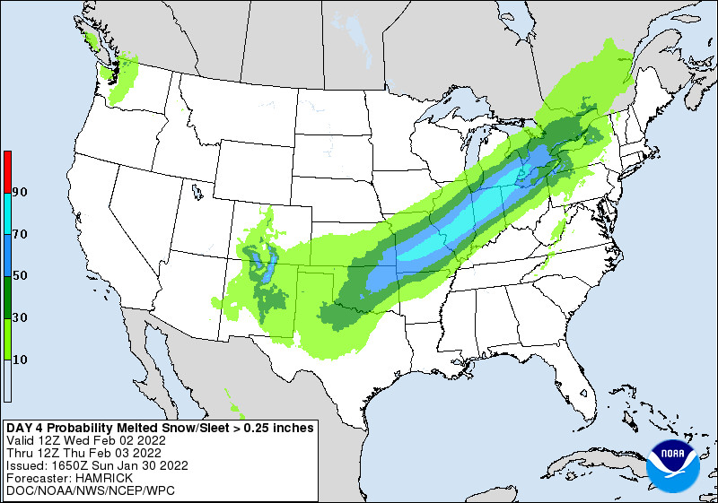
Post some maps
-
 Why is everyone so worried in this forum? Just curious. Storm is just starting to get its act together.
 -
I did see that. Joining the team of absurd amounts like euro was showing.
-
0z cmc was a good jump south. But it's about as trustworthy as long range nam. Going to be seeing a lot of wobbles north and south next few days
-
That's pretty impressive for a mean 5 days out
-
Yeah seems like models have really backed off a wound up final low and wave because of that slower ejection/positive tilt/elongated wave. I'm okay with a long duration overrunning event but still waiting for a nice wound up winter storm here. Seems to be difficult to get these days around these parts. What happened to those good GLC's?

