

Radtechwxman
-
Posts
2,481 -
Joined
-
Last visited
Content Type
Profiles
Blogs
Forums
American Weather
Media Demo
Store
Gallery
Everything posted by Radtechwxman
-
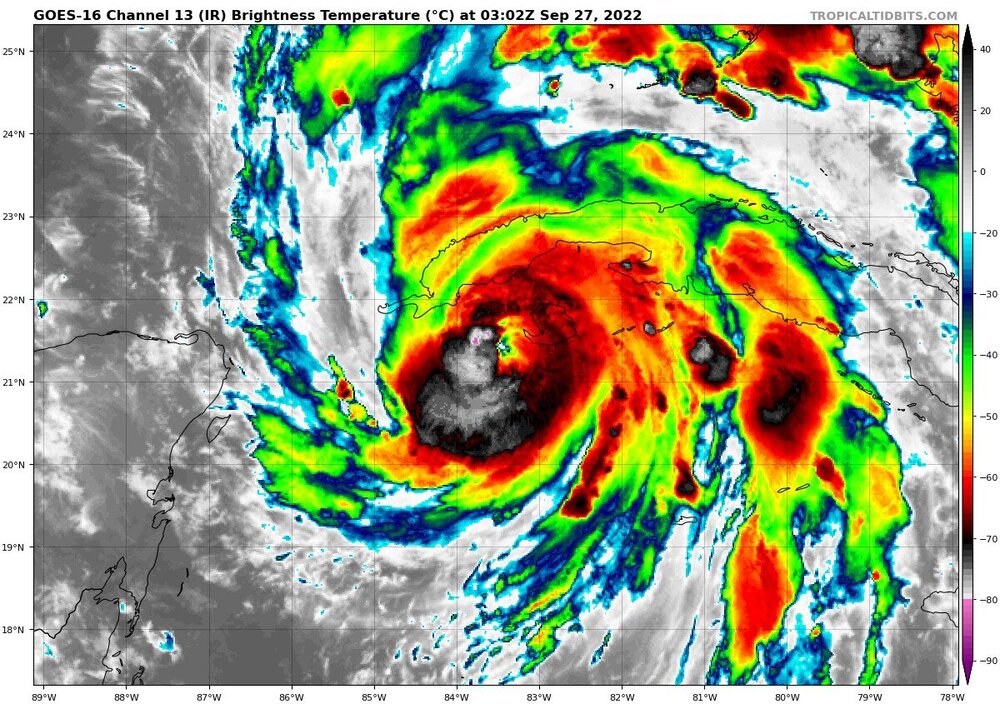
I'm skeptical on their 130mph landfall in FL. Not sure Ian will be able to achieve this with this EWRC that may take a while and if that opens up the core or makes it unstable it could subject it more the the shear that's beginning to impact it. Hard to say. SE part of inner eyewall really degrading now.
-
Really shocked Ian stayed at same winds and pressure. Maybe EWRC is happening and it's leveling off for now. We shall see. Curious if it will hit cat 4 now because of this. Doesn't have a huge window now of ripe conditions for strengthening.
-
It's possible. That seems exceptionally high. But I do think it should be 125-130 on next update maybe
-
Okay I may be wrong. Recon just got 117knt sfc wind in northern eyewall
-
I'm not so sure. A lot of the pressure drop has went into expanding wind field instead of strengthening wind field. But I do think we will see an increase in winds on next advisory. Maybe 125-130mph.
-
Looks like EWRC may be beginning or underway. This may limit amount of intensification Ian could have achieved depending on how long it takes. It still could hit cat 4.
-
Based on how Ian looks now structurally, I'm surprised NHC is only forecasting Ian to hit 130mph now. I think that's a bit conservative imo. I get it took a 10mph drop in winds and 13mb increase in pressure but that isn't bad considering hours over mountainous terrain.
-
I didn't expect Ian to look this good this morning. Impressive. Curious if the winds and pressure took a hit. Guessing if they did not by much because it still looks great on satellite with core intact.
-
Ian looks incredible right now on IR. Land interaction I definitely think helped tighten up core. Too bad Cuba probably going to undo all that beauty on satellite now. Curious how much it will degrade tonight over land and how quick it will recover tomorrow.
-
Eye see you. Pretty confident this is stronger than 105mph
-
I was expecting higher winds on 11pm advisory. Not sure it will be a major before hitting Cuba like NHC is forecasting. Cuba will likely halt the intensification and induce some weakening. Curious if we will truly see Ian it hits max potential strength in se Gulf before it encounters more hostile conditions nearing landfall.
-
Microwave data definitely shows that possibility
-
Eye definitely starting to pop on last frame of IR satellite
-
I feel like Cuba may disrupt Ian more than NHC is anticipating esp since it still seems to be trying to get fully organized. It's pretty close but that topography can really disrupt an inner core and Ian's has really been one that took a long time to come together. I could be wrong but just a hunch.
-
I thought shear wasn't supposed to impact Ian till it another 24-36hrs from now?
-
Dr. Greg Postel from TWC was talking about this. Was showing the radar and you could see a big void of precip wrapping into the core. He said this likely is inhibiting rapid intensification for now and only allowing gradual intensification. Dry air was never really supposed to be an issue till it got more north into the Gulf.
-
I think it's safe to say cores have aligned and are taking full advantage of high OHC and low shear environment right now. CDO exploding
-
As soon as I saw that big convective burst go by the center and persist I knew it was finally game on. Now with quickly dropping pressures and satellite presentation improving each frame, RI is for sure imminent if not already occurring.
-
Talking about actual NHC advisory that decreased winds and increased pressure from previous
-
Ian weakened instead of strengthening #2022
-
Those models also intensified Ian sooner and lead to that more west and north track. If this more disorganized system keeps up with later strengthening or RI down the road a track like Euro will be closer and the more south and east this tracks the less it will be impacted by that shear and dry air and probably a stronger landfall
-
Yea im very perplexed as to why convection isn't really taking off
-
Yeah it's abysmal. And they expect RI to start later today. I'm very skeptical given the state it's in. Idk why Ian is struggling so much to get organized given it's been out of the shear plenty of time now and is in the warmest waters of the Atlantic. Just weird. Probably really won't know how much it will weaken before landfall till Ian better develops and models can grasp onto it better. I don't forsee weakening as significant as HMON and HWRF are suggesting
-
Should be tropical storm train wreck instead of Ian because that's what it looks like. Lol. Tomorrow is the day NHC really expects Ian to take off but unless something majorly changes structurely I don't see it happening.
-
Like people were saying before, the longer this stays weaker and disorganized the more likely it will track further south and east which also could also a stronger landfall versus the alternative quicker strengthening system that gets more west and north and weakens rapidly before landfall due to dry air and shear from incoming jet/trough.


