LongBeachSurfFreak
-
Posts
9,298 -
Joined
-
Last visited
Content Type
Profiles
Blogs
Forums
American Weather
Media Demo
Store
Gallery
Everything posted by LongBeachSurfFreak
-

November 2019 General Discussions & Observations Thread
LongBeachSurfFreak replied to Rtd208's topic in New York City Metro
Exactly, I’ll pass on a -NAO in April. The one thing that’s concerning is the near repeat of the past 2 cold seasons thus far with record breaking November cold. Do we follow the same narrative? Also, does an early season -NAO without arctic air access cut it for the coast. -
https://www.stratton.com/the-mountain/webcams Getting some good snow at Stratton right now.
-
November 2019 General Discussions & Observations Thread
LongBeachSurfFreak replied to Rtd208's topic in New York City Metro
We end up with a Maritime polar airmass with that scenario. Not going to cut it for snow along the coast. Inland and way up is a different story -
“Moving at a reduced speed to stay behind the storm” Do they not know how the ocean works? This is inconceivable to me after the last few incidents. The bad press effects the industry greatly. I ha e spoken to numerous people that will not take cruises because of it
-
November 2019 General Discussions & Observations Thread
LongBeachSurfFreak replied to Rtd208's topic in New York City Metro
.50” at the wantagh meso. Last nights brief heavy rain in the city finally washed away the salt from last weeks mess. Looks like a period of fairly boring November weather on the way. -
November 2019 General Discussions & Observations Thread
LongBeachSurfFreak replied to Rtd208's topic in New York City Metro
What happened to the wind that was supposed to accompany this nor’easter? It’s still in the city right now -
Days one and two this past weekend at Killington. Natural snow was very limited with only a few inches. Being killington there was plenty of man made snow on the trails that were open. The problem was it was packed and by the afternoon the bottle necks were so pushed off that it became a dangerous Ice to moguls mine field. I saw multiple serious injury’s. There were way too many beginners out for those types of conditions and no easy terrain open. I took it easy after my double injury winter last year (broken collar bone followed by shattered wrist).
-
November 2019 General Discussions & Observations Thread
LongBeachSurfFreak replied to Rtd208's topic in New York City Metro
Blocking is going to be the big key this winter. With too much pac influence we would end up with another inland elevated situation. It’s really hard to get it to snow along the coast without a cold feed from Canada. With a -NAO we can tap cold air from eastern Canada despite pacific influence on the rest of the country. That’s why I’m all in that this isn’t a dud. Even if the winter overall is relatively warm. -
November 2019 General Discussions & Observations Thread
LongBeachSurfFreak replied to Rtd208's topic in New York City Metro
I’m talking an extended period, weeks not days. An 01/02 redux is extremely unlikely this winter -
November 2019 General Discussions & Observations Thread
LongBeachSurfFreak replied to Rtd208's topic in New York City Metro
If you look at the foot print of Manhattan developers started building around the park fairly early in the 1880s. Since then not much has changed, you have a large park surrounded by buildings. As far as the lows it’s been dry again, need a cloudy day to keep highs down and we haven’t seen that. -
November 2019 General Discussions & Observations Thread
LongBeachSurfFreak replied to Rtd208's topic in New York City Metro
Joke? In all seriousness based on what? It’s a pretty safe bet at this point to go with an above normal winter but there should be another cold period sometime in January-March even 2011/12 had at least one cold period. -
November 2019 General Discussions & Observations Thread
LongBeachSurfFreak replied to Rtd208's topic in New York City Metro
That seems super suspect. No cold anomalies anywhere. If the arctic is warm that means it’s discharging cold somewhere. It’s also good to see that warmest anomaly in the EPO region. -
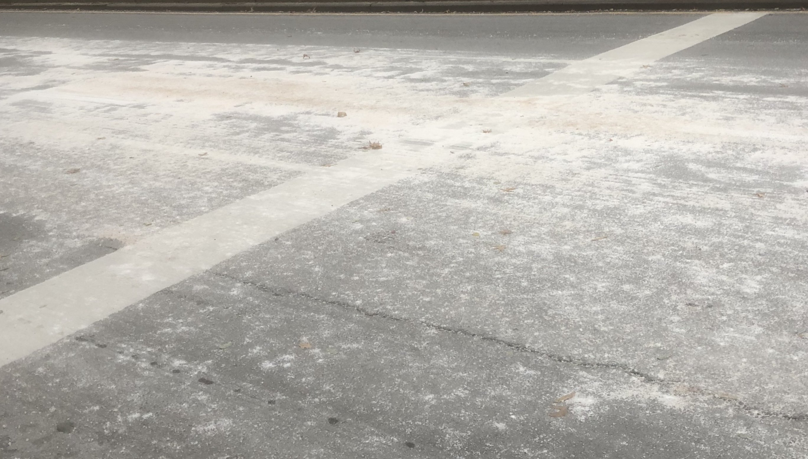
I need to start a bitch about NYC overuse of salt thread. I think we will have more salt accumulation then snow
-
November 2019 General Discussions & Observations Thread
LongBeachSurfFreak replied to Rtd208's topic in New York City Metro
Our saving grace for keeping that monster thermo gradient ever present is the Gulf Stream. It’s constantly brings in a fresh supply of ultra warm water from the western Caribbean which is out of reach of these record arctic intrusions. If we see the predominant low track switch to the coast this winter it’s game on. Based on pro forecasts I would take a blend of last years cutter/inland runner tracks and offshore tracks. Kind of a feast and famine winter with one or potentially two cold and snow periods during the heart of the winter. When exactly the stars align is impossible to predict -
November 2019 General Discussions & Observations Thread
LongBeachSurfFreak replied to Rtd208's topic in New York City Metro
Not a good situation for the OBX. They are in bad shape from this past hurricane season. I would expect some wash overs and damage with the that kind of fetch. Looks like the swell is directed away from us though -
November 2019 General Discussions & Observations Thread
LongBeachSurfFreak replied to Rtd208's topic in New York City Metro
Nice, that’s a big ginkgo. All the leaves on trees around the city will wither crinkle on the trees or drop rapidly now. Amazingly we have seen this multiple times the last few years with these insane temp swings. Luckily it doesn’t seem to kill the trees. 22 in wantagh, very uniform temps across the region. It will be interesting to see what happens tonight with better radiational cooling. I bet if KFOK goes calm they go into the single digits -
November 2019 General Discussions & Observations Thread
LongBeachSurfFreak replied to Rtd208's topic in New York City Metro
Getting some solid gusts with the CAA right now. Driven largely by the temp gradient with the still warm ocean more so then a traditional low pressure. -
November 2019 General Discussions & Observations Thread
LongBeachSurfFreak replied to Rtd208's topic in New York City Metro
That’s good. There was a biblical amount of salt on the uws. I would have to say as much as I have ever seen, with the other contenders all being last winter. The other thing I forgot to mention, is that trees haven’t gone into hibernation yet (in the city) so that makes it even worse. Add the fact that we do not have any heavy rain coming and it’s going to get all over everything and sit. Plus these super early arctic outbreaks after warm October’s are adding even more stress. This crap genuinely bothers me because I know it’s preventable -
November 2019 General Discussions & Observations Thread
LongBeachSurfFreak replied to Rtd208's topic in New York City Metro
That’s exactly it. As a horticulturalist My thoughts go right to the trees. There are some incredible trees on the uws. They are already under pressure on a million different fronts. I can’t imagine this neighborhood (Morning Side Heights) without it’s trees. The ridiculous over use of salt is basically a death sentence if it’s not brought under control. And it’s also bad for public health. I could taste salt in my mouth walking up broadway as busses and trucks throw the stuff in the air. As an aside I’m also in charge of snow removal for the campus I work on. Guess how much salt I put down today? 0 -
November 2019 General Discussions & Observations Thread
LongBeachSurfFreak replied to Rtd208's topic in New York City Metro
This is a huge problem. I hope the media is on this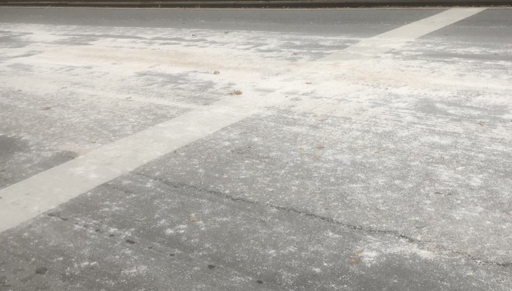
-
November 2019 General Discussions & Observations Thread
LongBeachSurfFreak replied to Rtd208's topic in New York City Metro
Still just a cold rain on the island. Looks like we aren’t going to get a squall type burst with the arctic front but some lingering moisture snows. Obviously the warm ground and weak rates aren’t going to cut it for accumulations. -
November 2019 General Discussions & Observations Thread
LongBeachSurfFreak replied to Rtd208's topic in New York City Metro
Yeah but that was a mid winter situation. The most epic snow squall I have ever seen in NYC. Vis down to close to zero and the snow instantly accumulated. That’s not happening this time. What I’m saying is we should see snow in the air with passage of the arctic front regardless of surface temps, it will be plenty cold aloft. The fact that we have real time verification down stream just adds to confidence -
November 2019 General Discussions & Observations Thread
LongBeachSurfFreak replied to Rtd208's topic in New York City Metro
There will be a thin line with the actual arctic front that has an enhanced area of precip. That area will have rates intense enough to get snow down to the surface even at the coast. Of course like the event I mentioned there isn’t a shot in hell of it accumulating at the coast as it will be falling with temps around 40 and warm ground. -
Interesting, I had 6” in Wantagh. I wonder if it was your proximity to the sound.
-
November 2019 General Discussions & Observations Thread
LongBeachSurfFreak replied to Rtd208's topic in New York City Metro
There was a very similar event back in the late 90s. Mid November powerful cold front that brought a brief but heavy burst of snow. Despite the crashing temps and heavy snow, it did not stick at all do to warm ground temps. Thats exactly what I would go for with this event.