Rjay
-
Posts
28,400 -
Joined
-
Last visited
Content Type
Profiles
Blogs
Forums
American Weather
Media Demo
Store
Gallery
Everything posted by Rjay
-
Oh and BxEngine sucks.
-
And thank you both for being part of the forum. You're valued members and we're always here if you need us.
-
Merry Christmas. Thanks for all your contributions here.
-
We all love you man. Merry Christmas.
-
Prediction of the first snowfall for the NYC area.
Rjay replied to MJO812's topic in New York City Metro
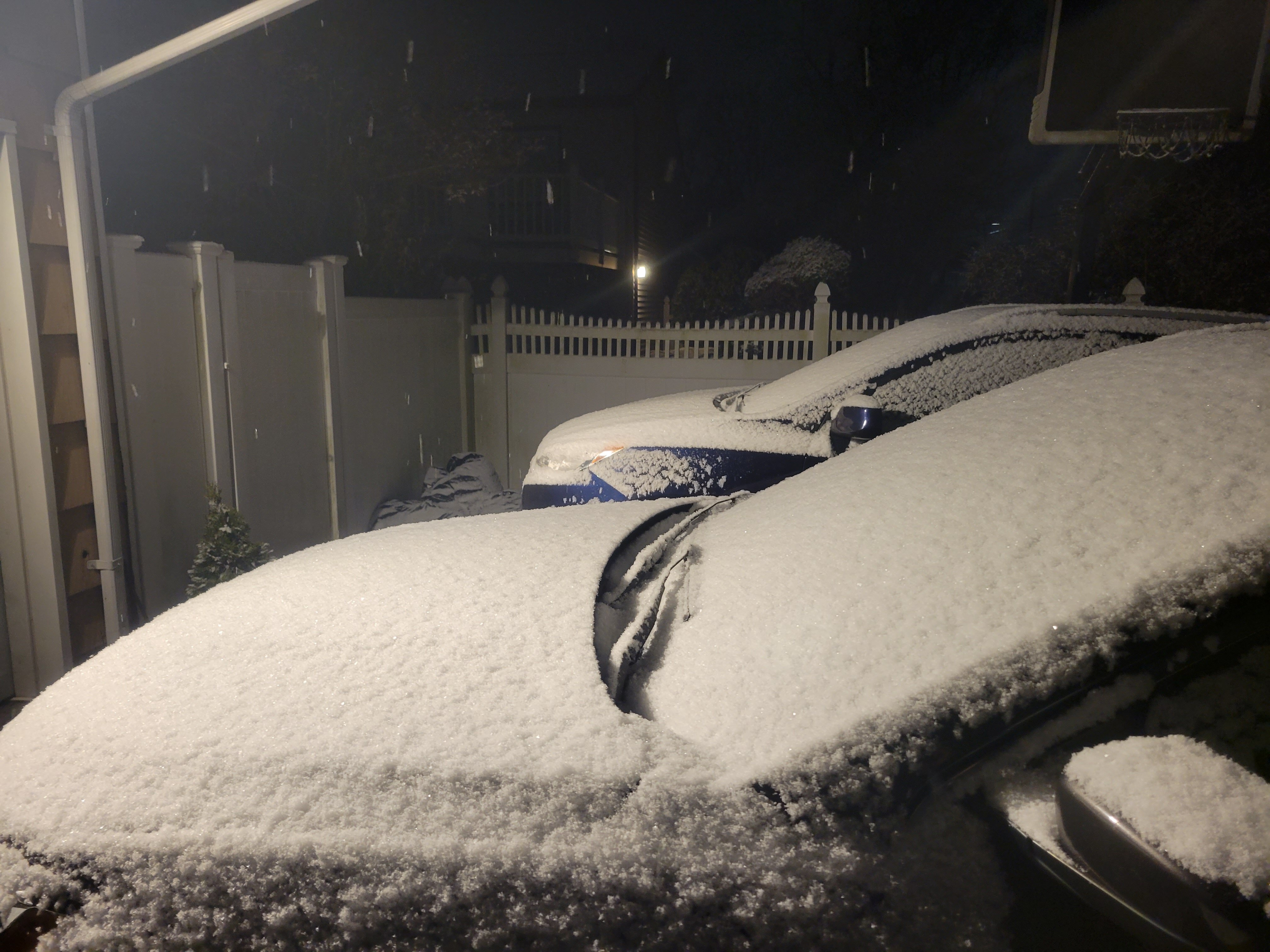
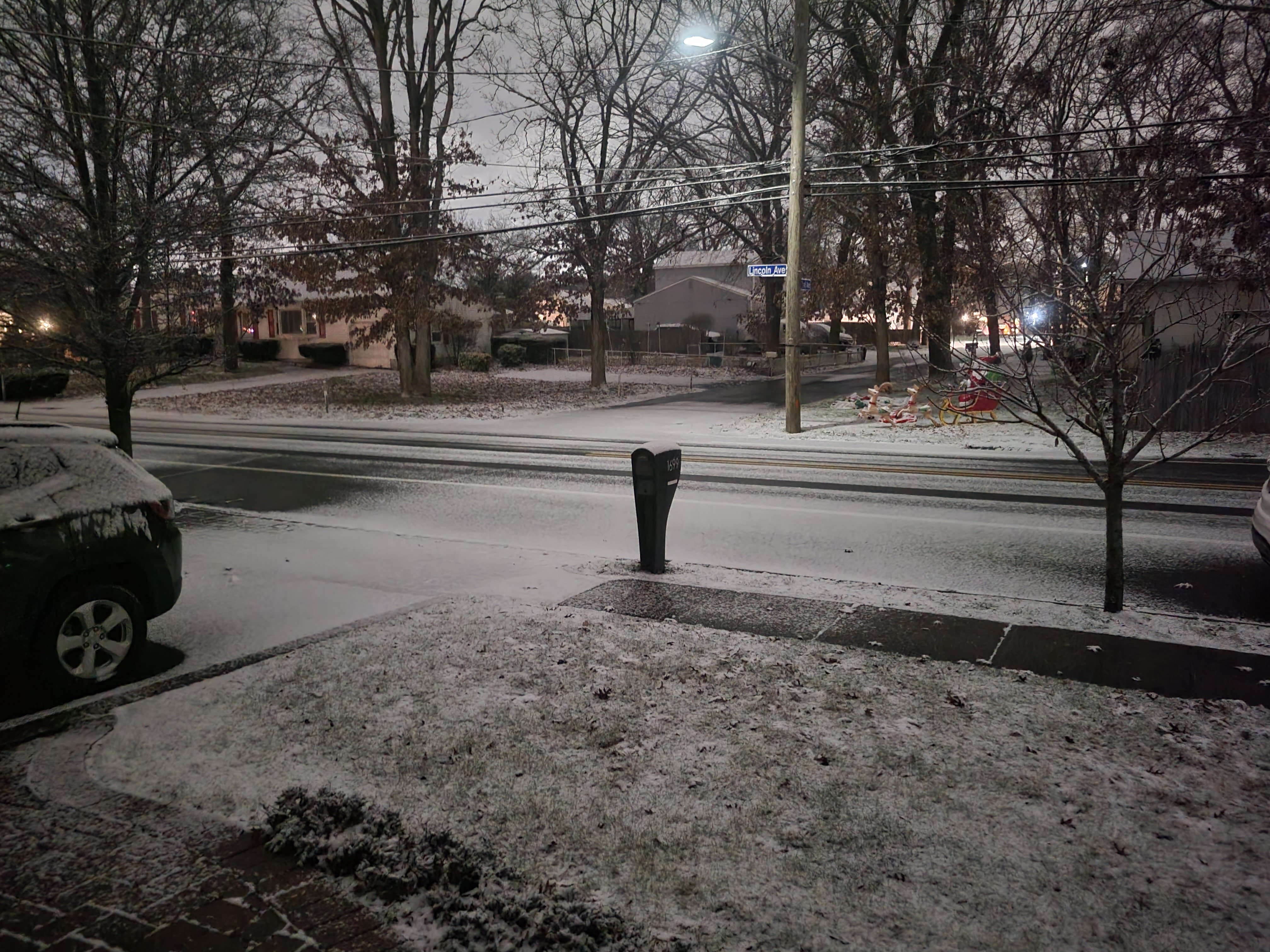
A few tenths of an inch shouldn't count -
Most of the area still has under and inch of snow for December...
-
Don't worry. You should have seen his (Mr Omega's) forecasts for Boxing Day, Sandy and Jan 2016.
-
Agreed this wasn't handled well. But no politics. Come on guys.
-
Needs more anger
-
My bother had 103.4 with his second moderna shot. I had him take some tylenol and it dropped to around 100. He felt like crap for about 24-36 hours. He had no reaction to the booster though.
-
They need to add an appropriate reaction I can use for this post. It's not funny. It's not sad. It's infuriating.
-
We're allowing a bit covid discussion in here for now considering how crazy things have gotten. Please keep politics out of it. Thanks.
-
I know a few people who did mix. No one with a reaction like that but it's not uncommon for either brand. Take some tylenol. It should bring down your fever and help with the aches some.
-
It's been a rough 2 years man.
-
But several people I know wanted to get tested bc they're sick and couldn't.
-
Well I had 1 coworker call to see if she could come in for something else and they said no. They're overwhelmed.
-
Insanity. And everyone here knows at least 1 person turned away from an urgent care in the last couple of days. I know of a lot of people turned away.
-
38,835 new cases in NY today. 15,482 new cases in NJ today. Ffs. Merry Christmas.
-
Been sick all week. My entire facility is sick. My wife's entire building is sick. Hope you feel better soon.
-
It's impossible. And the rapid tests suck.
-
Prediction of the first snowfall for the NYC area.
Rjay replied to MJO812's topic in New York City Metro
Jan 3rd 2023 -
Metafan would call for a cold and snowy June