-
Posts
28,369 -
Joined
-
Last visited
Content Type
Profiles
Blogs
Forums
American Weather
Media Demo
Store
Gallery
Everything posted by Rjay
-
Their obs look incomplete on the 2 sites I use. Maybe someone else can find it.
-
Nope. I was 10/11 lol.
-
MIV
-
Same here. Dipped just below 20 this morning but it goes in the books as 20.
-
23 degrees with a north wind gusting over 30 mph.
-
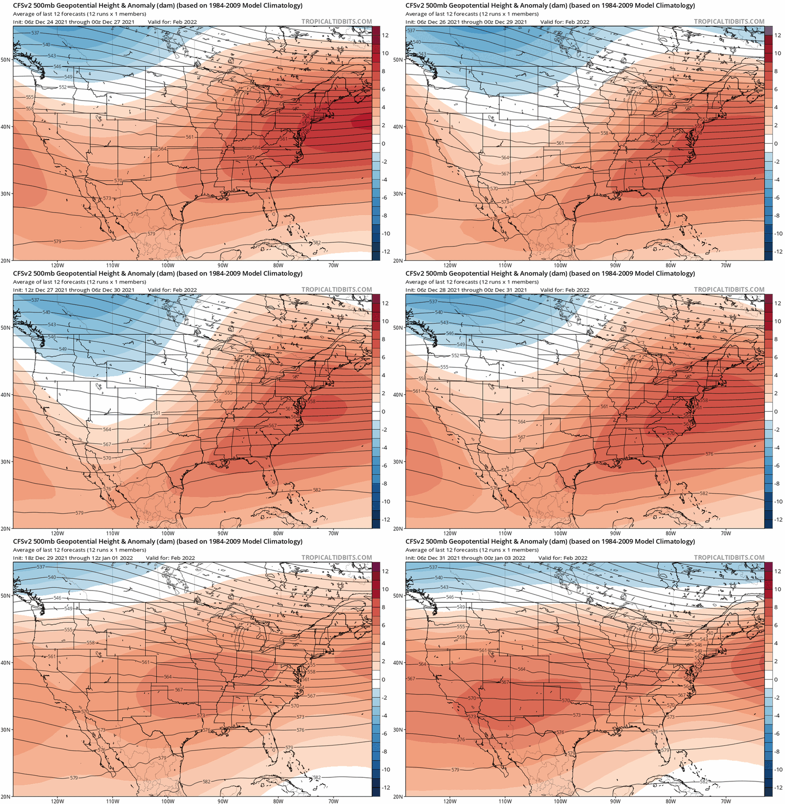
Feb tends to be bad in ninas but I'm not a huge fan of long range forecasting.
-
-
Guess who's still at #1
-
It doesn't look like there's subscriptions anymore but I don't have all the answers. Those are the guys you want to speak to. Make sure all your questions are answered.
-
So I recommend to message Stormtracker, Wow and Dendrite in a group PM.
-
@donsutherland1. I tried messaging you about the issue but it says you can't receive PMs. I'm guessing your inbox is full.
-
Thanks again for tracking with us Walt.
-
You're right. There's definitely nothing wrong with being prepared. And you're right again. I'm saying 2" max .
-
I really don't think models show virga. I could be wrong but I remember reading that once. I do expect a virga fest up here though.
-
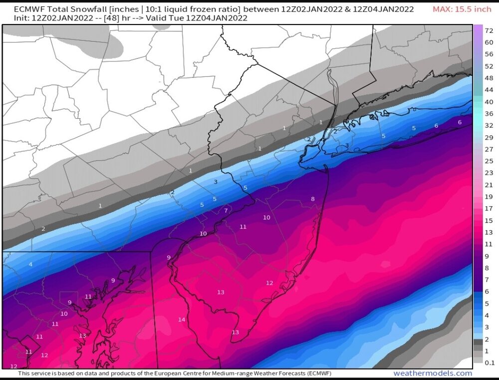
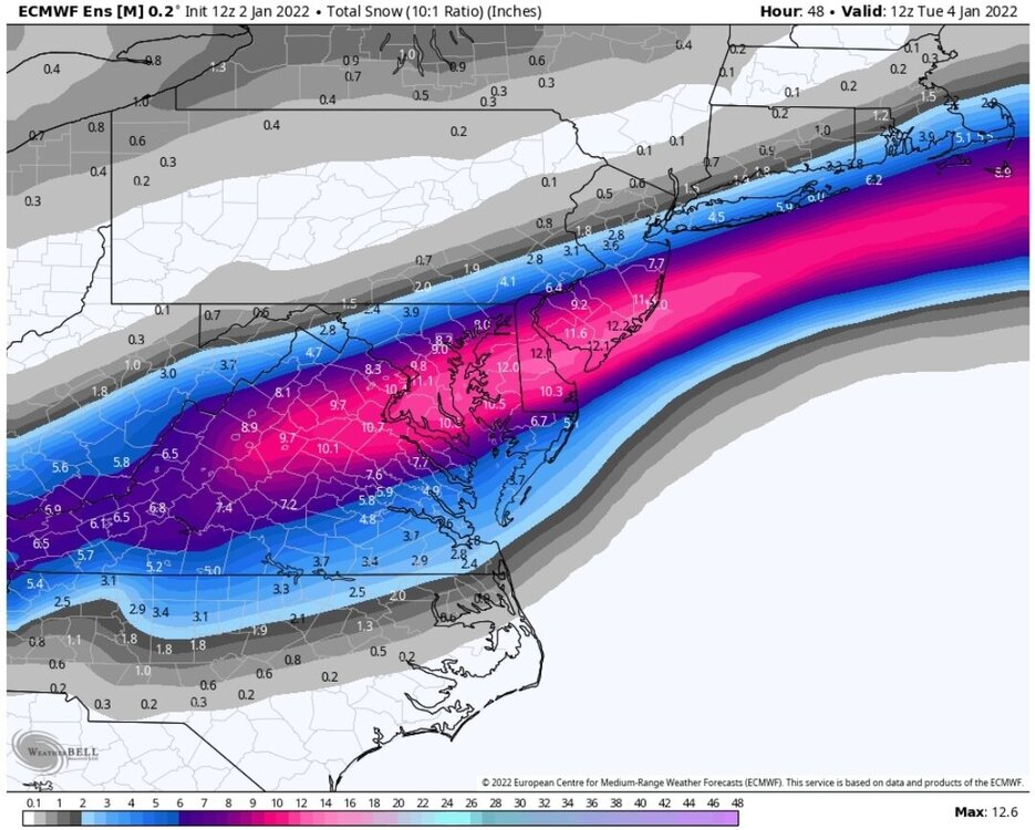
@wdrag. You're right about the gradient. It's almost always too high on the northern fringe.


.thumb.png.3fed067463b535313df7dae45bbc6c79.png)
.thumb.png.7f6c6e9f9d79cd01179e97efaa2c9605.png)
.thumb.png.44bdfcd900c1edda4bb245dc41512c5b.png)
.thumb.png.c977591099769b83a933b8c8b6b3bd9e.png)