WxUSAF
-
Posts
28,636 -
Joined
-
Last visited
Content Type
Profiles
Blogs
Forums
American Weather
Media Demo
Store
Gallery
Everything posted by WxUSAF
-
I never think it’s that simple to just subtract 2F. It was a dog shit antecedent airmass. It happens. It was dog shit for the beaches too and they just won, that’s a Nina for you.
-
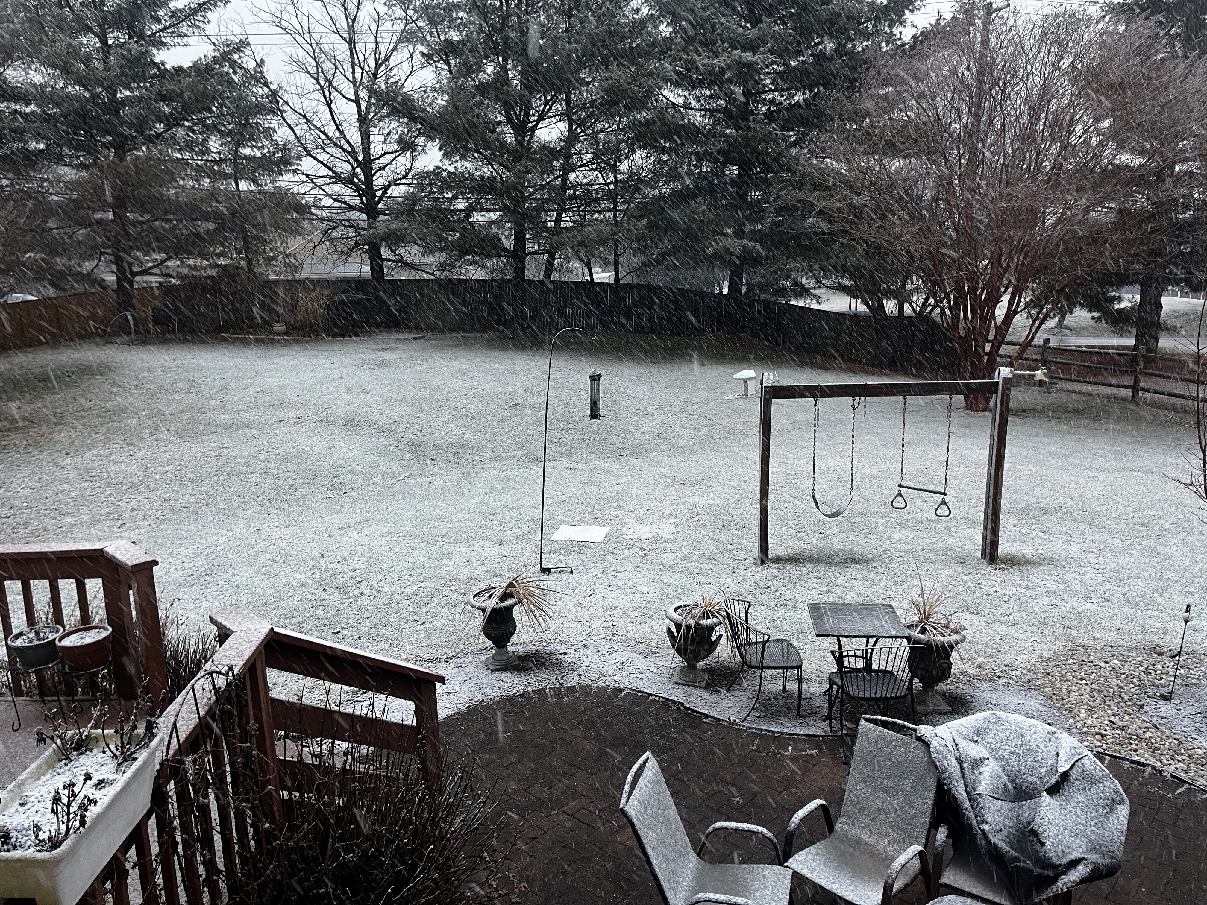
0.7”. 0.3” last hour. Goes without saying but even a seasonal airmass leading into this would have made a big difference
-
Sidewalks and neighborhood paved surfaces all slushy and getting snowy. Wind picking up. Probably accumulated 0.2-0.3” in my 40 min @Jebman Jebwalk
-
0.4” on the board
-
At freezing or very close now in Columbia. Ratios should jump up nicely with these rates and flakes.
-
-
Grass getting slushy. Absolutely dumping right now…
-
All snow giant flakes. My PWS (which doesn’t do great when it’s wet) has lost like 5F in the last 90 mins. But neighbors’ suggest about 34 now.
-
It’s starting. Meteors falling
-
It’s trying. Temps are definitely dropping. Come on snow, be the storm we know you can be!
-
Temps seems to be ticking down. Maybe a few flakes mixing back in.
-
My kids are getting antsier than me waiting for snow
-
Yeah it’s got to be something like that. Drizzle still with pretty respectable reflectivity
-
Radar would seem to suggest more then drizzle and yet…
-
To get accumulation, I think the first step is to increase rates above drizzle lol
-
Temp has gone back up a bit. Light rain/snow.
-
Incredible! Hellebuyck MVP
-
Damn Hellebuyck single handedly keeping the US alive
-
Most nearby PWSs down to 35 now in east Columbia. Still mostly rain. Maybe 50/50 snow and rain in heavier bursts.
-
First mangled flakes in Columbia
-
-
Temp has dropped a bit with the heavier rain but no snow flakes in sight despite my intense squints out the window
-
Question is does it just sort of flip from N/W to S/E and then stay all snow (even if non-accumulating for awhile), or does it pulse back and forth and be rate dependent during the middle of the day before a flip to snow for good mid-late afternoon?
-
Ah right, I got it backwards with the elevation scans.
-
Euro has been low for DE coastline relative to all the other guidance for awhile?