Tatamy
-
Posts
2,583 -
Joined
-
Last visited
Content Type
Profiles
Blogs
Forums
American Weather
Media Demo
Store
Gallery
Everything posted by Tatamy
-
Walt - please start the thread. This storm could be quite impactful.
-
It’s an outlier solution.
-
0z GFS is all in with the potential for significant snows across NW NJ and NE PA.
-
This one was always going to be about elevation. It’s been great to have something this interesting to track on the models.
-
If you want something to peruse check out today’s 12z ensemble runs (entire run) - particularly for north and west areas. I am not talking about today’s CFS runs as they are at a whole different level.
-
We need Arctic stream involvement. These Polar jet driven systems won’t get it done.
-
You’re going to need elevation for this one.
-
27 with a hard freeze.
-
Event total here of 0.26”
-
It’s actually raining here and I am measuring. 0.05” on the day.
-
Still have not measured. Yawn
-
If you look at the genesis of this system it actually forms in the Caribbean. It has likely had tropical features initially and probably picks up a name along the way. GFS really got creative with this one. FWIW the CFS has popped a few runs with snows in the east however accumulating snow only happens well inland.
-
So the Euro starts running out to 360 hours on Tuesday twice a day. I guess that means twice as many fantasy storms. This should be fun.
-
Absolutely. Dewpoint here is 23. Whatever annuals that are left are toast tonight unless you are in a paved urban area or right next to a body of water. Only spoiler in your area would be if a very light breeze from off the sound continues through the overnight and keeps temps up a bit however that seems unlikely.
-
CFS is buying into a more favorable pattern for the East for mid November.
-
32 with widespread frost.
-
Great commentary from Levi including the potential for a sting jet at the time of landfall as shown on HWRF.
-
Due to the large size of the storm it is expected that squalls with winds to tropical storm force will move up the east coast of Florida. This is the reason for the warning in my view.
-
There was also a Hurricane Helene in 1958 that affected the Carolina coast.
-
Raining here as well. 0.25” so far. Temp has crashed down to 60.
-
Yes indeed. I have over a half inch and was progged not to get much of anything. It was supposed to stay to my north.
- 1,764 replies
-
- 1
-

-
- hurricanes
- tropics
- (and 5 more)
-
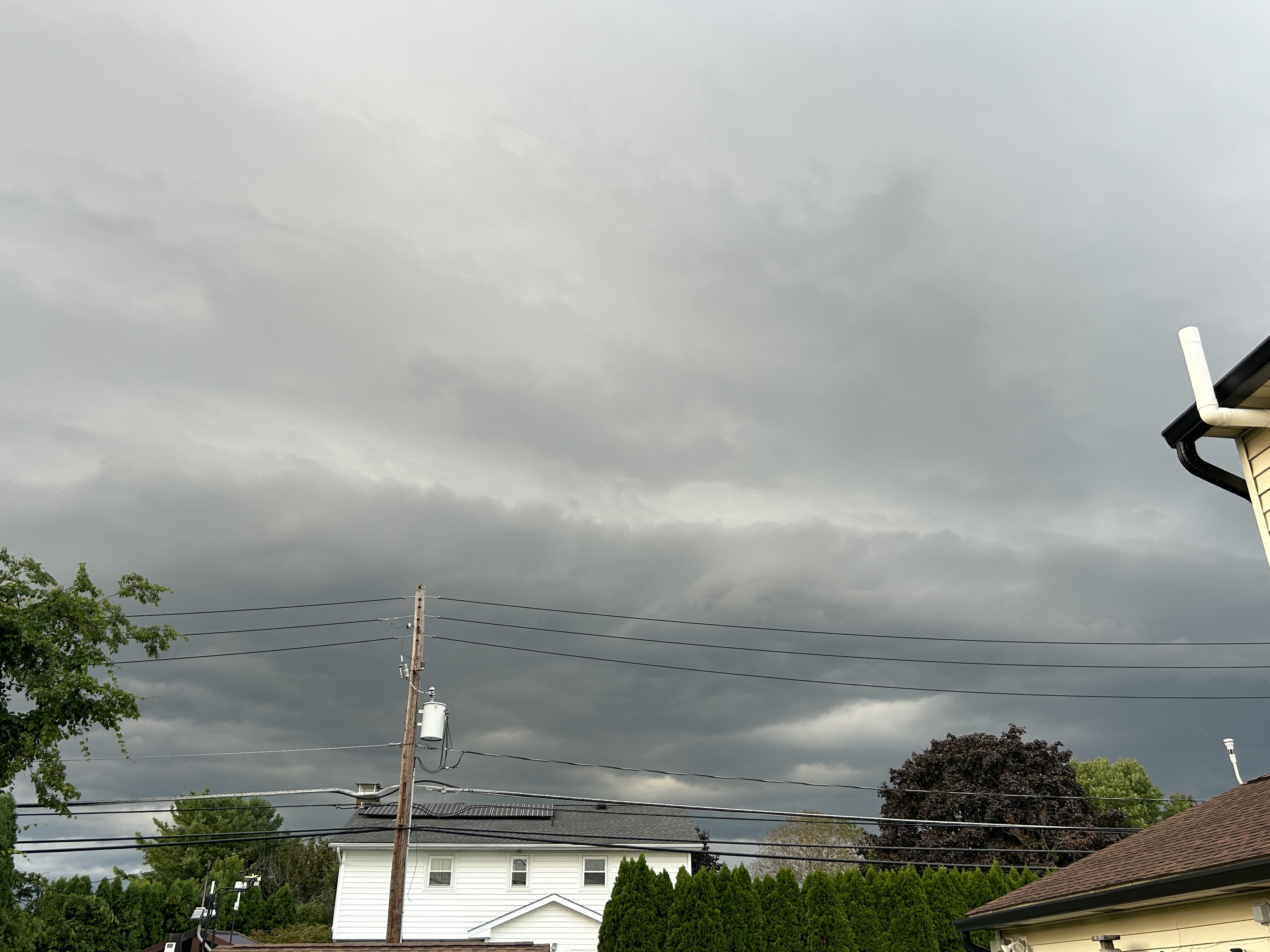
Shelf cloud coming in now.

-
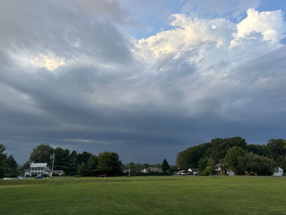
Tonight’s activity coming in. Minimal lightning associated with it.
-
This one near Stony Brook still looks nasty.