Tatamy
-
Posts
2,583 -
Joined
-
Last visited
Content Type
Profiles
Blogs
Forums
American Weather
Media Demo
Store
Gallery
Everything posted by Tatamy
-
No hail but a heavy burst of rain as the line went by. 0.32”
-
No severe thunderstorm warning here however radar appears to show hail with the one approaching me now.
-
That’s orographic lift for you.
-
Looks like a nice hailer at the water gap.
-
Storm we had here was on the blah side. It was accompanied by a few bolts of CTG lightning however only 0.18” of rain so far. We are down to 74 degrees so that feels nice.
-
1.38” total from last night’s storms.
-
Been pouring here for the past half hour. 1.15” and still coming down.
-
No rain however the outflow dropped our temperature by 8 degrees.
-
This is the storm headed towards Bethlehem.
-
Waiting on this quick hitter rolling in from the west. If this breaks right I’ll pick up about 0.25”.
-
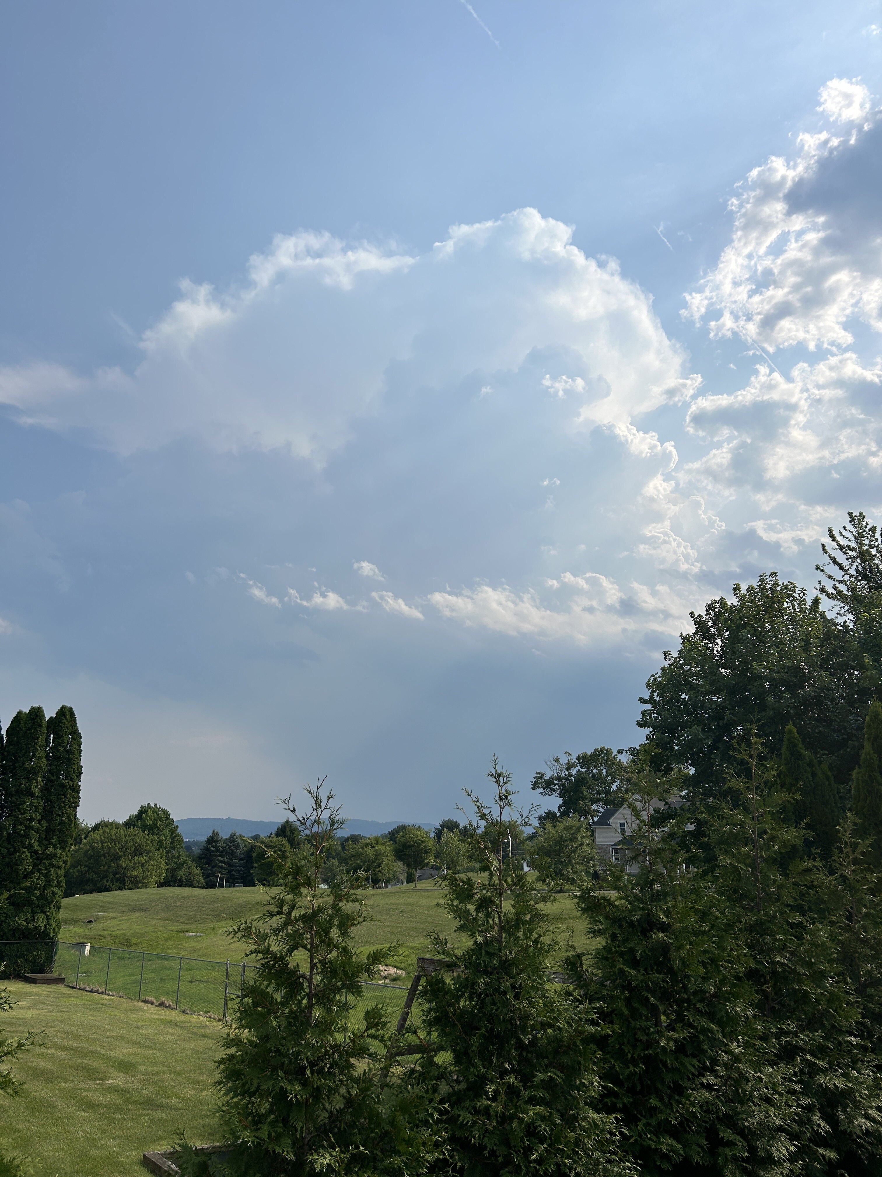
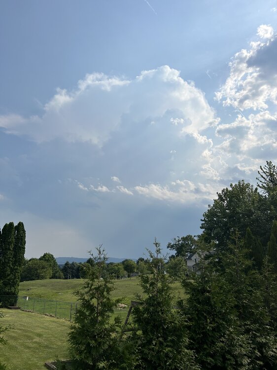
There is now a line of towering CU through central PA as seen on visible satellite. This looks to be the beginning of the storms expected for later.
-
Big bust on the HRRR for storms modeled for last night in eastern PA and northern NJ.
-
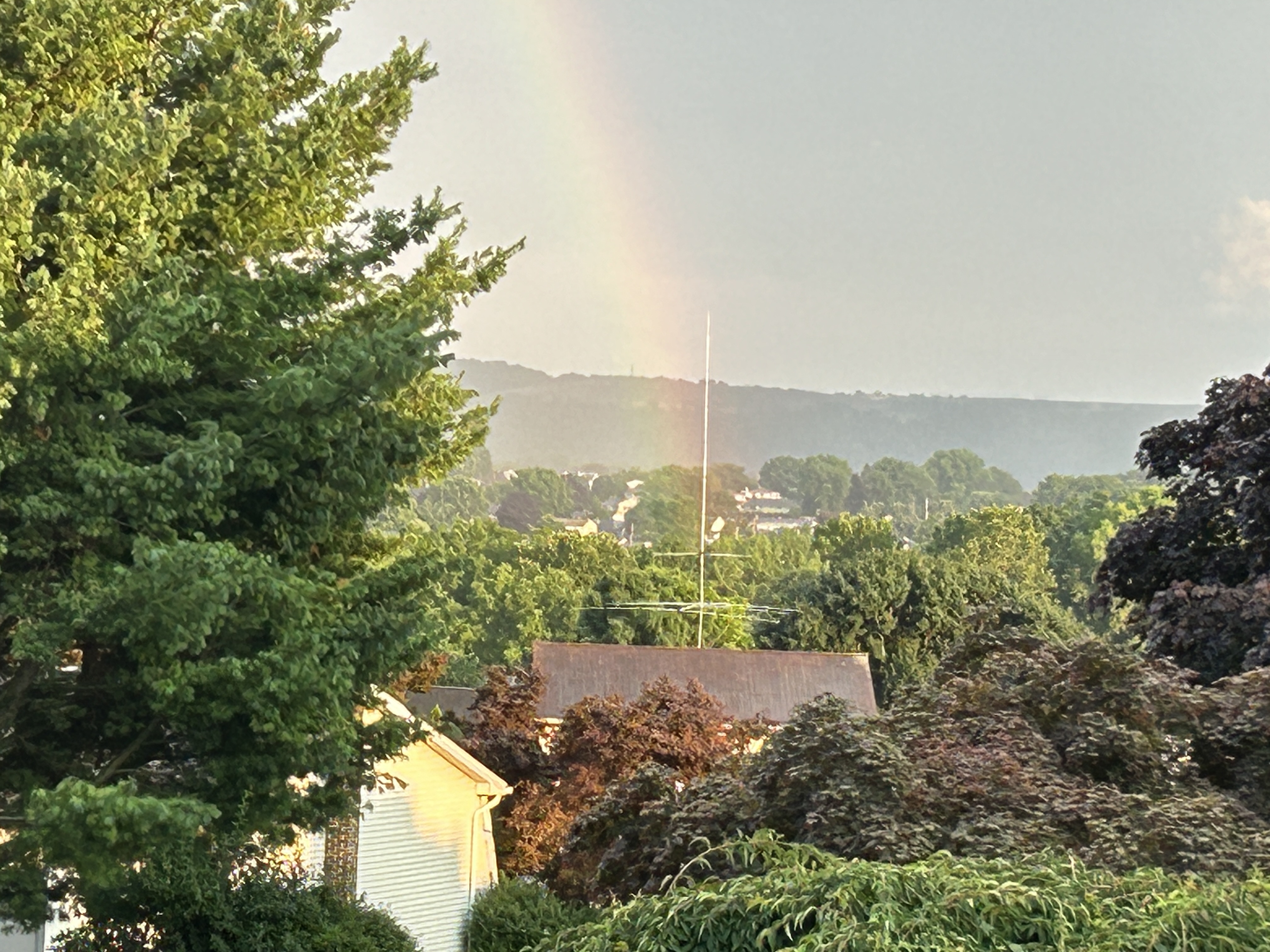
Some showers have popped up in my area this evening. Even have a rainbow…

-
2.00” on the nose as measured here in East Northport on a local Davis station in the past 24 hours.
-
Even though this morning’s rain is primarily along the coast I did manage to collect 0.93 at my home location in PA a little earlier.
-
Cloudburst out here in East Northport.
-
I’m in East Northport today. Heavy rain and thunder rolling in currently.
-
0.78” with this line as it starts to move away.
-
This is a big time lightning producer currently. My Tempest has detected over 560 strokes in the past 40 minutes. We’ll see how long it continues in this pulse up mode.
-
I am at 0.74” for the month. Maybe I make it over an inch with this for the month. Models kill it not long after it passes the Delaware.
-
This looks like a 10 minute downpour with a few flashes of lightning.
-
Ambrose Jet?
-
These storms were the product of orographic lift over the hills of eastern PA and the remnants of a weak frontal boundary. Once they moved closer to the coast they dissipated. The lack of any significant seabreeze frontal boundaries probably hastened the process.
-
Picked up a quick .27” with the downpour moving through my area. Temp has dropped 14 degrees.
-
We got rained out for our fireworks. Received 0.42”