Tatamy
-
Posts
2,583 -
Joined
-
Last visited
Content Type
Profiles
Blogs
Forums
American Weather
Media Demo
Store
Gallery
Everything posted by Tatamy
-
 Are there any data reports from Lauriston Carriacou Airport? This facility is located on the north side of Carriacou Island and would have been in a good position to measure that gust.
 -
Maurice Bishop Airport is located on the far SW side of Grenada (Google Earth) FWIW it does have direct somewhat elevated exposure to the W and NW which would put it in a good position to measure higher winds. In any case it would still be too far away to measure a gust of 121 mph.
-
And well south at that. I don’t even want to think what the winds on Carriacou and Union Island in the northern eyewall reached.
-
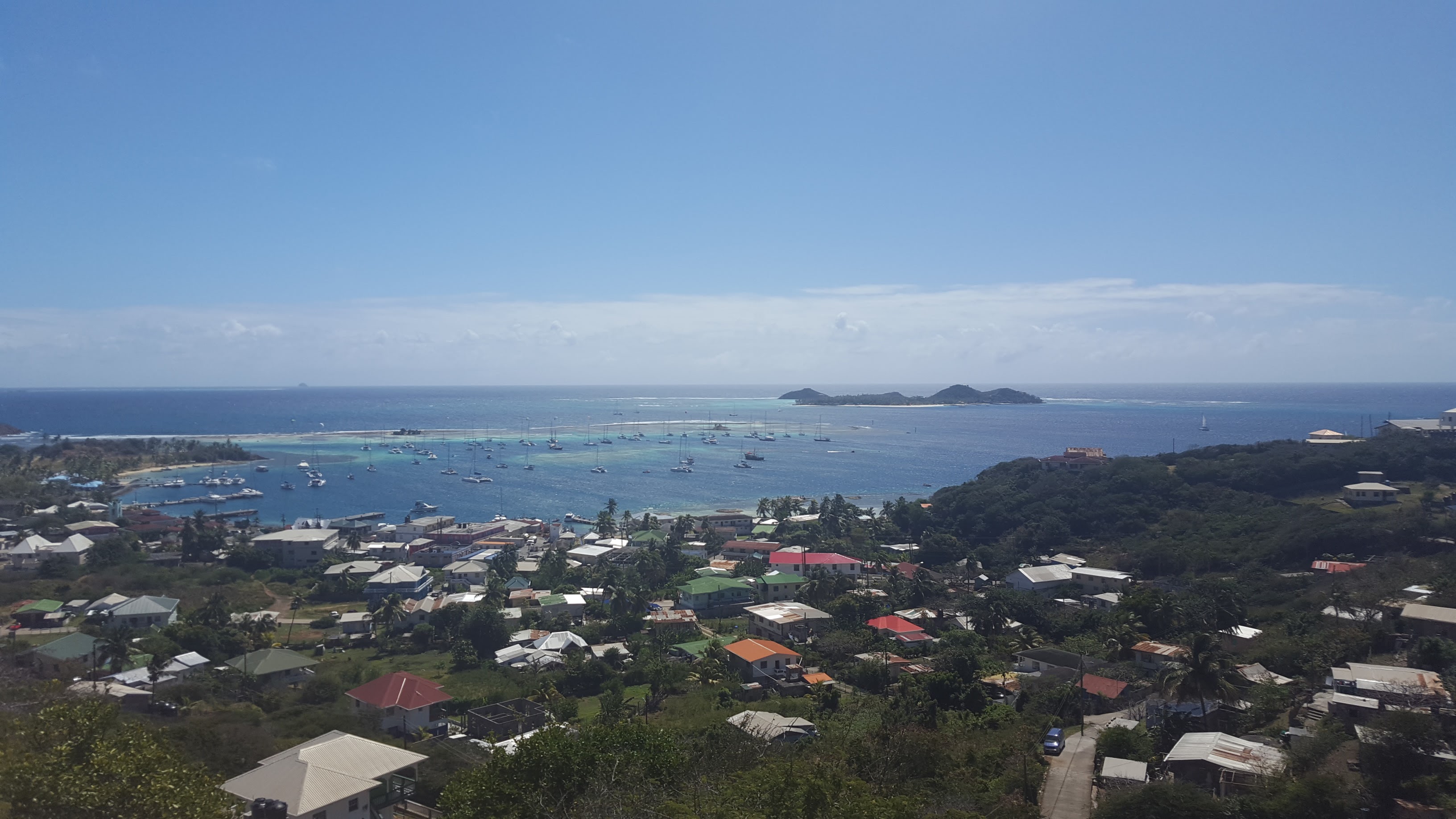
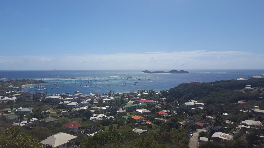
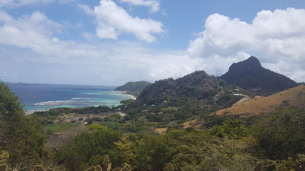
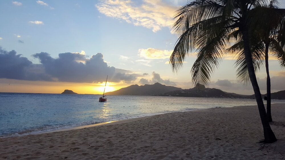
Some pics of Union Island and Palm Island down there from a family vacation a few years ago. Soon to be paradise lost.

-
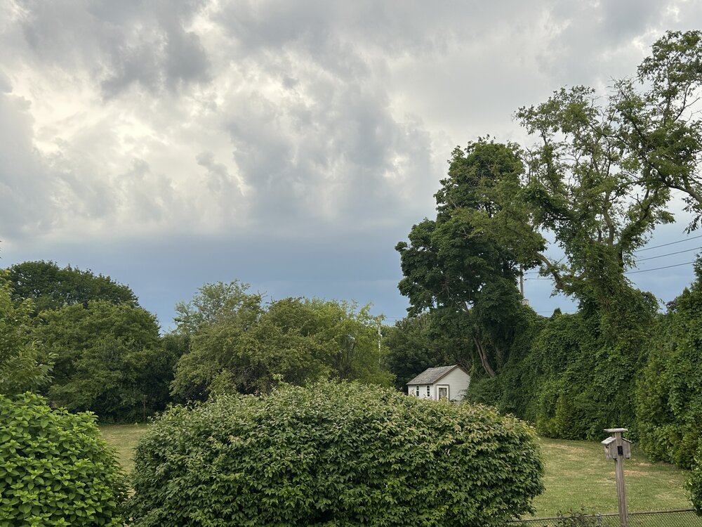
Here’s my view of them from my location


-
I checked the wrong data. My station on Fire Island picked up .08 this afternoon and has a total of .18 on the day.
-
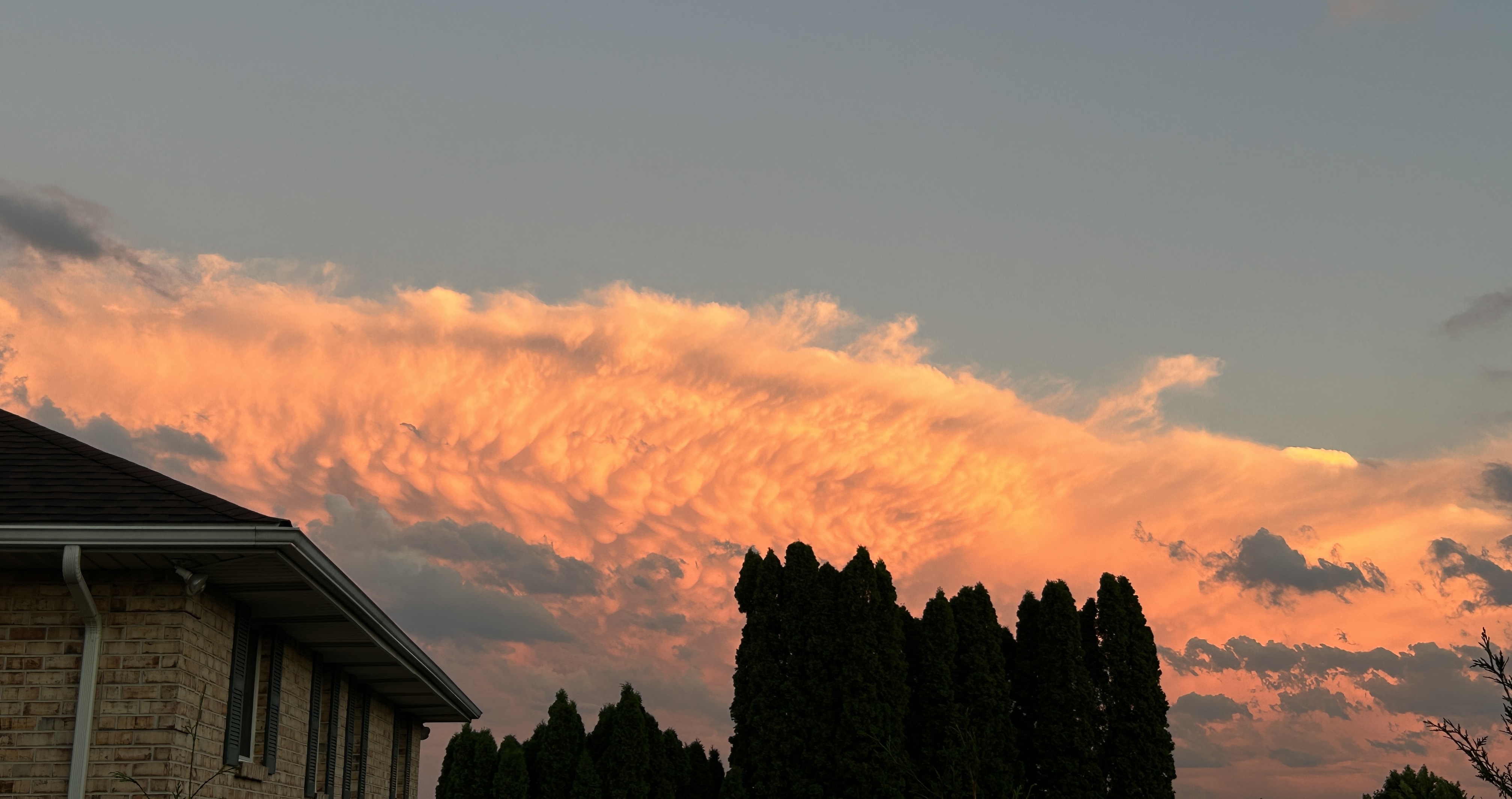
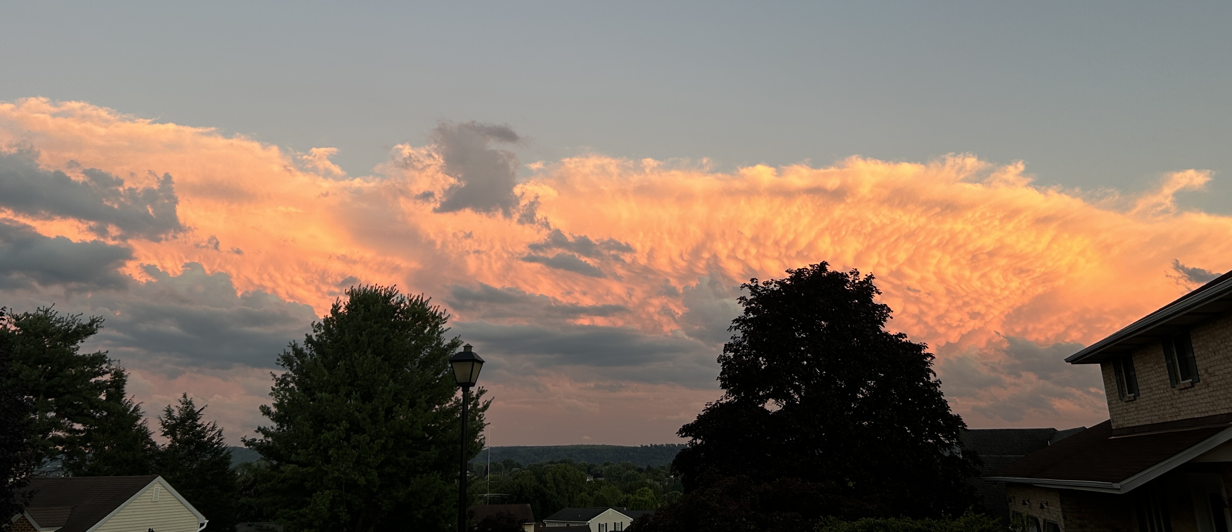
The SW end of that Bow echo over Warren Cty just passed me by to north and east. It’s definitely filling in back to SW. It was a sight to see with the boiling clouds flying by directly overhead with the developing outflow boundary.
-
This feature is dropping down and filling in as I type this. These cells are moving quickly so it looks no one area will be feeling impacts for any significant period of time.
-
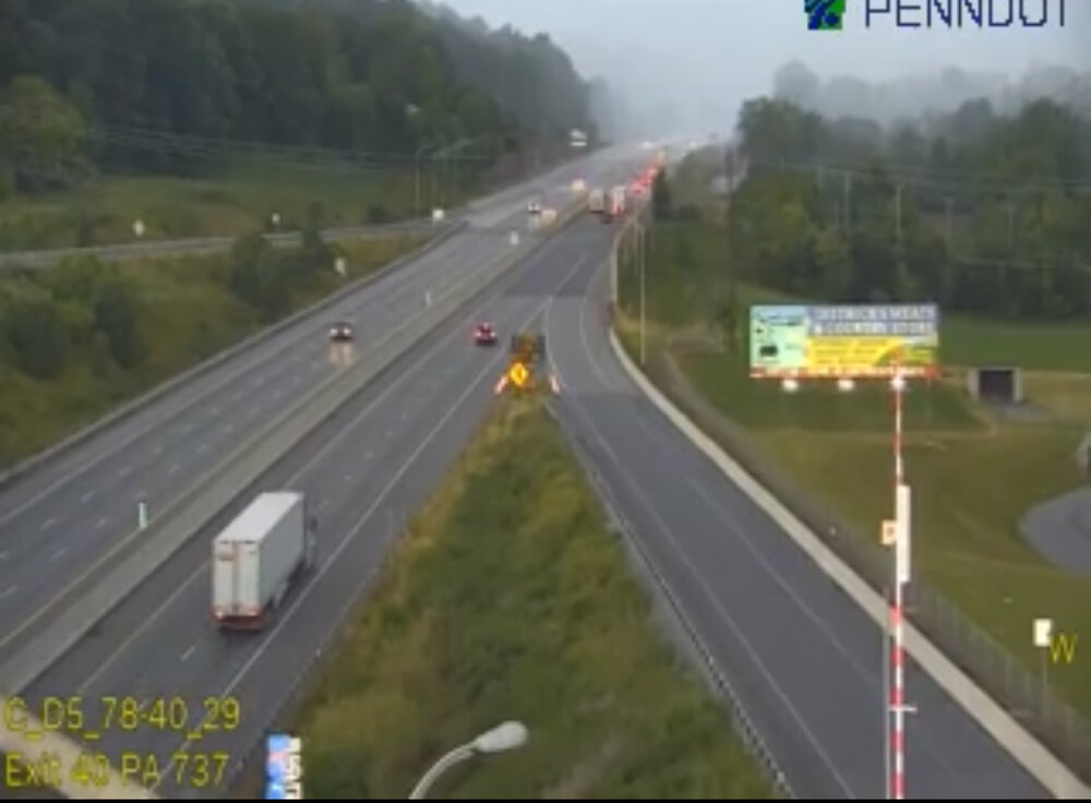
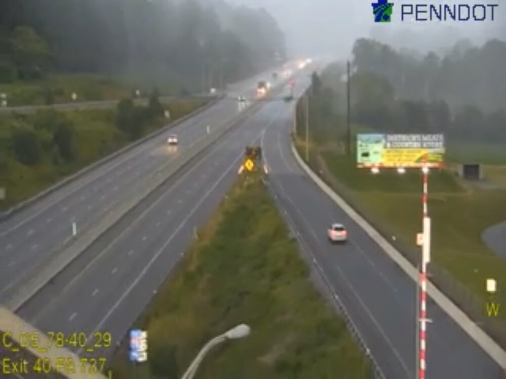
This is what the leading edge of that bow echo looks like as of a few minutes ago at exit 40 on I78. The traffic cam was shaking like crazy. It’s like a wall of rain.
-
This feature is coming straight at me. We’ll see if it outdoes the one from a couple of days ago.
-
Strong / Severe Thunderstorms on the move in central PA. Looks to be approaching the Delaware River around 7 PM.
-
Local media reports 40,000 power outages in my area as a result of the storm. I am hearing that the storms in SW PA are active tornado producers.
-
It was a beast out here.
-
Was not much of a rain event. 0.32” This is that transformer blow that we saw as the storm was arriving. IMG_4719.mov
-
Where are you near?
-
Feature still looks good across western NJ along and north of I78.
-
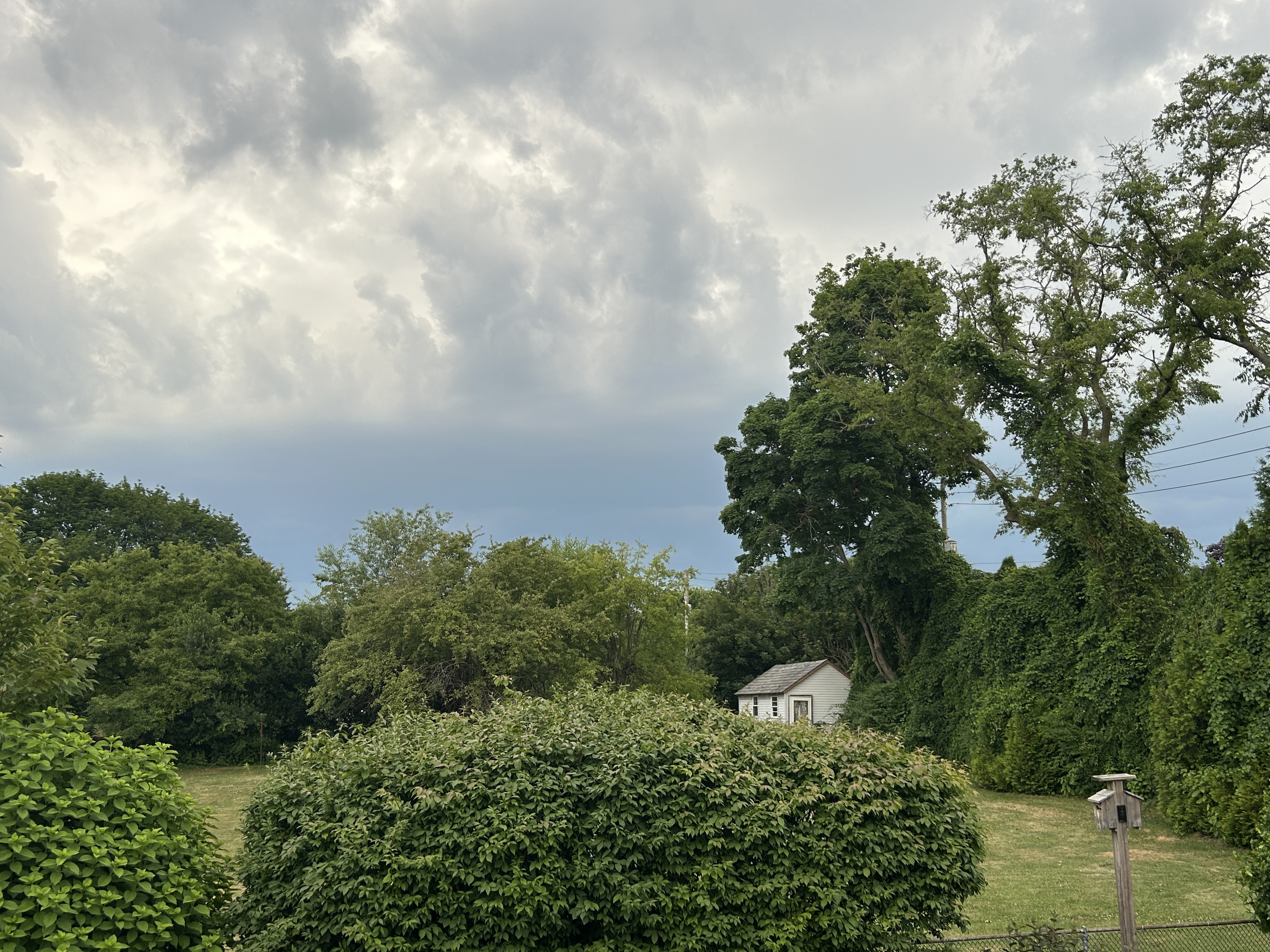
Storm winding down now. Waiting on the rainbow.
-
Continuous lightning and thunder as this feature pulsed up right as it reached me. 240 strikes on my Tempest in the last 20 minutes.
-
Spectacular storm getting underway here. Big wind gust to 32 mph. My daughter observed a large transformer explosion off to my south while I videoed the view to the west.
-
Reasonable looking roll cloud as it comes on in.
-
I am watching the line segment near Harrisburg. Looks healthy currently and is moving EB at 55 mph according to the SWS put out by State College for that area. Timing on it would have it approaching the Delaware River bordering western NJ around 7PM.
-
I’m in PA and with the exception of a brief shower yesterday evening also have had virtually nothing this weekend.
-
Recent gust at my station to 19 mph on Fire Island. A nearby ocean side station has just gusted to 30 mph.
-
Recent gusts at my station on Fire Island are at 15 mph. Ocean side is 20 mph. Typical winds there for this time of day.
-
Much of yesterday’s convection had to do with the motion and location of outflow boundaries that were literally all over the place - particularly west of the city. Today’s convection will be getting a boost from the forcing coming in ahead of the cold front later.